Excited to test out the rear shock relocation I'd just completed with the help of Zane @Speedytech7, I headed north toward Las Vegas to pick up @mrs.turbodb who was flying in for a two-ish day trip along the Old Mojave Road - a historically significant trail through the Mojave National Preserve in southern California.
Passenger acquired, we made a quick dinner pit stop at The Habit Burger - a place we'd never been before but had heard had amazing burgers at drastically low prices ($3.50). The burgers were actually quite good - I'd recommend them over any other fast-food burger - and the fries were good too, though we felt a bit overpriced. We then headed south - our only goal for the evening to reach the beginning of the Mojave Road and find a spot to camp, given that it was already dark by the time we headed out.
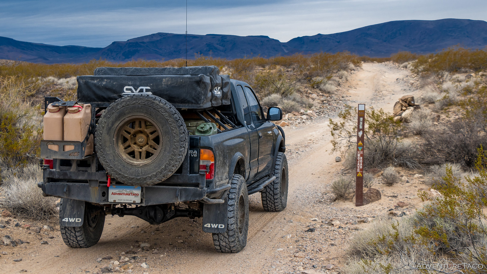
It was 9:15pm when we arrived at the eastern end of Old Mojave Road, and we stopped just long enough to get a shot of...well, not much.
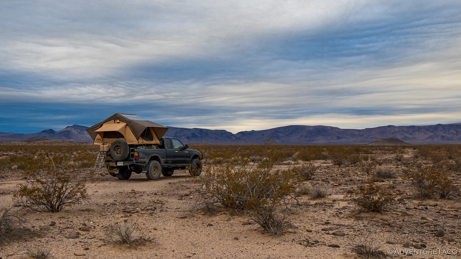
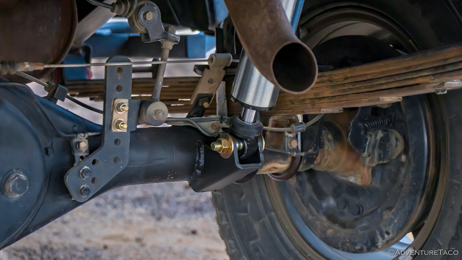
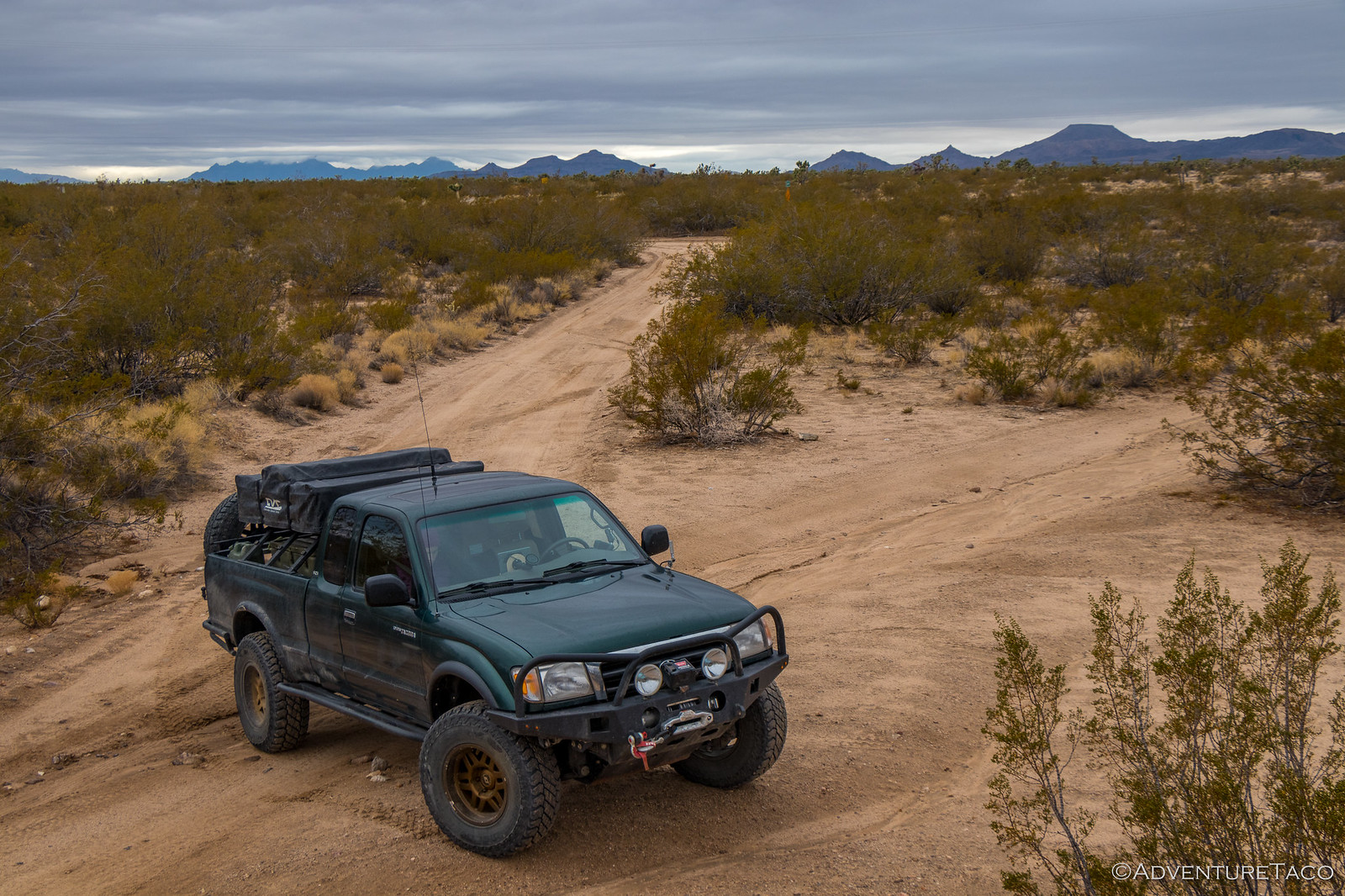
We headed west - not more than a mile or so - until we found an offshoot with a nice area to camp. A bit exposed - we were in the desert after-all - but it wasn't supposed to rain and the wind wasn't too bad. It was over this mile that we also discovered that the shock work I'd completed the day before wasn't going to work for us on the trip - even over small bumps the shocks were bottoming out - only having perhaps 2" of up-travel with a fully loaded bed.
We were going to need to make a decision in the morning...
- - - - -
The next morning we woke to overcast but dry skies, and the gentle breeze throughout the night had kept any dew off the tent - a great start to the trip. And the landscape was spectacular - in that desert-nothingness sort of way.
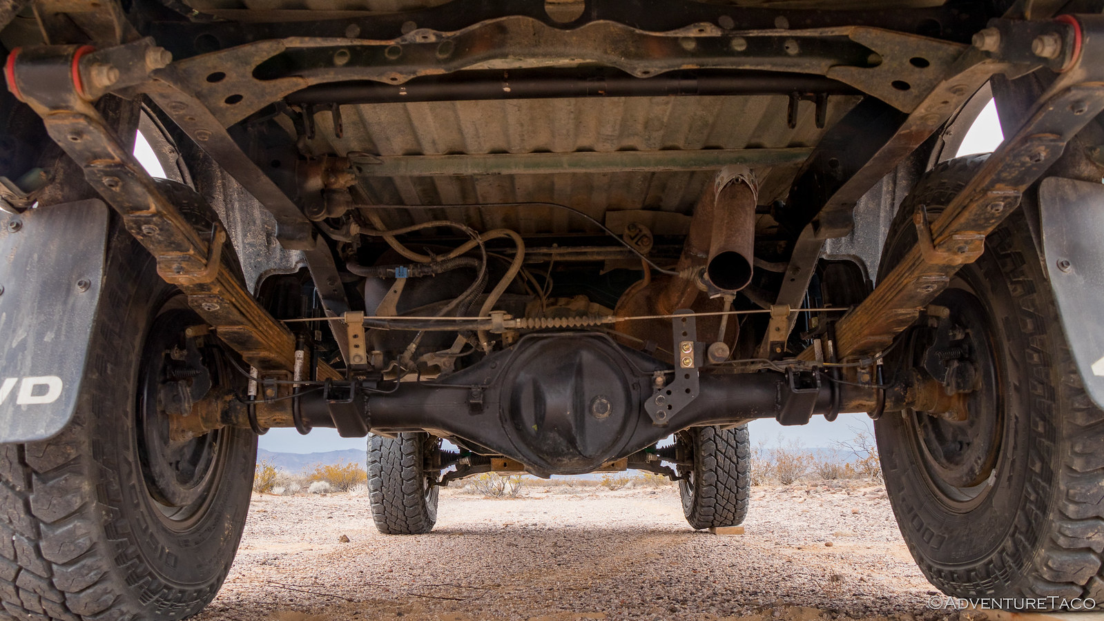
With plenty of light, and knowing that rain was on the way, it was a good time to evaluate the shock situation. I laid out the Trasharoo under the back of the truck and scooted my way under. Yep, there was definitely a problem.
I still didn't know why - I mean, we'd measured more than twice and (I thought) done everything right - but we quite clearly hadn't allowed for enough up-travel and the shocks were close to hitting their rubber bumps and bottoming out - even at rest - when the truck was loaded up.
There were two options - abort the trip and head home on the highway, or remove the shocks and run the Mojave Road with leaf springs only. The answer - to me - was obvious: adventure was waiting.
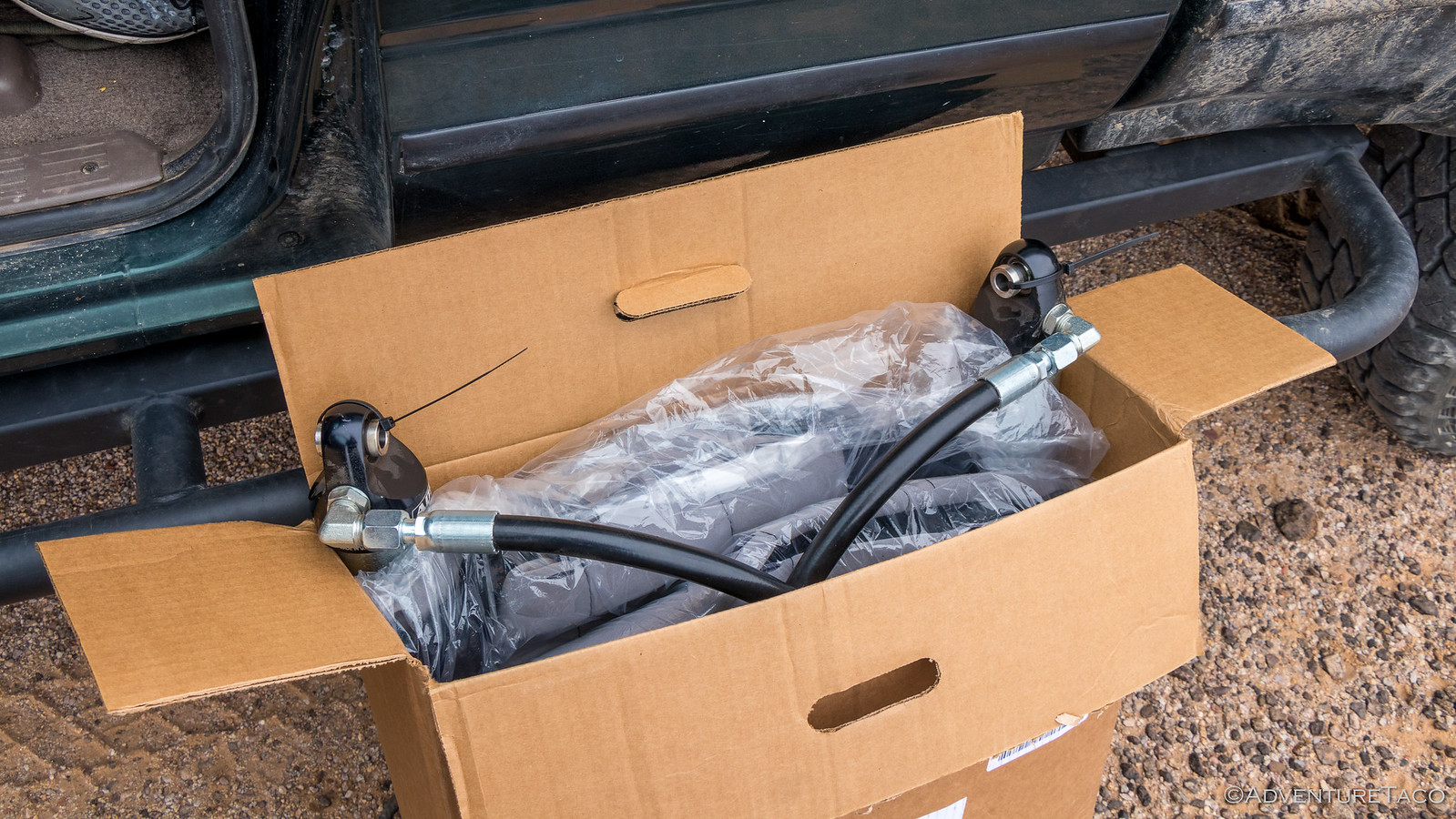
As @mrs.turbodb got breakfast (cereal ans strawberries), lunch (PB&J sandwiches), and dinner (roast turkey sandwiches) prepped, I set about removing the shocks. I knew it wouldn't be ideal for the leaf springs, but it'd be better than ruining a brand new set of 2.5" ADS smooth bodies! Back into a box they went, and the truck was once again drivable.
Just as a few drops of rain started to fall, we began our journey west - excitement and anticipation of the unknown ahead!
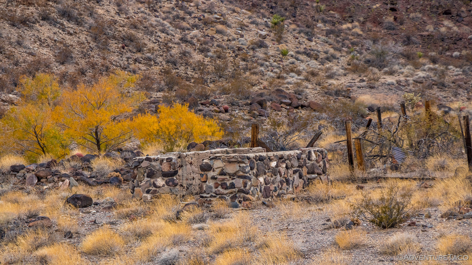
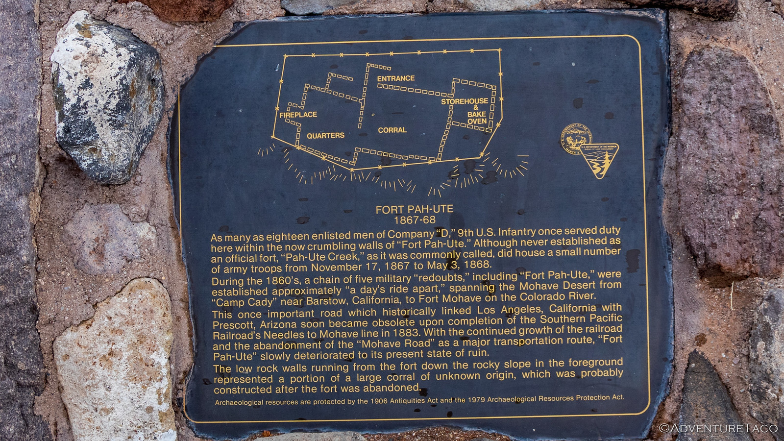
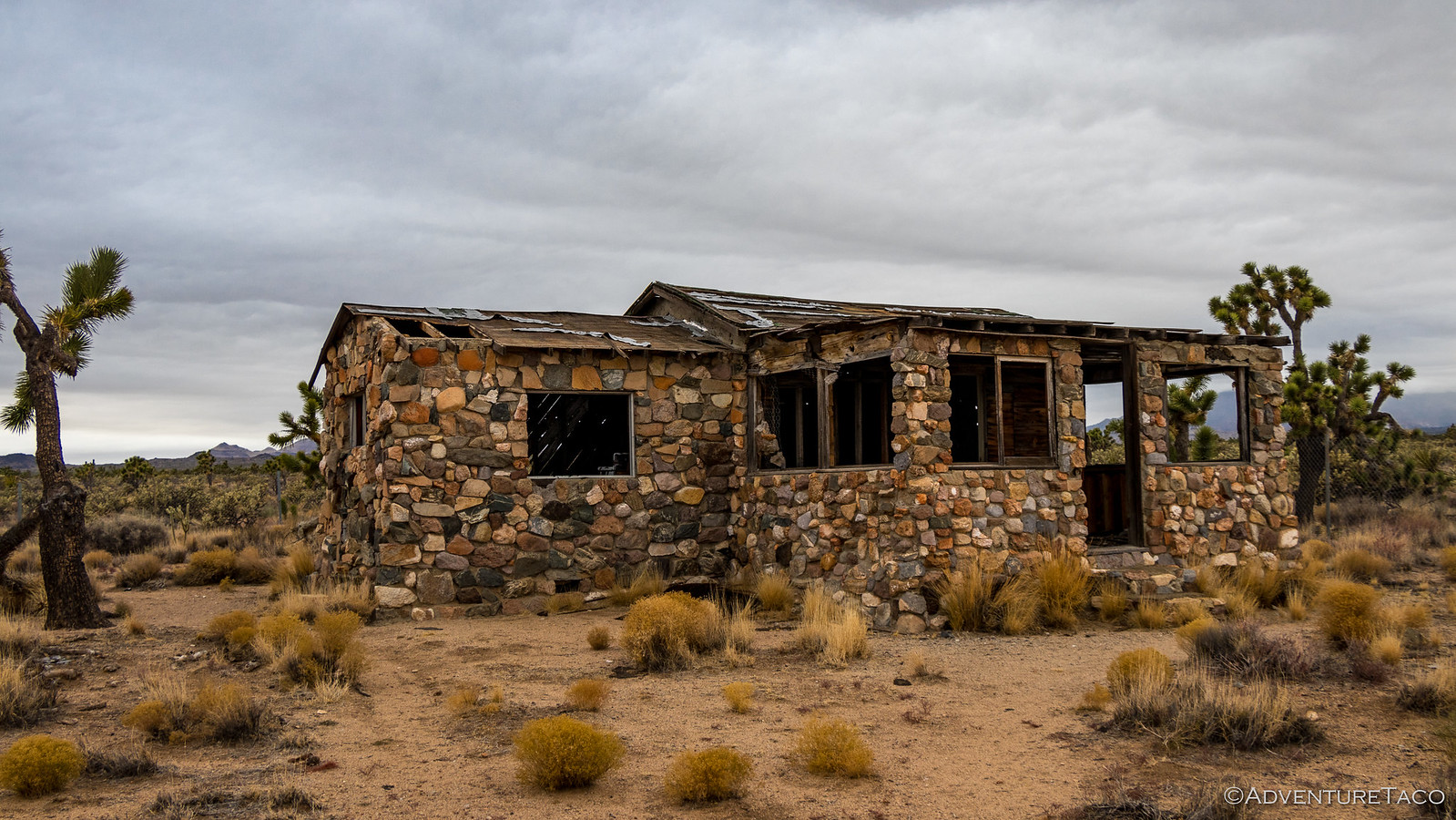
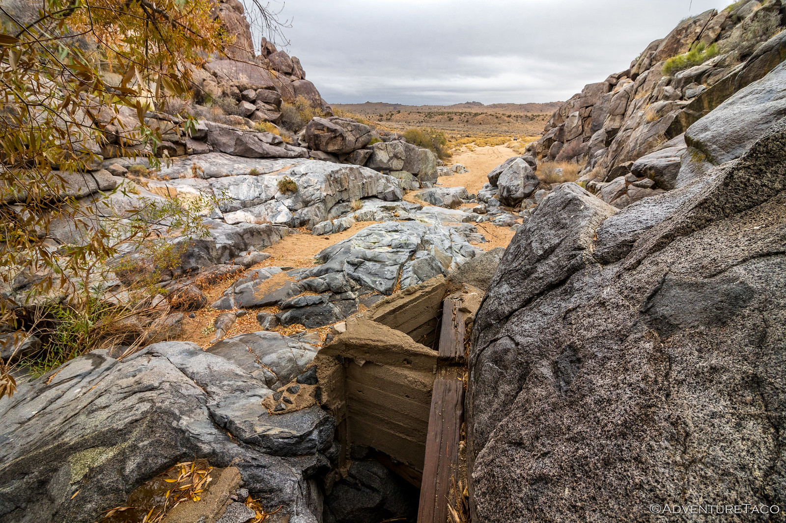
The Mojave Road has been used historically by Native Americans - Mojave runners were said to have covered upwards of 100 miles per day - but saw increased travel in 1848 and 1849 after the land was taken from Mexico and as American settlers headed west to California as part of the gold rush. Naturally, conflicts arose and the U.S. government began sending troops and building forts to protect travelers along the route. As we made our way to towards one of these forts - Fort Piute - we ran into the ruins of an old homestead - only the rock portions of the structures still standing.
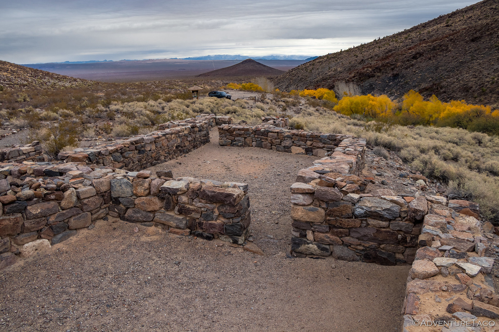
It wasn't long before we reached the remains of the old Fort Piute, part way up Piute Canyon.
Built in 1867 to protect the mail route that ran along the Mojave Road, the fort was tiny - though it housed both humans and livestock. As often seems to be the case in the early American west, the mail route was changed to a southern route less than six months after the fort was completed, and it was abandoned. Built entirely out of stone, its walls remained mostly intact until 1930.
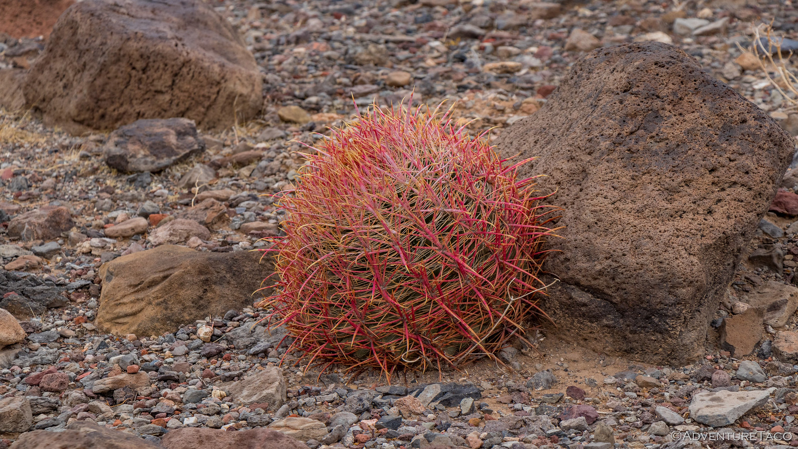
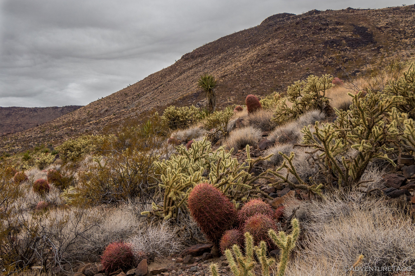
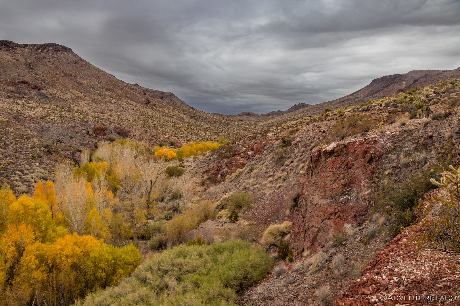
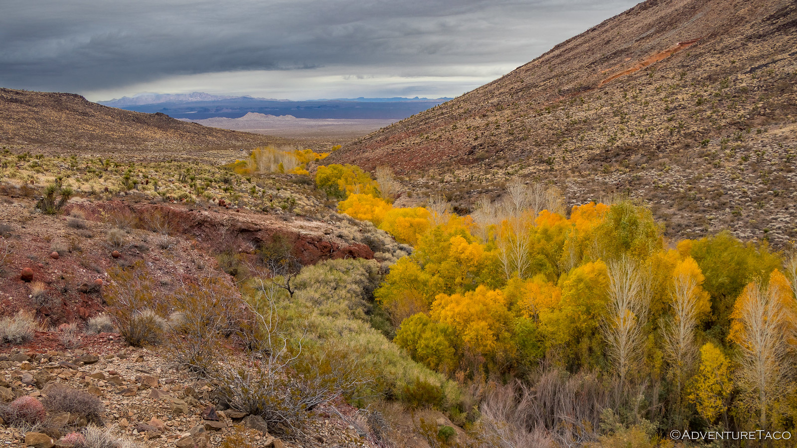
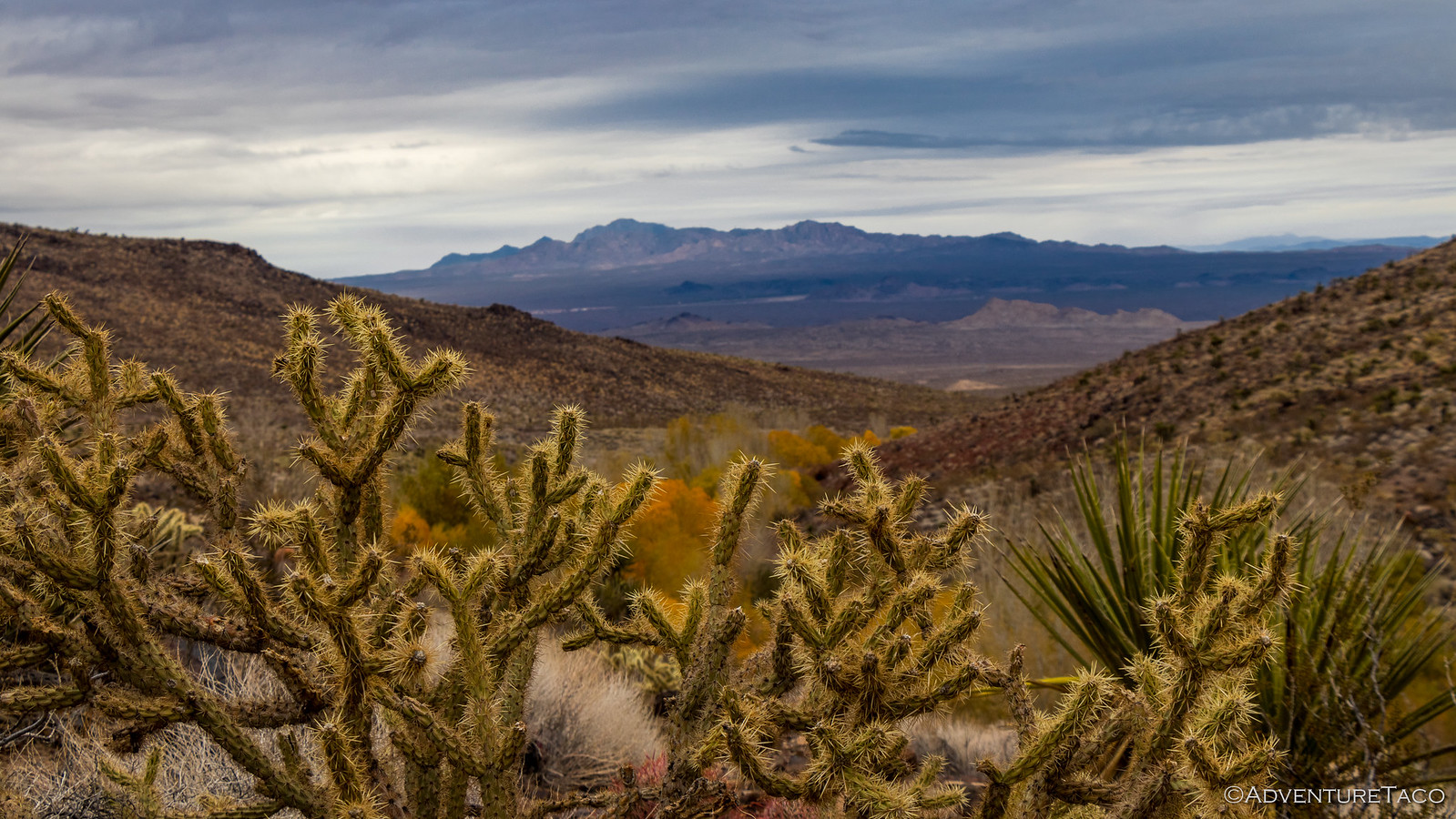
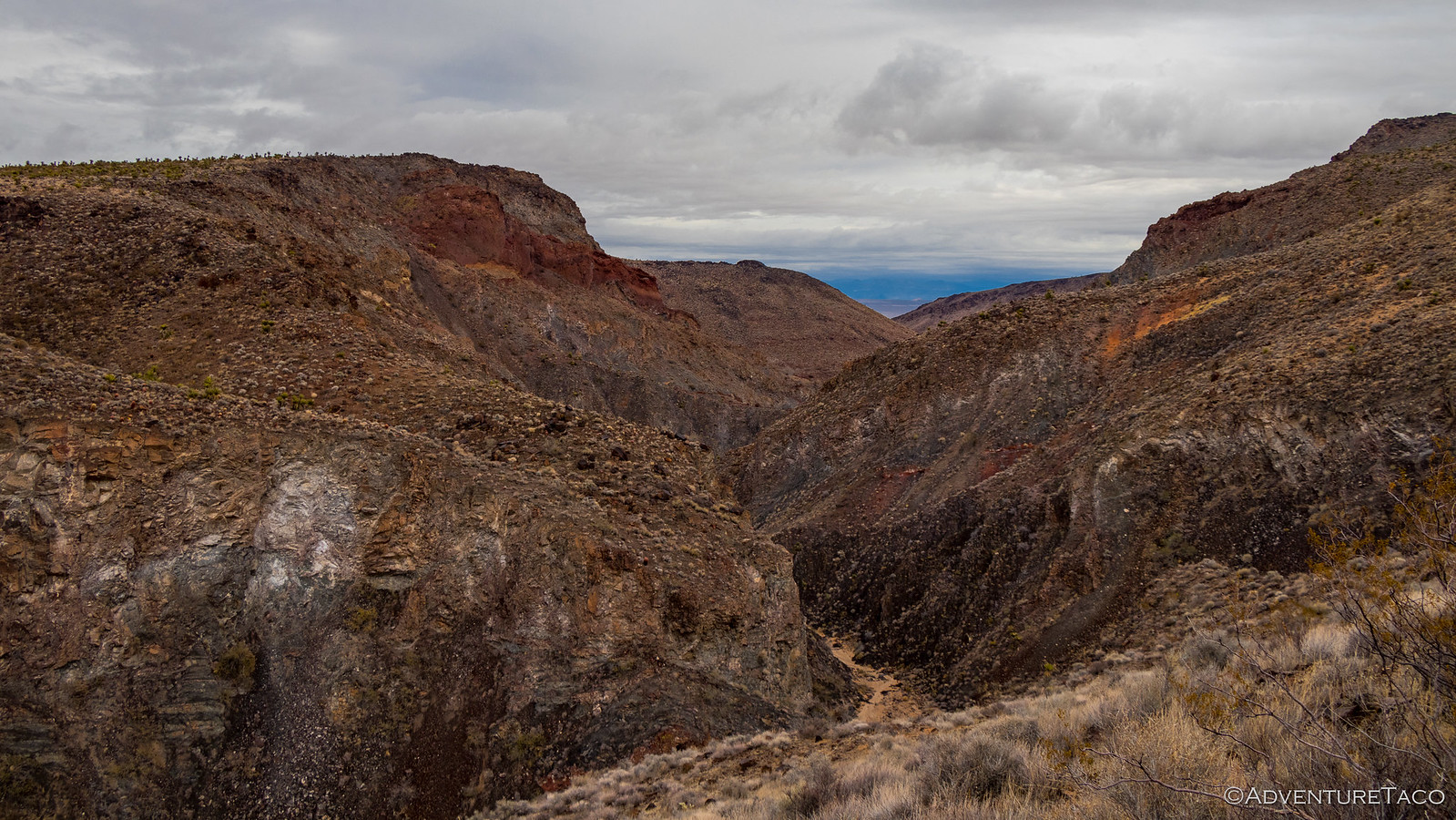
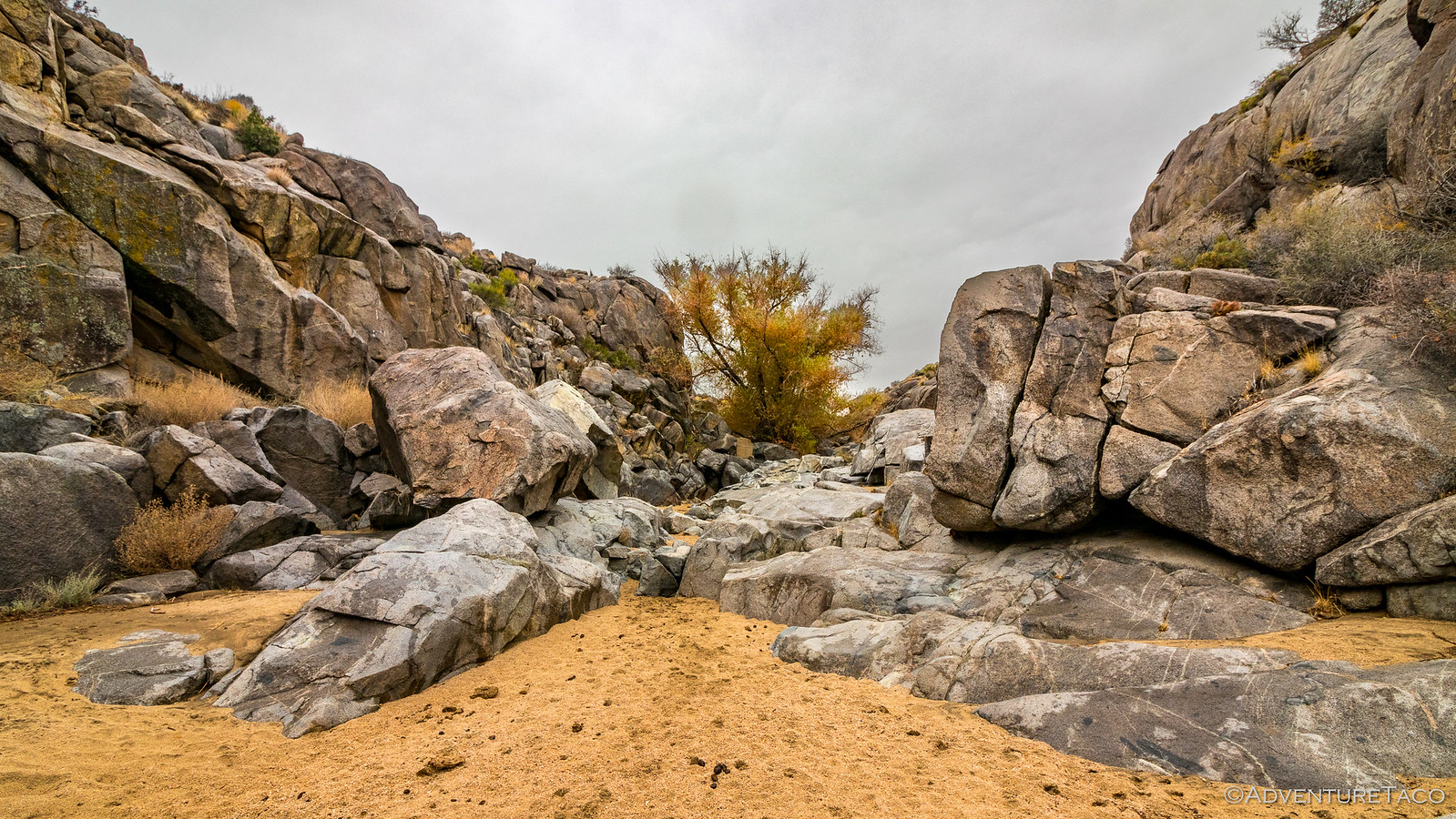
It's obvious why a fort was built here - Piute Canyon was beautiful this time of year, Willows and Cottonwoods a bright yellow even with overcast skies; the hillsides dotted with barrel and chollo cactus as well as two different yucca's - truly a feast for the eyes.
I highly recommend making the couple-mile out-and-back hike up the Old Mojave Trail into Piute Canyon. There, the landscape continues to unfold, the red walls of the eroding canyon contrasting beautifully with the vegetation. It's an easy hike with very little elevation gain, but you want water in the summer when it's warm, I'm sure.
Now mid-morning, we knew we had a lot of ground to cover if we were going to complete the road on our two-day schedule so we climbed into the truck and got underway. I'd heard that part of the road here - which skirts Piute Canyon - might have been washed out and require a re-route, and sure enough it wasn't long before we came upon some road signs suggesting possible trouble ahead.
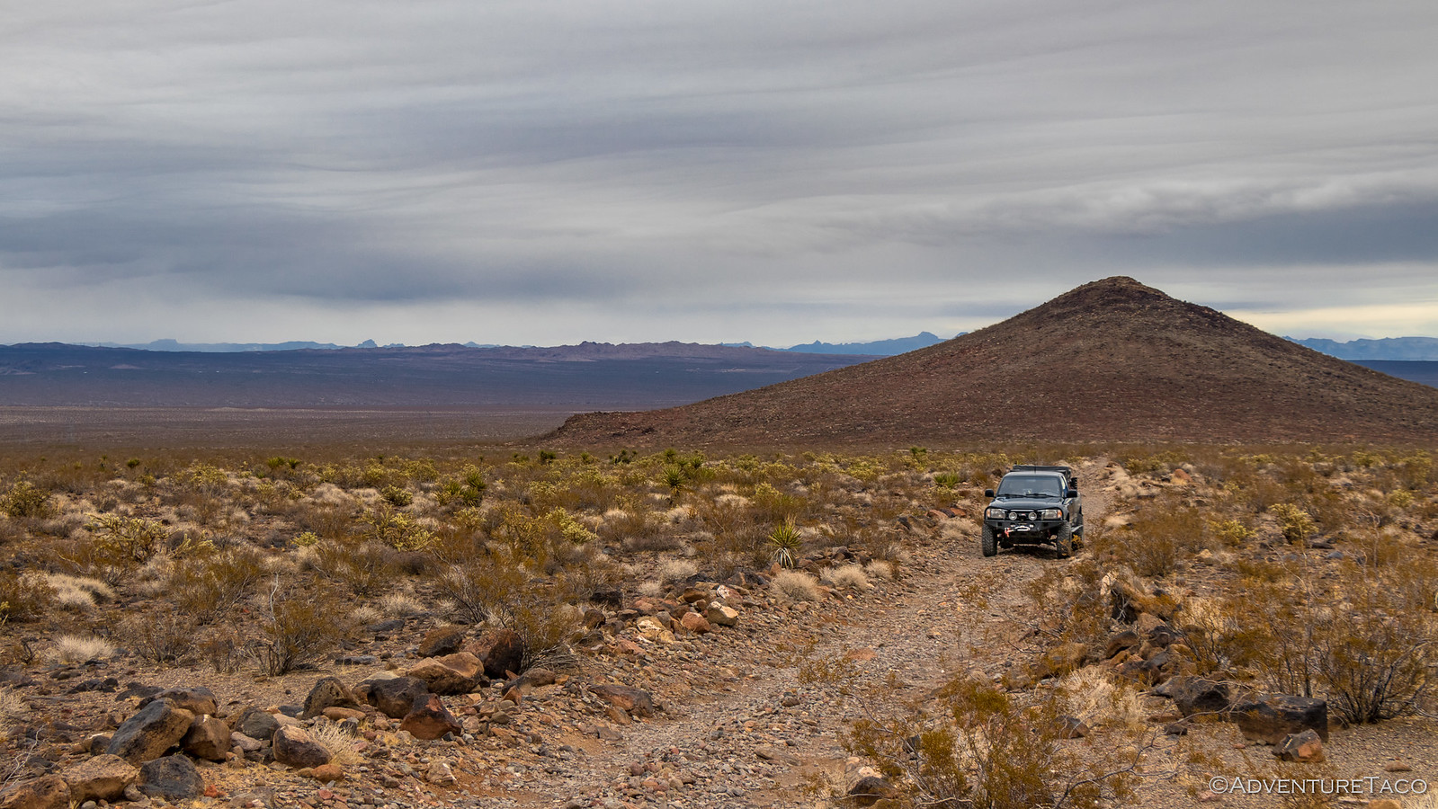
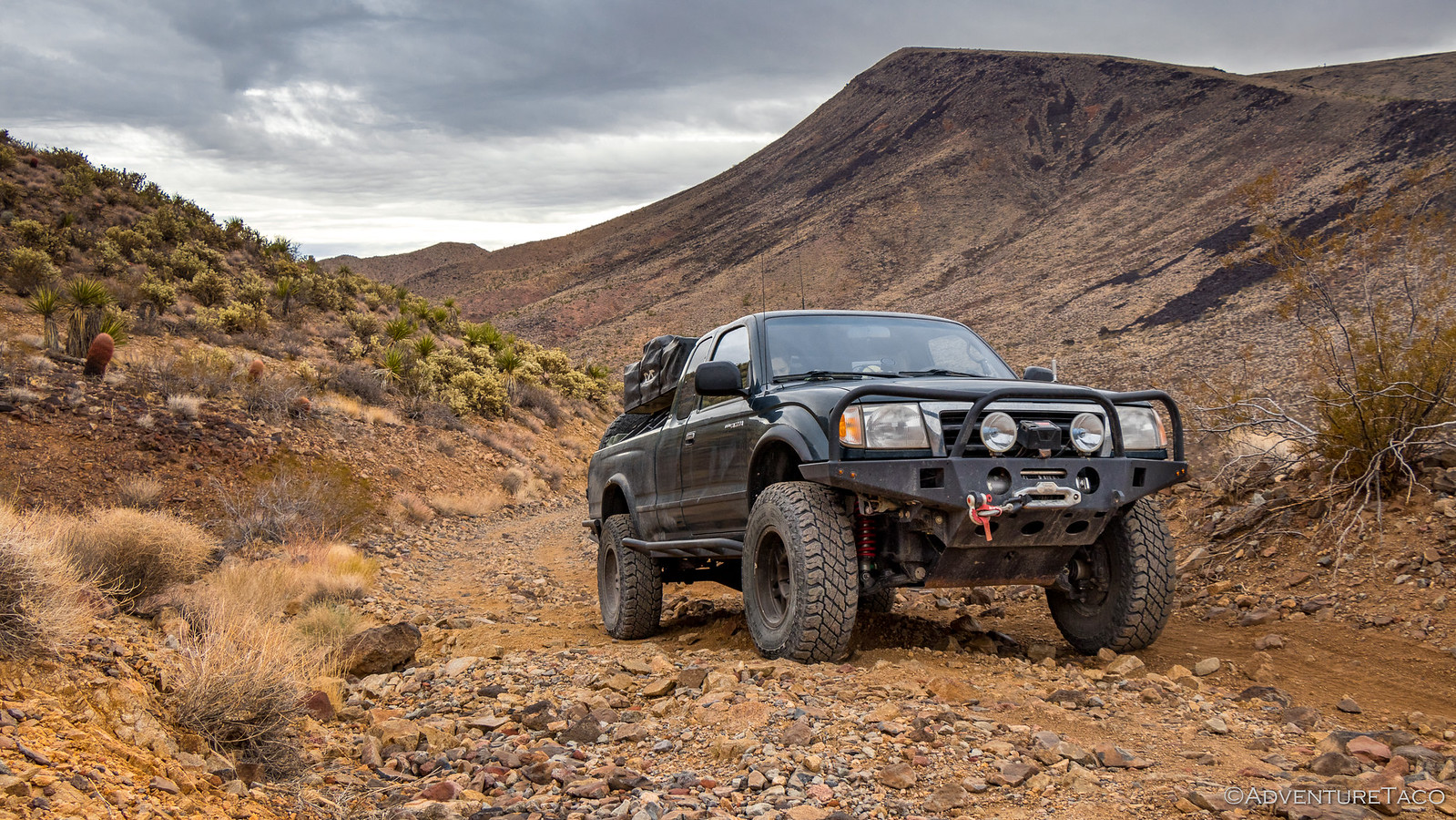
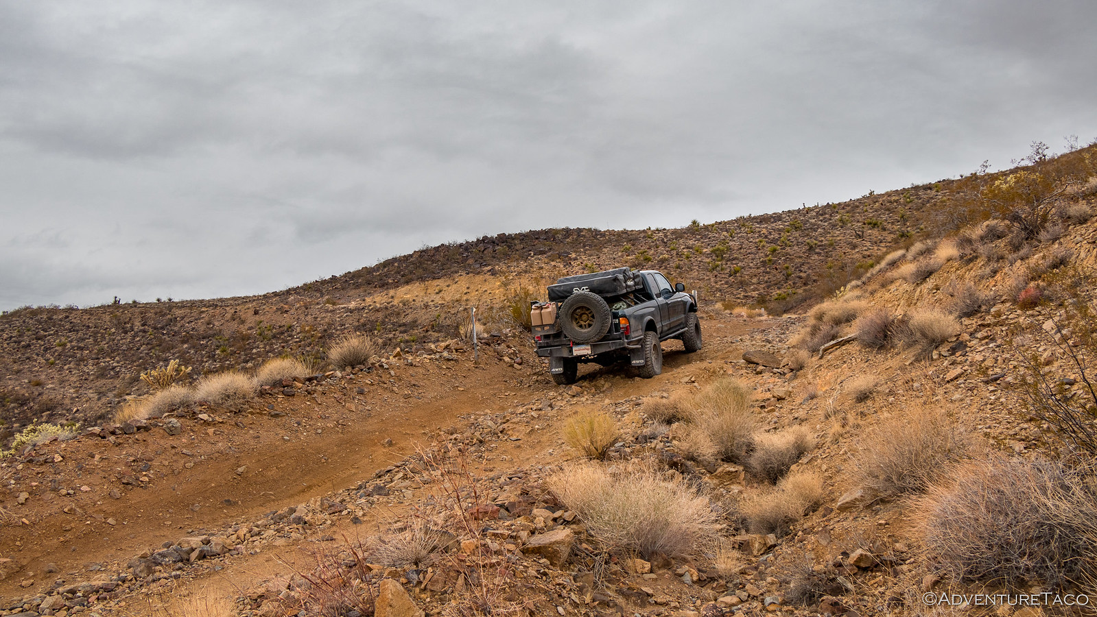
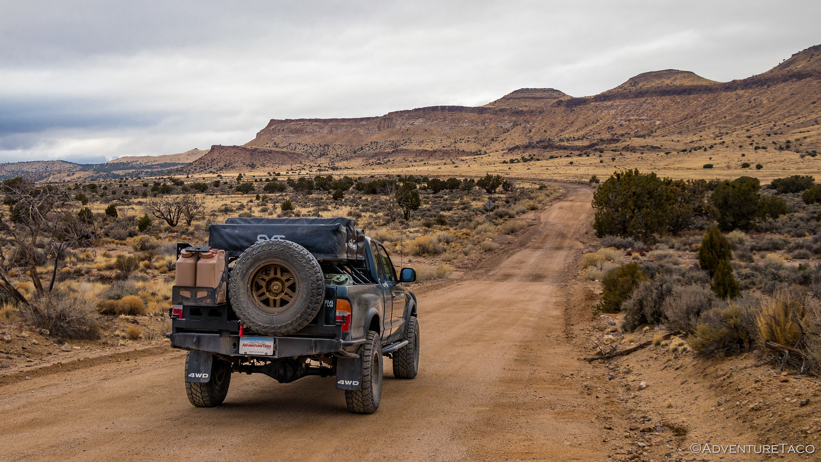
Ready to re-route if necessary, we pushed forward, climbing up and over the Piute Range with little trouble - the route perhaps a little worse for wear but clearly passable at this point.
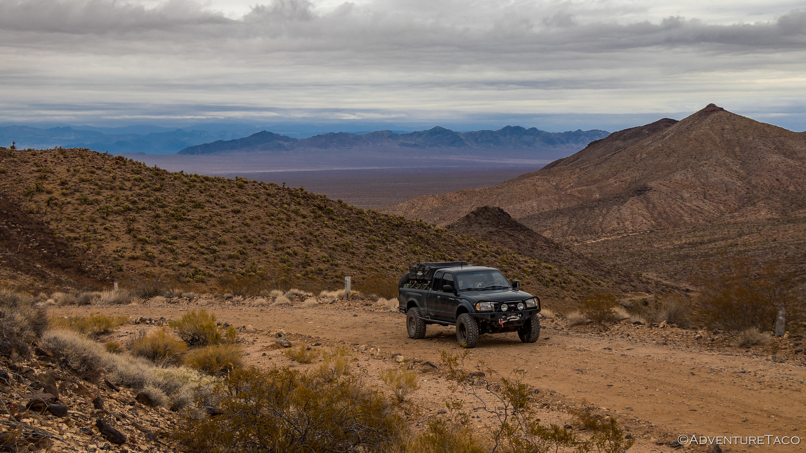
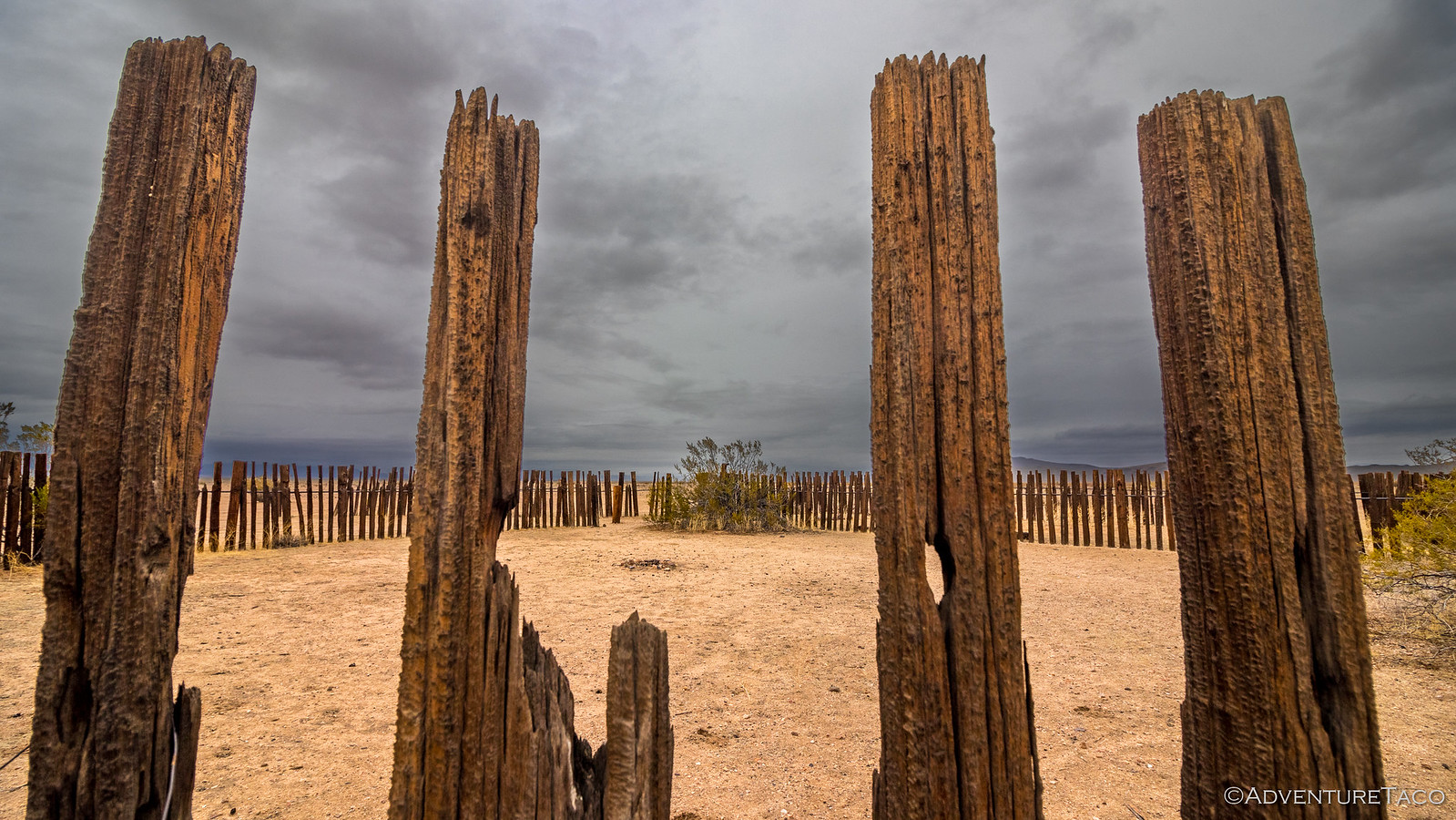
At the top of the pass, the landscape opened up - Lanfair Valley ahead. That's where we were ultimately headed, but it appeared to us that a short side trip might take us right by an old corral and perhaps give us a view into the west side of Piute Canyon something we didn't want to miss.
From there, we continued west on the Mojave Road and into Lanfair Valley, on the lookout for a good lunch stop and apparently missing the old schoolbus and penny tree - just a couple of many reasons for us to return for another look in this magic place.
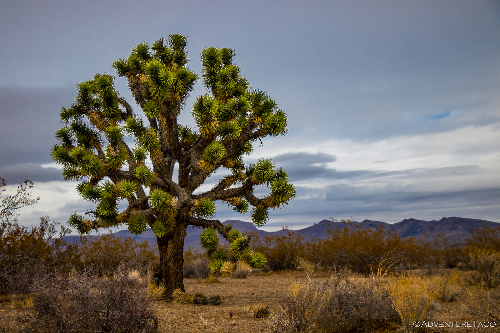
As we drove, the creosote rose around us, a few Dr. Seuss-ian Joshua Trees just starting to appear in the landscape.
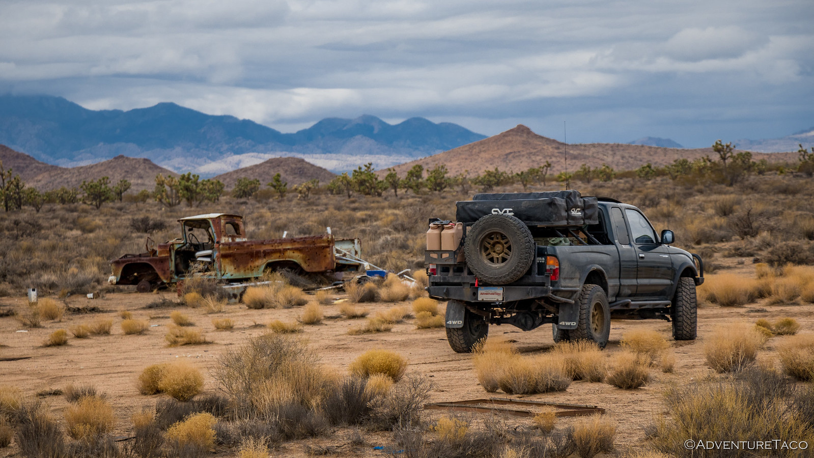
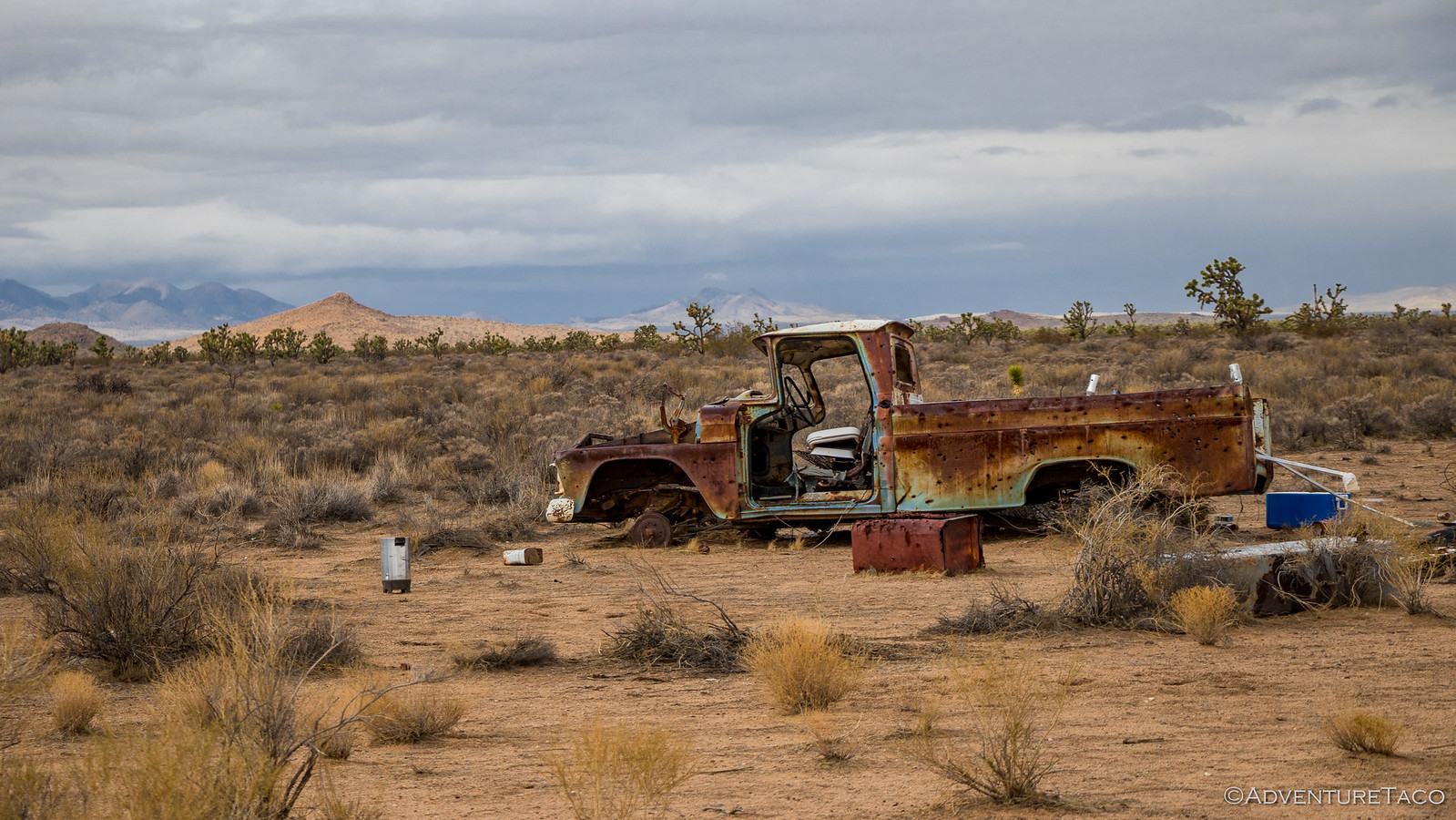
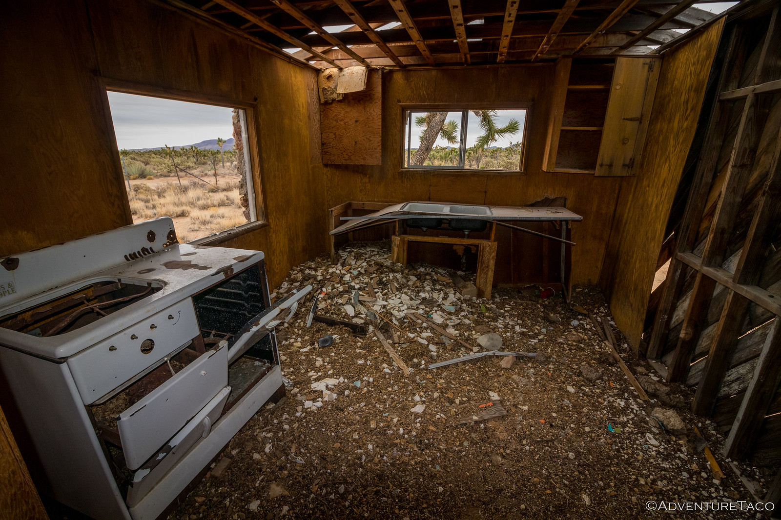
And then, a little way off the road, we saw what looked like the remains of a small tornado. More likely it was simply an abandoned homestead that had been vandalized by previous passers-by, but we decided to check it out anyway while we ate lunch. An old Ford pickup was now the centerpiece of this attraction, the old building and couple of RV trailers now little but rubble to be reclaimed by the desert.
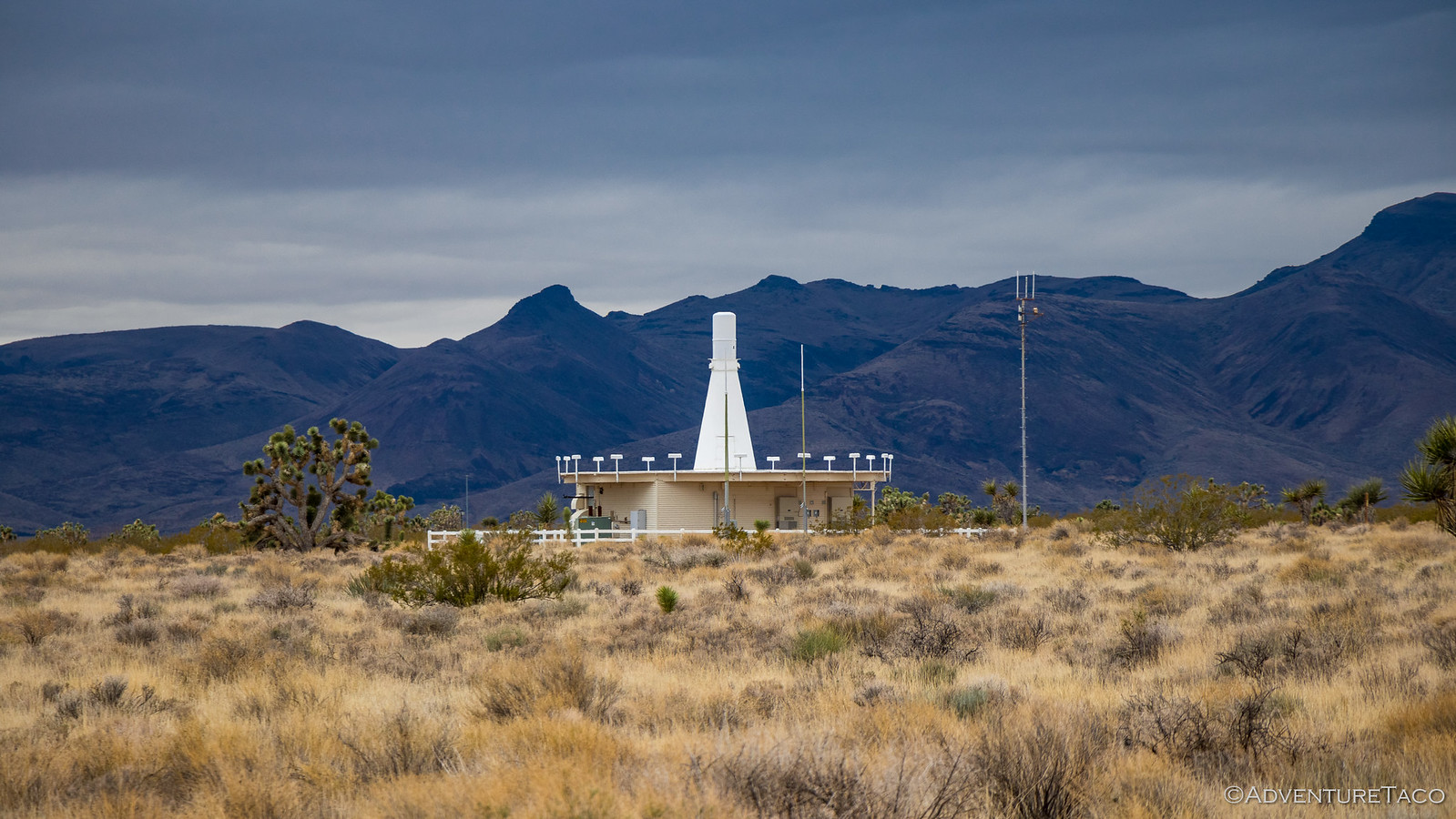
Our bellies full and with temps in the low 50's, we didn't linger long before getting back in the truck for our next stint of road. As the miles ticked away - more slowly than normal given the need to watch our speed due to the lack of rear shocks - we made our way across the valley until we saw a structure in the distance that we'd seen several times before on other trips.
We've generally seen these in less-populated areas of Nevada I believe, and probably like many, concluded they were some sort of weather station (while thinking it would be cooler if they were a missle silo!  .) I looked over at @mrs.turbodb and said, "I'm going to check this one out." - because really, there'd be no better time than the present!
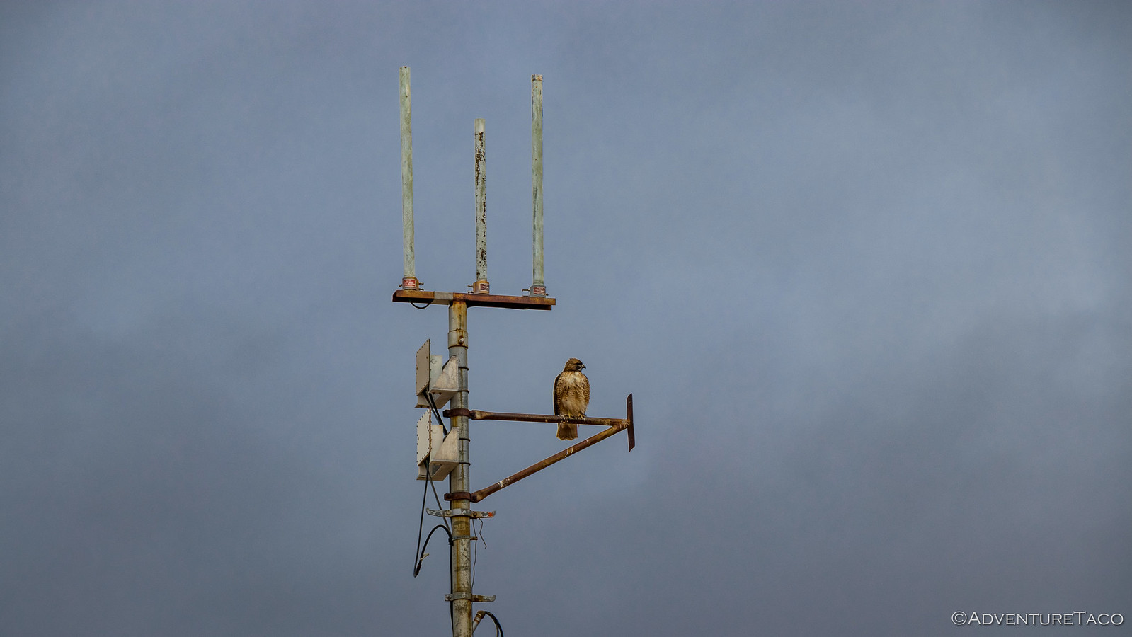
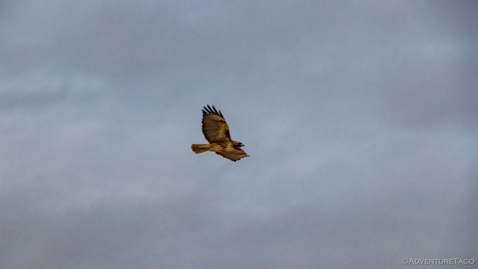
Turns out - and perhaps everyone knows this already - that these are FAA air traffic control facilities, this one known as Goffs VORTAC. Perched atop one of the antenna, a red-tailed hawk flew off as I approached - no air traffic control needed for its flight!
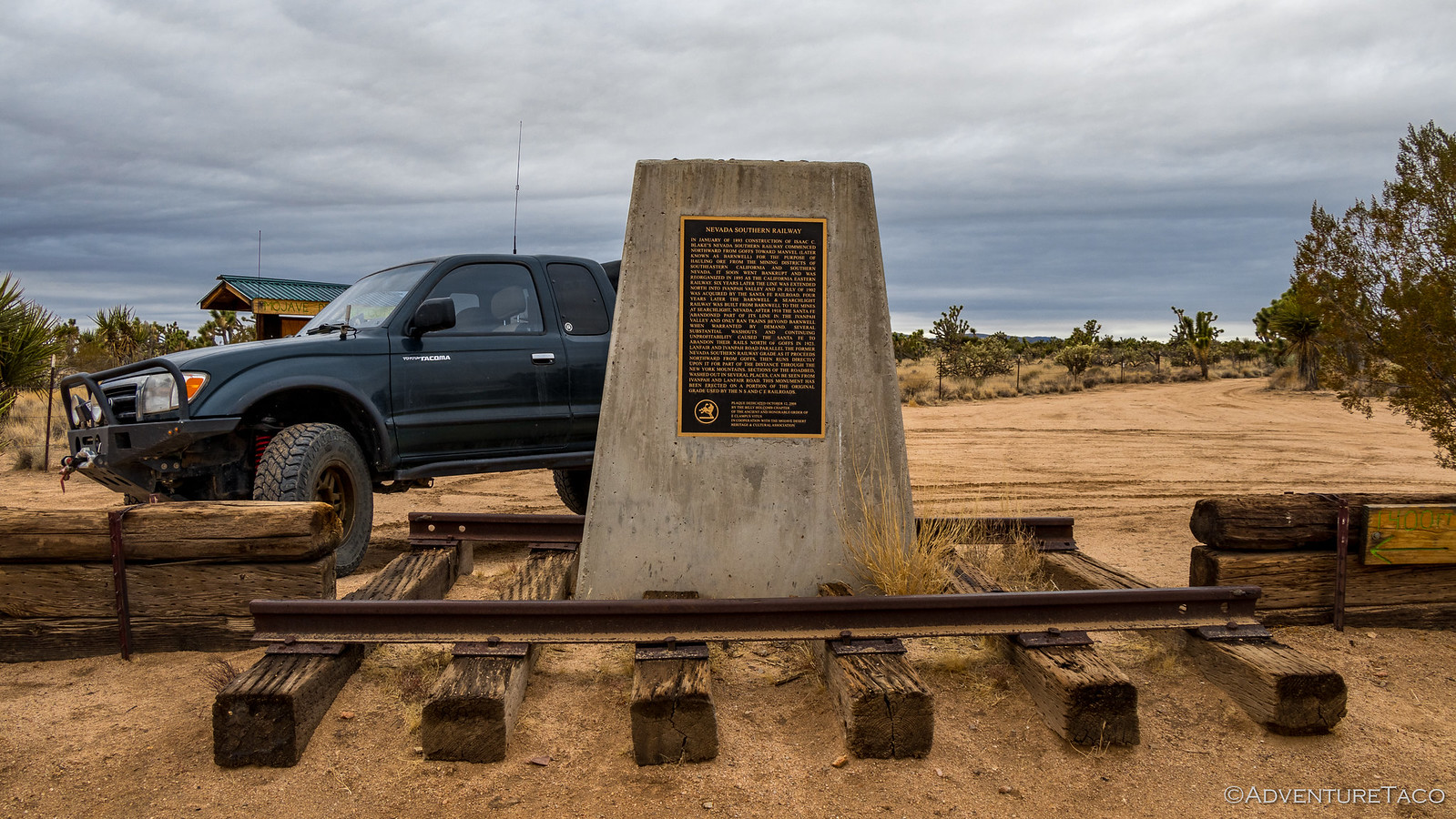
Happy to finally know what these structures were for - but a bit bummed that they weren't a super-secret, ultra-awesome missile facility, left unguarded for me to explore to my hearts content - we continued only a short distance before stumbling upon an old railway marker. The site of the old Nevada Southern Railway, it was another example of how harsh this environment could be to civilization - the company going bankrupt in 1895, only two years after completion and the line completely abandoned within 25 years or so.
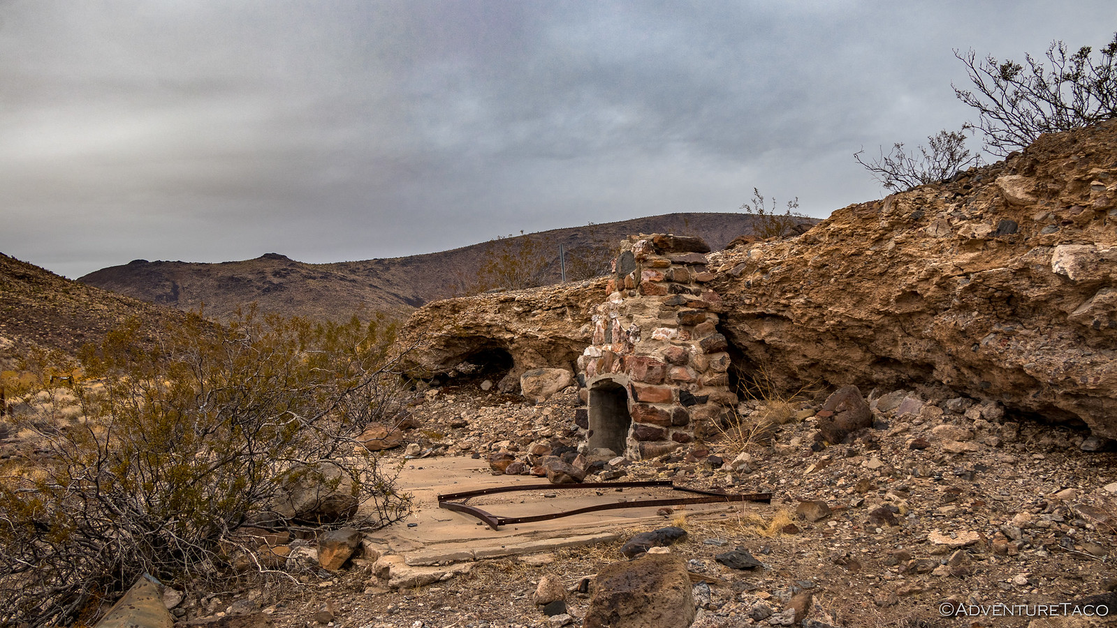
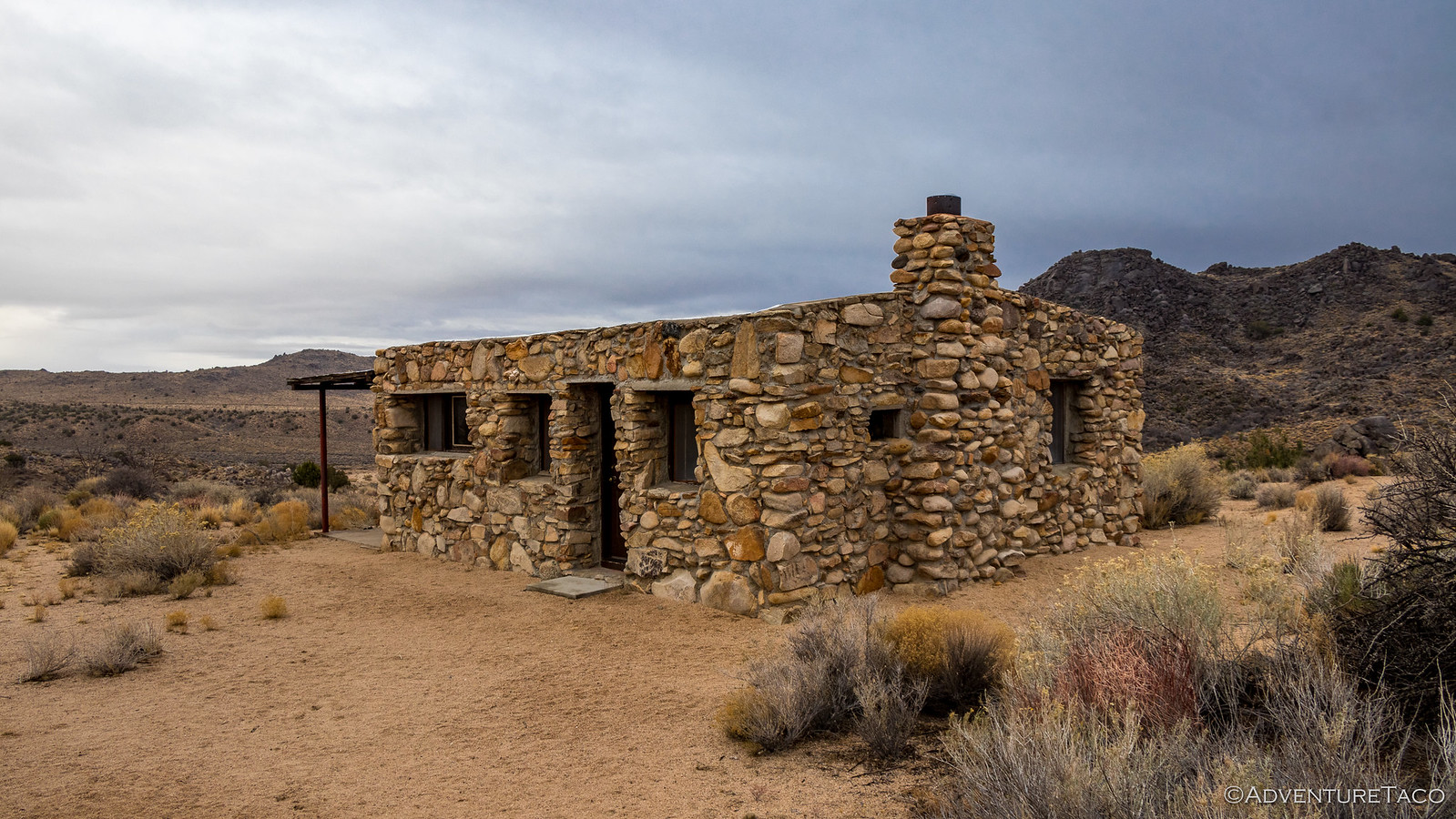
Now, as anyone who's traveled with @mrs.turbodb will know, she's a voracious "fact consumer" and always has several guidebooks around her on any adventure. This time was no exception and she'd been reading about a rock house that we just couldn't miss. So, when I saw a rock house not much further up the road, I was excited. "Too bad for you, but this isn't it." she told me. Turns out, this one wasn't mentioned by any of her books.
Naturally, we explored.
At this point though, we only had about two hours of daylight left and decided (dare I say, again) that it was time to make some tracks so we'd reach approximately the halfway point for camp. That gave us a few more planned stops along the way, and we hoped the rain - which had held off for the most part all day - would hold off just a bit longer.
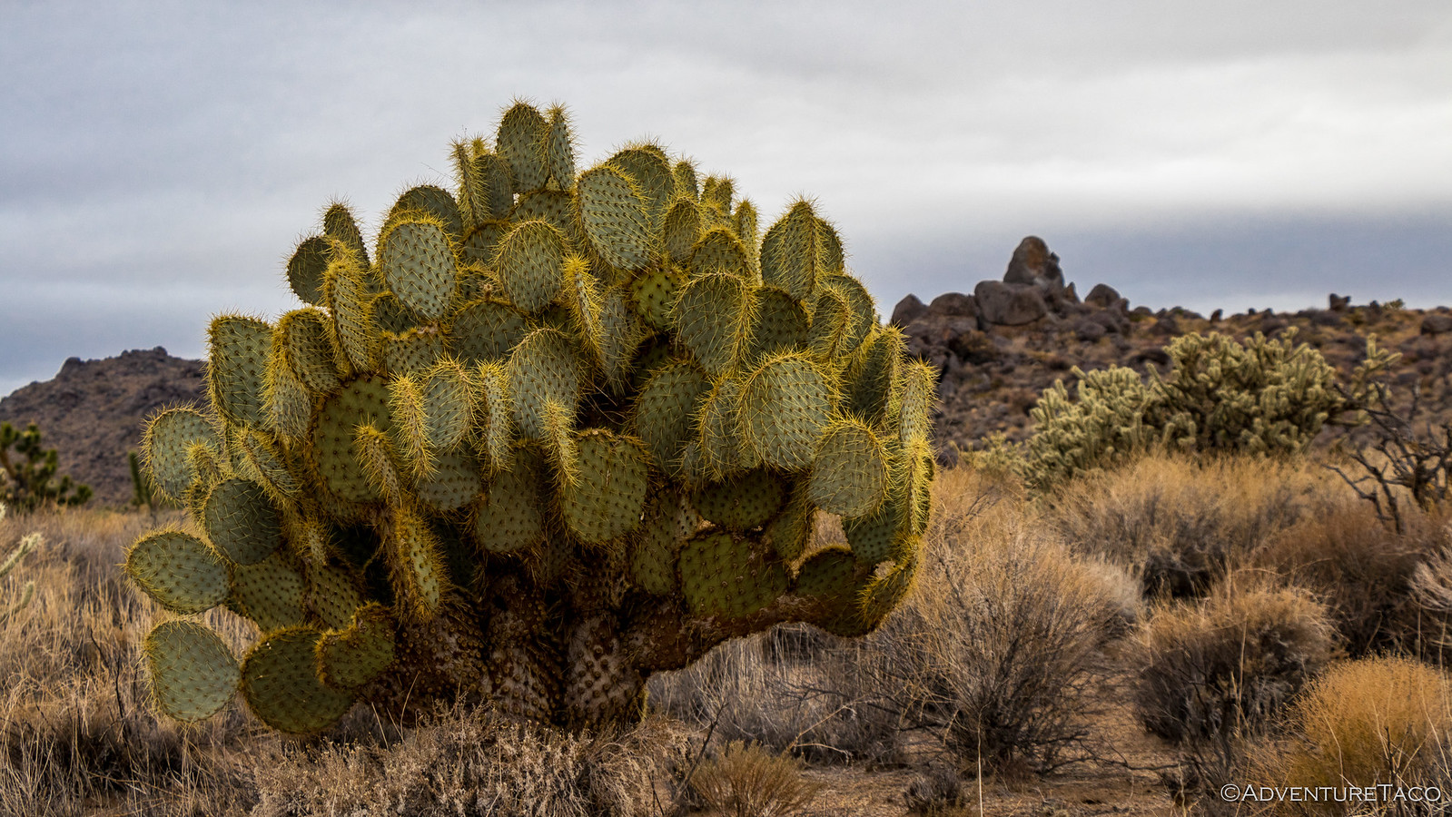
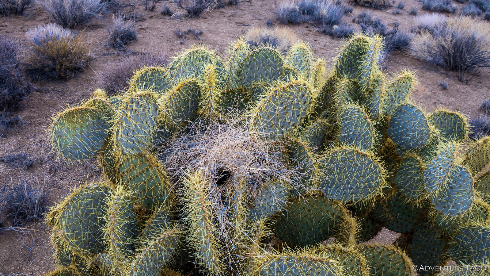
Pancake cactus and Joshua Trees now popping up more frequently around us, we pushed forward.
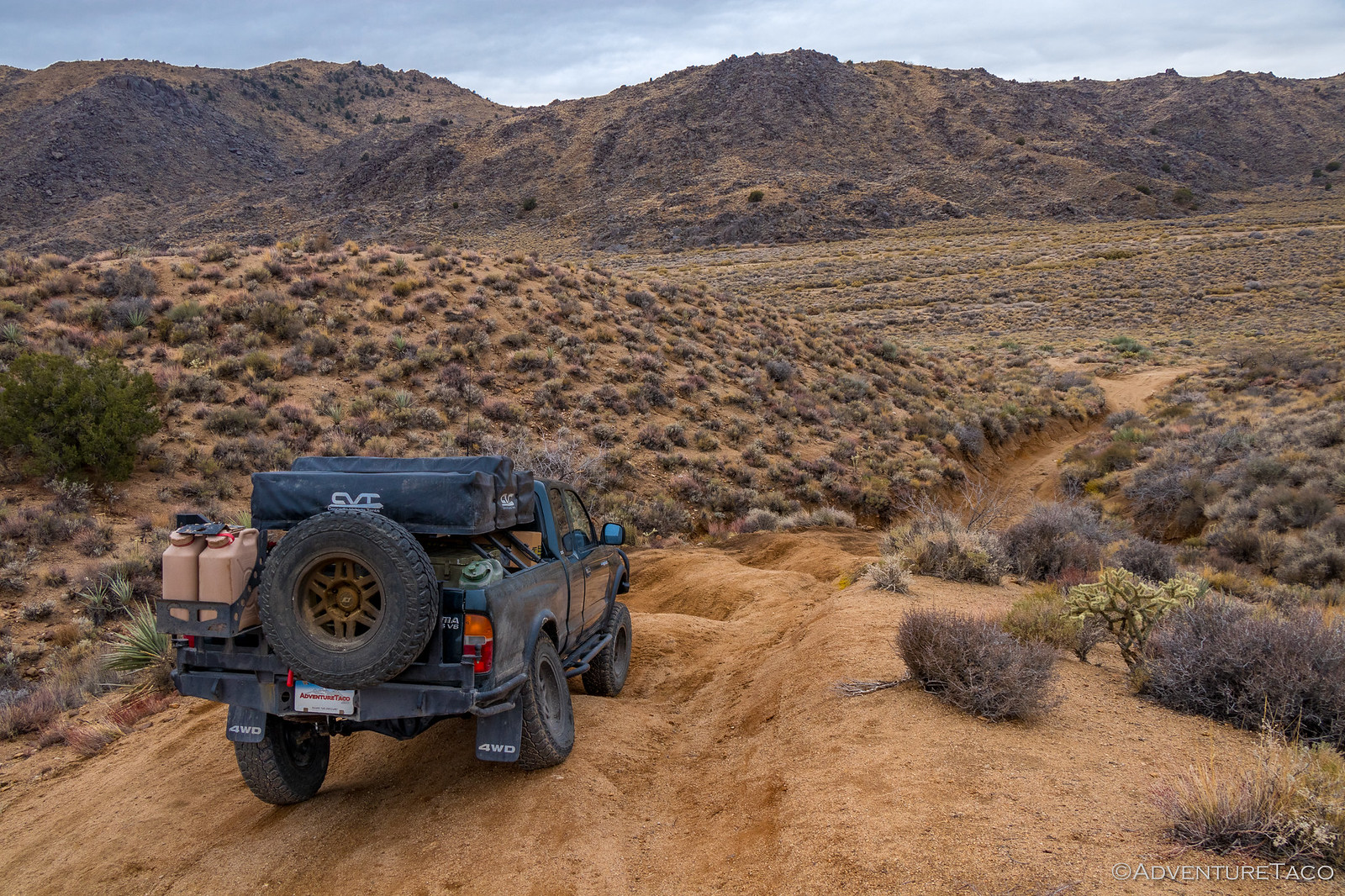
We made good time for nearly 20 whole minutes.  Really, I think it's impossible - if you're curious - to make good time on any trip like this. So it was that as we started our descent into Watson Wash, I had to stop. A relatively steep trail at this point, I can only describe the road as "mogul-y." I have no idea how it got this way, but I knew it was the perfect time to check out what was going on in the back of the truck from a flex perspective - because well, it looked like this:
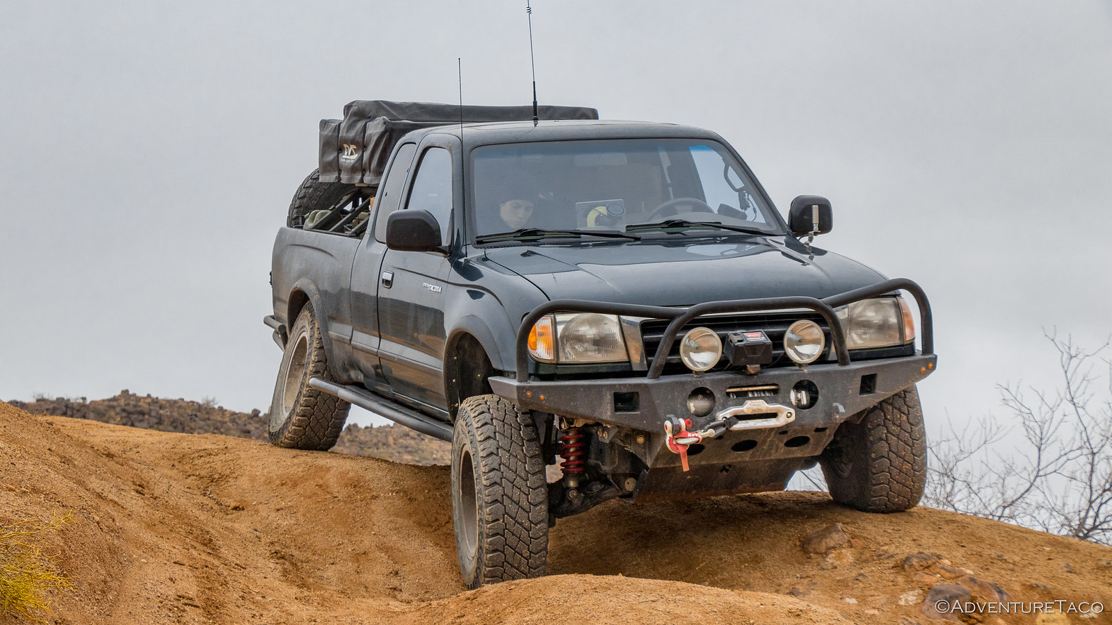
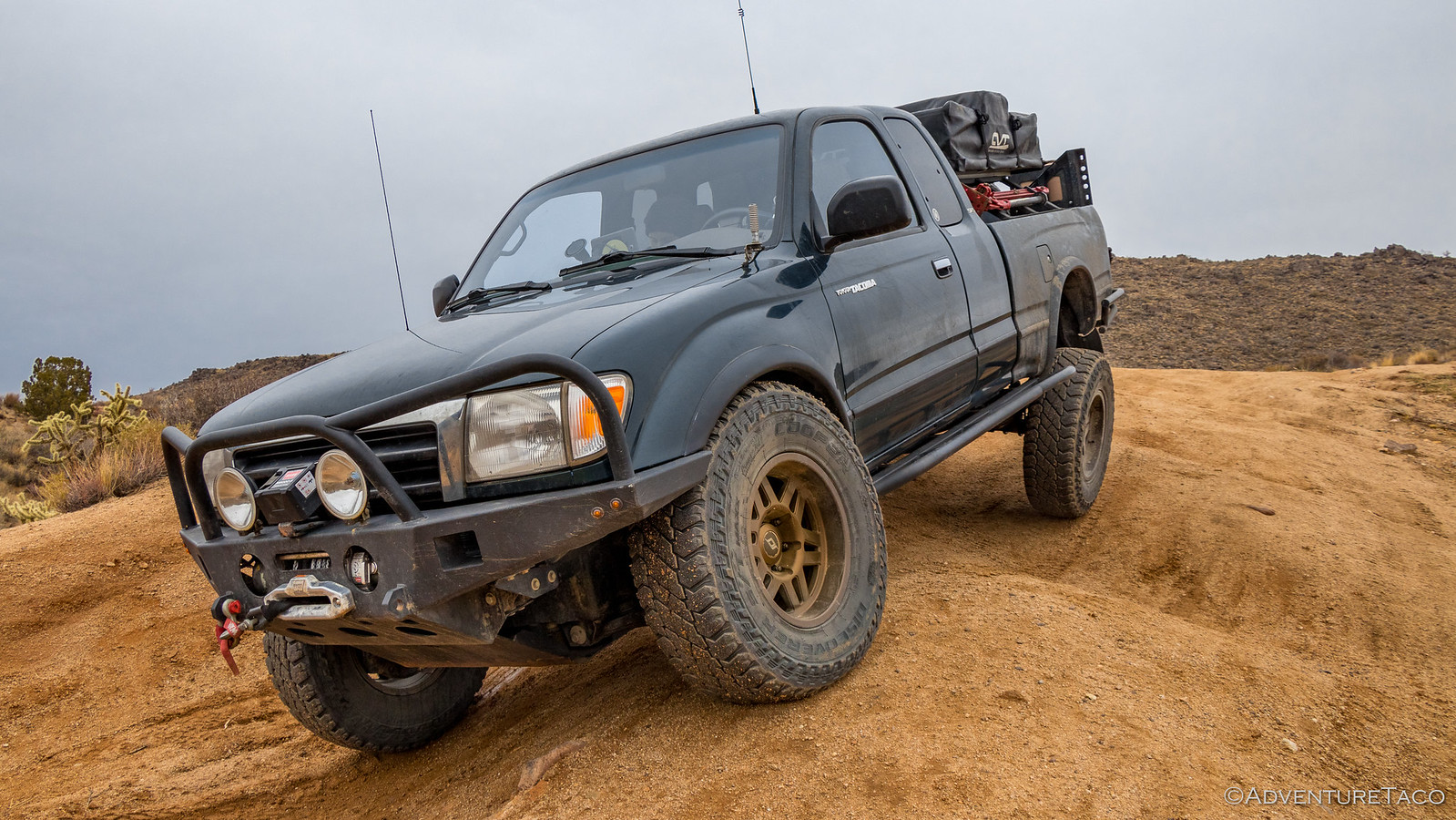
Boy, was I glad I stopped. The passenger rear was stuffed way up into the wheel well and it was clear by looking at this situation that the amount of uptravel I needed on the rear axle was way more than I'd thought when we tried lifting the rear axle with a floor jack. The axle had moved a good 3" further up and the bump stop was touching the frame rail. The leaf springs themselves looked OK too - slightly inverted, but not too shabby.
I'd need to make sure, when I re-worked the mounts, that I could get at least to this point with the rear. I hoped I had enough room to move the upper mounts to accomplish that, but I was pretty sure I didn't. Oh well - now wasn't the time to worry about that - and we continued down the moguls to the bottom of Watson Wash and up the wash to Rock Spring.
Rock Spring was another army post along the Mojave Road. It's military status started in 1860, and during the Civil War it was frequently outposted. In 1863, as an outpost of Fort Mojave, its detachment was to keep the fort informed "of any hostile movement that may be made within your knowledge." and the detachment was to send out "detached scouting parties" in order to "keep the road clear and open for travel in the vicinity." It became an official army post in 1866, housing more than 20 men and a post office for two years until it was abandoned in 1868 due to lack of water, scurvy, and desertion.
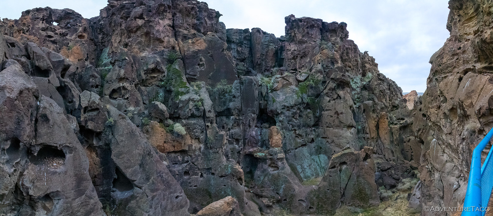
Today, not much remains of the post except for some rock walls and commemorative signage, though Rock Spring Canyon is still a pretty cool place to explore.
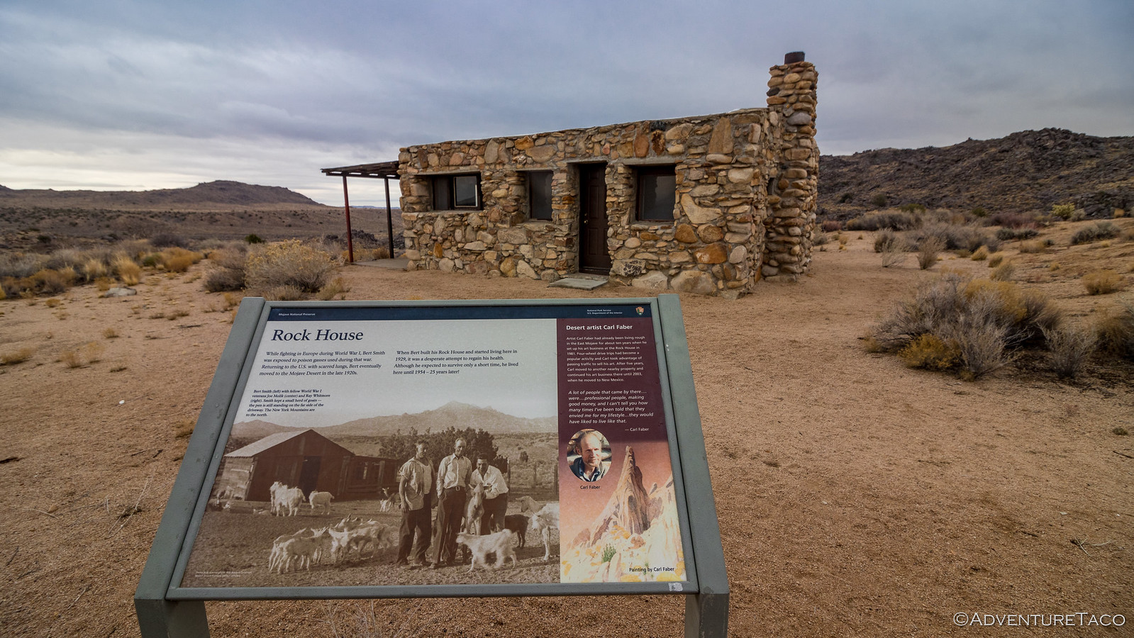
On the hill above Rock Spring is the Rock House that @mrs.turbodb had mentioned, so we popped back in the truck for the quick jaunt up.
While fighting in World War I, Burt Smith was exposed to poison gas and was expected to live only a few months. The U.S. Army moved him to the Mojave Desert where he built Rock House in 1929 - hoping to prolong his life, if even for a short time. Amazingly, he lived here another 25 years before passing away in 1954. Then, in 1981, artist Carl Faber moved into and started rebuilding parts of Rock House, which is in relatively good shape to this day. He'd sell his art to passing 4WD traffic until eventually moving away in 2003.
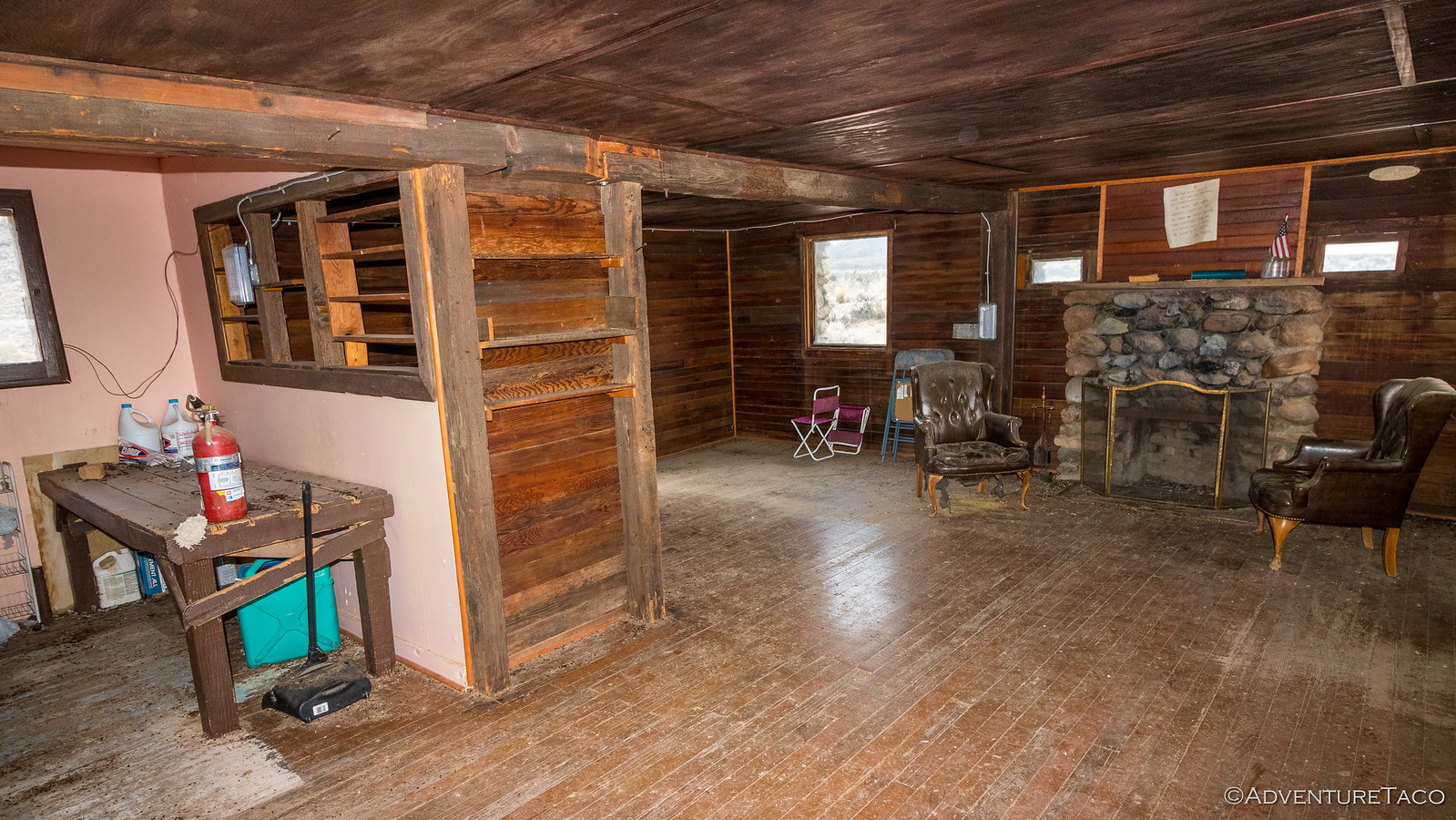
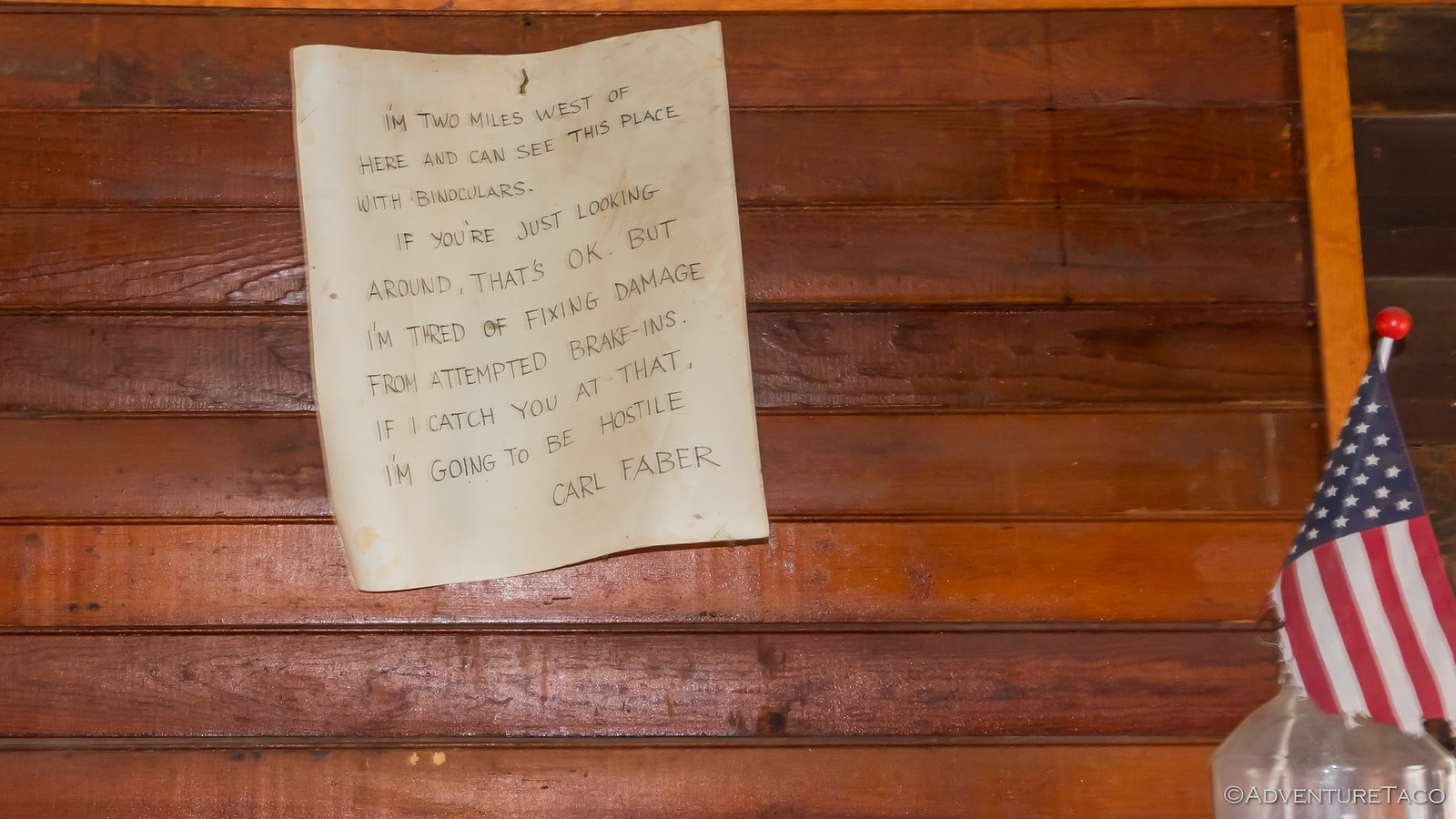
As we looked around, it was clear that a nail next to the back door was used as "the key," and we had a quick look around inside - a note from "Carl" pinned above the fireplace 
I'm two miles west of here and can see this place with binoculars. If you're just looking around, that's OK. But I'm tired of fixing damage from attempted break-ins. If I catch you at that, I'm going to be hostile.Carl Faber
As two UTVs passed by in the distance - the first traffic we'd seen all day - we walked back to the truck as the wind started to pick up. It was getting chilly and the warmth of the heater was a welcome benefit as we closed the doors and planned our next moves. Two more stops we decided, and then we'd try to get to a place called Death Valley Mine for camp.
Our first stop was one I'd been looking forward to for some reason that I now can't remember - Government Holes. Turns out, these are just some wells drilled by the U.S. Government that have a bit of colorful gunslinger history to go along with them - but today they are mostly just a gathering place for cows to find a bit of water and take a dump!
It's probably good that there wasn't much to see since that meant we didn't linger long - we were back on the road and headed west past the Pinto Mountains towards what looked like on the map - could it really be - pavement?
No, there was no pavement here, just a well-graded road south - a bit of a detour off our path, really - to a place called Hole in the Rock. Not sure what to expect, I was mostly just curious what it could be, given that we'd planned to run a trail with the same name (though we didn't end up getting to it) on the recent F.U.Rain trip.
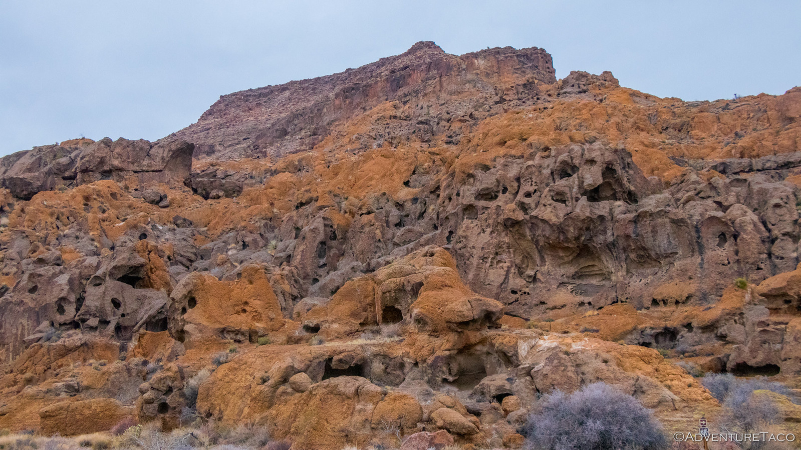
Unfortunately, just as we arrived and set out on a hike around this amazing rock outcropping in order to see the petroglyphs inscribed on the far side, it started to rain. Hard. We high-tailed it back to the truck.
We drove through the rain for 45-minutes - first retracing our steps to Mojave Road, and then taking another spur - Death Valley Mine Road - north towards Cima and the Death Valley Mine.
We arrived in the dark - around 5:15pm or so - and knew that we'd have the place to ourselves for the evening, the rain likely deterring any other unlikely adventurers in this remote place. The rain still coming down and the wind picking up, we decided it'd be best to hang out in the truck for a bit - hopefully the cell would pass and allow us to get camp setup without getting too wet.
So we hung out reading our books, discussing the day's events, and planning our attack for the next morning. Though it was supposed to rain into the night, the weather report suggested that it could stop around 4:00am - maybe early enough to dry everything off if there was a bit of a breeze!

An hour later the rain let up and we popped out as planned. While I setup the tent, @mrs.turbodb put the finishing touches on our dinner sandwiches which we carefully ate - along with chips and dessert - in the truck (a special treat given it's status as a no-food zone).
And from there we decided there was no reason to hang out in the cold any longer - we climbed up into the tent and under the covers, the rain starting to pitter-patter on the rain fly once again. It'd been a long day, but a fun one - we'd seen so much and yet knew already that this was a place we'd be back to explore more.
And hey, we hadn't even gotten our first look at the western half of the trail - it was anyone's guess what was in store for us there the next day...


















This is another little trip I'd like to make some day. Any chance you can fix the broken photos in this report?
It's a fun one - we're headed back down again in the not-too-distant-future, I hope.
Photos should all work; a Ctrl+F5 to refresh the page will likely show them for you. If not, let me know where in the text they are not showing, and I'll dig deeper (b/c I see them all).
I just check in IE, FF, and Chrome and it looks like our work firewall is blocking the #8 flickr server. Gotta love work firewalls