
After hiking 24 miles through Shangri-la Canyon - a few more miles of Grand Gulch than a sane person should in a day - cool temperatures made for one of the best night's sleep we've had in a long time. And, even waking up an hour before sunrise to "do it all over again, only in Water Canyon," we were well-rested, having fallen asleep just after 8:00pm, and only a few minutes after climbing up our ladder.

All ready to go, no shadows yet playing across the land.
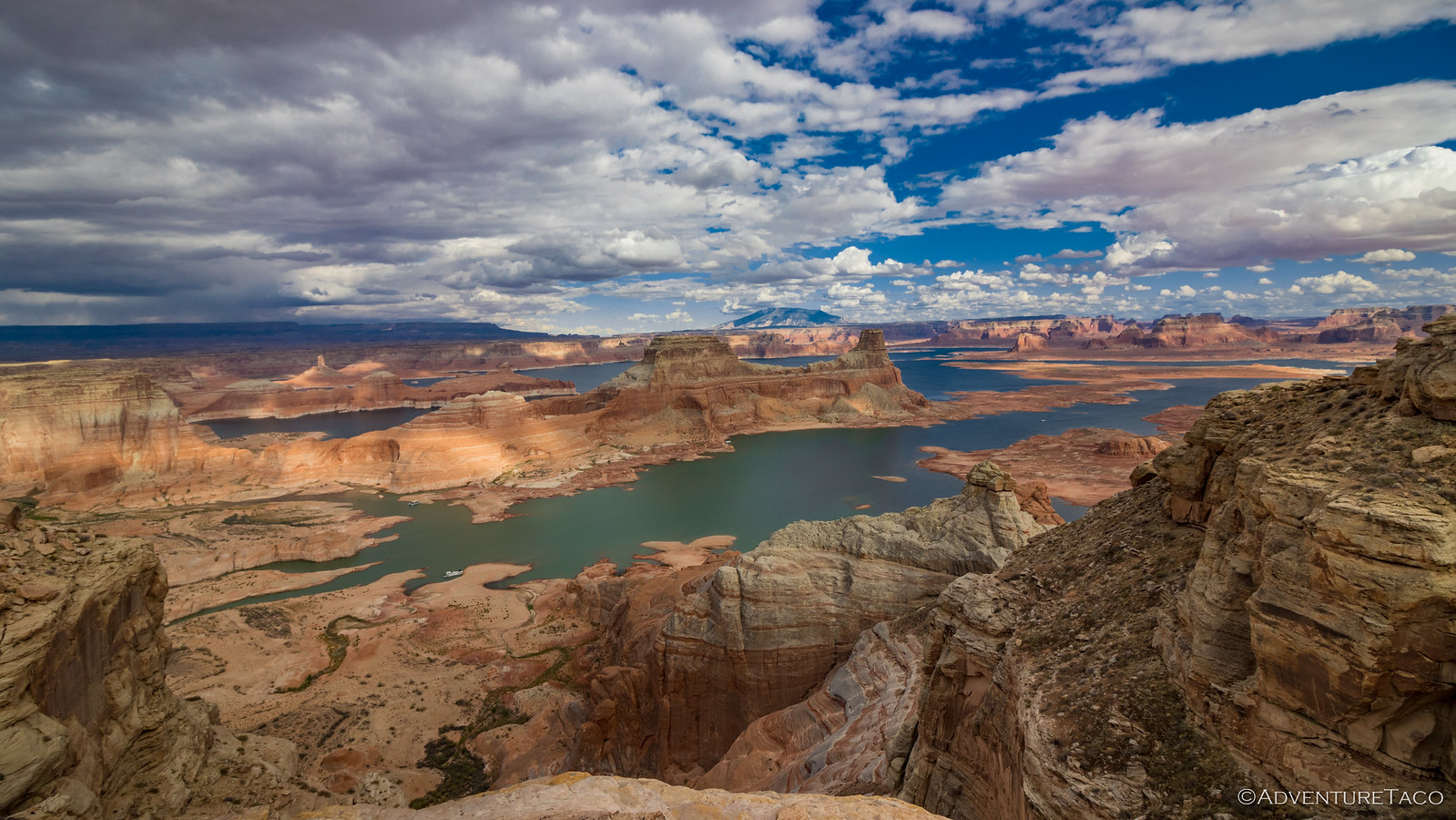
Visiting Grand Gulch for a day hike requires a pass, and camping below the rim requires an overnight permit. Both are inexpensive and help to fund our public lands. They need our support more than ever.
For more information, check out BLM Utah Cedar Mesa Permits and Passes Information.
From the little I'd been able to find about Water Canyon, it seemed as though today's hike would be easier than the near marathon we'd wrapped up during the Earth's previous rotation. Part of this was due to the fact that there was no 3-mile slog across open tundra before even reaching the spillover into the head of the canyon, but mostly it was due to the rather pedestrian description offered by our guidebook:
From [the] parking place, walk west to the north side of the main drainage of [the Middle Fork of Water Canyon]; there's a dry fall part way down that [main drainage], so look for a way into a little north branch below a Little Butte. Once in, it's easy going past a wall collapse (WC), then maybe a little bushwhacking in a boulder field below that.
That seemed easy enough, and so we set out from the trailhead confident that we'd once again be wandering our way into Grand Gulch, well before lunchtime.

Pastel landscape.
It didn't take us long to realize that the unassuming description for the entrance to the Middle Fork of Water Canyon left a lot to be desired. Firstly, there was no "obvious" main drainage for the Middle Fork. Rather, there seemed to be about a dozen ways into a dozen different drainages. Secondly, trying to find a "Little Butte" in a land that is - essentially - comprised of many thousands of "little buttes" is laughable, especially when those looking - like us - aren't already familiar with the landmark in question.
And so, hoping we choose the correct "north branch," we followed a drainage into some part of Water Canyon.

Just as we descended below the white sandstone rim, the sun lit up the Clay Hills mesas in the distance.
Naturally, we'd chosen the wrong drainage. We wouldn't fully realize our mistake until a half mile or so of congratulating ourselves on our navigation skills. As we found ourselves looking over "a dry fall part way down that [main drainage]," we knew that the little butte we'd found was obviously not the one we were supposed to find.
With no other choice - and already an hour into our day - we retraced our steps and headed further north, hoping that something would catch our eye. Luckily, 30 minutes later, something did.

If you're hiking the Middle Fork of Water Canyon, this is the 'Little Butte' you are looking for.
Hoping we'd found the butte, we worked our way down the slickrock and into the canyon, noting the spillover that had cliffed us out earlier. This time, it turned out, we'd done it!

Sandstone channel.

I thought this little real-life-bonzai juniper growing in the wash was so cute.
The first mile of Water Canyon was spectacular. Working our way between towering sandstone walls, we followed the curvature of the drainage as we scampered down sandstone falls and hopped across glassy pools of water, reflecting the blue sky above. Things were looking great as we kept our eyes out for the wall collapse - surely a fun bit of scrambling!

Easy going.

Water-stained wall.

The tafoni here - as it'd been in Shangri-la - was delightfully delicate.

The wall collapse - smaller than we'd envisioned - was easy to bypass and didn't offer much in the way of bouldering interest.

Wandering and wondering what is around the gentle bend.
It turns out that we'd been lulled into a false sense of serenity. Likely the result of the reasonable-easy hike once we'd found our way into Shangri-la, and the similarly straight-forwardness of the upper mile of Water Canyon's Middle Fork, we were caught completely off-guard as we ran into the "boulder field" that would be "maybe a little bushwacking," in order to reach Grand Gulch.
Instead of "maybe a little bushwacking," I think it would be safest to describe the lower two miles of Water Canyon as "torturous trail finding." Here, it was clear that millenia of erosion had peeled many layers of sandstone off of the canyon walls, depositing them in an "I'll clean up those Legos later," jumble on the canyon floor.
What wasn't covered in house-sized boulders was overgrown - to the point of impenetrability - with willow.
Though I'd think it had something to do with the steepness of the descent or distance between the canyon walls, I don't actually know what causes these stretches of canyon to be completely choked with obstacles while other - seemingly similar - parts are free and clear. Whatever the reason, it sure would be nice if someone would go in and clean it all up before we get there, next time. 
And so, after wasting time trying to find our way in, we were unable to make any of that time up - in fact, quite the opposite - as we worked our way to Grand Gulch. Our pace - as we picked our way along faint trails through rocks along the northern wall of the canyon - wasn't more than a single mile per hour. Our "easier" hike was turning into anything but.

Impenetrable maze.
Eventually - and fully realizing that every step down-canyon would result in a similarly difficult route back - we made to the confluence of the middle and south forks of Water Canyon. Relieved, we embarked on a short detour to find "a kiva, the signature Billings, Feb. 22, 1894, and some suspicious-looking, perhaps paleface-made rock art." (Kelsey)

I suppose that this might have once passed for a kiva, but with so many better examples in the Grand Gulch, this was rather underwhelming.

I thought these two spiral petroglyphs were quite nice, and they seemed authentic to me.


Beginning of a bowling lane. (left) | Various men. (top right) | Waves over an arch. (bottom right)
Though we looked for quite a while - making several passes along the section of sandstone where we expected to find it, we never found Billings' signature from 1894. I felt a little better about that after looking around online after our return; I could only find a single photo - so there probably aren't many who have found it, and the signature itself is very faint.

Billings, Feb. 22, 1894 (photo WJP2015)

Ahh, there's that pale-faced pecking we were looking for! Not a bad job, really.
Now just before 11:00am, we pushed our way through the last of the undergrowth in Water Canyon as we worked our way to Grand Gulch. It was later than we'd hoped to reach this spot, and we had a decision to make: head south to Shaw Arch - to cover the ground between it and Water Canyon that I'd not covered the previous afternoon - or north to the Red, White, and Blue Panel, which I'd really been looking forward to seeing; we didn't have time - or the legs - for both.

Water Canyon wall.
As much as I'd have liked to push south to Shaw Arch, such an endeavor would have been entirely to claim coverage of the short stretch of Grand Gulch I'd not covered the day before. While that's something I'll probably try to accomplish in the future - especially given that I missed some of the rock art at the arch - we had no desire to cover 9 additional miles "just to say we'd done it," after our struggle - and impending struggle - just to get through Water Canyon.
And so, our decision was made - head to one of the premier rock art sites in the gulch, for lunch!

The reflected light was fantastic as we headed up the much-easier-going trail in Grand Gulch.
Not sure where exactly where we'd find the panel - or even which side of the drainage it would be on - our heads swiveled back and forth as we worked our way up the canyon. As small side trails forked off the main route, one of us would follow them to ensure that we weren't missing anything.
And then - in a large alcove high on the canyon wall - I spotted it! Immediately, the question shifted from, "will we find it?" to "will we find the way up?" Others have - so surely we would - and with a little sleuthing, @mrs.turbodb noticed a foot trail that could only have existed for one purpose. We headed that direction.


Collin, a Common Side-Blotched Lizard (Uta stansburiana), was kind enough to let us know we were headed the right way, "as long as we didn't eat him."
As we worked our way along the trail, I noticed a pile of stacked rocks a quarter mile away. Chuckling, I pointed at them and suggested to my hiking companion that, "there must be something else over there, maybe we'll have to check that out after lunch."
I'm sure you can see where this was going. A few minutes later the trail we were on made it obvious that those were our rocks, something @mrs.turbodb had known as soon as I'd cockily pointed them out, but was too polite to correct.

Up we go! Surely Ancestral Puebloans had a more graceful route than the brute force of the modern, more "advanced," human.
Like a kid let off their leash upon entering a candy store, I was immediately off to see the rock art. Meanwhile, @mrs.turbodb found a nice spot to lay down, resting her feet after the torture they'd endured on the way down Water Canyon, and waited patiently to dig into the turkey sandwiches she'd prepared before we left.

All in a line.

Coyote.

Red, ...

White, ...

... and Blue.


Birds of the Red, White, and Blue Panel.
The Red, White, and Blue Panel - also known as the Grand Gallery - is an amazing panel for both the size and quantity of pictographs and petroglyphs it contains. This must have been a special place - somewhere to hang out in the shade - for those who came before us. The longer I looked at the panel, the more amazing images I discovered. Only knowing that we had a long trek back to the truck pulled me away from the wall and to lunch on the floor of the alcove.

Two dudes and their atatls.


Long neck jazz hands. (left) | Hi there! (right)

Sheep parade.

Lone figure.
As I made my way over to the lunch spot, I noticed a small, unnatural-looking recess in the floor. It wasn't too deep - perhaps a few feet at most - and peering inside, I noticed a singular corn cob. Only after I hopped down did I notice that two of the walls were made of stone and mortar - a small granary, perhaps?


Small wall. (left) | Ancient candy bar. (right)
Lunch never tasted better. Pepper turkey sandwiches, Nacho Cheese Dorritos, and the first water I'd had all day - no one's fault but my own - were music to my body as we enjoyed the view from our alcove, the shape of the canyon perfect for some sort of lunch-time-show to unfold below us.

Lower Grand Gulch lunch view.
Unfortunately, we didn't have time for a show. In fact, both of us were a little worried about our return trip. Not because there was a risk we wouldn't be able to make it - there was nothing technically difficult - but because we needed to be on the road back to Las Vegas by evening, in order to make our way-too-early-flight-home the following morning (if you can even call 3:00am morning).
That's right - after a full day of hiking, we had an I-know-your're-envious 9-hour drive through the night to look forward to!

Graceful bend in the canyon.

The easy part, in soft reflected light.
Ultimately, the experience we'd gained on our way down Water Canyon made the return trip up significantly easier. We no longer had to wonder if we were on the correct path, or whether we should be trying to bushwack our way through the bottom of the wash. There were footprints - our own - to follow. What had taken us four hours in the morning took us just two in the afternoon.

As we neared the top of the north branch of the Middle Fork of Water Canyon, we could see the "Little Butte" standing not-tall-enough-to-be-easily-noticeable above the rim.
It was just before 4:00pm when we reached the Tacoma at the trailhead. While our day had - technically - been shorter in both time and distance than the day before, we were in absolute agreement that it had been much harder. Water Canyon had kicked our butts, and there was no doubt in either of our minds that a few hours on those butts while the Tacoma whisked us across Utah would be quite pleasurable.
After two days, we'd only just begun to scratch the surface of Grand Gulch, but there was no doubt in our minds that we'd be back. Even so, we had no idea how soon that would be, nor that it would include a third hiker and overnight gear for Her First Backpack!

As we sped west through Navajo Nation, Agathla Peak was looking spectacular as the sun fell toward the horizon.
The Whole Story


Beautiful photos again, Dan and great story. You could write a beautiful book with all your stories.
Thanks Larry! I wish there was some good way to do a book with not too much effort on my side, and low cost for anyone who wanted to purchase it. Maybe one day, I'll be able to get AI to put something together (that actually makes sense) from the trip reports!
Really amazing images of the picto and petroglyphs...hope I can get down to that area in the future.
Hopefully you got a shot of the juniper without the lens cap...very cool
We're off tomorrow to the South Fork of the Boise river for the first trip of the year. I have a spectacular spot in mind!
Love to hear that you're getting out for the first trip of the year! I always look forward to bringing the Tacoma home from Vegas so I can get my "first trip" of the year in the PNW. This year I'm hoping that will be to the Owyhees in May!
I'm way overdue but the truck is loaded, the fridge is packed and outside of loading some firewood and clothes, we are ready.
We will be doing a couple Owyhee trips in May - Birch Creek on the 1st through the 4th and Three Forks on the 22nd -25th.
Another wonderful adventure, photos, and narration! Makes me miss the long hikes I took when I was much younger. Thanks for sharing.
Thanks John. The longest in a long time is coming up here. We'll be shooting for about half of Grand Gulch in a single go. Backpacking!
I love all your treks into the "unknown". At 82 you make it so easy for me to travel now, thanks for taking me along.
Always happy to have you along Lorna, glad you're enjoying it!
You found where the Karate kid replanted the bonzai tree. Great photos and trip report!!
lol, I thought exactly the same thing when I saw the tree, Bill! Glad you enjoyed, as always! 👍