
Despite dozing off easily, our second night on the trail wasn't as great as the first. With all the dusty, dry conditions, I woke up in the middle of the night with a bloody nose, and our proximity to water resulted in a few mosquito bites - on the face - for @mini.turbodb.
Still, we were all in reasonably good spirits when @mrs.turbodb's alarm went off, and soon, she and I were packing stuffing our backpacks - having informed the kiddo that she could stay warm in her bag - in preparation for the short walk to refill our water containers with crystal clear water from the Green House Spring.
Visiting Grand Gulch for a day hike requires a pass, and camping below the rim requires an overnight permit. Both are inexpensive and help to fund our public lands. They need our support more than ever.
For more information, check out BLM Utah Cedar Mesa Permits and Passes Information.
Half an hour later we'd collected the child and were busy devouring our Quest Crispy Cookies and Creme protein bars - ultimately our favorite variant - just as the sun crested the horizon. The cool morning air was the perfect way to start the morning, and soon we were into a familiar routine.

Framed granary.

Sticks and mud.

We spotted this anthropomorph on the canyon wall through the trees.
When we'd left the Kane Gulch Ranger Station - and as we'd checked the weather before we'd arrived - we were informed that there was a 30% chance of rain this afternoon. Though 30% wasn't high, the possibility of a cool cloud cover and a few minutes of refreshment seemed like a great thing to us, so we were excited to see clouds in the sky as we continued along our way.

In addition to moderating the temperatures, the gray clouds added a nice bit of drama to the surroundings without completely muting the colors.

The bright green Cottonwoods were plentiful and made an already cheery morning even better.
In addition to our let's-take-advantage-of-cooler-morning-temps start, we also took a few minutes - before we really got going and as @mini.turbodb downed her first Snickers bar of the day - to set an approximate target spot on the trail. Reaching this goal would help to ensure we weren't falling behind in our quest to exit Kane Gulch with enough time to catch our flight home.

We were shooting for 6.5 miles - plus side trips in search of rock art and ruins - on day 3.
Our goal set, we pushed on. The going here was significantly easier than it had been during the first two days - largely because there were trails along the bank of the wash instead of trudging through the sandy bottom as we'd been forced to do between Government Trail and Green House Canyon - and we made good time as we pushed toward the mouth of Bullet Canyon. Above us, the clouds we'd welcomed just an hour earlier for the shade they provided gave way to what could only be deemed perfect weather.

Our earlier hopes of a refreshing afternoon shower were dashed as the clouds gave way to brilliant blue skies.
As we reached Bullet Canyon, @mrs.turbodb and I did our best to bore the child - to death if you listen to her tell it - with our incessant parental blabbering about how this place was our introduction to Grand Gulch - when we'd day-hiked a 17-mile loop hike through Bullet and Shieks Canyon - several years earlier.
"Cool," she replied. "Do you think if we stop talking and keep walking, we can finish today?"

If you're not picky about sleeping on slickrock, there's a great camp site at the bottom of Bullet Canyon.
Her comment was all in good fun - she was having a good time, even if she would never admit such a thing openly to her parents - we snacked on some trail mix as our shoulders enjoyed a few packless minutes in the shade of the Bullet Canyon campsite. Then, knowing that there were a few cool ruins up ahead, we loaded up and moved out.
Before long, Wall Ruin clung to the cliff above us, and it was time for a little climbing.
When visiting rock art and ruin sites, be respectful.
This is most easily done by following the Leave No Trace principles; leaving the place exactly as you found it and taking with you only photographs and memories. In case that is not clear enough for some reason, here are examples of respectful behaviors:

By the time you climb to Wall Ruin, it's hard to photograph, so the best photos are from banks of the wash below.

A cool little ruin hidden behind a large slab of sandstone.
Reaching the lower level of Wall Ruin is a bit of a scramble, but the upper levels require a 25-foot climb up a narrow crack between a slab of sandstone and the canyon wall where it was once attached. It's not overly difficult, but it keeps the riff-raff out.

The doorway on this ruin reminds me of the Horse Collar Ruins in Natural Bridges National Monument.

White pictographs along the same ledge.
The sun now out in full force, temperatures began to rise as the orange rock absorbed - and then radiated - the heat in our direction. It was getting on 11:00am, and we'd been going for a little more than three hours; it was time to keep an eye out for a spot to eat lunch.

Even with the heavy pack @mini.turbodb had no problem keeping up with - or ahead of - her ancient adults.

A mostly-clear pothole of water, and some shade provided by the Cottonwoods here at the mouth of Sheiks Canyon was a perfect place for a noon-time lunch.
Sandwiches, Snickers bars, and the ever-prized slices of mandarin orange - along with plenty of water - were on the menu once again, and once again they hit the spot. Then - while @mrs.turbodb rested in the shade for a few minutes - the kiddo and I broke out the First Need XL Elite water filter to replenish that which we'd consumed since leaving the Green House. While perhaps not entirely necessary, it allowed us to feel better about ending up "anywhere" later in the evening, knowing that we'd have plenty of water to hold us over until at least lunch the following day.

This thing was great, producing water just as good as the fantastic water we drink at home. 100% worth the extra size and weight compared to other filters.

Recharged and back on the trail.

Balanced rock.

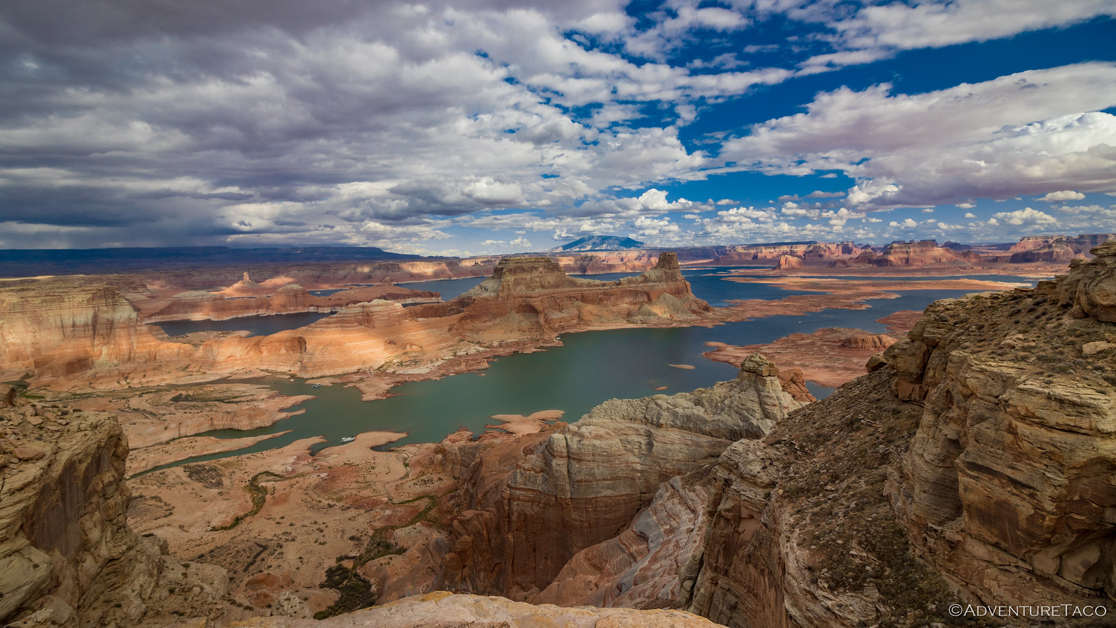
The grandest of gulch views.
Shortly after lunch, we passed the mouth of Sheiks Canyon - marking the end of the short section of Grand Gulch we were familiar with - and a large, abandoned bend in the wash seemed like the perfect place for some ruins and rock art to hang out unassumingly on the sandstone wall. The only real problem here was that there was a bit of a climb - with no guaranteed payoff - so I shed my pack, grabbed my camera, and voiced - perhaps with a bit of hope - my intention to be back in 20 minutes.
Little did I know that I'd discover my favorite pictograph panel of the trip in that short time!

I couldn't get too close - I was perhaps 100 feet away due to the terrain - but this Ghostly Heads Panel was unusual and a great find!

A little granary high on the cliff was inaccessible.

These petroglyphs - with a dancing sheep and long timeline - were fun to puzzle over for a bit.

The clouds we certainly cooperating today!
Only a few minutes after my initial estimate, I returned with a big grin on my face and soon we were back on the trail as we circumnavigated the Thumb Pour Over. This was the only spot - over our entire five-day journey - where we'd lose the trail twice in close succession, in ways that were not immediately recoverable by returning to the wash. It was no big deal - beyond adding an extra half-mile to our day's total - but worth mentioning due to its irregularity. Soon enough though, we were back on the scent, our detour not entirely in vain as we'd spotted a just-out-of-reach ruin as we'd retraced our steps back to the main trail.

Now why would they call this thing a Thumb? 

We were cliffed out on our first attempt at reaching this little granary.
Hoping for redemption, we regrouped in the wash before deciding to split up - again - so I could bash my way through some bushes in order to make a second attempt on the elusive ruin. It would once again be a great decision, as I'd ultimately stumble on my second favorite pictograph panel and discover that the small granary we'd seen was only one of several!

Three granary convention.

A well-used mano in its mortero.

I loved the drama of The Watchman surrounded by hands. An unexpected surprise!

Twin i's. Lower-case, obviously.


A few other glyphs of The Watchman Panel. A peacock? (left) | With a heart? (top right) | I don't recall ever seeing a mud rainbow before. (bottom right)

I couldn't help snapping a second shot of this unusual guy as I departed the site.

There wasn't much left of this tiny ruin that I spotted as I headed back to meet up with my hiking partners on the main trail.
It turned out that I'd covered more ground than any of us had expected as I'd explored the sandstone wall that confined us to this meandering gash in the Earth's surface, so as I regained the trail along the bank of the wash, I whistled our family call - which was quickly returned by both women - and waited for them to catch up.

Not far behind.

Afternoon light.
A little after 4:00pm when we joined forces again, we were thrilled - though none of us more-so than @mini.turbodb - to find that we were less than half a mile from the target location we'd designated at the beginning of the day! This lit a fire under her feet like little else could and soon we were pushing toward the finish line, albeit an arbitrary one.
The push lasted about 500 feet, at which point I predictably declared that there was a ruin and a few pictographs we needed to check out. By this point, @mini.turbodb had mentioned in passing that she liked named sites "better," so seeing that the ruins were nestled into several nooks at varying levels in the alcove, I quickly named it Eight-Level Ruin.
Eight levels. That got her attention. It ended up being her favorite ruin of the trip!

Several of the structures appeared to be platforms on which ladders once stood, allowing access to the higher levels of the ruin.

Learning an important angle for dramatic ruin photography.

Looks like a couple habitations were demolished in favor of new construction.


Rock art of Eight-Level Ruin.
Owl. (left) | Inverse hand. (top right) | Spear hunter. (bottom right)

There was a nice collection of potsherds here as well.
After poking around at Eight-Level for a while, it was high time to start looking for a bit of level slickrock to call home for the night. Unfortunately, after a good amount of searching - by both @mrs.turbodb and me - nothing - or at least nothing easily attainable with heavy packs strapped to our backs - presented itself. Luckily though, @mrs.turbodb found a reasonably flat grassy spot that would reduce the amount of dusty sand around camp, and ready to get off our feet, we decided it was worth a shot.
What it didn't have were any good places to setup the JetBoil stove, so before setting up for the night, we boiled water for our Peak Refuel packets on a large boulder in the wash. Tonight we were each going out on our own, with a trio of entrees. @mrs.turbodb would be eating Butternut Dal Bhat, the kiddo was sampling the Beef Pasta Marinara, and I was giving the Venison Country Casserole a shot.
They all hit the spot, but only the Butternut Dal Bhat was a favorite as compared to the Sweet Pork & Rice and Chicken Pesto Pasta.

Dinner view.
When all you do is boil water, cleanup after dinner is trivial, and soon the trash and stove were stowed in our packs as we climbed the nearby bank to the grassy area that would allow our feet, shoulders, and hips to recover from the incessant torture we'd inflicted over the last 72 hours. Tonight though, we had a bit more work to do before crawling into our bags: with grassy terrain closer to the wash came a higher risk of mosquitoes, so it was time to break out the tent and give it a go.

We're supposed to fit three people in *that*?!
Soon enough we were brushing our teeth and - to the best of our ability - trying to clean off our feet. To our surprise - and though we were all ready for a shower - the third day of our trip had been the most fun (and easiest) yet!

Better hang up the food tonight, it looks like Racoon Jr. might be in the area. This print was tiny - only about an inch wide!
We had no idea as we dozed off to sleep - smushed together like sardines in a mosquito net - but those showers would come sooner than we expected. We were way ahead of schedule!
The Whole Story


Highly cool family adventure, and great photos, as always.
I would have assumed the birds were wild turkeys.
Thanks!
I suppose the birds could be anything, but I've always heard "ducks" as the duck was a revered figure. I first heard of that when I was Roaming Below Cedar Point a couple years ago.
Bravo!! Thanks for sharing these wonderful images and words! Tom McC, McQueeney, Texas
Glad you're enjoying Tom! I have to admit, I've spent several hours on your site the last few days (after your last comment), and I am thoroughly impressed! You've visited some amazing places and taken some fantastic photos. Hope to figure out where some of them are, and see some of what you've seen, eventually! 👍
Thanks Turbodb for those kind words. If you need help locating any of the sites you are interested in visiting, I will be happy to help you out, if I can. Hope you, and those you love, enjoy a great Summer! Warmest Regards and Best Hopes, Tom McC
Impressive, jumping into backpacking and tackling this. Hats off to you three. Appreciate your sharing the photos of these great ruins and the pictographs.
I don't know if "impressive" is the right word, but I'll take it (it certainly has a better connotation than "crazy," lol).
Backpacking definitely won't be our main mode of transport from here on out, but I think we all found out that it should be in our arsenal for those places that are a little more remote!
I love going on your treks with you. Gets me out in the sunshine and I see terrific ruins. Thanks to you. Oh, turning 83 this month.
You are welcome along any time Lorna! I love it when the stories and photos are enjoyed, and it always puts a smile on my face to hear when that's the case! Hope I'm still loving this stuff at 83! 👍
Dan, thanks so much for posting this. I (we, I was with the mother of my kids) did partly the reverse of your outing 35 years ago, with our daughter. Except she was 3 months old at the time and my backpack was the baby carrier. Still, we made it down Kane to the intersection with Grand Gulch, spent the night. That was enough, reversed course the next day.
I am finally back on my feet after a long recovery, my new wife and I have plans to visit the Colorado Plateau this Fall, and now I have a must-see spot added to the itinerary. Won't be enough time to follow your route but we will be dipping into it.
All the best!
Hey Lars, great to hear you're back on your feet; recoveries are tough, but hopefully the downtime just makes ya appreciate the up time that much more! (Not that either of us is ever in search of down time, lol!)
Kane was beautiful, so cool to hear you were able to do that, even with a kiddo in the pack! A single night in that situation is probably the right limit. Man, I remember @mini.turbodb when she was young... there was a lot more to carry than just her! 😉