
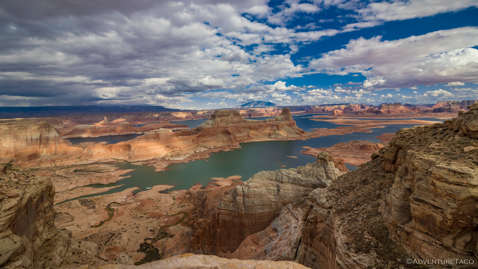
The pitter patter of rain continued on and off throughout the night as we slept along the edge of a mesa overlooking Capitol Reef and the Henry Mountains. We'd found this spot - a wide area that was once an old mining road clinging to the rocky slopes - the previous afternoon, but after a long day of driving, we hadn't investigated the road at all.
Perched on the eastern edge of the site - as opposed to being nestled into the trees - sun hit my tent as soon as it crested the horizon. Knowing that I'd still have at least half an hour before the rest of my buddies were up and about, I pulled on my clothes and set off down the washed-out trail, wondering just how far it would take me.

The warm glow of morning quickly erased all evidence of the rain that'd passed through overnight.

I wasn't the only one who'd come this way. Apparently, the BLM was keeping loose tabs on this area.
After half a mile, I'd made it a little more than halfway down the side of the mesa when I came to a few boards. Arranged in a pattern that suggested this was once some sort of platform or deck, closer inspection revealed a portal - now mostly-collapsed - in the sandstone cliff as well.

What makes a prospector think, "I'll dig here."?
At this point - having not seen any large waste rock piles, or spilled ore on my trek down the old road - I still had no idea what this prospector was after. Given the area, I figured that Uranium was the most likely candidate, and since I have no idea how to identify little bits of Uranium - not that I'd be racing to pick them up should I find any - I supposed that the mineralization would remain a mystery until I returned home to look up the location online.
But then, I found something that caught me completely off guard.

What have we here?!
The more I looked around, the more malachite I discovered. Most of it was a drab green - but there was a bit of brightly colored material, similar to what we've found elsewhere - and there was no doubt that copper was, at least to an extent, part of what this guy was after!
It turns out that this was the site of a series of old claims under the name "Midas No. 4." Originally oh the hunt for Uranium, the prospects were worked in the 1960s - 70s, many yielding copper as well!
Pocketing a few pieces to show the guys, I headed back to camp.
By the time I got back, breakfast was in full swing. And, by full swing, I mean that Ben @m3bassman and Maria may have eaten something they'd prepped in the van, Zane @Speedytech7 was sipping on coffee, Monte @Blackdawg was downing a couple of Costco cupcakes, and Mike @Digiratus was the only one eating food - a few hard-boiled eggs - under the watchful eye of Pebbles, our self-designated royal supervisor for the duration of this trip.

"Pretty sure that as royalty, I should give that a try." -Pebbles
As with every morning, putting away camp was an unrushed affair, and like clockwork we got underway two minutes before 10:00am, retracing the same path we'd taken to camp the previous afternoon, through a patchwork of BLM, pasture, and National Park lands.

Looks like another glorious day.

Soon enough we were back on the Burr Trail - pavement at this point - and headed west.

The Redhead (Mike) under a sandstone gunsight.
I've only travelled the Burr Trail once before - back in 2018 as part of the F.U. Rain trip where we'd worked our way along the North Rim of the Grand Canyon and Lake Powell, before jumping up to Bears Ears and Capitol Reef - but I always remembered the towering walls of Long Canyon, the sandstone seeming to glow with reflected light.
And, apparently, I wasn't the only one for whom this was a memorable spot. Mike - who I'm sure has been several times - called out over the radio, "This is what I think of when I hear Burr Trail." A couple miles back, I couldn't have agreed more, and soon I was out of the truck as reached the saddle that would dive down into the canyon. I could already tell it'd be that I'd be making slow progress for the next hour or two.

Let the magic begin.

Turns out, I wasn't the only one stopping frequently along the way. I caught up to Monte at one particularly photogenic turn.

Nearly twin trucks.

This is what I think of when I think of the Burr Trail.
When we'd been along the Burr in 2018, we'd stopped for a few photos, but we'd never really gotten out to wander around. This time - perhaps because we've begun to slow down as we've matured - I was surprised to find Ben, Mike, and Zane, returning from a short hiked into Singing Canyon when Monte and I finally rolled up.
"You guys should totally check that out," Ben smiled as he climbed into the van to continue on his way, a suggestion that met no resistance from the two of us always willing to stop for something cool along the way!
Known variously as Singing Canyon, Long Canyon Slot or Burr Trail Slot, the easily accessible mouth is only 50-feet from the road, and forms the entrance to a narrow, 700-foot-long passageway. At the end, an unclimbable - without gear - dryfall snakes several hundred feet up into the Wingate sandstone, a dramatic view for most and a mecca for climbers.
This is a popular place, and with good reason. The combination of high walls and a Cottonwood entrance make entering the slot a magical experience, and with Monte's musical acumen, it quickly became clear how - and why - Singing Canyon got its name.

A grand entrance, the soft, filtered light of the Cottonwoods adding a reverence to the cathedral of sand.

Acoustic dream.

Into the chamber.
We entered the canyon a few minutes behind a German couple, and after obliging them in taking a few photos - which they dutifully showed us how, exactly, to take by pressing the on-screen button on their iPhones - we had the whole place to ourselves. Ben was right, we were glad we'd checked it out!

Best seat in the house.
If I had to venture a guess, I'd bet that Monte and I spent significantly longer in Singing Canyon than our compatriots, but that didn't seem to light any sort of fire under our skinny pedals as we worked our way through the remainder of Long Canyon, and to the eastern end of the Burr Trail climbs toward Boulder, UT.
We knew we'd find the rest of the crew at a gas station in town, probably chatting about how slow we were!

A parting shot.
After fueling up in Boulder - which, as is often the case, also included ice cream for Monte - we climbed back into the trucks and set out in search of somewhere to eat lunch. Given that it was almost noon, I figured we'd find something quickly, but as we climbed out of boulder, we quickly gained elevation - through 7-, 8-, and eventually 9,606 feet - and snow began to fall as we crested Boulder Mountain Pass.
It was a little chilly for lunch.

Searching for warmer temps, we descended the north side of the pass toward Lower Bowns Reservoir.
Lower Bowns Reservoir was just what the doctor ordered as far as a perfect spot for lunch was concerned. At least, it was once we got away from the horsefly-sized mosquitoes on the edge of the lake! Soon, Monte had his canopy out and we engaged campfire mode as we enjoyed the views of cool blue water and the distant Henry Mountains.

Seriously, what sort of mutant mosquitoes were these things?
As usual, part of our lunch conversation turned to what the remainder of our day would entail. We didn't want to get to camp too late, but we also wanted to make it far enough that we'd be able to explore re-enter Capitol Reef National Park in order to explore Cathedral Valley the next day. Plus, Ben - or Monte, I'm not exactly sure which - had added a track through Pleasant Creek and South Draw that the Park had labeled as "Extreme Offroad," and that had us curious, to say the least!

On our way to "extreme."

Back into the park.
A sign - posted alongside the road at the park boundary - was our first hint that something might be amiss. It's not that we've never seen a ROAD CLOSED sign before, but this one was a little concerning. Apparently there was roadwork - to repair a series of washouts - underway between our current location and UT-24, rendering the highway that'd shuttle us to Cathedral Valley inaccessible unless we turned around and retraced most of the ground we'd run from Boulder.
We'd planned our next couple of days of adventure under the assumption that we could get through this road, and washouts wouldn't generally be a problem for us; heavy equipment blocking the road though, that would be another story.
We decided to push on.

"If this is all we have to worry about, I think we'll be OK." -Mike

Traffic jam on the way to Laurel and Hardy Arch.

Further away than we expected.
The true entrance to South Draw Road was marked by several warning signs - all working hard to keep Honda Civic's from attempting such a treacherous route - only increasing our desire to see what this place was all about.

This was as far as the van would go.
Unfortunately - or perhaps just the opposite - the initial climb onto the trail was a bit of a gatekeeper for Ben, Maria, and the van. Steep, off camber and full of ledges and potholes, I can only imagine how uncomfortable it would be in the top-heavy beast, and it didn't take long for Ben to realize the same thing. Backing down the hill, he piped up over the radio that he and Maria would find a nice spot for a nap, and wait for the rest of us to return after we ran into the roadblock.
It sounded like as good a plan as any - though with a little more thought, we might have realized its fatal flaw - and we bid him farewell as the Tacomas ate up the terrain with no trouble at all.

Ultimately, the trail was a little technical in spots - and it was good that Ben stayed behind - but mostly, it was full of beautiful scenery.

Pleasant Creek drive.
It was only as a startled-sounding-Monte called out "oncoming," followed by a rather surprised, "stock 5th gen 4Runner," over the radio that we realized we'd made a mistake with Ben. If there was a stock vehicle approaching from the opposite direction, we weren't going to have any trouble making it the rest of the way to UT-24. But, making it through to the highway wouldn't do us any good if our buddy was stuck at the trailhead, unable to follow us even if we sent someone back to retrieve him.
There was another problem, too - with my truck - but we didn't realize it at the time.

Unexpected, and pretty much the end of the road for this 4Runner, given what we'd just been through.
Climbing out of the trucks, we brainstormed a few solutions. The easiest of them - radioing back to Ben and telling him to drive around and meet us at the other end - was quickly tried, unsuccessfully. We talked about sending one person back - to relay the message and caravan around - either the way we'd come or once we reached the highway. And then, I remembered that both Ben and I had Garmin inReach Mini Satellite Communicators.
This should - in theory - allow me to send him a message, so I looked up the phone number that he'd used to send me a message from his inReach a couple days earlier and fired off some snarky note that we'd made it through and needed him to meet us in a nearby town.
Almost immediately, I got a reply: "Message could not be delivered. Use the Garmin @ID of the person you'd like to message"
I quickly realized the problem: with an inReach, the device sends the message to a satellite, and then Garmin relays that message to the designated text (SMS) recipient using a "random" Garmin-owned phone number as the sender. They then allow the designated recipient to text back, but only from the number that originally received the inReach message, so I couldn't text Ben from my inReach, I had to text him from the phone he'd texted me at originally.
In a stroke of luck, it turned out that I'd just purchased an iPhone 16, and one of the features it comes with is the ability to send text messages via satellite when there's no cell service available. I'd never used - or even set up - that functionality, and had a hard time believing that it would be free, but I turned it on and after turning in the direction that the phone told me would offer the best reception, I fired off the same snarky note with a request for confirmation.
And then we waited.

Twiddling our thumbs while we wondered if this would work.
Just as we were about to give up and go back for Ben, I got a reply! Not only had he received the message, but he also proposed a better location to regroup. It was a miracle! Perhaps not one worth the entire price of a new iPhone, but pretty darn cool.
Soon, we were all on our respective way.

Climbing out of Pleasant Creek.

Layers of rock.

Approaching Capitol Gorge.
Ten minutes later - and surely well before Ben was very far on his way - we'd reached pavement at Capitol Gorge. Sure that we had at least an hour or two before we'd all be a single group again, we decided to check out the serpentine road, expecting a significantly-more crowded version of what we'd experienced in Horse Canyon the previous day.
We were pretty much spot on, with a few cool bits of rock art from the settlers who once travelled this area on their way west.

B.T. Platt. 1887.
Julia N. Butt

A more modern - but still circa 1890 - pictograph.

HB Owens Jr. | June 14, 1882

Capitol Gorge light.
An hour after entering Capitol Gorge, we were back on pavement and on our way out. Not knowing exactly where Ben was at this point, Mike had shot ahead, so it was only Monte and Zane who were lucky enough to hear me when I transmitted, "Guys, I think I've got a problem," as we picked up speed on the blacktop.

First things first. Gotta capture the scenery, even when there's something wrong with the truck!

Yeah, bucktooth Tacoma has an alignment problem.
Somehow, I'd royally screwed up my alignment over the course of the last few hours. We had no idea what the root cause was at this point - a bent spindle, loose alignment cams, shot control arm bushings - but we knew we'd need to figure it out before I drove home, because as it was, I'd gone only a few miles and I'd easily worn about $50 worth of rubber off the front two tires!
For now, though, we had a rendezvous and camp site that needed our attention, so as my tires squealed away under the truck, I listed to dollar bills wearing off as we worked our way toward Cainville.

The late afternoon sun made for a scenic race toward our rendezvous.

I wonder why they call these "The Gray Ones." 
From Cainville it was only a few miles - thankfully all on dirt - before we found a nice spot to call home for the night. Perched on the edge of a shallow drainage, we had fantastic views of our surroundings and plenty of room to spread out on the slickrock.
Naturally, none of that was top of mind for me. Instead, I looked for a flat spot so we could set about diagnosing the front end of my Tacoma. And by "we," I mean Monte and Zane, who are the two most knowledgeable dudes I know when it comes to Tacomas. What I know, I've largely learned with their help, and I'm always lucky that they continue to teach.

The double hi-lift maneuver.

Inspecting their work.
I wasn't completely useless. Within minutes, I had the skid plate off allowing Zane to inspect the alignment cams that secure the lower control arms to the frame. His suspcion was that either the cams had come loose or that the bushings surrounding them were destroyed. The former would be an easy fix, while the later might mean a new set of tires once I got home.

Music to my ears - the driver rear alignment cam turned out to be loose!
After an in-the-field adjustment of the cam, we got the alignment to a place where I wouldn't be losing quite so much rubber on the road, and Monte snugged everything down with enough torque that there was no concern they might loosen again. "I feel sorry for the guys at Firestone who have to loosen that for an alignment next time." he chuckled.
And then, it was time to relax.

The erosion on the distant mesas was dramatic in the evening light.

Bardie (Ben's) looking all puppy-eyed.
Everyone else had already picked out their spots for the night, so after finding a flat spot - that seemed to be positioned upwind of the campfire, but was actually perfectly in the path less than an hour later - I quickly got myself situated so I could join them around the fire.

Home.
It was our second-to-last campfire of the trip, and for that reason we chatted late into the night. Dinners were made - eventually - with the help of headlamps, new moon making for a voluminous number of stars in the sky.

Monte grilled up a steak and some veggies.

Keeping with the theme, Mike had a couple of steak burritos for dinner.
Of the things we discussed throughout the evening, the most important was breakfast for the following morning. It'd be our traditional group affair with a twist: breakfast sausage, tortillas, and some spicy green chillis would supplement our usual bacon, eggs, and potatoes. These things would be consumed in such quantity that for many, it was likely to be the only meal of the day!
One thing is for sure as we parted ways for the night - we were all looking forward to our feast!
The Whole Story


Beautiful country and inspiring narration, thanks again!
Thanks John, glad you enjoyed!
Wow!! I think you got the R5 clicking cause this was a great trip report. Longing to be heading that direction but will do with your scenes here. Safe travels!!
Thanks Bill. The R5 is doing great. Wishing I had a longer lens on a few of these trips, but as always, the glass is even more spendy than the bodies! One day, I'm sure!
Loved the trip, I think the Gray Ones should be called Elephant Skins. Even looked like the texture. What gorgeous scenery you get to travel thru.
Oooo, I like that! It was neat driving through an entirely different landscape after the "usual" red rock that we experienced most of the day. It's so rare that there's little saturation to Utah sights!
Beautiful area, wonderful narration. Definitely going to go back through this when I'm ready to take my Taco on a long trip out West from the Carolinas.
Thanks Daniel! Enjoy it when you get out there; there's plenty nearby to explore as well (San Rafael Swell, etc.)