
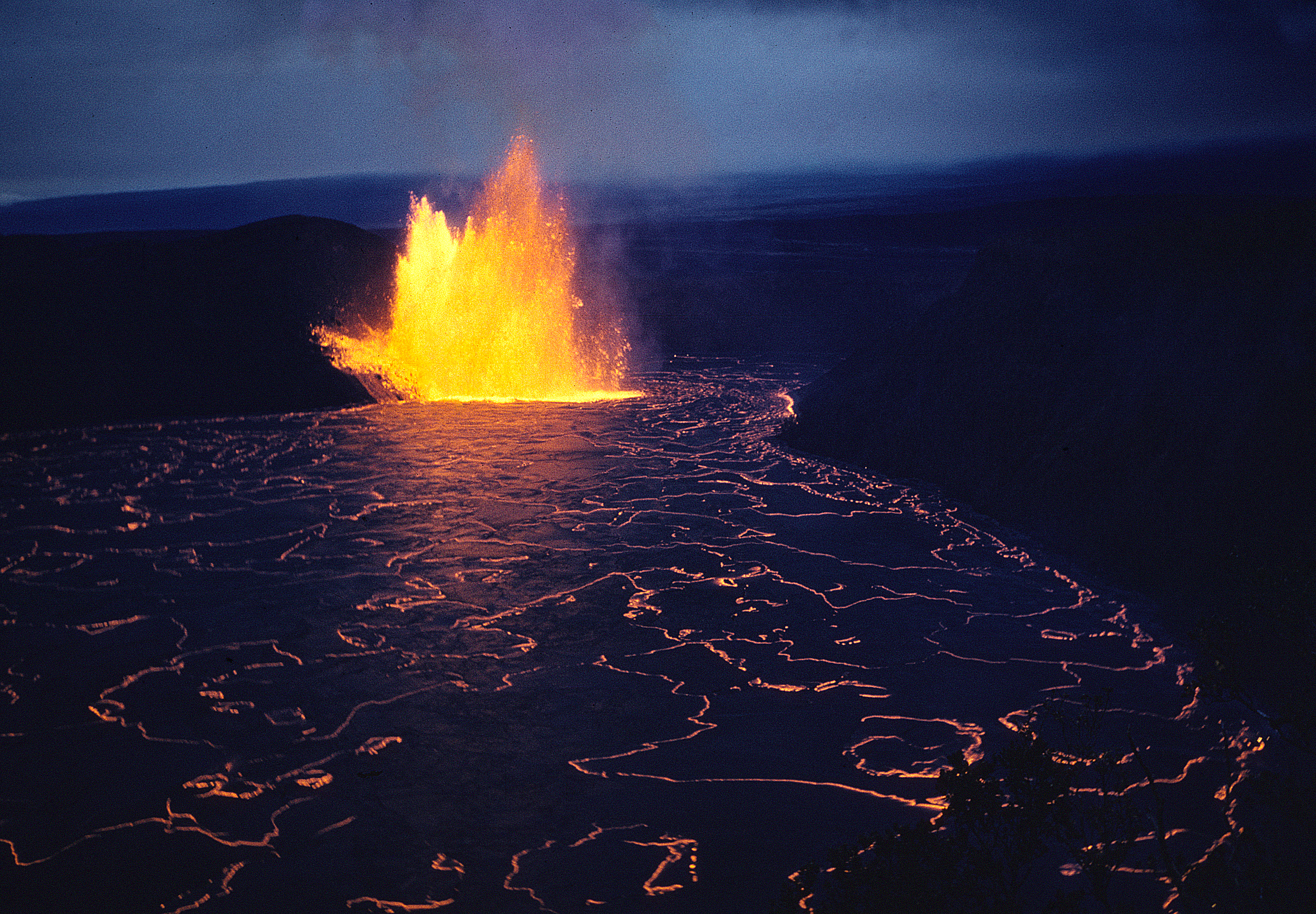
Whereas @mrs.turbodb was most looking forward to being in the ocean while we were in the tropics, I was most looking forward to seeing an active volcano. Actually, I suppose I was conceptually interested in that, but I hadn't fully thought through two key elements: (1) where to go to see said active volcano and (2) whether there was actually an active volcano.
Turns out, (1) is a problem when the answer to (2) is "there isn't one."

Still, even if we couldn't see some fiery hot lava blasting into the night sky, or cascading into the ocean, or creeping dramatically over a highway, going to Volcanoes National Park was still a fun experience. Except for the NPS parking attendants - they were assholes.

(Relax internet, we have - and I always recommend because the National Park Service needs all the funding they can get - an America the Beautiful pass.)
Nahuku (Thurston Lava Tube)
Our first stop was at Nahuku. Even with a copyright date of 2009, our trusty guide book suggested that this was a place we'd want to experience early in the day, since "every tour bus stops here." As such, we made it our first stop - arriving just before the interior lights turned on at 8:00am - but still nowhere near the first ones to be waiting outside the entrance when they finally did.

Nāhuku - one of many such tubes on the island - was created by a river of molten lava. When a lava tube is active, lava travels along its floor at temperatures that exceed 2,000° F (1090° C). When the supply of lava stops at the end of an eruption, or if it gets diverted elsewhere, it leaves behind an empty cave.
When this lava tube was discovered in 1913, the roof of the tube was covered with lava drippings. Unfortunately, those soon disappeared due to souvenir collectors. Help protect this incredible resource by not touching the walls or delicate tree root systems hanging down. Use only your eyes to experience the lava tube.


Mauna Ulu Lava Field
We made a quick stop in the Mauna Ulu Lava Field on our way to the Pu'uloa Petroglyphs.
In 1969, eruptions from Kilauea's East Rift began building a new lava shield that now rises above its surroundings. It was named Mauna Ulu (Growing Mountain). By the time the flow stopped in 1974, it had covered 10,000 acres of parkland, added 200 new coastal acres, and grown to 2680ft. It also buried a 12-mile section of Chain of Craters Road in lava.


Pu'uloa Petroglyphs
Puʻuloa, translated as the "long hill" or "hill-(of)-long-(life)" from Hawaiian, is a place considered sacred to the people of Hawai`i, and those of Kalapana in particular.
Located in the ahupuaʻa (an ancient Hawaiian land division) of Pānau Nui on the southern flank of Kīlauea volcano, Puʻuloa is the name of the site which contains a vast area covered with incredible numbers of pecked images in the hardened lava, images known as petroglyphs. The archaeological site of Puʻuloa contains over 23,000 petroglyph images; motifs containing cupules or holes (84% of the total), motifs of circles, other geometric as well as cryptic designs, human representations known as anthropomorphs, canoe sails, and even feathered cape motifs.
In geologic terms, the center of Puʻuloa consists of a volcanic pressure dome with outlying areas of ancient, relatively level fields of pāhoehoe lava bedrock (pāhoehoe, being one of the two types of lava found in Hawai`i, a rather smooth surfaced substrate), dated geologically between 1200-1450 AD.


By far, the most common glyph here - more than 16,000 of them in this one site - were puka, a hole created to house a child's piko (umbilical cord stump). Families have and continue to come here - to Pu'uloa (the hill of long life) - with the hope that the mana (spiritual guiding energy) of Pu'uloa will bless their children with long and prosperous lives, rooted in their ancestral land.


Hōlei Pali (Sea Arch)
Sea arches can be found along a wide swath of the southern coastline of Hawai’i. They are remnants of once-continuous sea cliffs, where lava has previously run into the sea and added to the size of the island.
The moment that new lava cooled and turned to rock, however, it began to erode. Immediately, the pulverizing powers of wind and water began to pound and fracture the cliffs. The seas on the southern edge of Hawai’i are known for being rough and having a violent surf. Ever so slowly, these eroding waves break apart and wear away the rock, sculpting sea caves into the cliff.
As the waves pound into these new sea caves, the water hits the back wall of the cave and refracts. The force of the water bouncing off the back of then begins to erode the cave’s headland, over time, forming a sea arch.
However, the forces of erosion don’t stop once this beautiful sculpture is created. Given enough time, the force of the waves will cause the remaining bridge to collapse, leaving behind a pile of rocks known as a sea stack.
Though they may appear mighty and permanent, individual sea arches are an ephemeral feature of the island’s constantly shifting coastline.


Kilauea Iki
Making our way back into the heart of the park, it was nearly noon and - though it was the middle of the week - the place was busy! This wouldn't have been a problem, except that park employees were stationed at every parking area, directing traffic to "the next lot, only a few minutes further down the road." The problem was that every employee declared their lot was full - though empty spaces could be easily found - and were unwilling to let anyone else enter. Not only did this result in more cars on the road, but with no ability to use a "full" parking area to turn around, the Chain of Craters Road became a river of vehicles with nowhere to go.
It was amazing how quickly traffic cleared up at 3:00pm when the parking attendants called it a day!

Kīlauea Iki crater may look tranquil these days. But in 1959, this now 400-foot (120 m) crater held a seething lava lake that spewed fountains of molten lava thousands of feet into the air. Considered by some to be the most spectacular eruption event of the 20th century, Kīlauea Iki provided a unique opportunity for geologists to study the plumbing system of the Kīlauea volcano.
When the lava lake grew higher than the vent, fountains stopped erupting. Molten lava drained back into the vent, dragging pieces of the lake’s crust with it.
This dark "bathtub ring" can still be seen on the crater walls today. Lava often poured back into the vent four times faster than it was erupted, generating a noisy whirlpool of red-hot, liquid lava and black slabs of solid rock. These continuous drainback events and the natural convection currents of the lava formed the crater floor that visitors can walk over today.


Kilauea Caldera
Like the geniuses we are, we gave up the parking spot we had at Kilauea Iki, in the hopes that we'd find a spot near the shaded picnic tables at the visitor center to eat lunch. In case it wasn't obvious, this was not a genius move - parking attendants at the visitor center are the most senior assholes - and we spent more than 30 minutes circling before finally giving up and following the rest of the hoards west along Chain of Craters Road.
There - to our surprise and after several failed attempts - we were able to find a small side lot with only a few parking spaces that were inexplicably empty. As a bonus, a shaded picnic table was only steps away, and we enjoyed some of the Dungeness Crab that we'd picked up at Costco a few days earlier.
Then, we headed toward the edge of the Kilauea Caldera to take a look, a bit bummed understanding - from the park web site - that there was no active eruption.

Clearly, we have no idea what "active eruption" means, because there was smoke and stuff rising up from the caldera.


Ha‘akulamanu (Sulphur Banks)
We went to the Ha‘akulamanu (Sulphur Banks) only because our guidebook promised, "rocks crusted in shades of chartreuse, brick, and other J Crew colors." This was a gross exaggeration, and I'm confident in saying that skipping this little hike - should you ever visit the park - in favor of picking your nose would be a good use of your time.
Seriously. If you're looking for mineralized hillsides, visit Death Valley. If you're looking for mineralized vents, go to Thermopolis.


Maunaiki and Footprints Area
When I was reading through the park web site a few hours before our visit, the description of the Maunaiki and Footprints Area caught my attention:
The Kaʻū Desert is a harsh landscape where volcanic eruptions and ashfall from events in Halemaʻumau crater have created a desolate, moon-like environment.
In 1790, a dramatic explosion occurred at the summit of Kīlauea. The eruption involved a torrent of hot gas, ash, and sand that rained down on the Kaʻū Desert. Caught in the middle of this deadly, suffocating storm were groups of Native Hawaiians travelling through the region on long-used trails. In the newly fallen layer of ash, these groups left behind footprints that we can still see today— a reminder that Hawaiians have borne witness to the geological drama of this island for centuries.
A shelter protecting these footprints - and the story of the Footprints Area - is accessible via an easy walk about .8 miles (1.3 km) from the Kaʻū Desert Trailhead.
Human footprints in ash? That sounds unique! Yes, please! When figuring out where to go in our single day at the park, I'd added it to my list of things to see in the #2 position (of 7), but given its location - away from everything else and on our way out of the park - we'd saved it for the end of our day. "One of the best for last," as it were.


With only three-quarters-of-a-mile long between us and the hut that covered the footprints, we covered ground quickly, passing a ranger just as we arrived. Turns out that the trail beyond the footprints had been closed - until he removed the trail closed sign - due to increased volcanic activity. Or at least an increased concern of a possible increase in the risk of increased activity. Maybe. But not.
Anyway, upon our arrival at the hut, it turned out that there were no footprints; it was all a hoax. There, we found a cast replica of some footprints, and an information board informing us that more than 3,000 footprints had been found in the 4,284 acre ash field around us, but there were no actual footprints to see.

We headed back to the car to share an even-half-is-more-than-you-should-eat-at-one-time chocolate chocolate chip muffin cake, and with full bellies pointed the Kia north and towards our lanai.
I've poked at NPS parking attendants throughout this story. I want to stress my distaste at these attendants, but also share my never-ending admiration for most NPS employees that I interact with. Without fail, I've had only enjoyable experiences with every Park Ranger, Geologist, and Historian that I've run into, and I'm thrilled to now call several of them friends.
The parking attendants - while wearning NPS garb - were likely an entirely different type of employee. One with a single, very boring job. A job that may only last a few weeks, or months, during a busy season that coincided with winter on the mainland.
Surely they could still do better, but it's important to realize that they are not representative of the NPS as a whole.
The Whole Story


Regarding Parkie parking attendants, never forget that "vicious" rhymes with "officious", and that jerks with little authority often become, or are trained to become, martinets. When I started working for the NPS I was told that "Parks are for Rangers". Useful to remember.
Very much appreciate the photos and narration, the only way I'll ever see places like Hawaii, thank again for sharing so much. As for NPS/NFS Rangers, I've always found them helpful, friendly, and great people who enjoy having conversations with visitors (except the current crop of obnoxious visitors we seem to run into everywhere). The part time attendants are another matter. They seem to be mostly young people looking for a paying job that requires them to be nothing but speed bumps, when not working they are likely the mentioned obnoxious visitors, LOL. They have no authority but want people to think they do! Thanks again for sharing to this arm chair traveler!
Do you think they are any similarities in the petroglyphs here and back in the mainland? An ocean divided these people, but sure looks like close to the same. And they did do these in rock too!
There are most definitely similarities in the rock art. While the majority of the anthropomorphs were in a more "stylized" style, there was one we found (which I noted in the story) that had a more triangular frame - not unlike the frame that we've seen in Utah.
And, the proliferation geometric shapes seemed like a clear similarity. Spirals - a symbol that seems to exist in every culture throughout time - were everywhere. Geometric dot patterns - which in this case were for umbilical cords, not the case on the mainland - still provided similar appearance to those of us exploring in the present day.
One thing that was interesting here was how soft the lava actually was. We - I hope obviously - didn't do any chipping near the existing rock art, but we did wonder at the proliferation of holes and how hard they were to make, so later - as we were in a random lava flow, we grabbed a chunk of lava and within a minute or so, we had a golf ball-sized hole. So making these puka holes was time consuming, but not hard.