The clear Wyoming skies meant that it was a very cold night. Everything covered in frost - including our pillows and sleeping bags where we'd been breathing on them as we cozied down for warmth - even Monte @Blackdawg came out of his tent in the morning, glad for the warmer temps that the sun beamed down on camp and started to melt the frost away.


As we all warmed up in the sun, we set about our usual morning routines - intermixed of course with chatter about what was on tap for the day, and what amazing things we hoped to see along the way. Breakfast for me was a chilly bowl of Cheerios, for Mike @Digiratus a couple cups of coffee, and for Steve @woodnick and Monte - more bacon and eggs. It was also Steve's last morning in camp, so he graciously handed over the extra eggs and lunch meat he'd brought along - we'd have more use for it in the next couple weeks than he would!

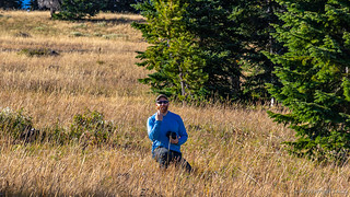
It took an hour or so, but everything eventually dried out and we all started to warm up - enough that I was back in the shorts and t-shirt that I'd been wearing the previous day. By 10:00am or so, we found ourselves pulling out of camp - still four trucks, but not for long!

Somehow ending up in the lead, I enjoyed five minutes of dust-free travel as we sped along FS-80, right at the Wyoming-Colorado border. This was where Steve was set to peel off from the rest of the group to head home - leaving Mike, Monte, and me to continue west - weaving our way along the state line for much of the day before finally committing to a southern route in the state we'd planned the trip around.


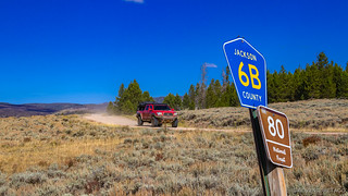
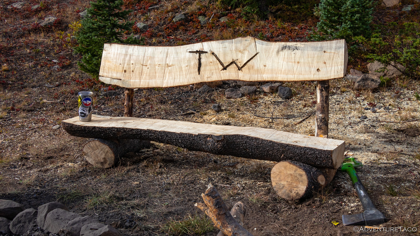
Hugs and handshakes all around - except Monte, who was the recipient of a minute long embrace - Steve bid us safe travels and headed east as we shuffled our truck order and took off on our planned route. Our first order of business for the morning was to search for a special "camp bench" that Brett @Squeaky Penguin had built at what we could only assume was a special camp site along one of the roads we planned to drive. Unsure exactly where it was, the first half hour or so was along a nicely graded gravel road, before we turned off onto a trail signed as "MOST DIFFICULT." At least, I think that's what it said - because all I can remember is "TURN HERE FOR FUN."


Of course, as is often the case, this most difficult trail was perhaps slightly over classified. Sure, there were a few tight turns, but nothing here really taxed our trucks or skills in any way that could be considered noteworthy. All that meant, really, was that - as we would our way through the woods, up and over ridge lines, and along re-routes that had been created before us - we could enjoy ourselves out here in the middle of nowhere as we searched for a bench. A bench that ultimately alluded us.
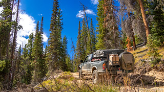

To this point, we'd been lucky in that all of the road clearing had been taken care of by earlier travelers along these routes over the course of the summer. But as we headed down a section of FS-499, Monte came over the radio to let us know that there was an obstacle in the road, and my chainsaw services would be required.

That was just fine with me - so you can imagine my reaction when I approached to see Monte digging around in the back of his truck for his axe! I was having none of that - this was my time to have a bit of fun, and I calmly informed him that he was crazy when we had a chainsaw right here.  A bit of back-and-forth banter about how it might only take a few minutes longer with the axe, and I reminded him that we could get some nice campfire rounds with the chainsaw should we choose to go that route.
Checkmate. I won, and we got to work as a team - me cutting up the tree and Monte throwing the rounds into the beds of the trucks. It was a symphony of motion which lasted all of about 10 minutes before the tree was cleared and we were ready to get on our way again.

Underway again, we continued on our generally westerly course, looping up toward Hog Park Reservoir where we found a beautiful little spot to have lunch. We - or at least I - had no idea at the time that we'd been through Colorado in order to get here, but it didn't matter because we were once again in Wyoming as we assembled our ham and turkey sandwiches and kicked back at the lake's edge, the long grass billowing in the breeze.

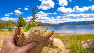


A well-placed picnic table.
Our bellies full, we were back on the road an hour or so after stopping and we once again made good time, the Forest Service roads in this part of the country in splendid shape - our aired down tires absorbing the few bumps here and there, our rides plush as the miles ticked away. Our lunch spot the northern apex of our route for the day, it was less than 30 minutes before we passed a Medicine Bow - Routt National Forest sign, welcoming us to Colorado. Though we'd been in-state earlier, this was the first - and last - sign we'd see about the border, the rest of our trip squarely to the south.

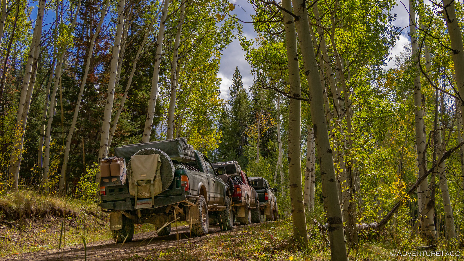
It was at about this point that several statements were made over the radio that the area through which we were travelling was going to be a brilliant display of color...in about two weeks, just as our trip was ending. See, we were travelling through a forest comprised of equal parts evergreen and Aspen - the vast majority of the Aspen leaves still green for a few more days before turning various shades of yellow and orange.


Knowing what it could have been - having experienced these glorious displays of color last year near the Grand Canyon - Monte remarked that there was a "Taunting amount of color from the Aspen." And I noted that perhaps by the end of our two-week excursion, we might be smack in the middle of a ton of color. Not that it kept us from taking photos this time! 
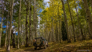

Too soon, we were through this distracting area - luckily it wouldn't be our last - and making our way up and around what we hoped would be another cool peak to add to our list of places we'd driven to the top of: Hahn's Peak. Visible at the top, an old lookout - no longer staffed - called to us to visit, and we made our way around the base of the mountain as we looked for a way up.

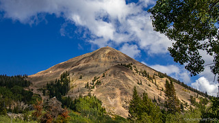

Unfortunately, several cards were stacked against our ascent to the top. First, the road we thought most promising was closed off with no trespassing signs. This seemed a little strange, given that we were both in a National Forest, and that we were in Colorado my understanding is that roads to public lands must be kept open. Second, while it wasn't late yet, we had a long way to go to our rendezvous with Brett later that evening. And most importantly, Mike - having left from a different location than the rest of us - was almost out of fuel! As such, we decided that a trip to the top wasn't in the cards for the day, and we plowed ahead towards Steamboat Springs.
Except - not really. While Steamboat was essentially due south, our route had us heading east a good 25 miles or so, because well, dirt roads and things to see. Did I mention that Mike was nearly out of fuel? That Redhead is a thirsty girl.
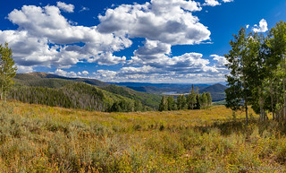
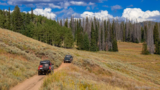
As we made our way through the hills, an old cabin caught our attention. Not enough for Monte and Mike to deviate from our track, but being the last in line, I took the opportunity to go check it out. The Hard Scrabble Mining Claim, it was in reasonably good shape, and looked to be a place that someone still visited - at least every now and then - to either do a bit of digging, or at least enjoy the beautiful surroundings.


I didn't dally at the cabin per-se, but it still took me a few minutes to catch back up with the other guys - their use of the skinny pedal undaunted by something so insignificant as a red truck's fuel gauge. That said, we did the responsible thing and skirted the edge of Farewell Mountain, opting not to take the short side trip to the top - even though Brett would later inform us that we "missed the best view in the area!" 
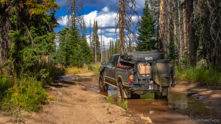


Eventually we found ourselves overlooking the adjacent valley and we had a decision to make: should we camp at a spot we'd found here on the east side of Farewell Mountain, or should we continue down into the valley - hopefully to find something that would be a bit warmer than what we were sure to experience on a clear night at 10,200 ft? Smarter men may have decided that a bird in the hand is worth two in the bush, but there were no such men among us. So, after some hemming and hawing, and exploring of the site, we decided to continue on.
Well, we decided to wait for the light to be just right on Little Agnes Mountain and Big Agnes Mountain across the valley so we could take some photos, and then we continued on. Mostly. I mean, there may have been some photo shenanigans as well. 

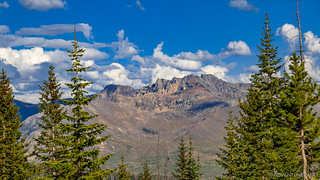

Our cameras satisfied for about three minutes, and Mike trying his hardest not to say what he'd deemed the "C" word (as in, "Guys, we need to get to camp.") for this trip, we started down into the valley. And I'm not kidding - it really was on the order of three minutes or so - based on my photo time stamps - before we stopped again because... well, the light was just right on the Agnes Mountains again. And I mean, it was better, so it's a good thing we stopped.


It was also in this area that I made a discovery - one that most will probably find completely uninteresting and/or irrelevant, but that I know @mrs.turbodb will appreciate - and that's good enough for me to get a bit loquacious in the story. Along the side of the road, in the shade of what I recall being some sort of fir trees, I noticed what looked to be small huckleberry plants. And when I say small, I mean the entire mature plant was perhaps the size of a golf ball. This time of year, the leaves were all changing from green to red, and yet they were all loaded up with the tiniest huckleberries you've ever seen.
Elf-sized huckleberries. For the kittens of baby elves. Here are 9 of the berries. Go ahead, count them.

Well, no bear was going to fill up on those puppies, but I gave them a try and they tasted just as good as any huckleberry I've ever eaten, so I picked another dozen or so before heading off down the hill - once again, the slow poke trailing behind the rest of the crowd.
We reached the valley an hour or so later - the time now getting on evening, the sun due to set in 30 minutes or so. And we had a problem. We'd figured that since we'd seen almost no one between Hahn's Peak and Farewell Mountain, the valley would be similarly unpopulated and we'd have no trouble finding a spot to camp. This couldn't have been further from the truth! Every site in the valley was full - big 'ole campers, UTVs, and even Subarus tucked into every little nook and cranny - their license plates indicating that most of them were from out of state. Hunters, most likely.
Hrm. Would this be the first night we got to camp after dark? We pushed on, starting up the far side of the valley, hoping for the best.
Scrounging, we stumbled upon an open area above one of the switchbacks at the base of Little Agnes Mountain that looked like it would probably work just fine. It was a little exposed, and closer to a busy road than I think we would have liked, but there was no one there, and being above the road helped with the privacy a little bit, so just as the sun was setting, we positioned our trucks to settle in for the night.


Then, as if via a sixth sense, Monte looked over at Mike and I and said, "You hear that? Sounds like a 1st gen V6. I bet it's Brett." And sure enough, about 3 minutes later, bombing up down the road from the side of the valley we were in the process of climbing came Brett's truck. He'd not expected to meet up with us until the next day, but he'd gotten off work early and raced headlong in our direction. "How'd you find us?" we asked as he pulled into camp - since we'd been there only a couple minutes and not given him any idea where we'd be camping.
"I used APRS." he informed us. Not with any maps mind you, just with distances between his position and ours. You know, like APRS marco-pollo. 
Well, this was a great surprise to all of us, and a great opportunity for Mike, Brett and I to finally meet. As the sun continued to set in the east, Brett immediately endeared himself to me by suggesting that we definitely needed more firewood for whatever camp fire we were going to have. As in an entire tree more he proclaimed, pulling his chainsaw out of the back of his truck. Now, this was my kind of camping - no more literal burning of money, we could just make use of one of the thousands of dead trees around us, the result of pine beetles that have run rampant in the western United States. No more tiny fires trying to conserve wood - Brett's preference to cut enough that not only would we have a multi-hour bonfire, but we'd also leave a nice pile for the next people to find this spot.
Perfect.
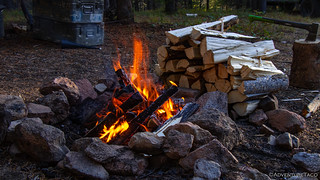
So, we got to cutting and splitting and lighting of the fire - and then had several great hours of conversation around the largest, warmest fire I've ever experienced on one of these trips. Mike broke out another batch of guacamole, and though Monte and I warned Brett that he better get some while there still was some, I think he probably only got one chip full this first night. We stayed up until midnight, everyone with plenty to talk about - questions about rigs, discussion of the plans for the next day, and of course plenty of banter and laughing to go around. As if there was any question, we all knew that this was going to be a great trip through Colorado - even better than what we'd seen so far as we made our way south.
And boy, were we right! The excitement we'd experience the next few days was going to be epic.
