July 31, 2017.
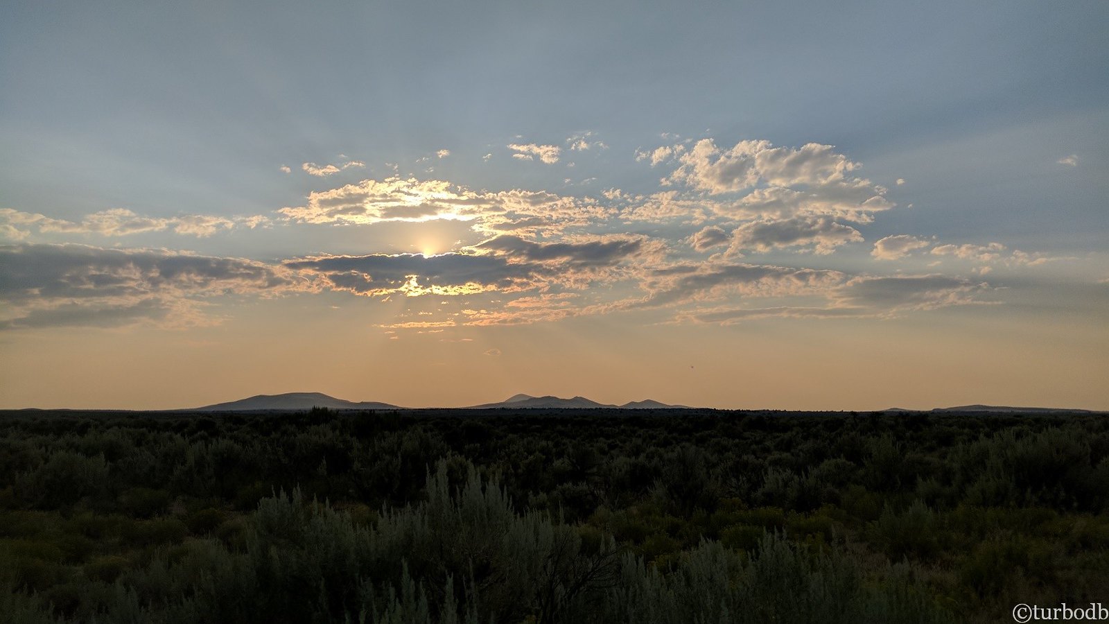
The wind having woken us up a few times throughout the night, we were up at sunrise above Summer Lake.
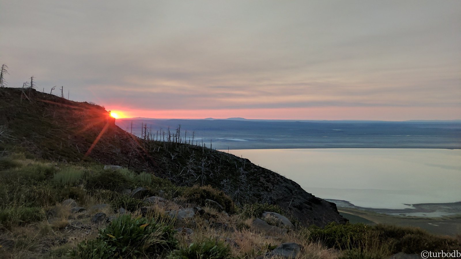
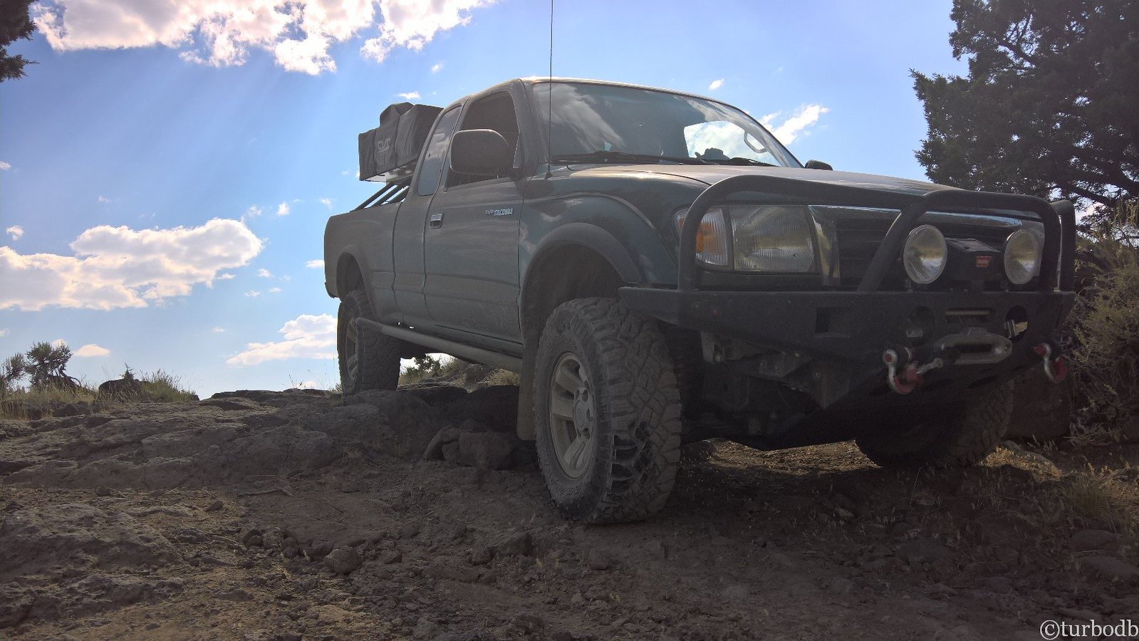
The smoke was still light as we rolled out of bed and made breakfast - just cereal and blueberries this morning - and packed up camp for an early start - our goal was to make it from Summer Lake to Riley by 7pm. After a few final pictures, we were on our way.
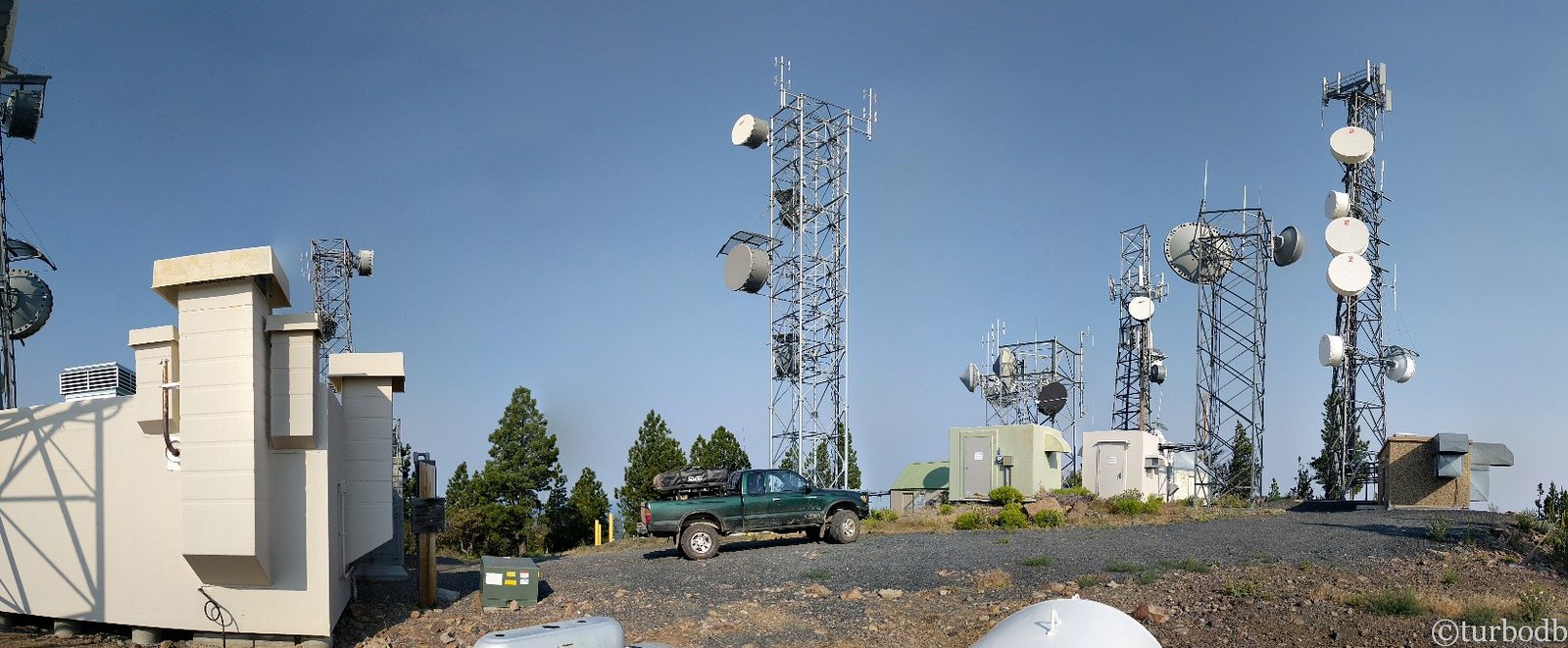
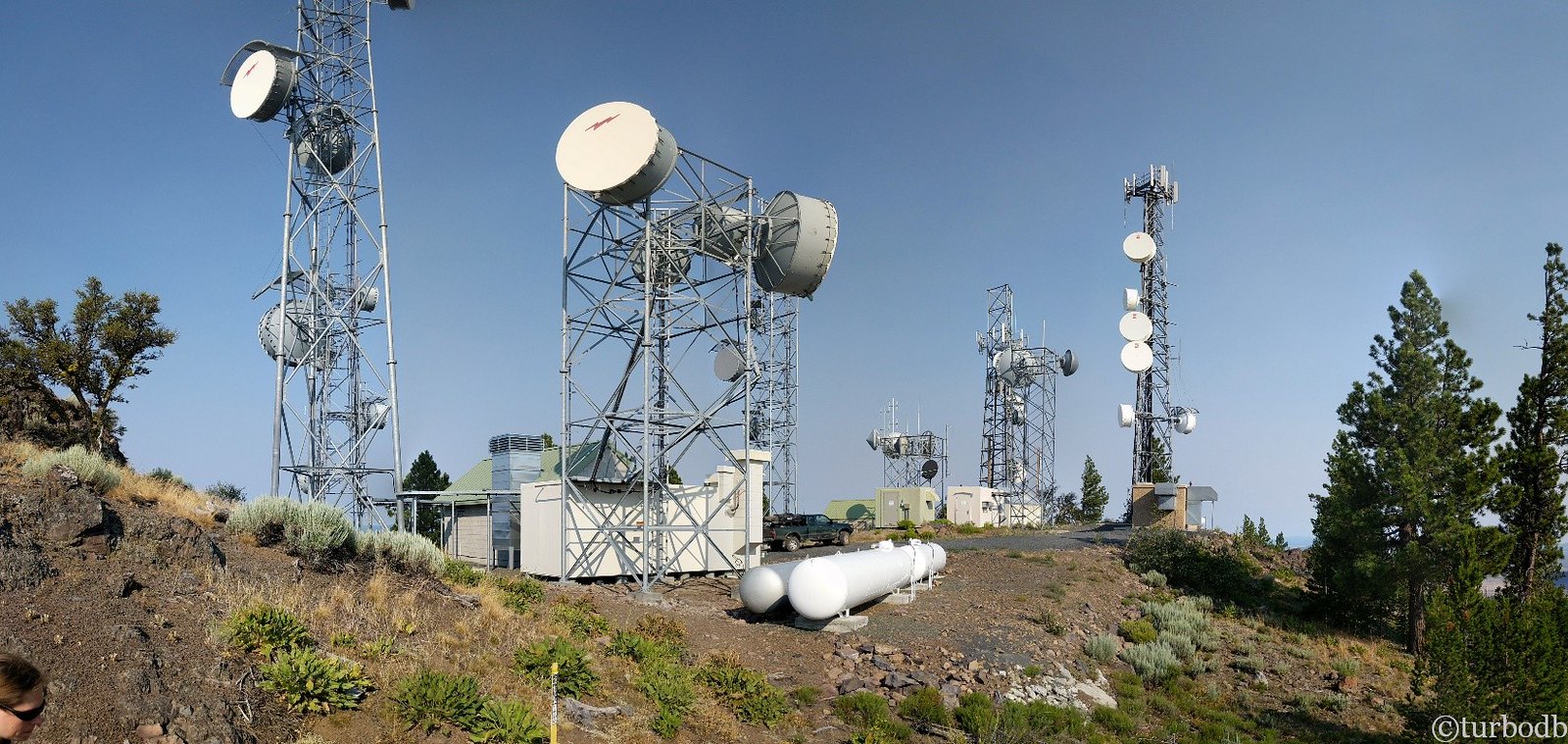
As we traversed the northern half of Winter Ridge, a small detour took us to the top of a peak to some of the best cell reception we'd have all trip. We still wonder why.
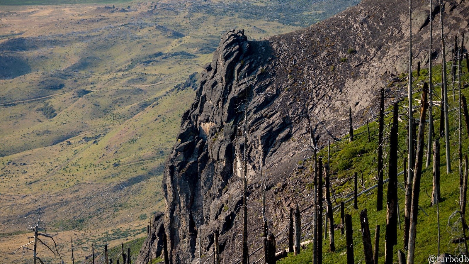
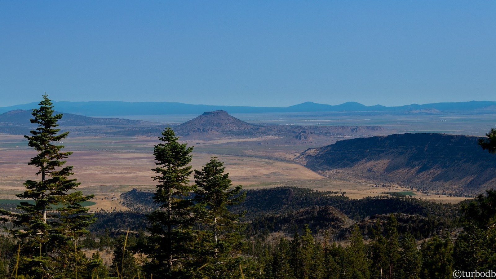
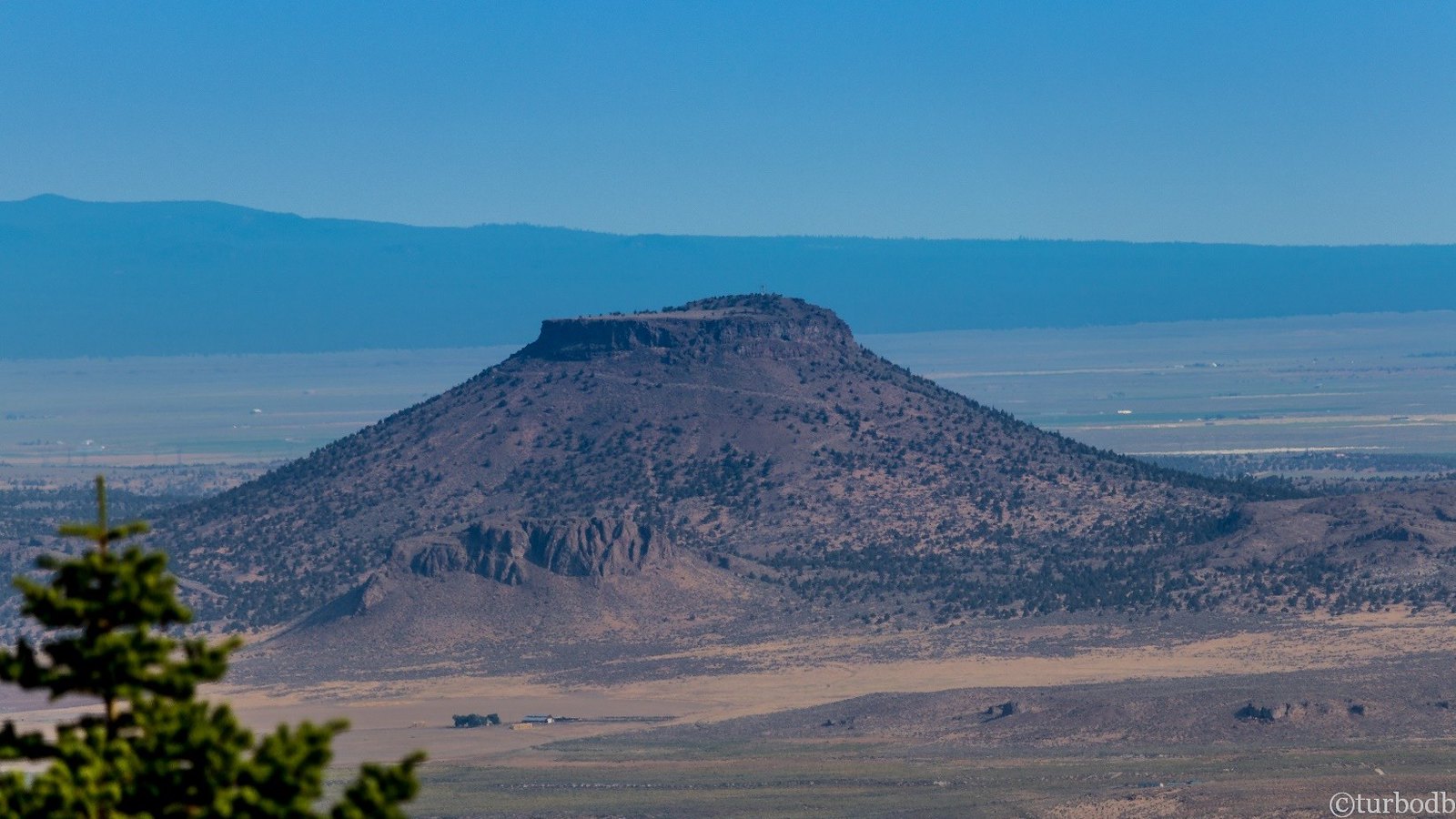
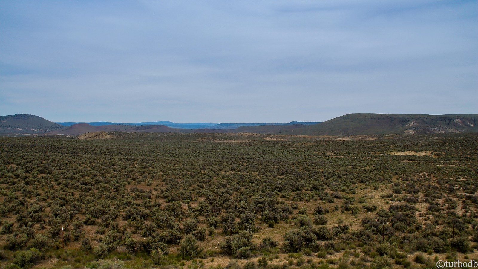
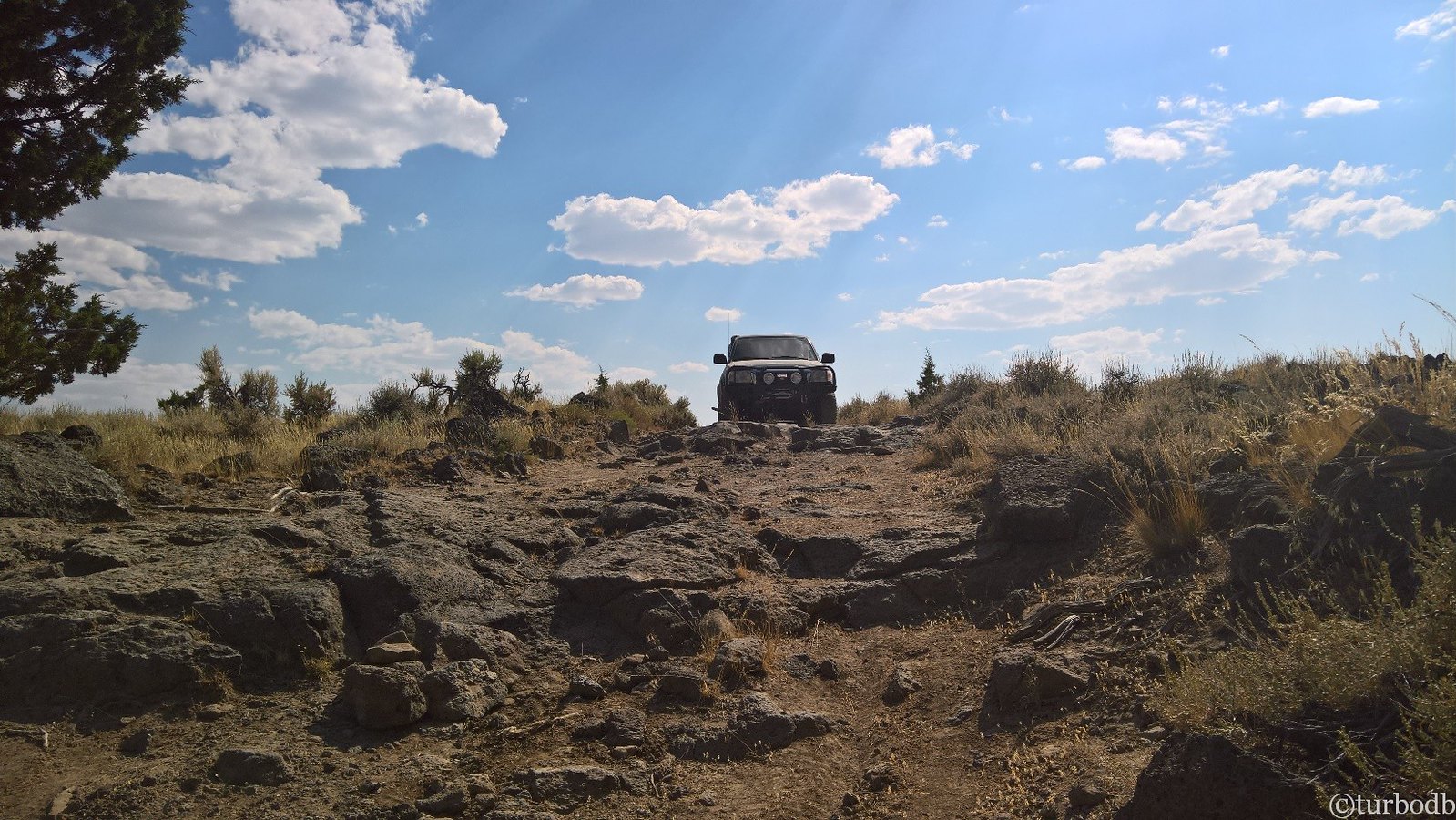
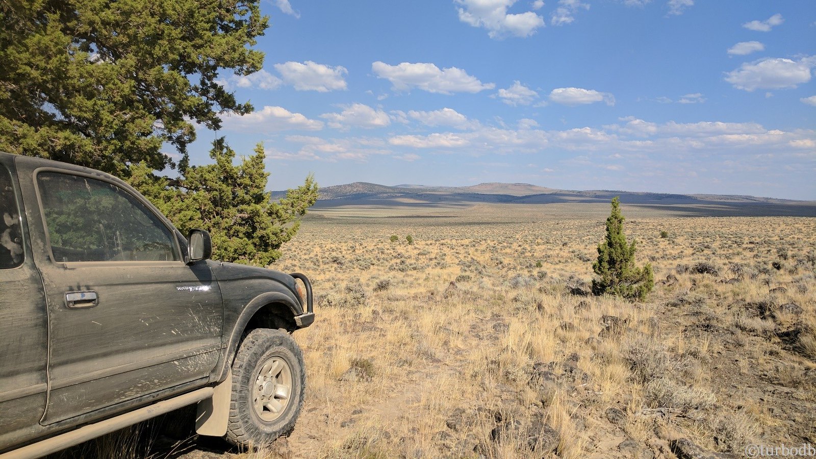
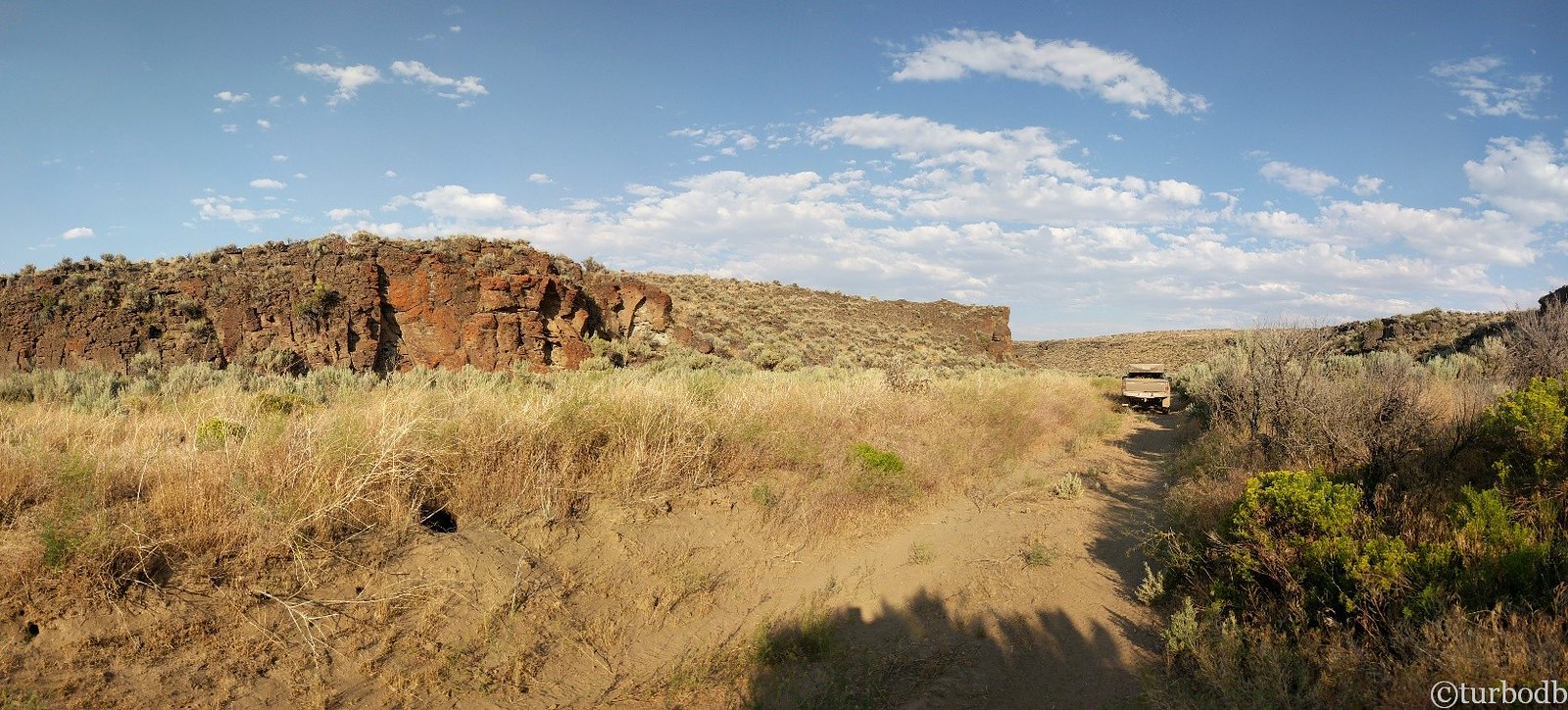
Heading back down to the trail, we began our descent out of the mountains to the valley floor. Even as we looked out towards Table Mountain, little did we realize how dramatic the shift in landscape would be - not only were we abandoning all shade trees (for tundra), we were also abandoning what we'd thought were rough roads for something in a completely different league - roads so rough that our average speed would drop to under 5mph.
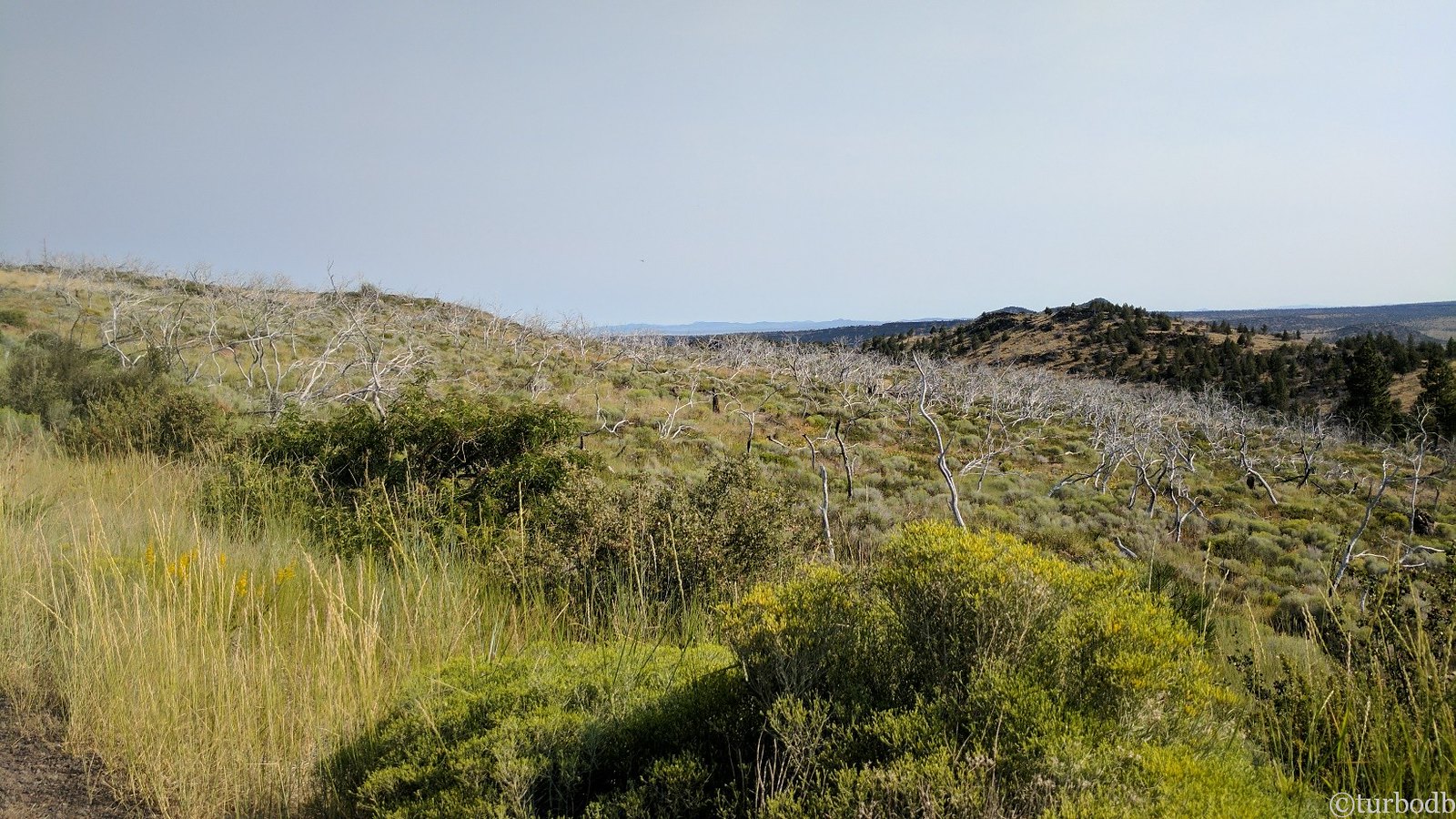
Our last view from Winter Ridge was of what we called a "ghost forest" - a green hill covered in long-dead, white, gangly trees - ghosts over the landscape. Likely caused by fire or drought years before.
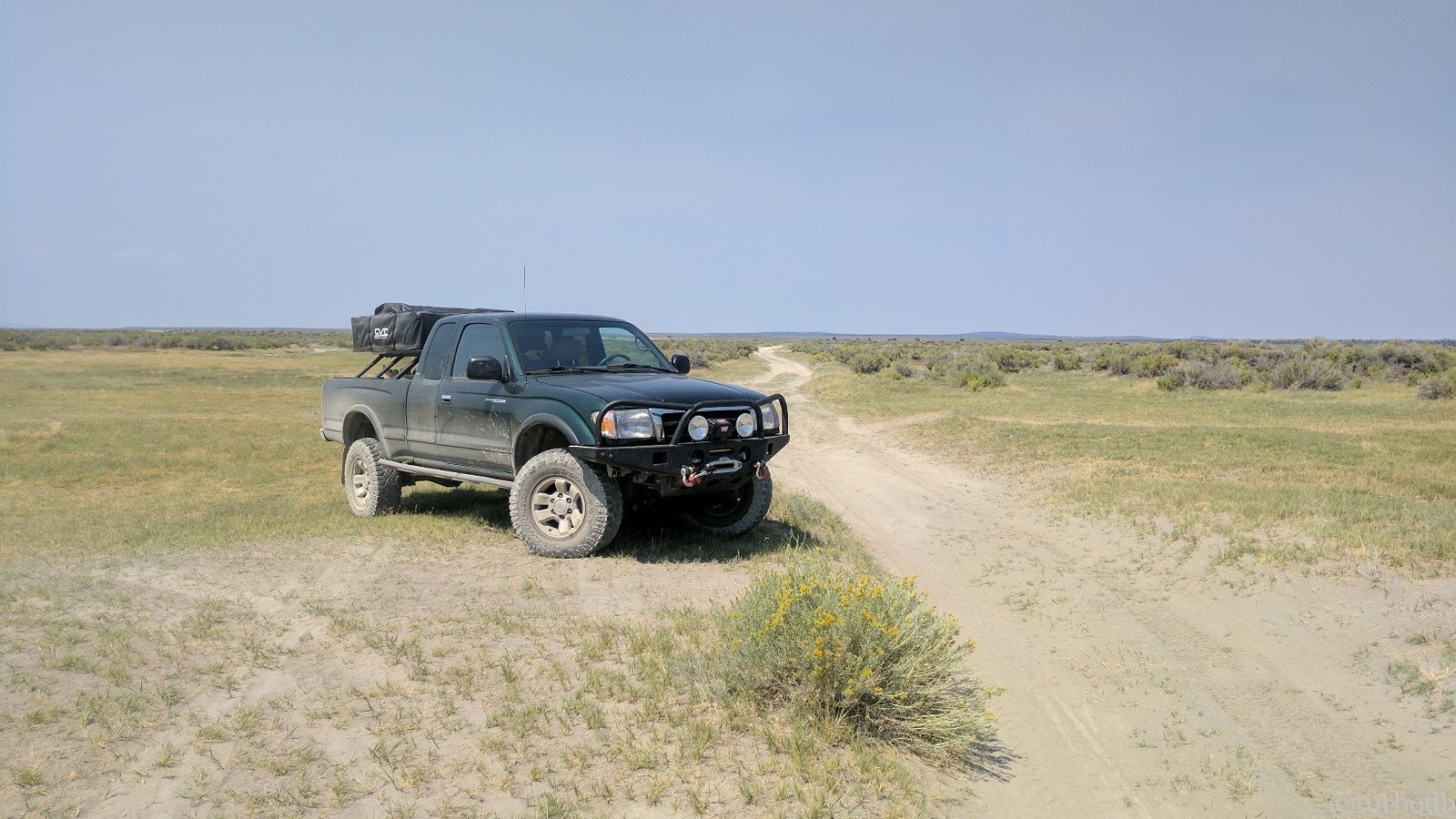
We crossed Highway 31, and the tundra started immediately. It was hot and dry. Not yet 10am.
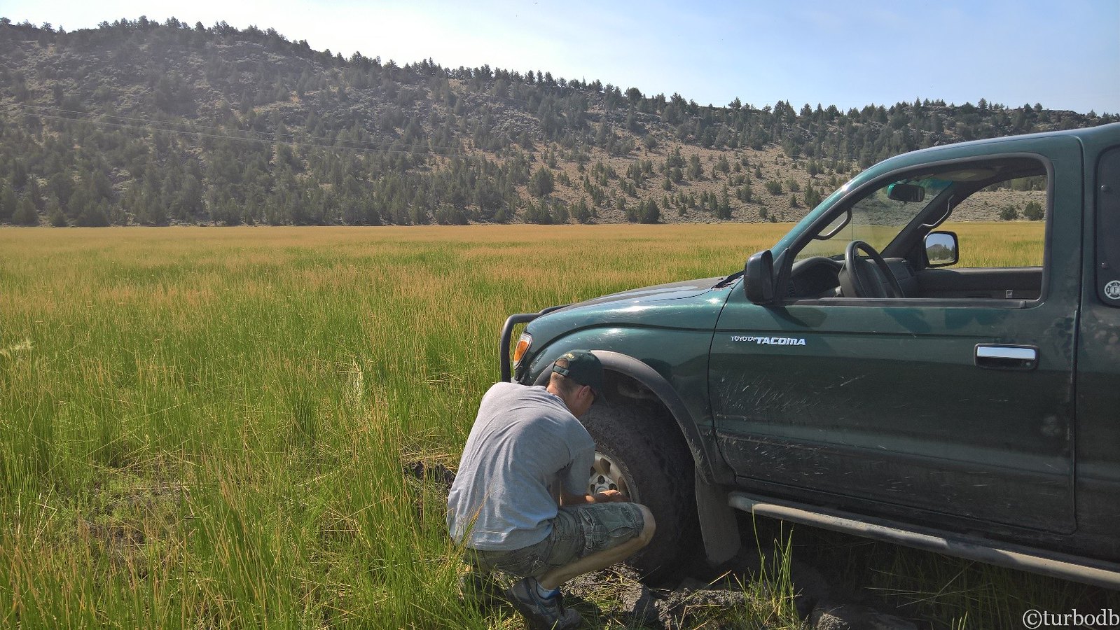
The trail followed powerlines for a couple miles up over a crest, and then, once again the GPS track went "off road," and through a meadow. Seeing faint tracks through, we looked at each other an forged ahead - cautious - could this be right? If it would get us out of the rocks, we were willing to try it.
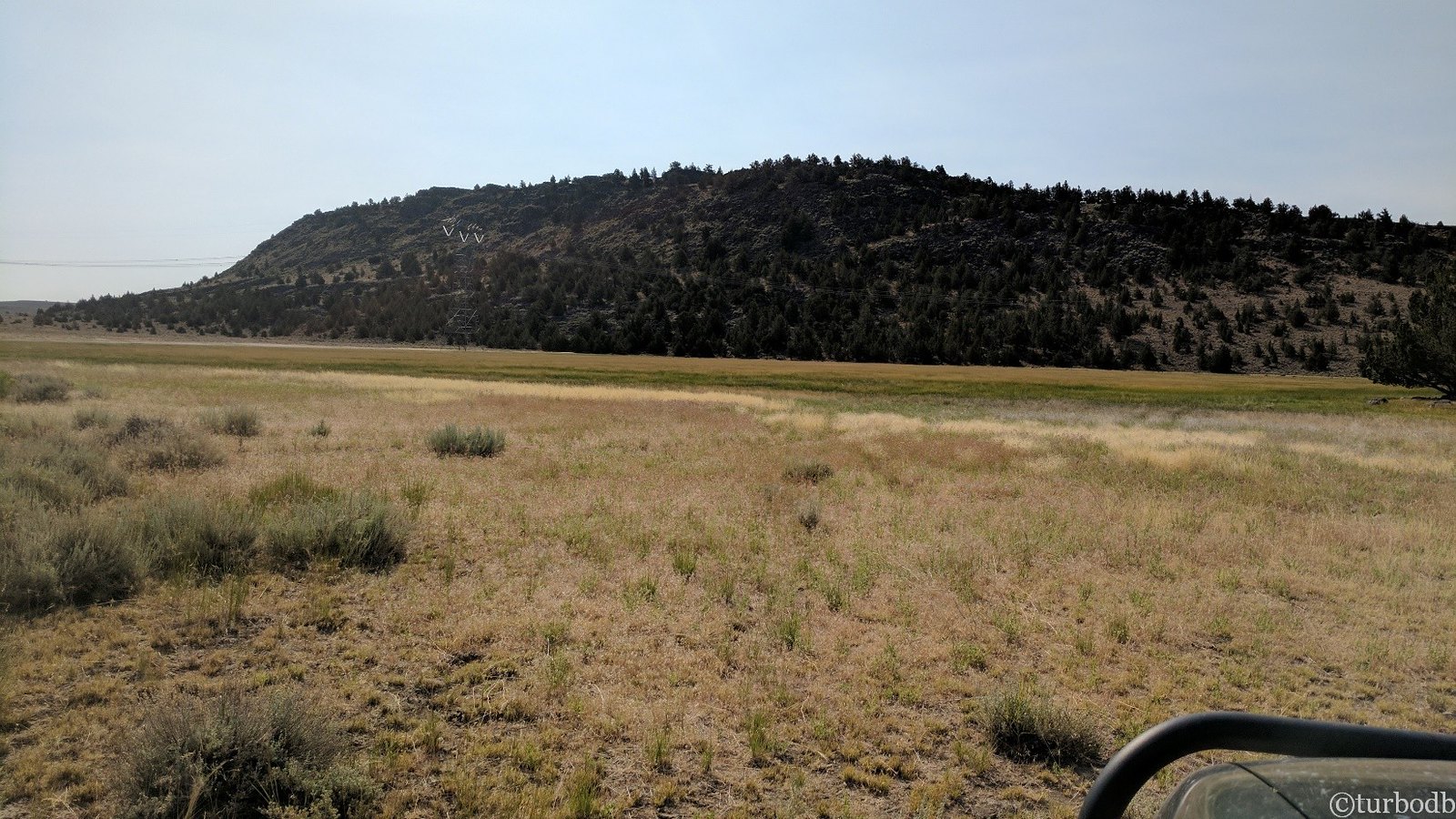
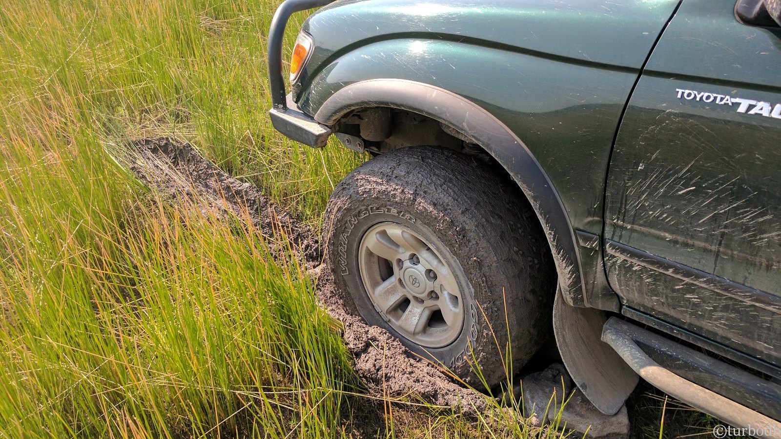
We proceeded slowly, through knee-high grass until @mrs.turbodb yelled, "it's wet!"
Within feet, I stopped. I put the truck in 4WD. I tried to back out. The wheels spun and immediately filled with sticky clay. I stopped again.
It was time to follow a rule I'd heard from my uncle years before, and had gotten a refresher on when we'd found a van perched precariously in Diamond Craters a couple months earlier:
Stop. Get out. Evaluate the situation. Act.
A quick look around the truck showed that we were about 20 feet into the mud of the meadow at the front of the truck (which is 17 feet long) - so we'd done well there. I thought we might be able to put it in 4L lock the rear, pull forward a bit, and then back ourselves out - so I got back in and asked @mrs.turbodb to watch the tires. If they spun as I was backing out, I wanted to know immediately.
They spun.
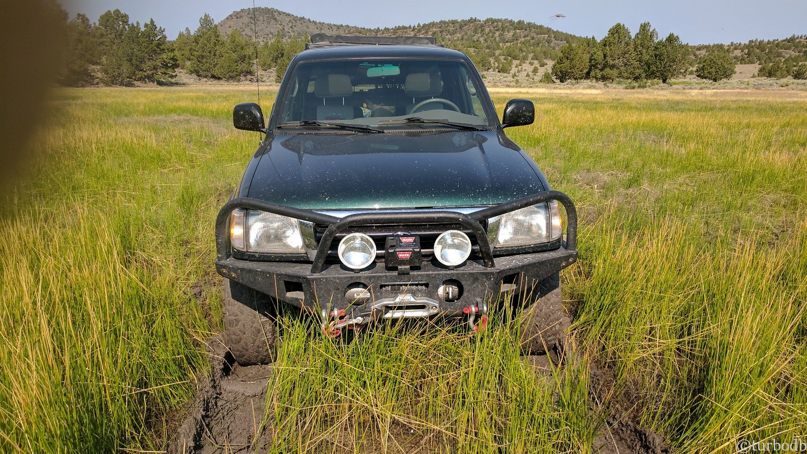
It was time for plan B. We don't carry MaxTrax or any sort of traction board (maybe we should), but we'd just driven out of the rocky tundra - so we headed to the edge of the meadow where we gathered rocks from an old fire circle as well as some abandoned firewood to pile behind the tires.
Update 2020: After getting stuck in mud again, we now carry a set of USActionTrax Recovery Boards. I highly recommend these over MaxTrax or Tred Pro Traction Boards for their stackability and competitive pricing.
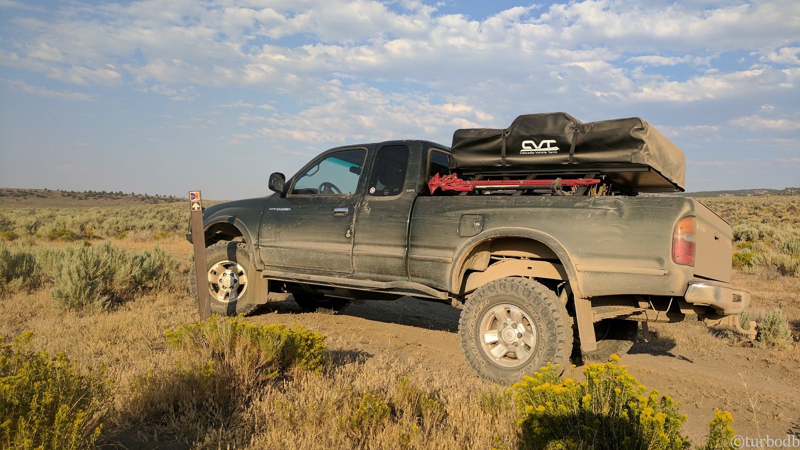
It took several trips, but within 30 minutes we had enough rocks and wood for ~5 ft behind each tire. I dug out some of the mud to position the closest rocks nearer the bottom of the tires, and I reduced tire pressure from 18 to 12 psi.
Then, it was back in the truck to give it a try again.
Success! As the truck freed itself, I backed well clear of the mud and took a few minutes to clean the shovel, my shoes, and my hands, which were covered in clay mud. And then, we set off around the meadow, on a rocky tundra road, to meet up with the GPS coordinates coming out the other side.
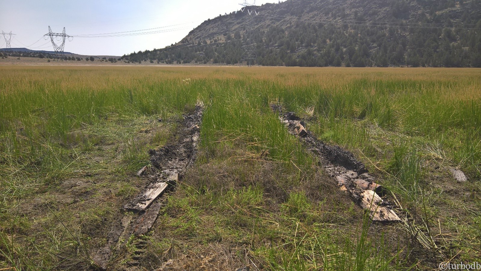
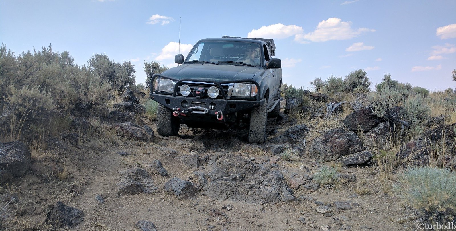
For the next several hours we drove on some of the worst roads of the trip. Broken up only by gates, we bumped our way over hill after hill until we came to a second meadow.
Much more cautious, this meadow proved drier than the first, and it was clear that at least a few cars had proceeded us. We soldiered on, grateful for the reprieve from the rocks, aware of the GPS tracks that showed us driving up and over the rocky hill in the distance.
By early afternoon, we finally made it the 15 miles to final gate before Christmas Valley.
We were ready for a break (lunch), and the truck was ready for some fuel.
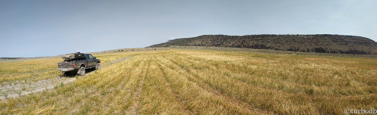
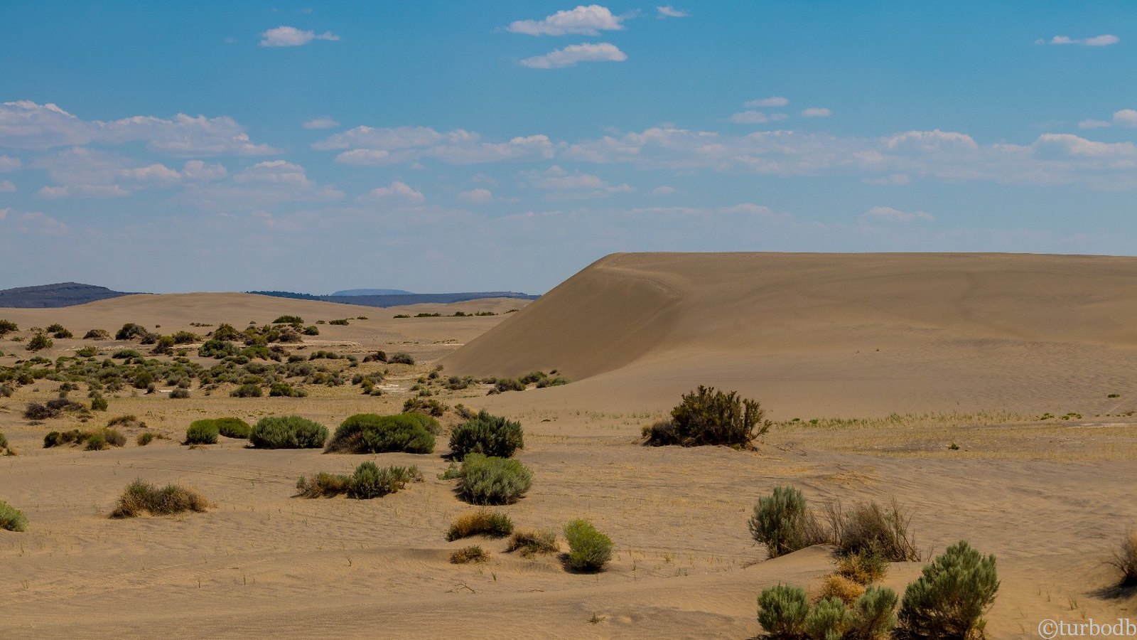
After lunch, it was back on the road towards our next adventure - the Christmas Valley Sand Dunes. These dunes cover 11,000 acres of land and once surrounded a lake that’s long dried up. Originally, the sand was created by the eruption of Mt. Mazama (that created Crater Lake).
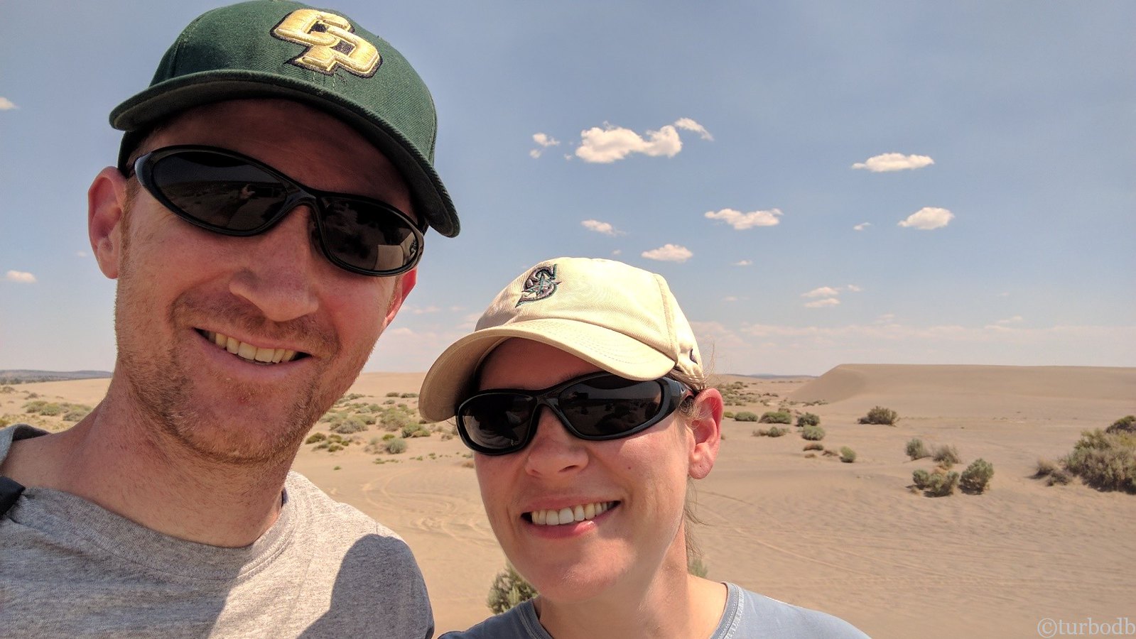
Yeah, I’m a goofball.
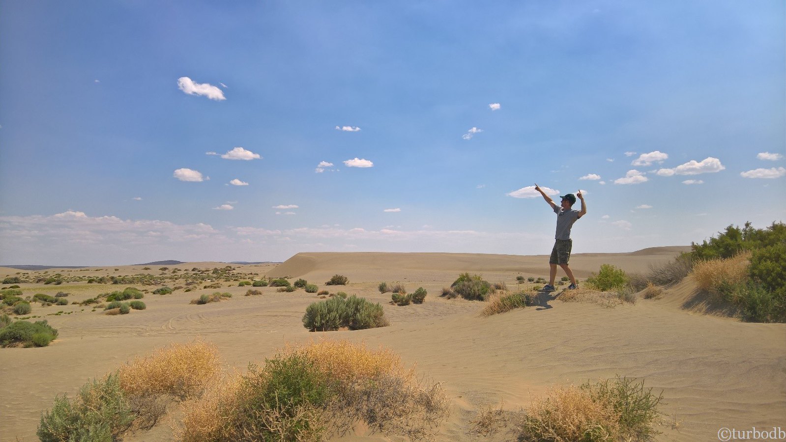
The vastness, and size of the dunes is deceptive. Some of them were over 60 ft tall, and they stretched on to the horizon.
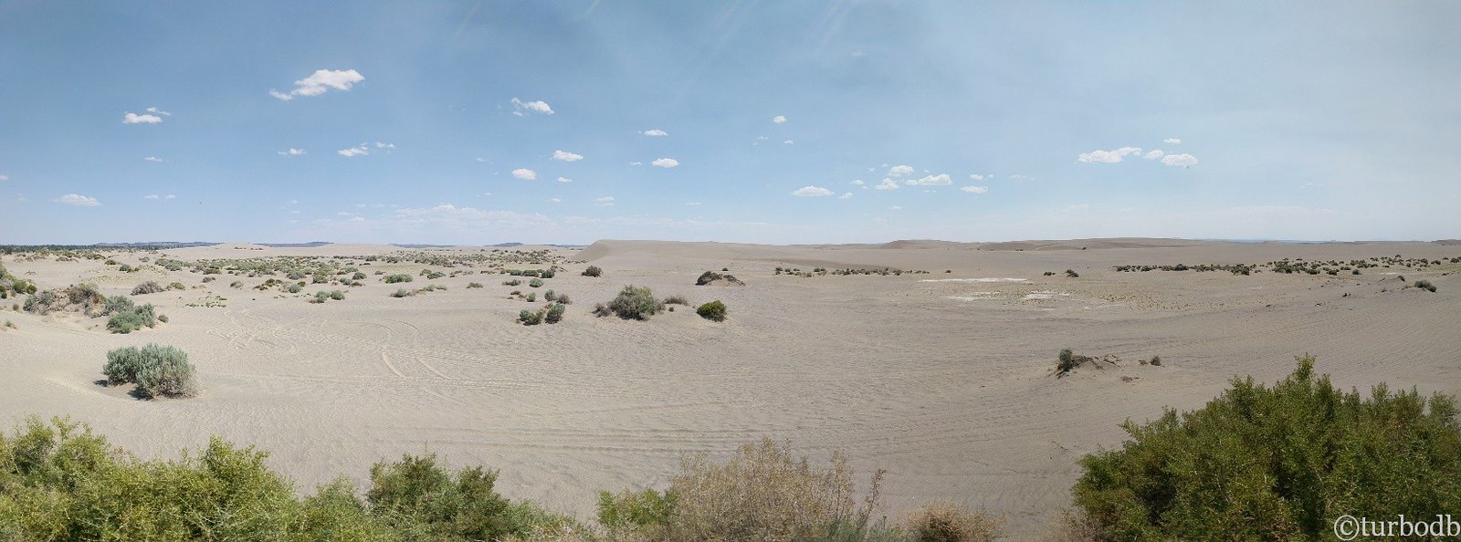
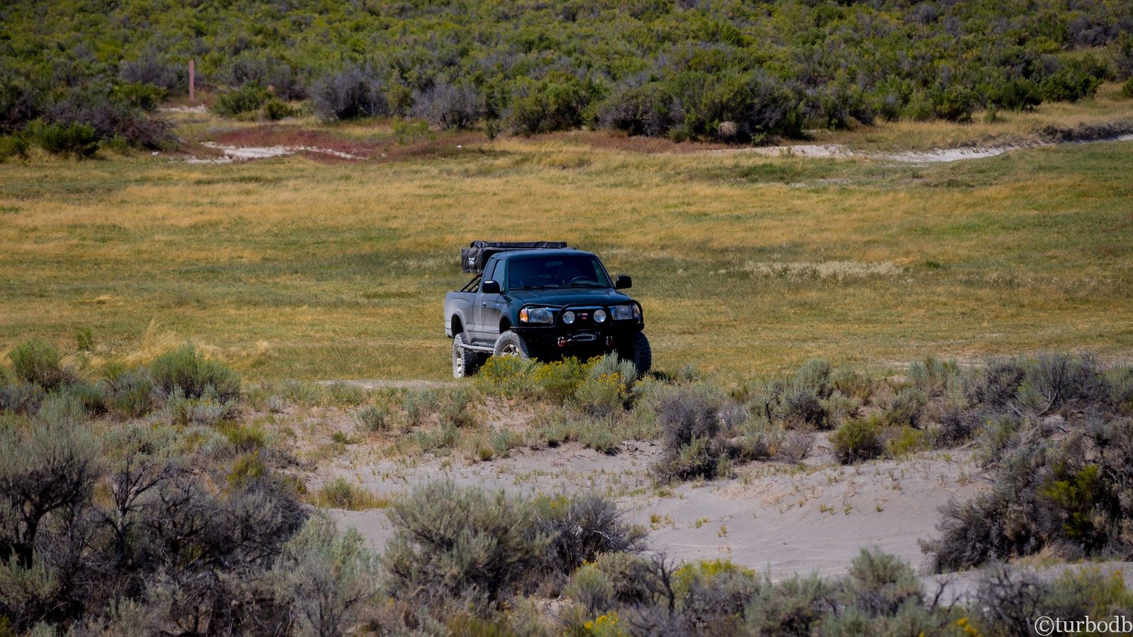
The sandy roads were a welcome change from the tundra of the morning and we made good time with minimal bumps. In places, the route was nearly buried in dunes! But, all good things come to an end, and after a short stop and 30 minutes of sandy roads, we passed through a gate that led back into the tundra. We soldiered on.
And it was here that we had a decision to make. The GPS showed a 6-mile (blue) route around two dry lake beds and a bluff. But the map showed another, 2-mile road (red), that appeared to cross near the lakes, but would save us a significant amount of time.
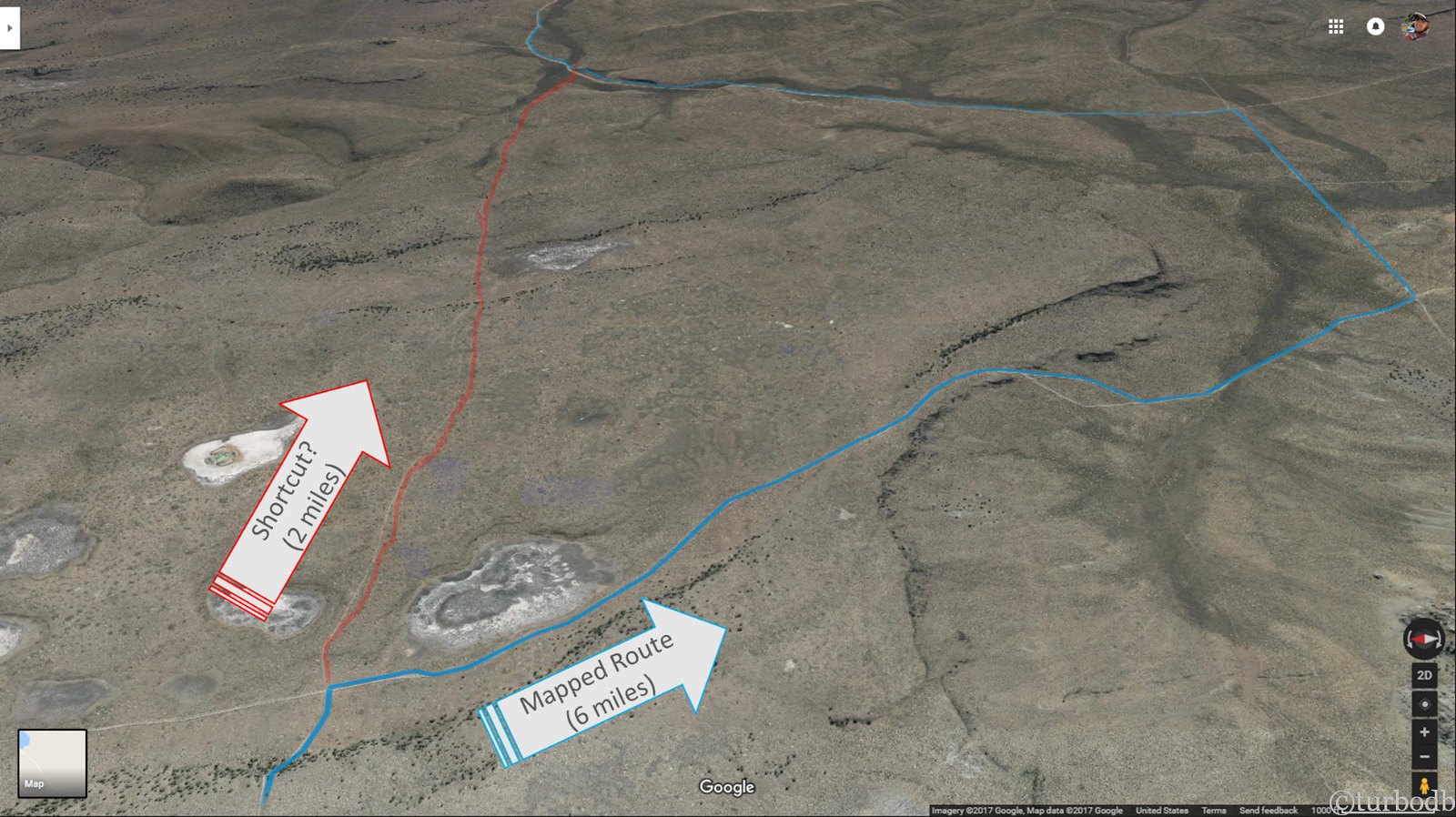
From our vantage point at the intersection, both roads looked equally well travelled neglected, so we opted for the shortcut. It was slow going. As we navigated between the first two dry lakes, we were relieved, and as we passed the third, we were nearly patting ourselves on the back. The road was rough - we were going about 2 miles per hour, including a few stretches where we had to get out and walk first.
And then, as we crested the last bluff on the shortcut, the trail completely disappeared. It had been getting fainter as we’d progressed, but it was as if everyone just stopped at this point. We stopped, evaluated, and decided that our best bet as a single vehicle was to go back. We’d wasted an hour in an attempt to save two.
No one was happy, but we acknowledged it as part of the adventure and headed back - faster this time, having already travelled the trail once. And with that, we were back on the GPS track.
The hour had set us back - it was now 5pm - and with 25 miles to our days goal of Riley, we were sure we’d be camping in the tundra, with extra miles to make up the next day.
Then, incredibly, the road turned from soft-ball sized rocks to dusty sand and our speed picked up. We covered 20 miles in 90 minutes, passing through some beautiful (if small) canyons.
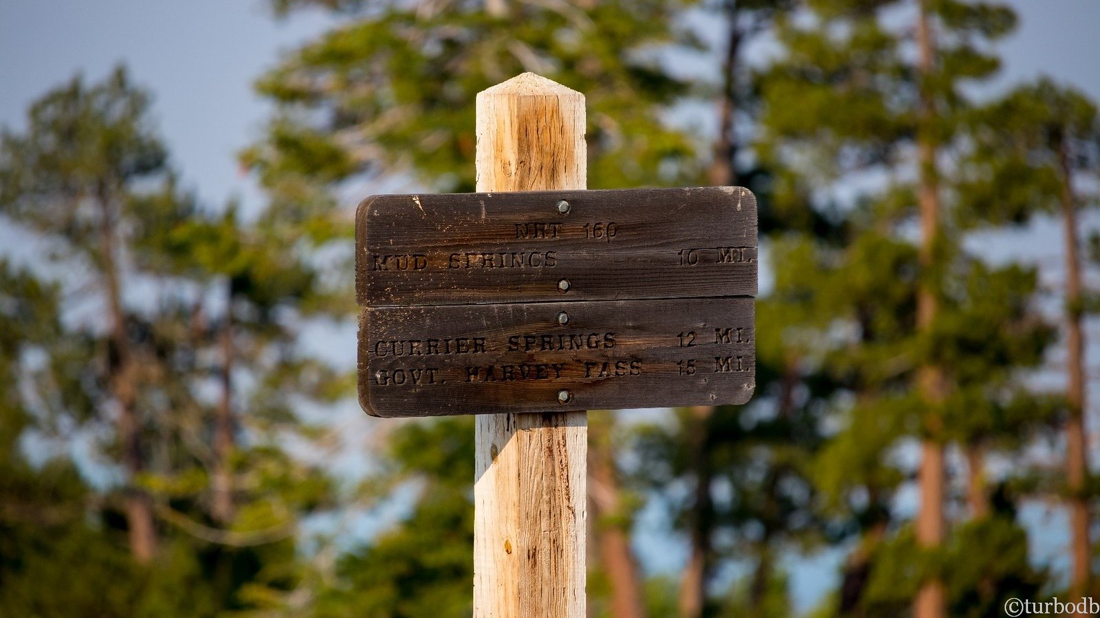
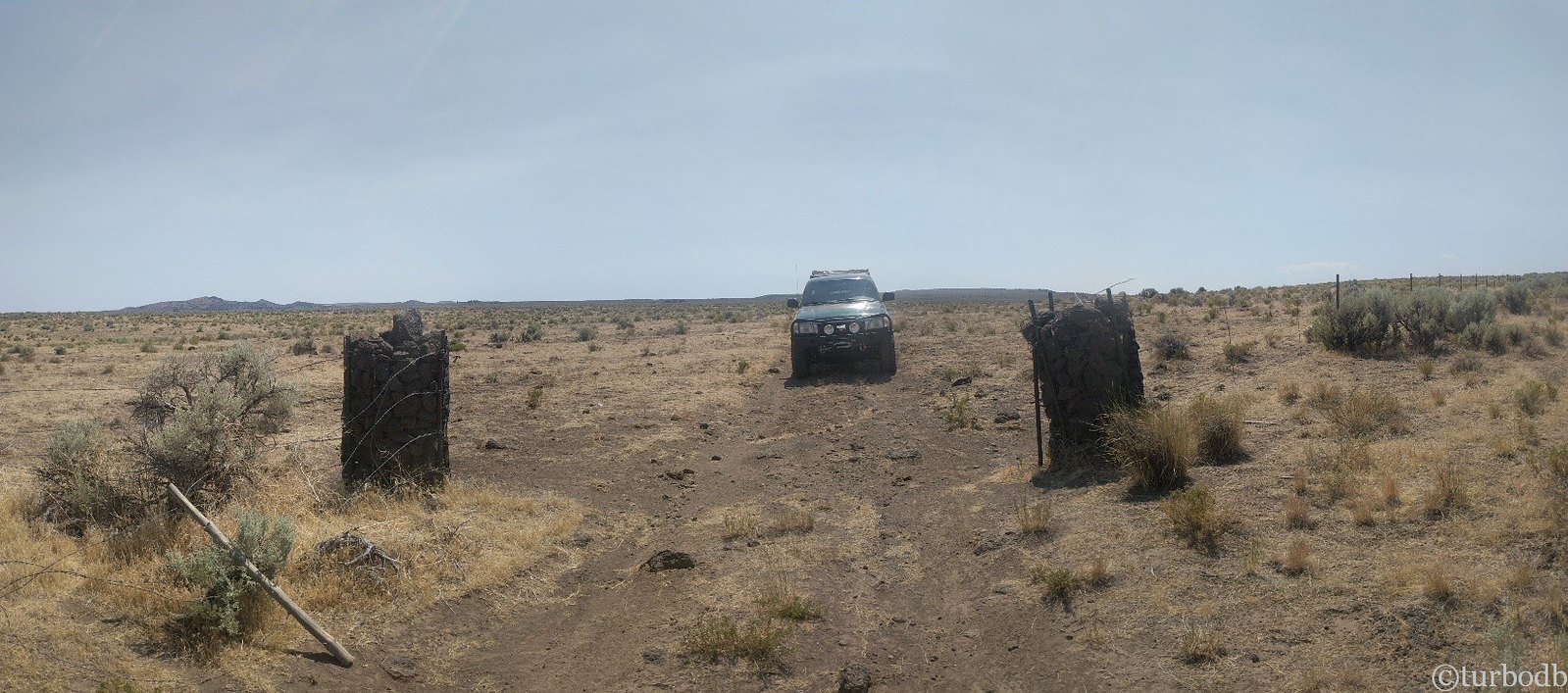
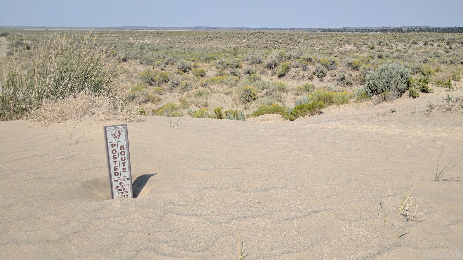
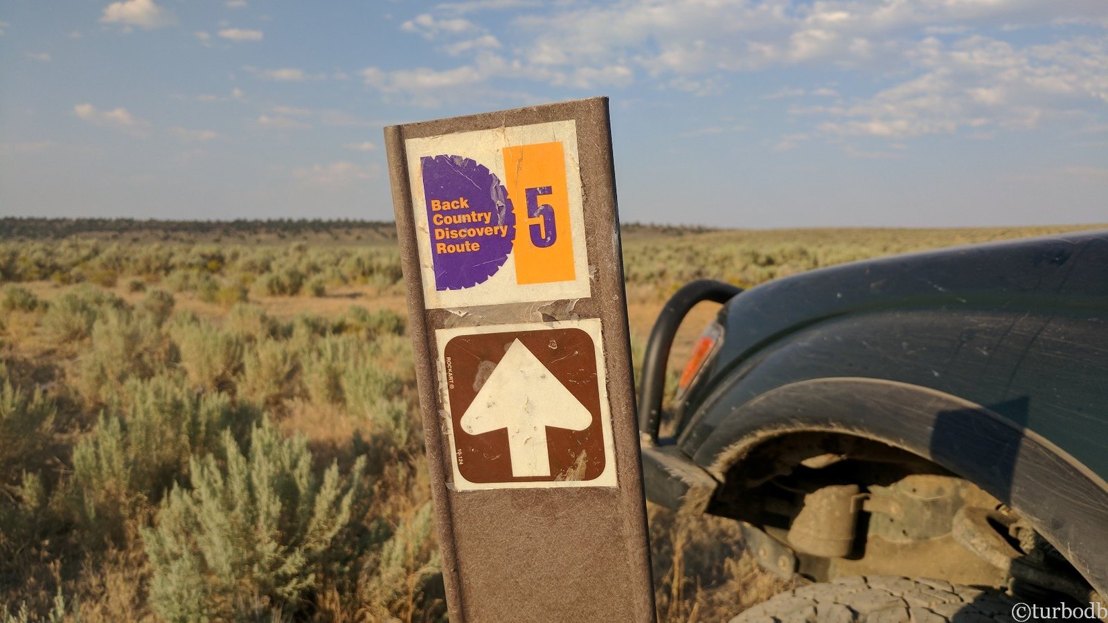
As we passed through gate after gate, we eventually came to a junction where we saw a sign we’d never seen before. An extremely small sign that we’d see only one other time on the entire trip. An exciting sign, that raised our spirits for the last five (bumpy) miles to Riley. We knew we were on the right track!
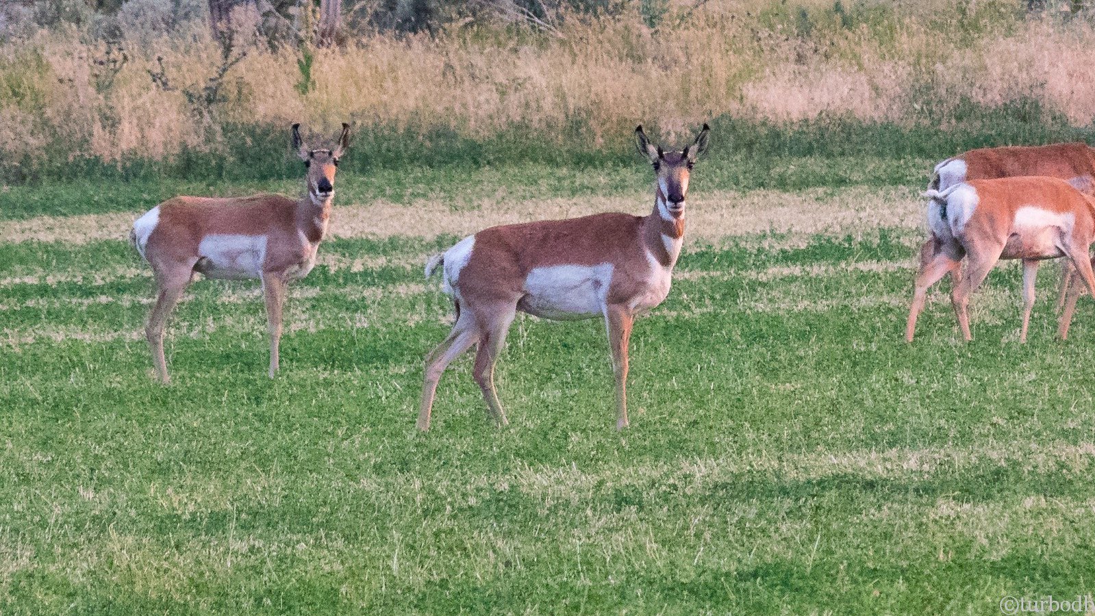
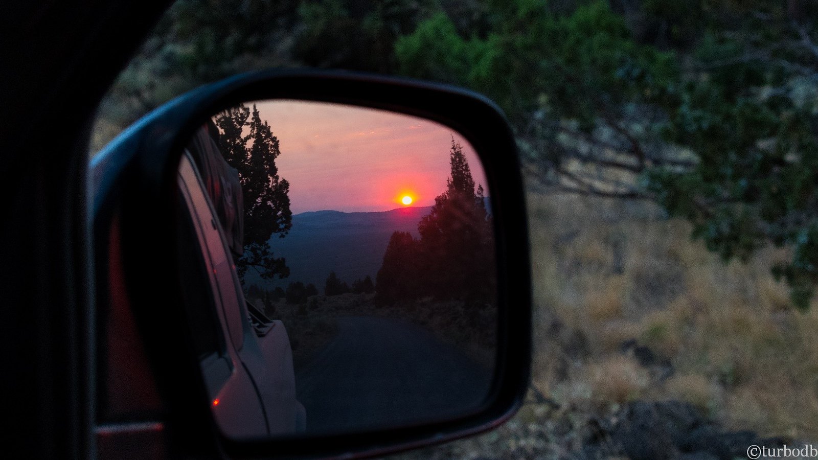
Passing through Riley just before sunset (7:50pm), we got gas before the gas station closed (8pm) and saw a herd for 50+ antelope (Pronghorns) in a field of alfalfa before finding a great spot to settle down for the night to cheese ravioli with meat sauce and a fresh salad.
It had been a crazy day. We’d
- Woken up to an amazing sunrise
- Visited a radio tower
- Gotten stuck (and unstuck) in a muddy meadow (Silver Lake, it turns out)
- Travelled countless (50+) miles through rocky tundra
- Seen enormous sand dunes
- Ventured “off-trail” and got spanked by a dead end
- Seen our first OBDR sign
- Arrived at our (fueling) destination with 10 minutes to spare
- Seen a herd of antelope
As we climbed into the tent, we marveled at all we’d seen. And we hoped that the tundra was behind us - smoother roads in our future.
Boy, did we have another thing coming.
")


