Bobby Jo camp couldn't have provided a more pleasant place for us to sleep for the night - temperatures just right and only a light breeze to keep the air moving around within the tent.
Having hit the sack relatively early, I'd been sure to set my alarm for sunrise - hopeful for just a few clouds, I was keen to catch the needles silhouetted in the morning light.
As I climbed up onto one of the house-sized rocks around camp, it was clear that we were going to have a great day, but I wasn't sure what sunrise would bring - not many clouds in the sky to catch the light.
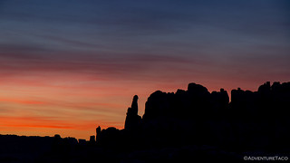
Of course, the most dramatic sunrises always have a tendency to take me by surprise, and so as I sat above camp enjoying the new day, the color started creeping up above the horizon.
Pretty soon, it was clear that I was in for quite the show - the yellows turning to orange and the oranges to pink and purple - the deep blue morning sky, a perfect backdrop for the canvas.
Eventually the entire sky was covered in a soft light, the sun now high enough to illuminate camp below, and to start bringing out the color in some of the needles to our west.
I hung out a while longer as I heard a few zippers and some rustling from camp - Brett and Heather (@BossFoss and @MrsFoss) who are also relatively early risers, having enjoyed the colorful display from the comfort of their cozy sleeping bags.
Eventually I decided that a bit more exploration was in order. It turns out that besides Bobby Jo camp, another site - Horsehoof camp - departs the main road less than 100 feet away, and Monte (@Blackdawg) had mentioned the night before that it had a nice overlook of the needles. Unfortunately, unlike Bobby Jo, it had very little flat ground, making it less ideal for our rigs. As I strolled along towards the site, it was clear that though we hadn't seen any wildlife beyond lizards and spiders, we weren't the only ones out here - deer tracks abundant along the road.
When I finally reached Horsehoof, the view really was spectacular. This would definitely have been a great place to camp as a single vehicle, or in a ground tent - and a good place to remember for a future trip. On this night, a single - nearly stock - Nissan Pathfinder was parked in camp, it's occupants just starting to stir and take in their surroundings on this new day.
Not wanting to disturb them, I turned around and headed back the way I'd come, my stomach reminding me that it was getting on breakfast time as I spotted Brent (@PcBuilder14) in the distance, his camera out and clicking away.
We all enjoyed our breakfasts in the morning sun - cereal for me, hot oatmeal for Brett and Heather, Donettes for Monte and Devin (@MissBlackdawg), and bacon and eggs for Brent. And once again, we lazied around - the pace of this trip more relaxed, and something I think we all appreciated more than we thought we would.
As we lounged around, talk eventually turned to the day's agenda - the plan was to continue west into Beef Basin, but that assumed that we'd make it through Bobby's Hole - a hill climb that the park ranger had warned us could be impassable, despite work that the local Jeep club had done before winter in order to try and slow down some of the erosion. From there, the plan was to visit a couple of Native American Indian ruins in Beef Basin before continuing south where we had a few options depending on the road conditions.
In the end, we realized that we couldn't really make any plans until we discovered what lay ahead - knowing that whatever that was, one thing was certain - we were likely to enjoy ourselves no matter what.
On our way - and travelling a section of road that we'd traversed three times already on the west end of the park - we made (and had) a good time, Brent commenting that, "Even though we've done this section before, I feel like there's always some rock or obstacle I didn't remember."
Soon, we were through the gate and back into BLM land - new ground in front of us and a great place to stretch our truck's legs with a bit of speed as we wound our way through the valley floor, canyon walls rising around us.
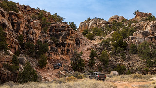
But we couldn't stay in the valley forever - we had to get up and over the southern pass in order to enter Beef Basin - and Bobby's Hole was the gatekeeper to that stage of our adventure.
As we neared, it was clear that most of the work done by the Jeep club the fall before had been undone by nature - the trail rocky, and the water diversion mats tossed to the side. It looked very fun!
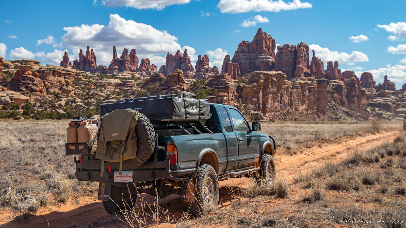
...and a bit interesting for a nearly-stock 3rd gen Tacoma.
Monte made his way up first - carefully picking a line over the rocks and up the ledges - Devin hopping out of the truck at one point to spot and capture one of the more exciting sections, that required him to re-evaluate his line, on camera.
Next up was Brent. With lots of loose dirt, OEM tires, and a long wheel base, Brett and I looked on from below - curious to see how his truck handled this section of road.
As is often the case, his Tacoma impressed us all. With some spotting from Monte, he pointed his nose up and crawled up with little fanfare, the capability of his stock truck the perfect example of why I always tell people that they shouldn't wait to get out and see the sights - there's no need to "build" a rig to get through most of what you'll encounter in our vast land.
Brett and Heather were up next, and it was fun watching the difference that - primarily different tires - can make. Clearly much happier in this terrain than the OEM tires, Brett made his way up the trail with little fanfare, a big grin on both his and Heather's faces as ledges passed beneath them.
As Brett pulled into line at the top of the hill, I jogged back down to my truck - excited as usual when the trail requires a bit of attention. And, like the first three guys, I made it up unscathed - though I did stall once, "A little too trusting of the low gears, like Frank." Laughed Monte.
The low gears definitely are nice! 
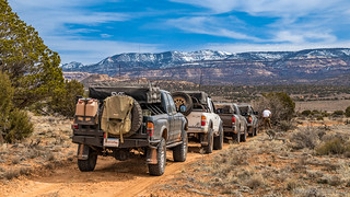
Now entering Beef Basin, we were greeted with a spectacular view of the snow covered Henry Mountains in the distance - the red dirt of Canyonlands and the San Rafael Swell in the foreground. Hard to believe that we were at the base of those mountains just six months earlier, unable to cross them due to what might be the same snow we saw today!
Noting this location as a great camp site if we were unable to make it over Bears Ears to our south, we pushed on - eager to see some ruins, our main attraction for the day.
And, it wasn't long before we got our first glimpse. In fact, it was sooner than any of us expected - Monte just happening to spot a foundation that he hadn't marked on any of the maps.
Mostly dilapidated, only the four corners seemed to be original - still, we wondered what it had been, and when it was originally built. We looked around for more structures - perhaps a grainery or something nearby - but found nothing. So it was back to the trucks to continue on.
As we did, Devin spotted another unmarked ruin off the side of the road, and with that, the competition was on. "Everyone needs to find one now." said Monte, laughing over the CB. "And marked sites don't count." piped in Brent.
In the end - and despite emphatic declarations of not really caring - we all spotted at least one ruin, the remainder of the day filled with stops to go explore.
Our next was a simple circular structure right next to the road. Missing any mud "mortar" between the stones, it was once again unclear if this one was original or had been rebuilt.
But then we started getting into the good stuff. Further off the road, this ruin was barely visible - a great spot as we drove by - and was our first clue that some of these structures had been more than one story tall - though we couldn't tell exactly how the higher stories had worked, exactly.
A few bits of pottery also present at this one.
Across the valley, we spotted the Farm House Ruin, and headed over.
One of the better known in the basin, a sign posted next to the ruin informed us:
During the 11th and 12th centuries, this was a farming community. The flats stretching before you were dotted with small patches of corn, beans, and squash. Cultivation was done with a sharpened stick. The growing plants were watered daily by women who ladled out a portion to each plant. As the sun sank in the west each day, those ancient farmers would return to this home to eat and rest in preparation for another day in the fields.BLM sign
This farmhouse shed more light on the multi-storied dwellings - a few wooden beams still present, which would have supported the second story floor.
We looked around, admiring - eventually deciding that it was time to move on and find a spot for lunch - our route taking us around the perimeter of Beef Basin and into the shade of some trees at this point.
Perfect timing for some tasty sandwiches!
Lunch consumed, we continued our counter-clockwise circumnavigation of Beef Basin. Ahead of us, we could see snow-covered mountains - our hopes that we'd be able to make it up and over, lower by the moment. We came to a stop - I thought to have a look and conversation, but soon it was clear that it was for another reason - there was a tree down over the road.
Relatively small, Monte, Brett and I made quick work of rotating it 180° and off the road before continuing on. It wasn't long before another unmarked ruin was sighted off the road - this one the base of what appeared to be a tower.
After hiking up the mountain side to check it out, we wondered together if this had been one in a series of towers used for some sort of communication. It's position seemingly perfect for such a use.
It was only a couple days later when we were at a different ruin that we found out that these actually were communication towers - fire and smoke signals used to communicate messages over long distances across the basin.
Now early afternoon, we continued on from ruin site to ruin site - some marked on our track, others ones that we happened to spot off the side of the road. Our day was literally "in ruins."
And then, just as we were putting the last couple miles of Beef Basin behind us, we spotted something special - in the distance, a quarter-mile or so off the road - our first (and so far only) cliff dwelling, situated in a large cave.
Excited, we parked our trucks on the road and set out cross-country. When we arrived, we were not disappointed. While the dwelling was definitely falling apart - it's walls propped up at least three times to keep them from falling down - it was in by far the best condition of any that we'd found so far, the mud mortar still largely intact. And it's view - definitely not too shabby.
Having explored our last ruin for the day, it was finally time for our attempted exit out of Beef Basin via the Manti-Lasal National Forest to the south.
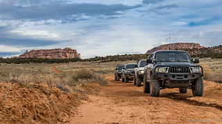
With seemingly well-maintained roads and Monte in the lead, we covered ground quickly - quickly gaining elevation, our newfound height offering stunning views all around.
And then without much warning at all, snow on the road. Right around 7000', we were still a good 1500' below our highest point. To say it wasn't looking good for us would be an understatement! 
Hopeful that this would somehow turn out to be an anomalous patch of snow, we all got out and started walking up the road. The snowy, wet, muddy, slippery road. A road that - had we decided to continue up - could have ended badly for at least one of us. As such, we made the smart call to change plans.
After all, we'd started the day knowing that this might happen.
And so, after backing out of the snow and getting turned around, we headed back the way we'd come. Back past several ruin sites, back towards the camp we'd spotted early in the day - the one with the view of the Henry Mountains.
Along our way, we found one more ruin and despite the fact that it was late in the day, we pulled over to take a look. As it turned out, this was another multi-story dwelling - one that was likely another in the series of communication towers - and a very cool way to put a cap on our tour of Beef Basin's ruins.
It was nearly 7:00pm when we finally arrived at camp. We were happy to get settled, but a little hesitant given the fact that the site was relatively exposed - if there was significant wind during the night, we would be subjected to it's full force. And the weather had been getting a bit more overcast over the course of the day.
But we were tired, and we decided to gamble on the fact that it'd stay relatively calm for the next 15 hours.
As we all setup our tents, and as the fire ring was being built, there was suddenly a bit of a commotion. Turns out a lizard was hiding in the fire ring rocks. Lucky that we'd found it before lighting the fire, there was a lot of looking and not a lot of catching going on - something I was having none of.
So I headed over and - I think to everyone's surprise - picked it up. Flipping it over, identification was easy - this was a blue-belly. The strange thing was that it was very low energy - perhaps due to the temperature? 
Pretty quickly, Heather wanted to hold it - sure that it would impress her little cousins  So, we made the transfer. And boy, the smile on her face!
The rest of the evening proceeded as the previous had. We made and ate dinner - this time as the light waned, a little later than we were used to, but still before pitch dark.
And then, as the last of the color left the sky, we gathered around the camp fire and once again enjoyed each other's company - discussions of the day's adventures and our new plans for the following day the most pressing topic we covered.
With our direct route south unavailable, we knew it'd take a day or more for us to reroute around - we'd have to retrace all of our steps through The Needles and Elephant Hill - and that reroute would also include a lot of pavement as we made our way south.
Not ideal, but just part of the adventure.
Knowing we had to get a reasonably early start, we decided that a reasonably early bed time was prudent (and I think we all secretly appreciated it) and it was well before midnight when we all peeled off to our tents.
As I dozed off, the moon rising in the east, I hoped the weather would hold and the forecast we'd heard on the ham radio would not come to pass. None of us needed 25mph winds and a chance of snow...












A good read, nice pictures gonna start following you.