May 26, 2018.
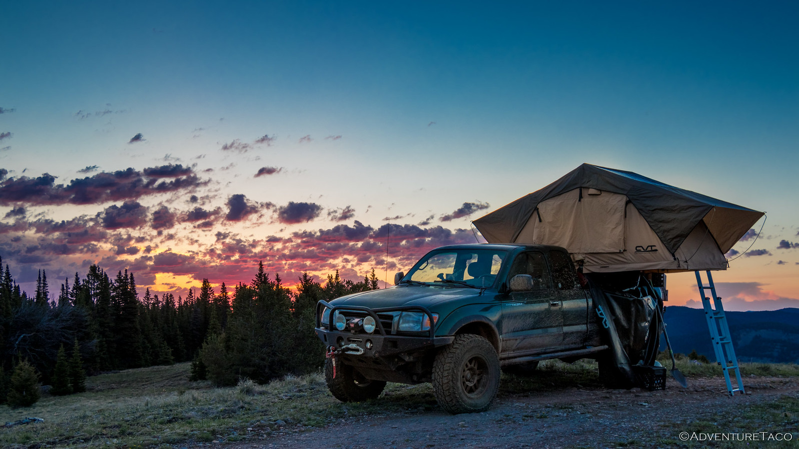
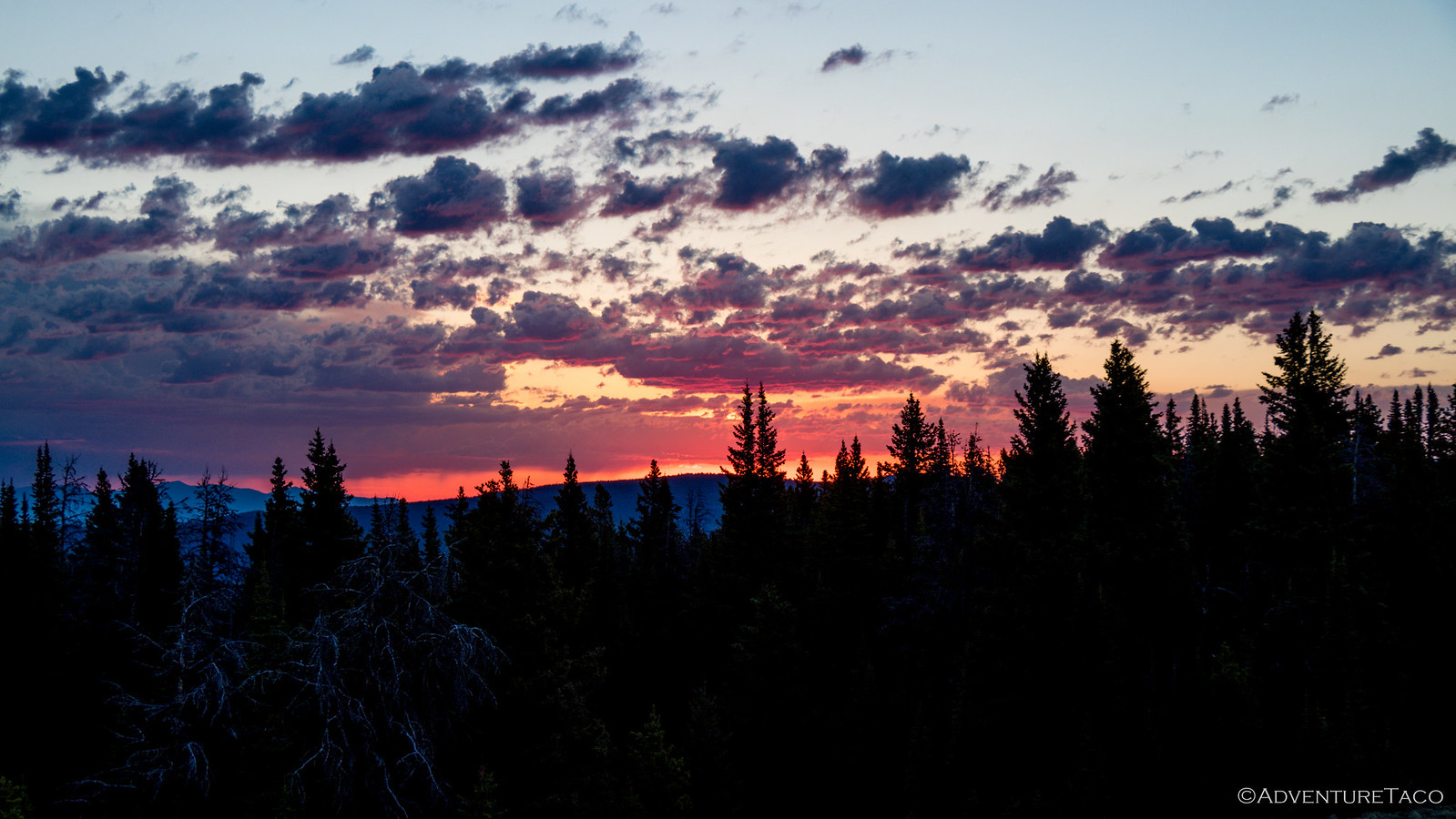
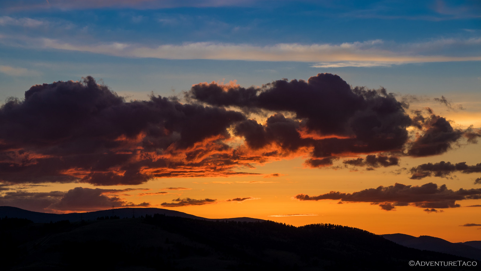
We survived the night, the lightning storm and associated rain passing both east and west of our perch atop Monument Peak. As has become a habit, I was up early - I knew our location and the clouds in the sky could make for a spectacular morning.
The sun did not disappoint.
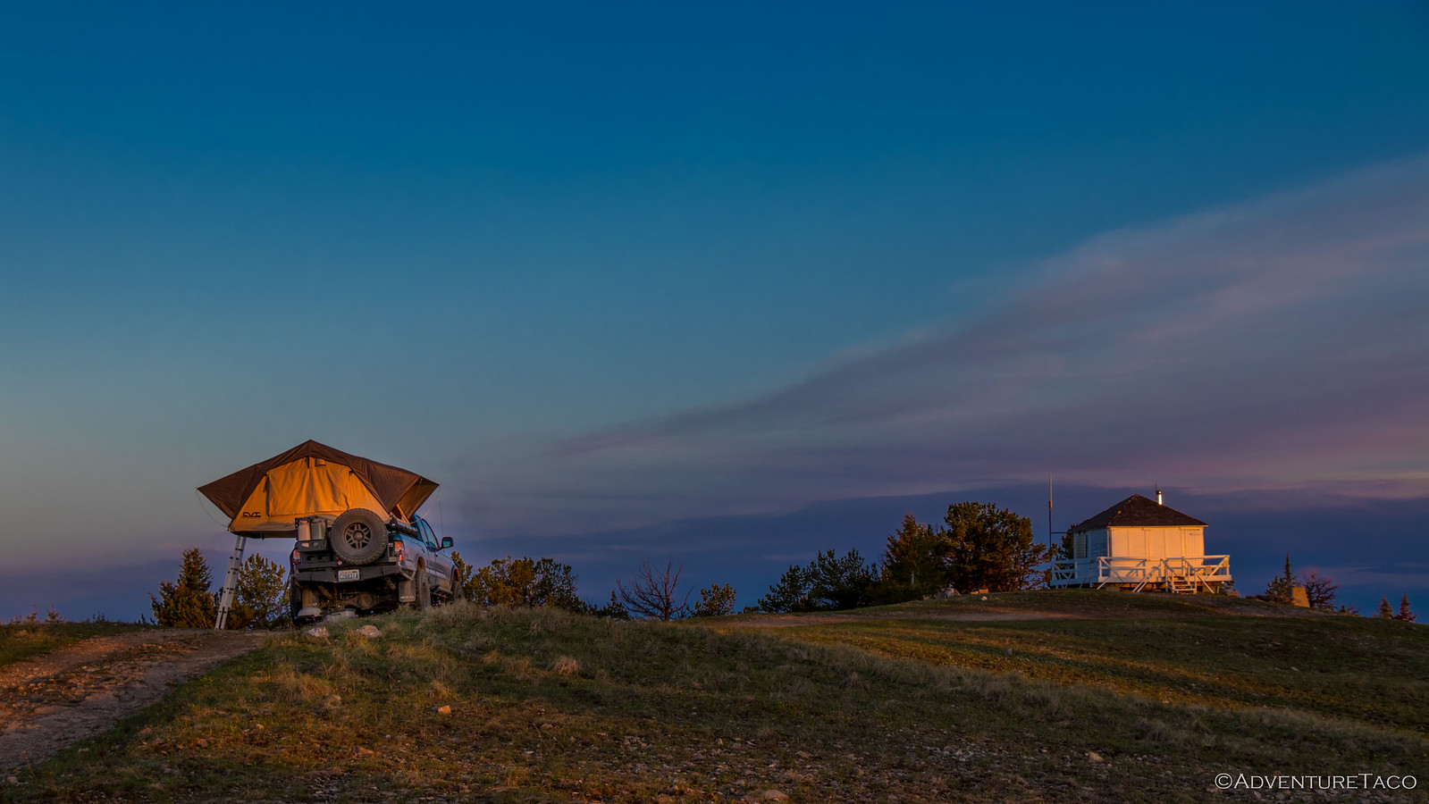
As high as we were, it wasn't long before the sun was over the horizon and illuminating the truck and lookout; the storm obviously a thing of the past, a beautiful day in the works for our adventure.
We ate breakfast and enjoyed our surroundings - a couple of curious but skittish deer entertaining us throughout the morning, but it wasn't long before we were ready to be on our way. We were unsure what the day would hold, but we were hopeful as we dropped in elevation that it would once again be snow-free, despite the local ranger's warning.
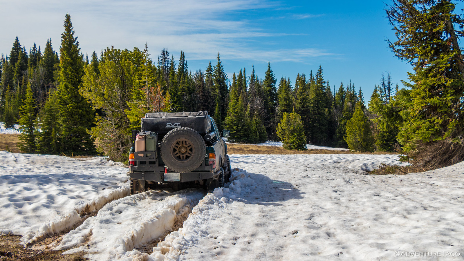
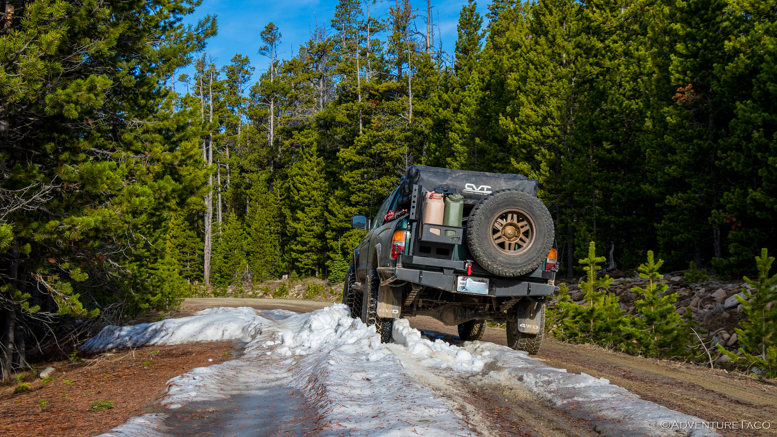
And it was, for a while. Mostly. We did hit one small drift still on the road, and jumped out to snap a poser shot.
Ironically, not five minutes and a couple turns later, we hit a drift several feet deep across the road; we were done on this trail - our path completely blocked.
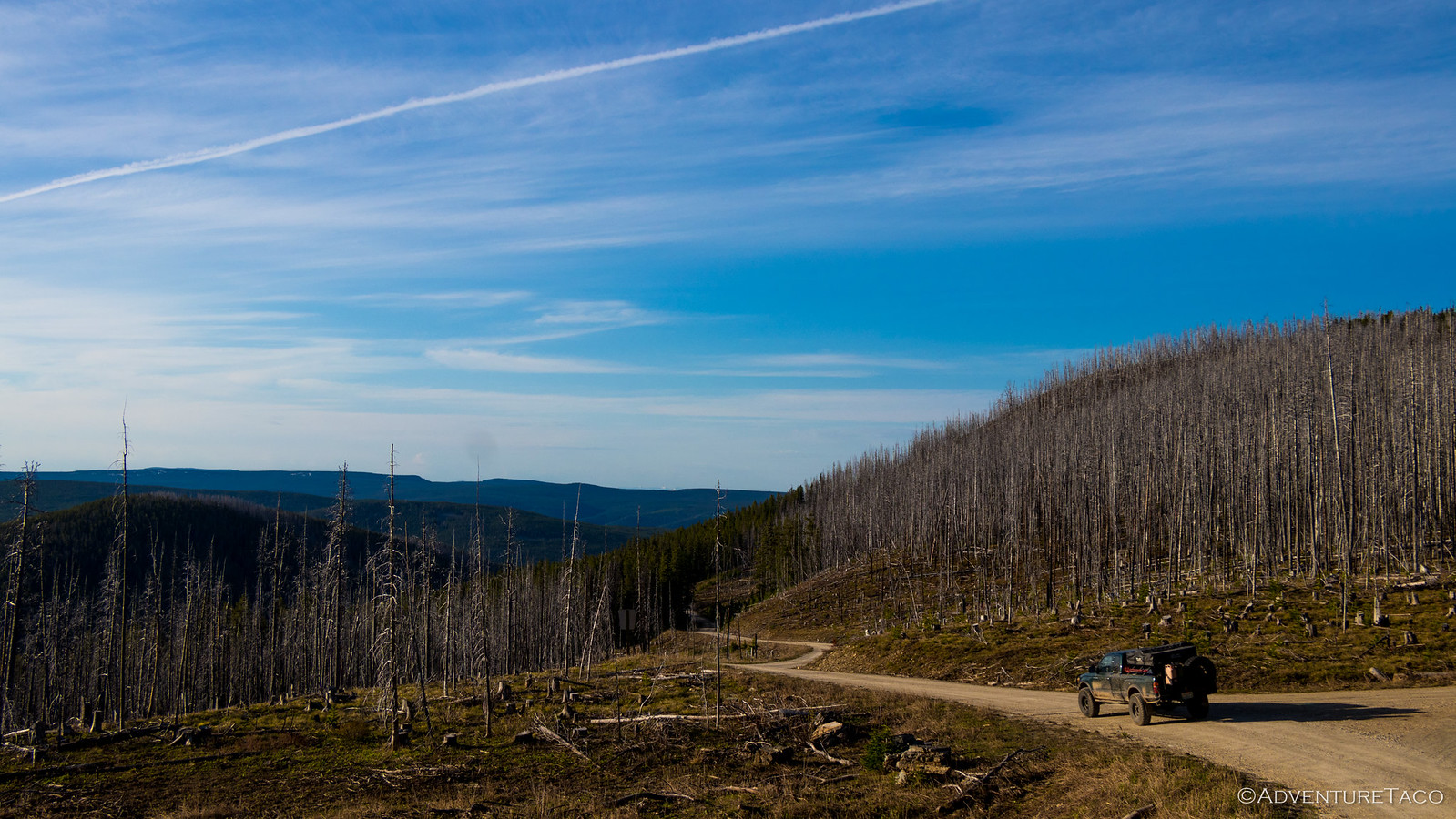
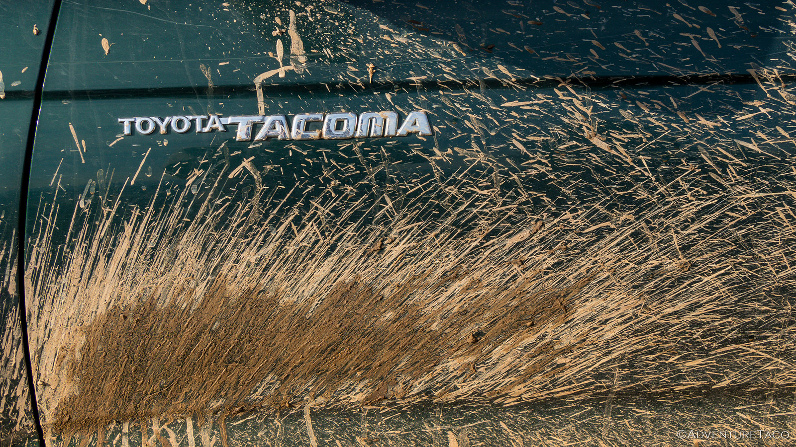
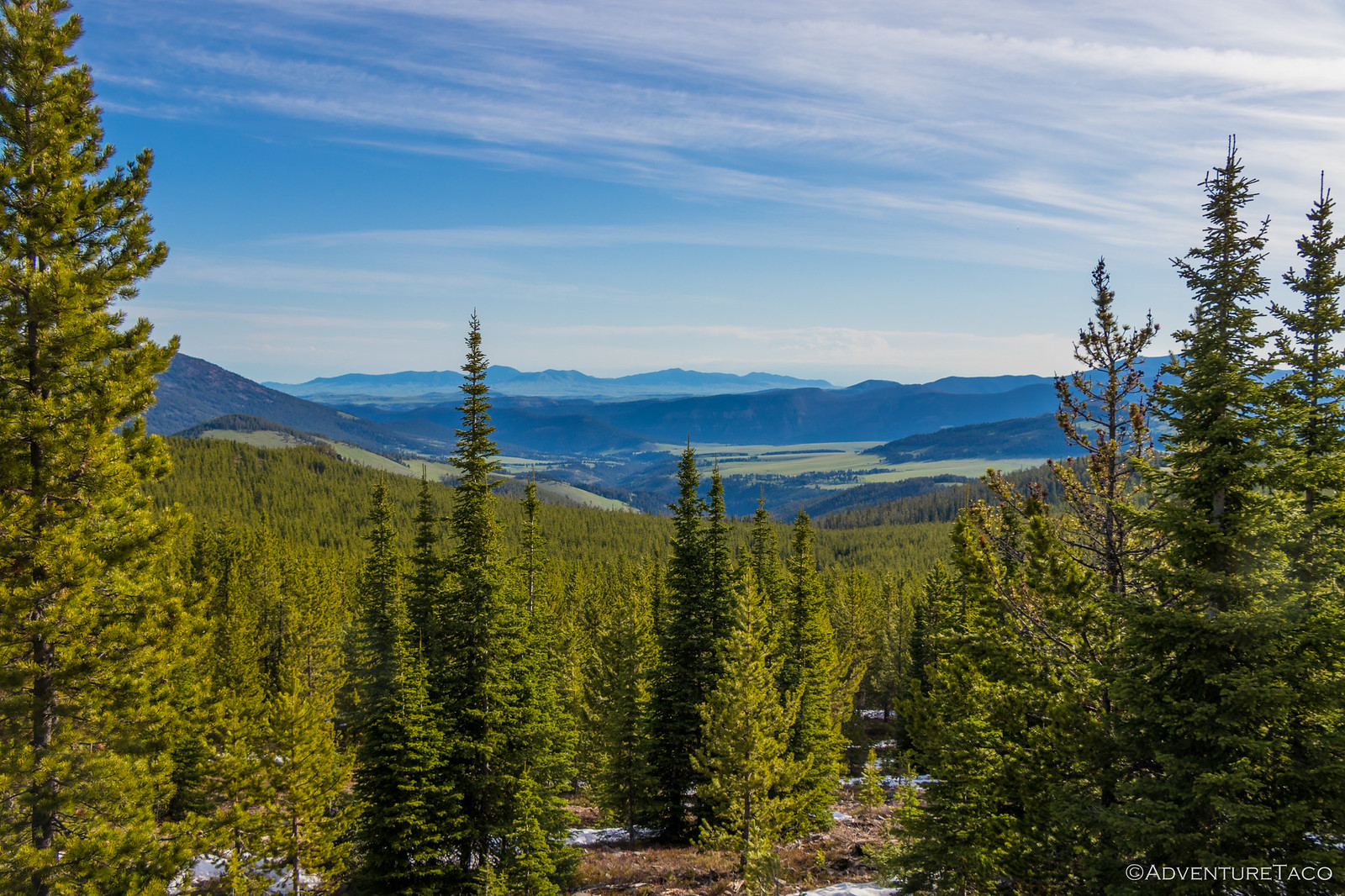
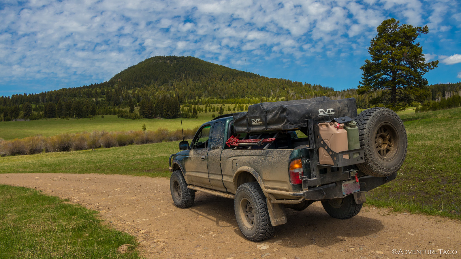
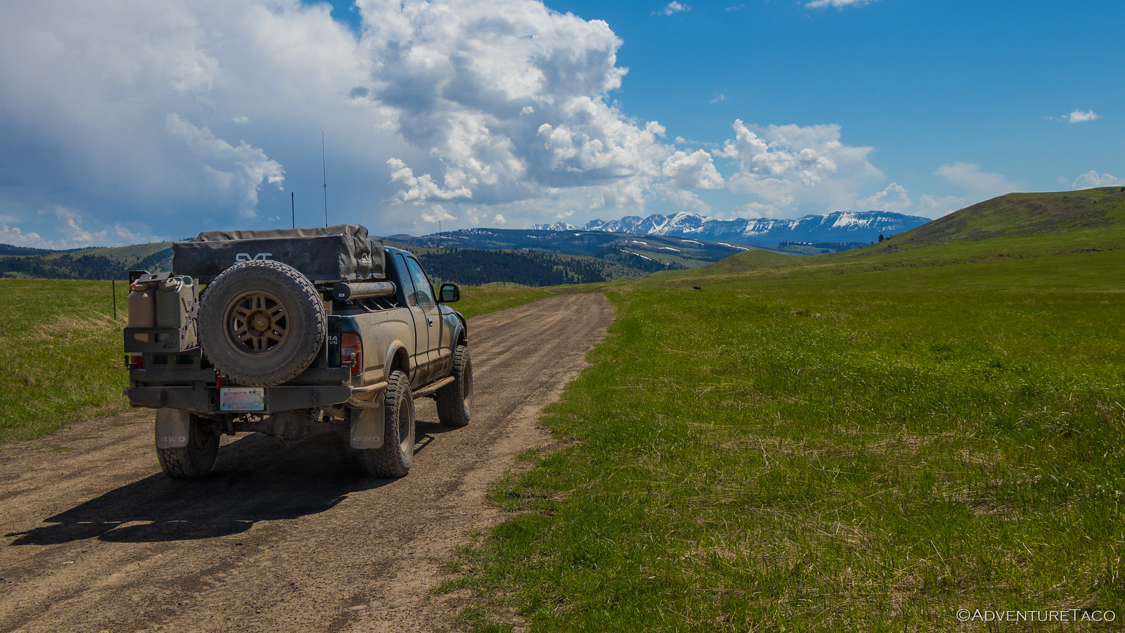
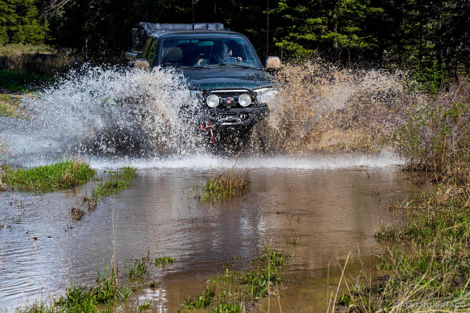
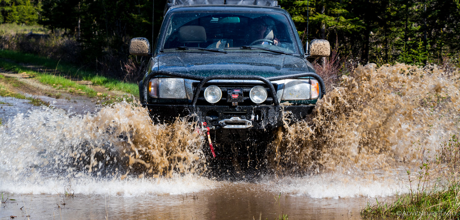
Luckily, a muddy re-route was easily accessible and we were underway in short order - once again taking in the amazing spring green that was all around.
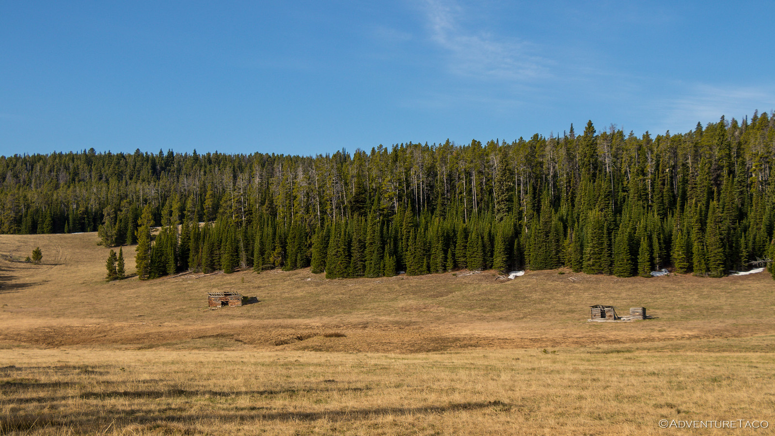
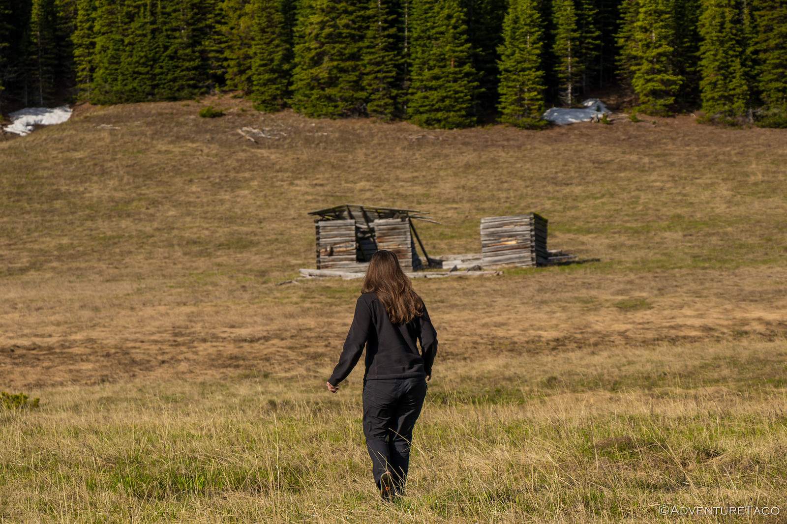
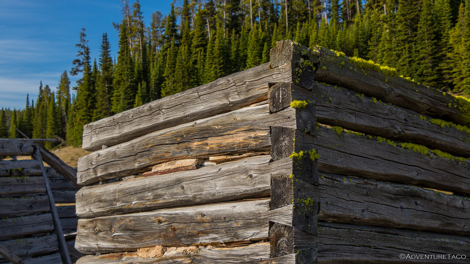
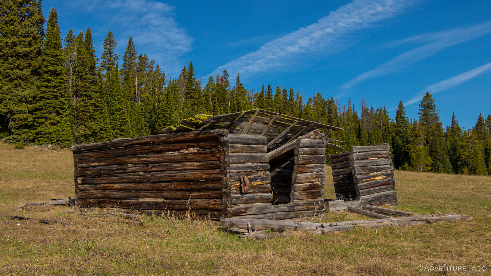
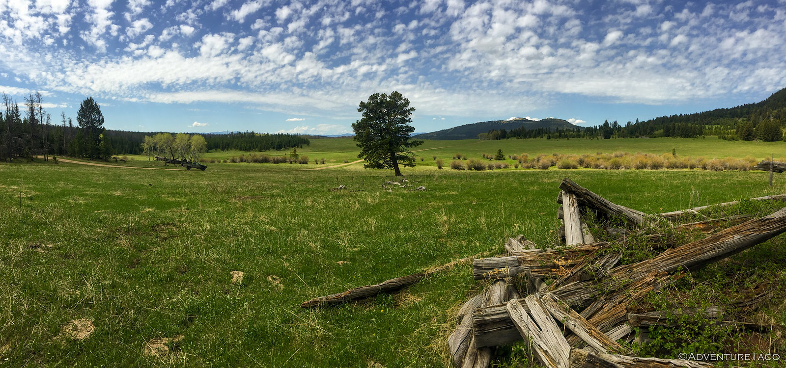
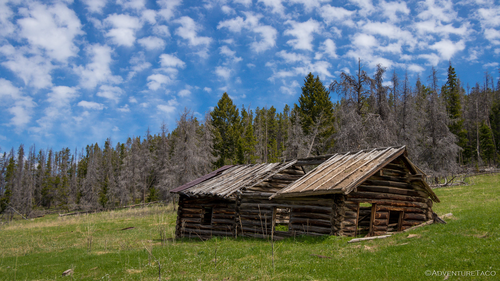
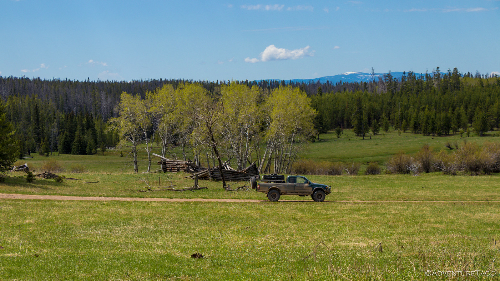
Our re-route eventually wound it's way east past an open field with a couple old cabins and we decided to check them out - after all, we had no real set goal for the trip - it was simply meant to explore and enjoy whatever we came upon. So we set out across what ended up being a very marshy meadow. The cabins were dilapidated but cool - especially the corners and connections between intermediate walls which were constructed of log-sized dovetails! Imagine cutting those with an axe.
Eventually we pulled ourselves away and continued east towards US-89, a north-south route through Lewis and Clark National Forest, and a good "out" for any routes we found impassable. Which was good, because shortly after crossing US-89 to our next trail, we were stopped in our tracks. The sign posted at the head of the trail read "No Wheeled Vehicles," but the Motor Vehicle Use Map clearly listed it as a highway legal trail. In the end, it didn't matter - 50 feet in, the snow was impassable. We turned around an headed south on US-89 to find another way in.
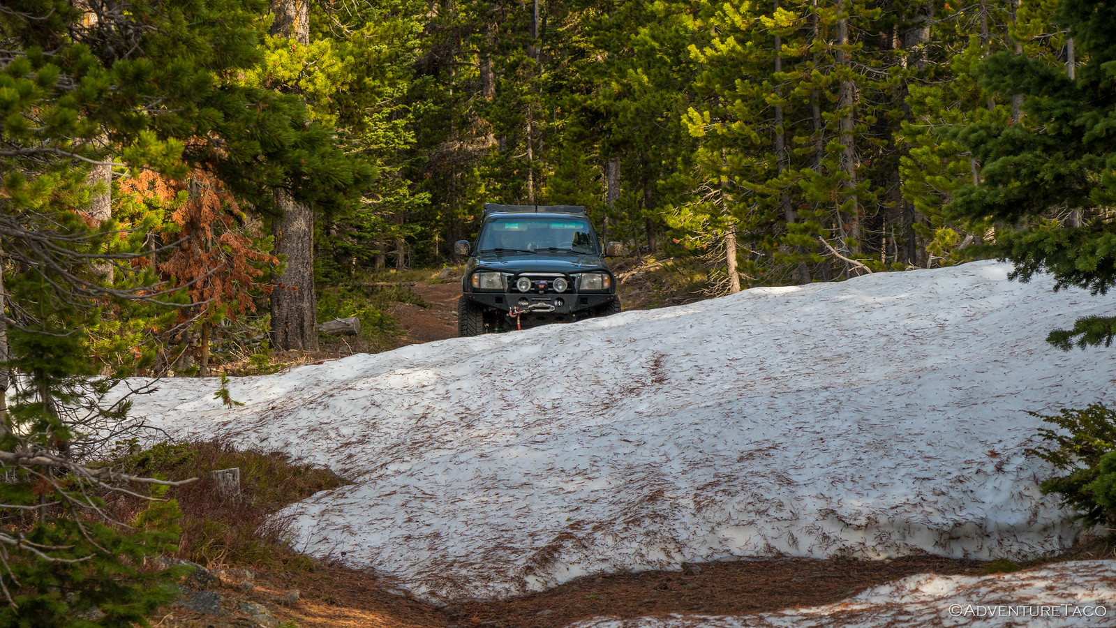
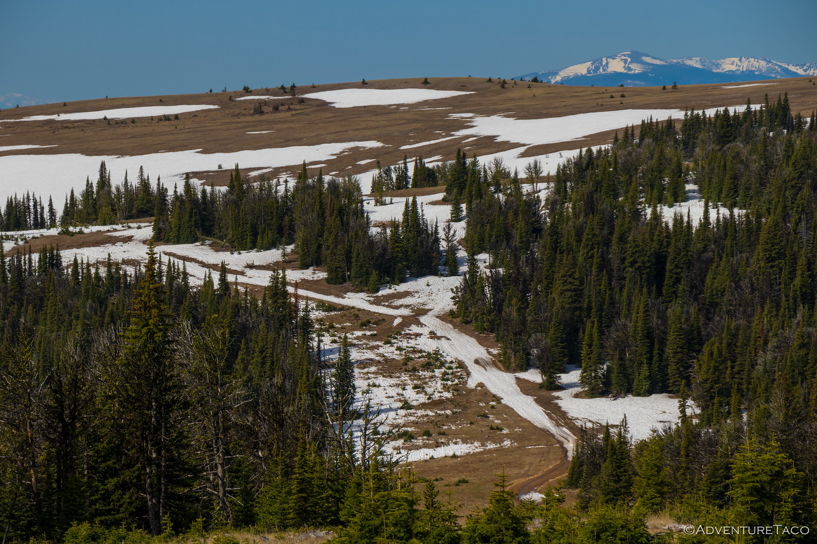
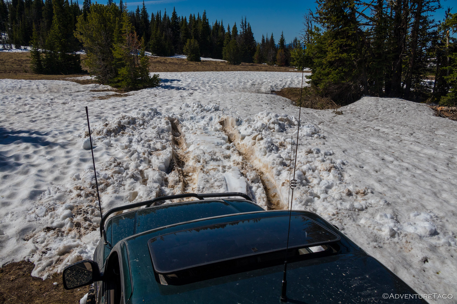
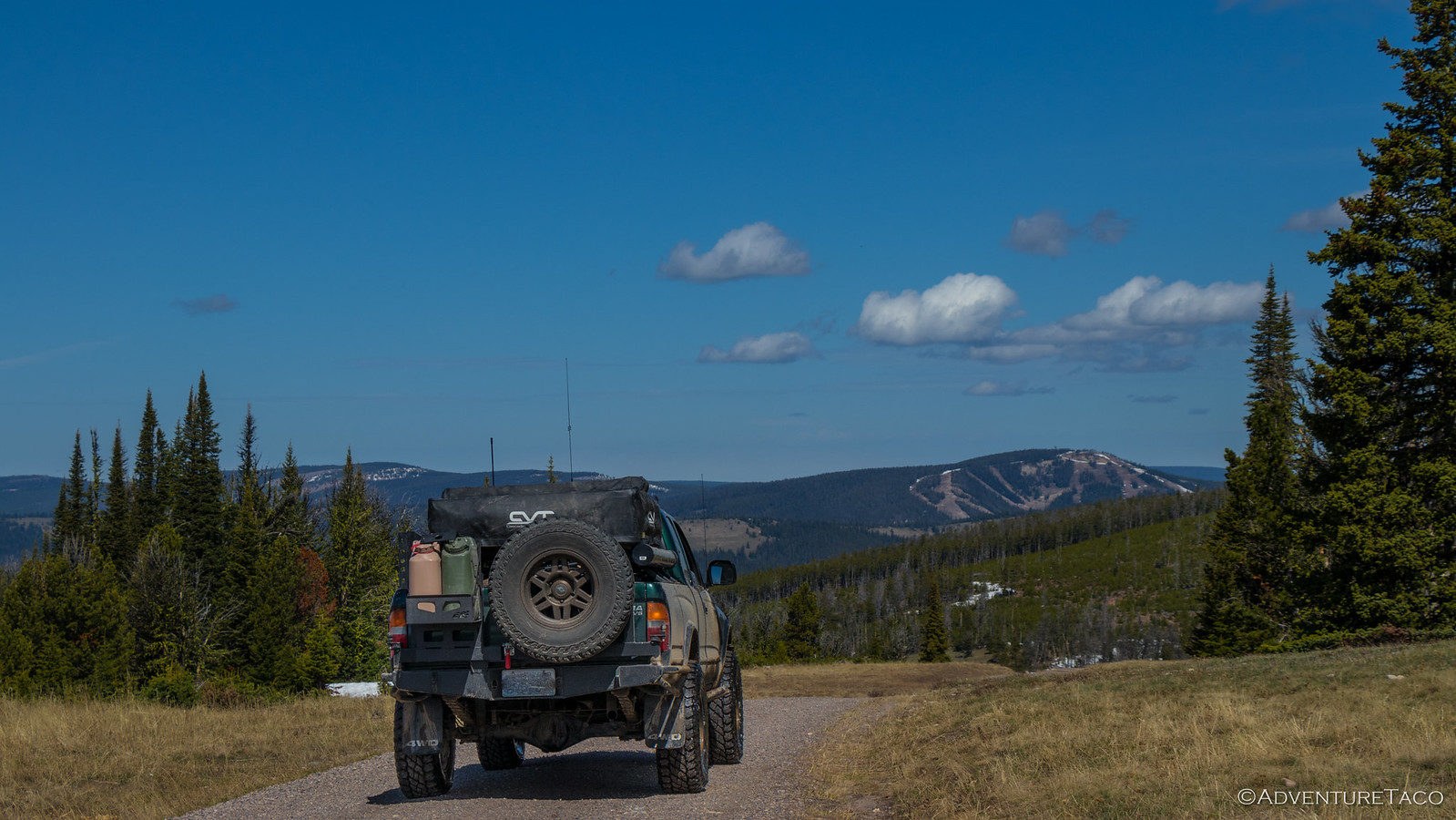
And find another way we did - a few miles down the road, we headed east up into the hills - the well-graded gravel road snow-free and plentiful camp sites starting to fill up with trailers and ATVs. Of course, the further we got from the highway, the less-traveled the road became, until we hit the top of the ridge where we were greeted by patchy drifts of snow. The wind must have blown these drifts deep throughout the winter, because here on the ridge - in the sun all day - they were still close to 18-24-inches deep on the road.
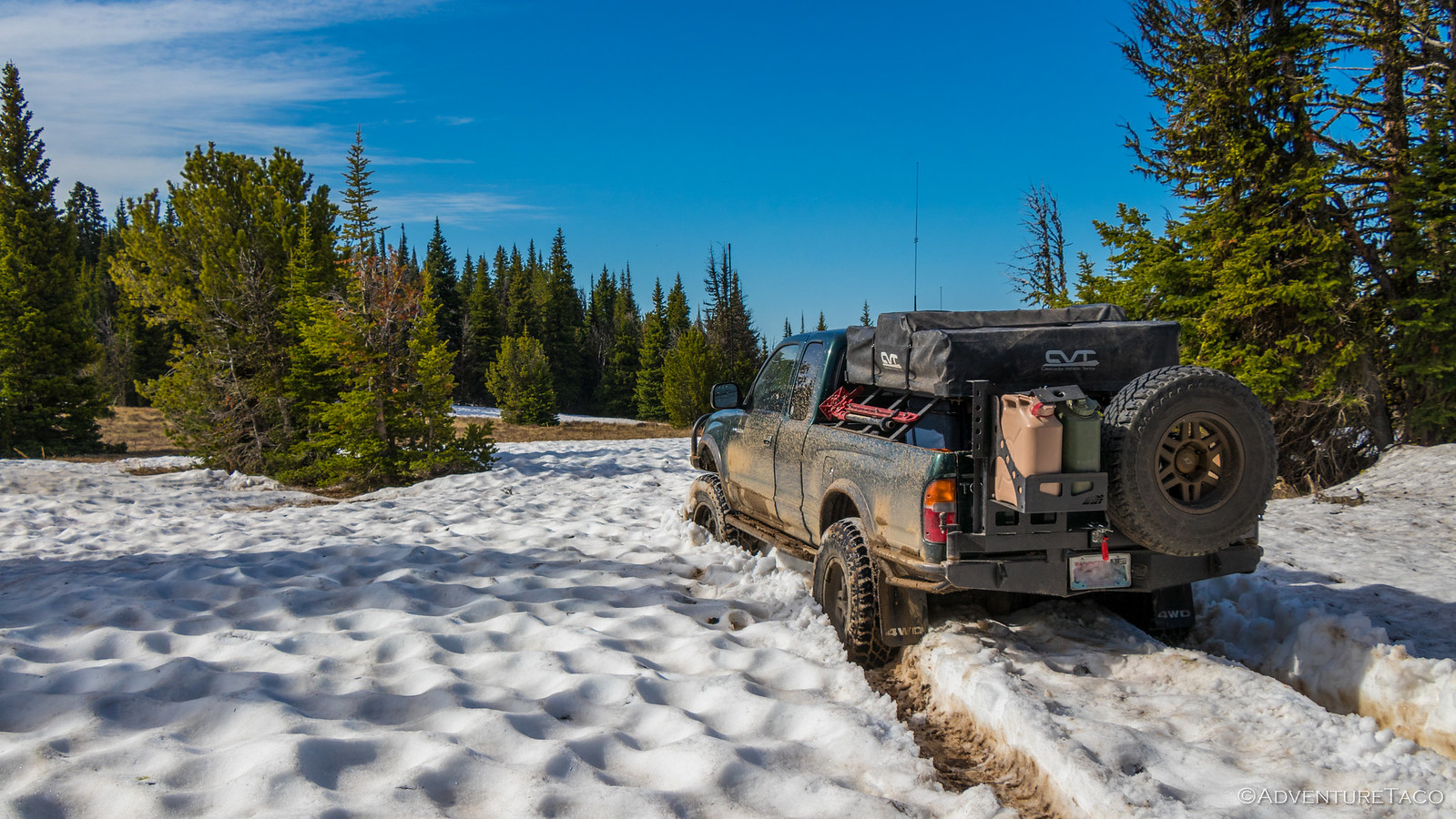
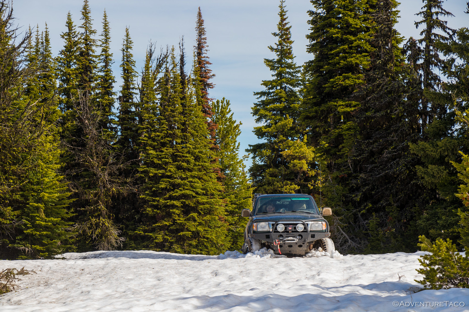
Unsure if we'd make it, but sure that it'd be awesome if we did, I engaged 4wd and the lockers and plowed ahead. Literally.
We didn't make it far - maybe 45 feet into the snow.
No big deal, I'd expected as much, so popped out to take a look further up the trail to see what the conditions were like. Much the same it seemed, our elevation near 8,000 feet - probably a good idea to just turn around and head back, despite our desire to continue on.
As I returned to the truck and put it in reverse, I looked at @mrs.turbodb and said, "Wish us luck!" I knew that having sat in the snow for 10 minutes or so, there was a good chance that the truck had sunk slightly, and that the already wet snow under the tires had likely melted even more. I hoped that the lockers were enough to get us the traction we needed to back out.
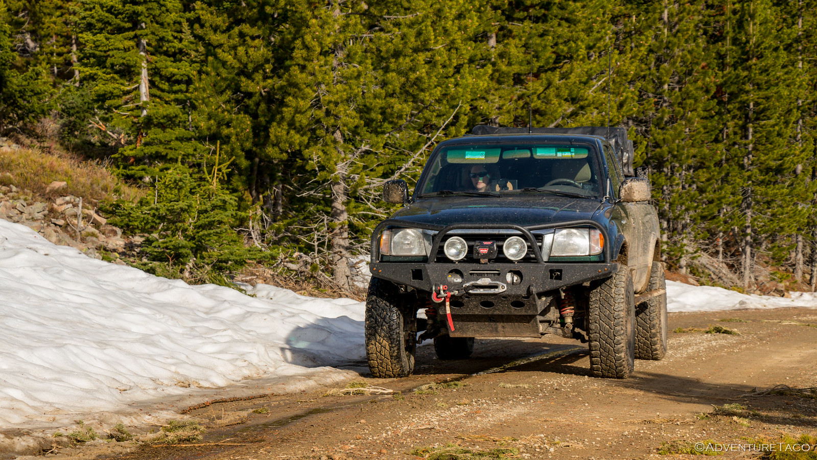
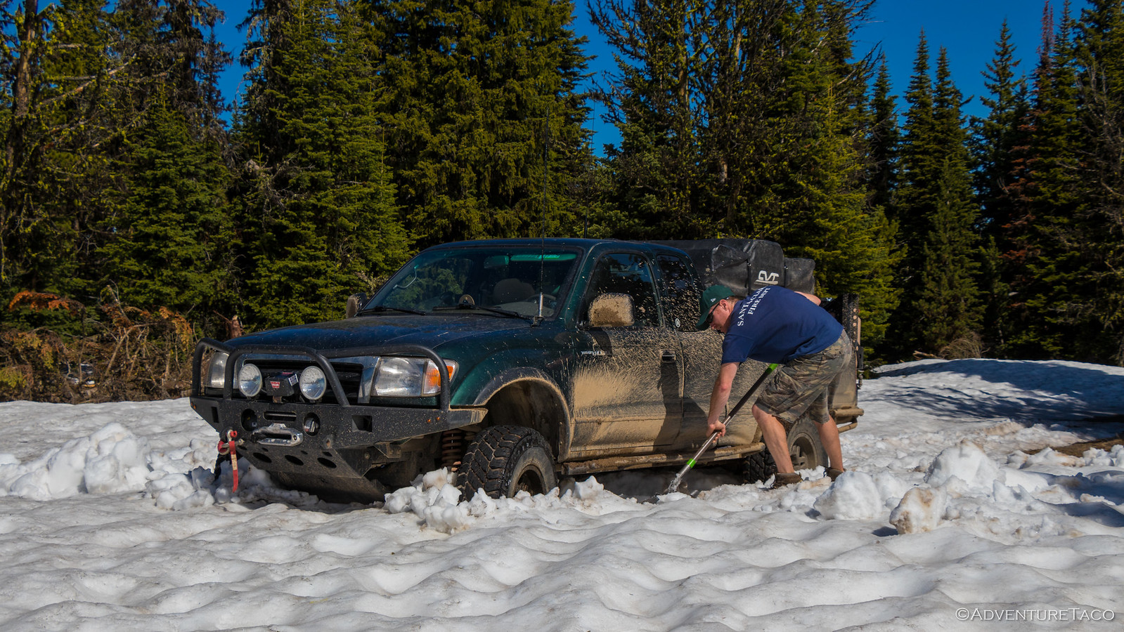
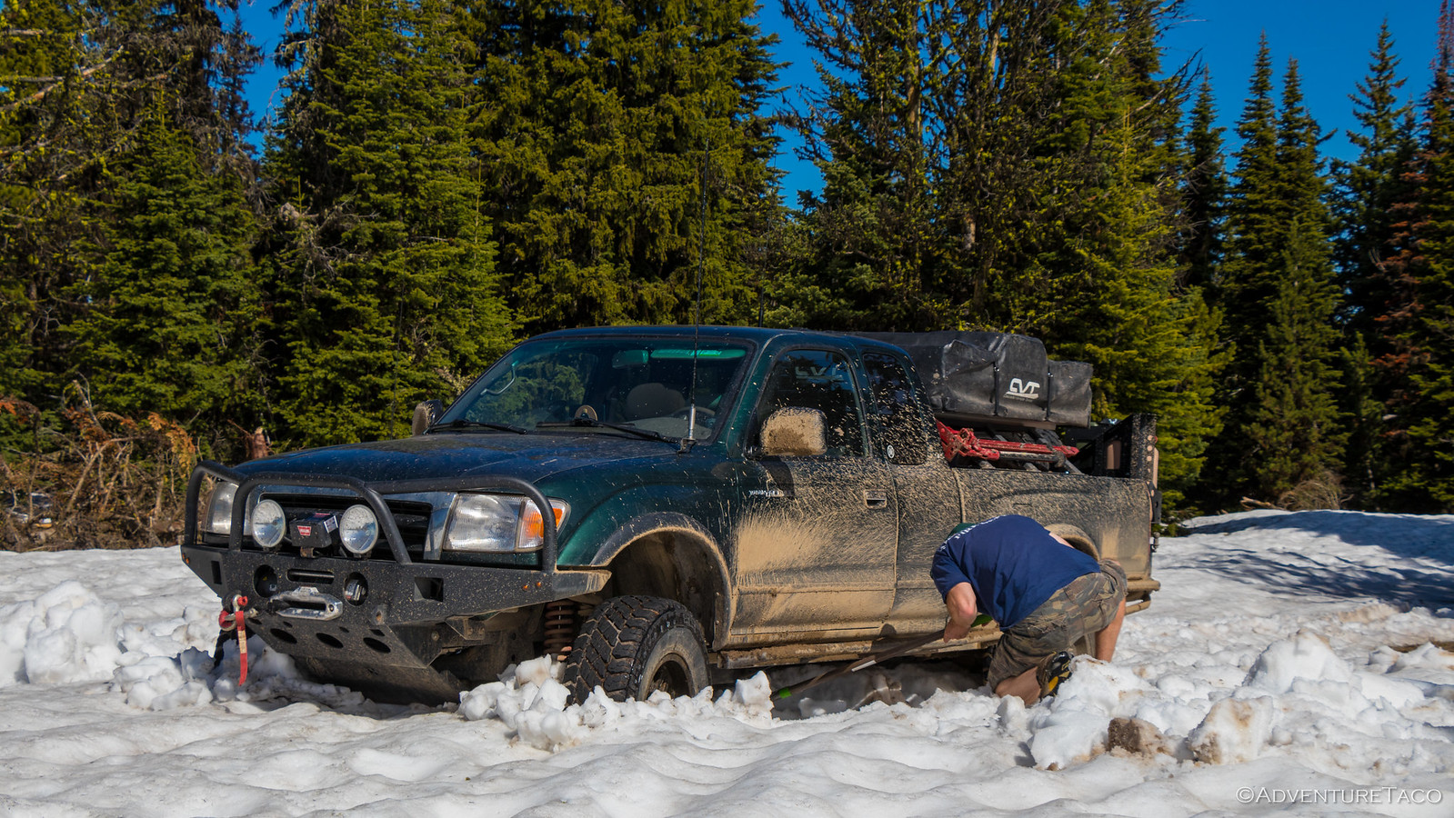
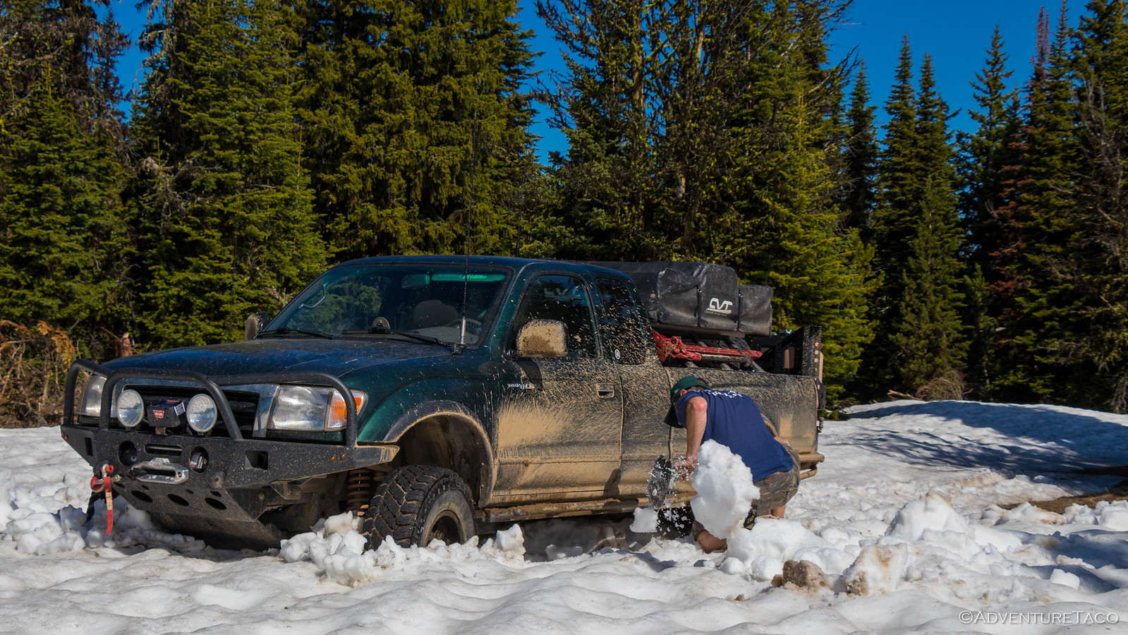
They weren't, of course. With all four wheels spinning, the skid plates holding the truck high in the snow, and no Maxtrax in sight, there was only one thing I could do: ask @mrs.turbodb to take some pictures while I dug out the truck.
Luckily the weather was great and digging snow is way easier than dirt, and after a short time I had enough snow cleared that we were able to ease our way back. We'd made it further than anyone else on the trail this year, but we'd been stopped in our tracks.
As we headed back towards US-89, it was only 10:30am but we were hungry - it'd already been a full morning!
But before lunch, we decided we'd try one more trail on our list - another spur off of US-89 that headed northwest and appeared to re-join (after about 20 miles) the same track we'd taken on our way down from Monument Peak. And I'm sure it would have, had we not been distracted by a sign that pointed west and read "forest boundary - 7 miles" some 14 miles up the trail.
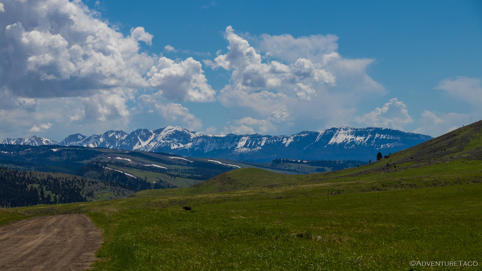
On an adventure, we headed west through what turned out to be some of the most beautiful country of the trip. Forests gave way to fields, and fields to forests. Along the way, we discovered and explored more old log structures - somehow still guarding the lands they were built on, all these years later - a testament to construction of the day.
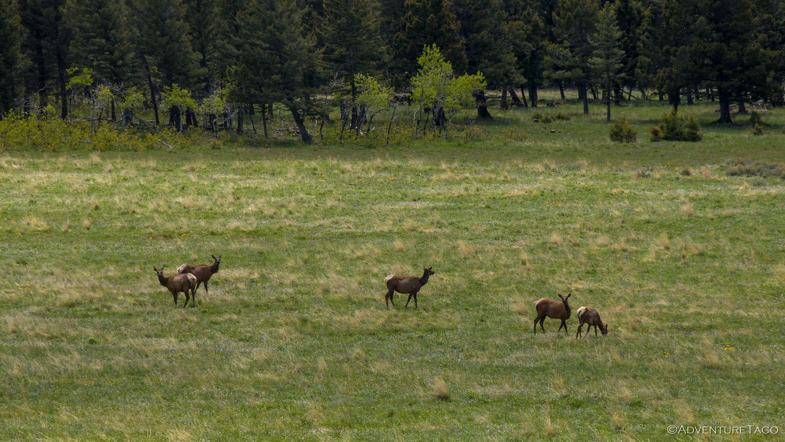
And we saw elk, deer, and antelope in numbers too great to count. And butterflies. So many Green Comma butterflies.
And then, after making our way out the west side of the National Forest, we saw a sign for White Sulfur Springs - our lunch destination. Just 37 miles down the (dirt) road, we figured we'd be there in no time to enjoy our sandwiches and quiche. Well, I'd enjoy a sandwich, and @mrs.turbodb, her quiche.
But then we ran into something you don't see every day in the city, much less in the backwoods of Montana - a house being moved. It was once again time for a poser shot. House tug-of-war.
After lunch in White Sulfur Springs, we headed out on a new mission - find a camp site for the night where Mike (@Digiratus), Monte (@Blackdawg), and Devin (@MissBlackdawg) would meet us using APRS, so we could spend the next few days exploring and hanging out around the camp fire together. After all, that's why we were all headed to this part of the state to begin with, and we were looking forward to it immensely!
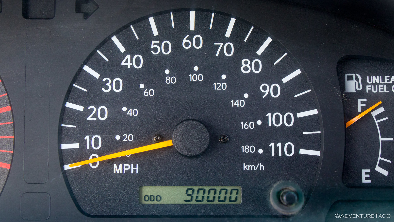
But first, we pulled over to snap a quick shot of our next mileage milestone. 90K on the truck - not bad for an 18 year old!
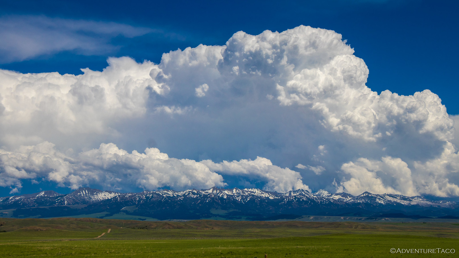
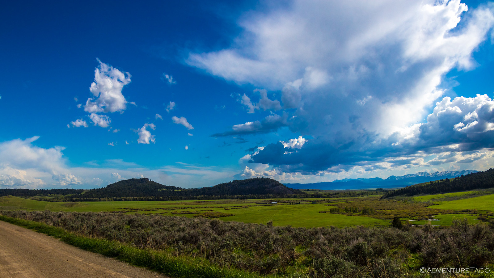
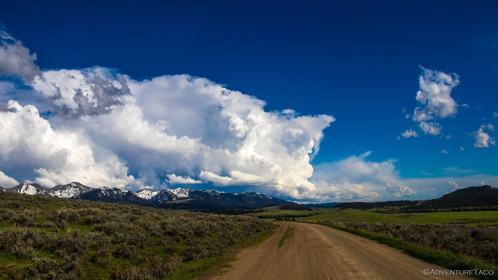
Our search area was to the south along US-89 in some patches of BLM and USFS land that we'd scoped out weeks before on Google Earth, hoping that one of them would have a great view of the Bridger Range or The Crazies and be dry overnight - thunder clouds once again forming in the early afternoon. As we headed towards the first site, things looked promising, and we appeared to be in a trough of the storm, which was being split by the mountains on either side of the site.
While our first site sported breathtaking views of the Bridger Range, it would have added a couple hours of travel for Monte, Devin, and Mike who were already scheduled to pass through Livingston between 7:00-9:00pm, so we decided to pass and search further south. As we made our way towards Wilsall, the storm clouds were building; we were definitely going to get some more weather
More searching near the northwest corner of The Crazies commenced. Snow melt and rain resulted in a few spots that were fun to drive, but a bit wet for camping, even with our RTTs!
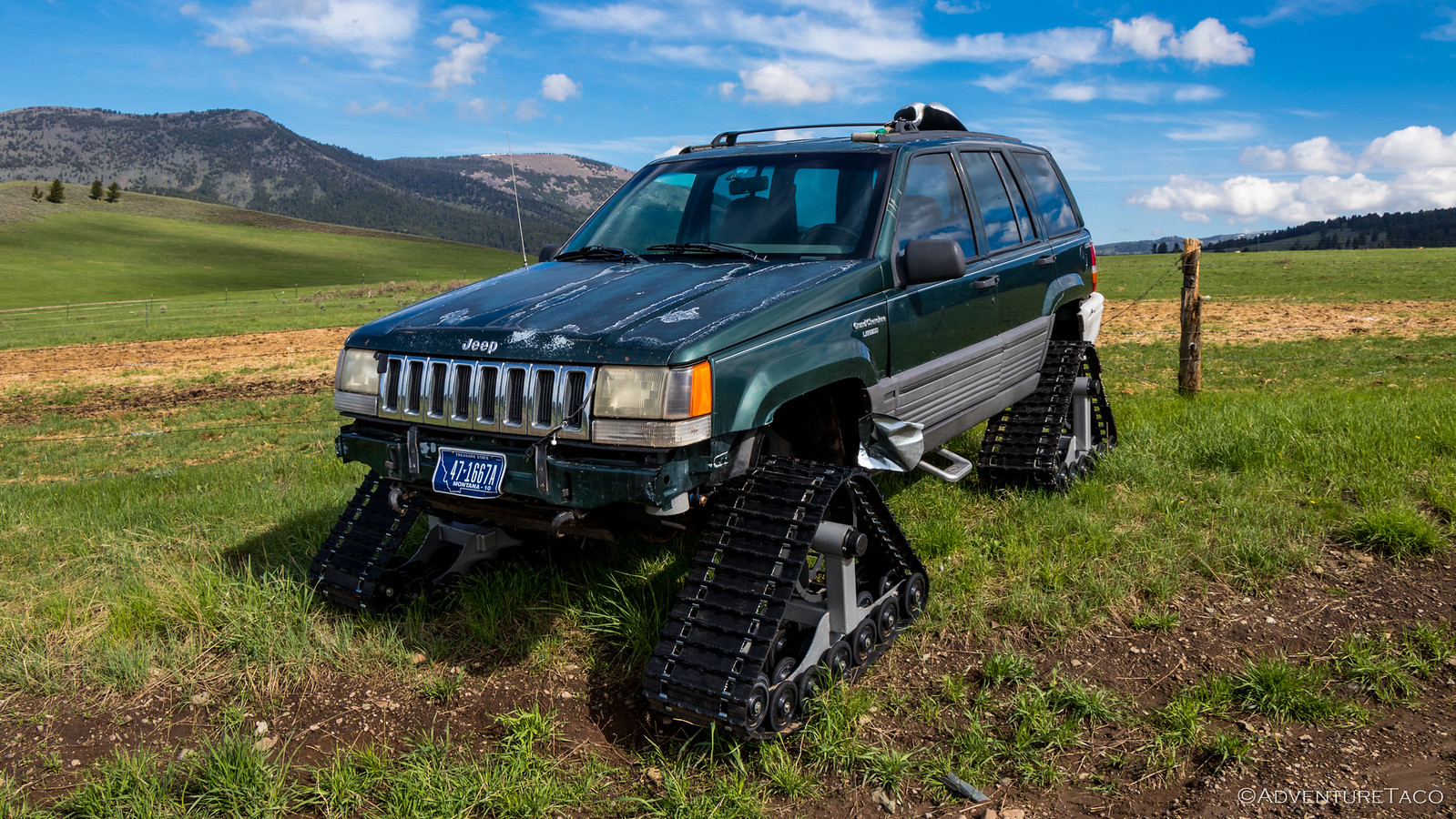
And, unfortunately, the routes into the surrounding National Forest were gated and locked - still too early in the season for vehicular traffic, which likely explained the several abandoned snow mobiles parked on the side of the road, and this beast.
Eventually though, we found a spot as evening set in. While it was just off the side of the road, it was a low traffic area and had a nice view of both The Crazies and Bridger Range. We pulled over, got comfortable, and watched as a torrential downpour headed our way across the valley.
The downpour brought not only rain, but marble-sized hail and an electrical storm that passed directly overhead. Hunkered down in the truck, we hoped that the plethora of radio antennas didn't attract a strike and that the storm would pass before morning, making it easier to get the tent put away (dry).
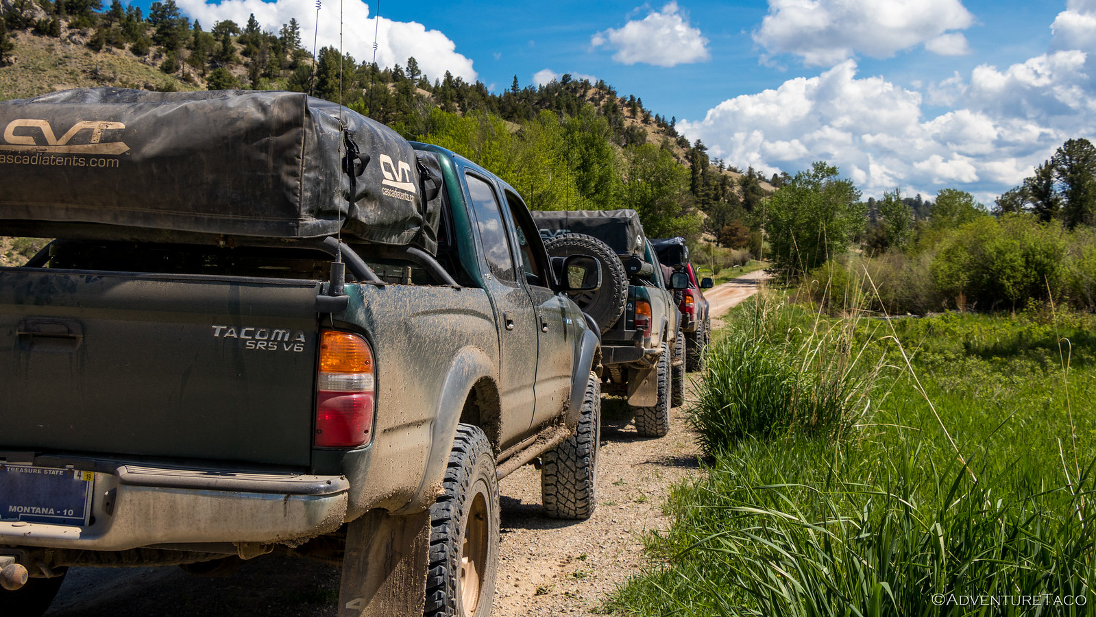
Between downpours, we made dinner (chicken strip tacos - an idea we blatantly copied from Ben (@m3bassman) and Kirsten who'd introduced us to them in on and earlier adventure in The Maze. Not long after, we called out to Mike on the ham radio and he responded! He was still a good hour away, but we were excited - here we were, 12 hours from home, and he'd been able to follow our APRS track to the same camp site!
So we read, watched the lightning, and waited for Mike to roll in with the Redhead. When he did, it was still raining so we switched over to the CBs and said our initial hellos. Eventually, as the rain let up for a few minutes we popped out of the trucks and greeted each other in person, smiles all around. We got our tents setup and contemplated a fire - Mike suggesting that Monte would expect one when he showed up. With the rain and time of night though we decided against it, and as the rain picked up again we repeated the greeting process with Monte and Devin - calling out on the ham radio at first, and finally in-person as they rolled into camp.
"Where the f@!# is the camp fire?" were the first words out of Monte's mouth. Of course, the face said  - he was happy to see us.
Devin, much more reasonable, greeted us with a grin and a "Good to see you again!"
Already late, we called it a night shortly after they arrived, excited to see what the next few days would bring, and happy to be three trucks on an adventure together, again.





Wow...beautiful country. Sounded like a great trip. (I'm finally reading about it - I have your adventures saved for when I have time). I would suggest that you carry a hoe for dragging snow out from under your vehicle. works great. UJ
Definitely a beautiful place - so much open space to explore. Hoe might not be a bad idea if I wasn't already all packed up...shovel will have to continue to pull double duty. You know, until I smarten up and don't drive into drifts that are too deep! hahahahaha