May 24, 2019.
We once again slept well - the rushing river providing a nice white noise through the dry night. In a canyon, I knew there was no rush to get up for the sunrise, and it was late (for us) before we even considered pulling ourselves out of bed.
One of the great things about this particular camp site was that it happened to be across the Imnaha River from a trailhead that had the potential to be quite amazing - a trail that followed the river downstream to its confluence with the Snake - the same confluence we'd been perched high above the day before, and the site of Eureka Bar! (More on that later.)
With cloudy skies overhead, we decided it was in our best interest to set out as quickly as possible - hopefully avoiding the any rain. So a quick breakfast and camp tear-down ensued, and we crossed the Imnaha to the trailhead just after 8:15am.
It was at that point that we were waylaid by the fishery folks who were back at the tent we'd investigated the night before - there to count how many fish they'd caught in their Archimedes-screw trap during the night. We chatted each other up for a few minutes - us curious about their operation; they curious how we even found this place - before setting off downstream.
We knew from both the book that @mrs.turbodb had as well as the fishery guys that there was going to be poison ivy along the trail, but we didn't know how much or how overgrown it would be. What we did know was that it was a pleasant 72°F and the 9 mile hike was mostly flat, since it dropped only as far as the Imnaha River over its entire length.
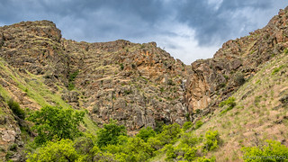
Almost immediately I was glad we'd decided to do this hike. Even if we hadn't had plenty of time, the canyon walls rising up around us were so stunning that it would have been a shame to miss it - it was, I think, my favorite experience in Hells Canyon.
Half-a-mile or so into the hike, we hit our first poison ivy. Fully leafed out, it was easy to identify - and there was plenty of it. Luckily for us, most of it - but not all - was off the side of the trail, and we did our best to avoid it. Only @mrs.turbodb got a bit of a rash - on her stomach somehow. 
We pushed forward at a steady pace, the trail in what I could only call great shape for its remoteness - something that we could thank a group of guys who'd come through a month or so earlier to cut back and spray the Himalayan blackberries that sometimes cover the trail.
As we reached the 2.8 mile mark, a large stone pillar on the other side of the river - and a geological marker on our side - let us know that we were on the right track. As if there was any option.
And here, as with the entire trail, tens- or hundreds-of-thousands of stacked rocks supported the trail next to the river, keeping it from washing out for over more than 100 years since it was originally built by the early settlers of Eureka Bar, at the confluence of the two rivers.
In 1899 a group of cagey local miners announced they had found copper ore in the granite of Hells Canyon’s inner gorge. They made good money for two or three years, selling shares of stock back East. When investments lagged, the miners claimed the copper ore contained gold. Bedazzled stockholders financed a 125-foot sternwheeler that could claw its way up the Snake River rapids from Lewiston to the new El Dorado. A town of 2000 sprang up on this remote gravel bar to build a huge gold processing mill. But on the day the steamer sailed upriver with the machinery that would finally enable Eureka to begin shipping gold, the ship lost control in the rapids, bridged the canyon, broke in two, and sank. The eastern investors lost their money. And the city of Eureka vanished as swiftly as a stranger who writes bad checks.100 Hikes / Travel Guide: Eastern Oregon
Less than 90 minutes after we'd set out, we found ourselves at three wooden bridges that signaled - at least to us - the gateway to Eureka Bar. We'd spotted these bridges the previous day from our overlook of the confluence, and it was exciting to cross them - knowing that few people ever experience them from both vantage points.
And there in front of us - just beyond the last bridge - the confluence of the Imnaha and Snake Rivers.
A confluence of two rivers this size is hard to capture from water level. With poison ivy covering the hillsides, and as a few rain drops started to fall, I quickly decided that the perfect shot was maybe not the most critical thing at this point in time - but we still wanted to explore Eureka Bar itself.
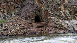
A few mine shafts - most of them short, but a couple of them deep and one with train tracks leading in - were exciting finds, as was the foundation of the 7-story gold mill that dwarfed @ms.turbodb and had never even seen the millworks, much less crushed an ounce of material.
The rain starting to pick up a bit, we knew it was time to start heading back. With 4.5 miles or so to go, we hoped that the storm cell would pass, and that we'd dry off in the warm canyon breeze by the time we arrived back at the truck. And, if that was the case, we decided that we'd take advantage of it and eat lunch - something that sounded pretty good after a 9-mile hike.
With @mrs.turbodb in the lead, we set off upstream, pausing only once to admire a deer hopping off through the poison ivy before reaching our destination.
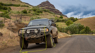
Back at the truck, we changed out of our clothes - now dry with the storm cell having passed overhead, but probably covered in at least some poison ivy - and I assembled lunch for us to eat on the river's edge. Then, it was back to Imnaha, where we aired up before continuing on towards our next destination.
This is the point where it's probably worth remembering that when we'd left Dug Bar the day before, the low fuel light had come on. That wasn't a big deal - we always carry 10 gallons of spare fuel, which I'd siphoned into the tank the previous evening - but it did mean that we were now running on the last of our fuel, and so needed to be judicious with its use.
And so, as we headed out of town and onto what suggested itself to be a fun romp on Upper Imnaha Road, I was keeping a close eye on the fuel gauge.
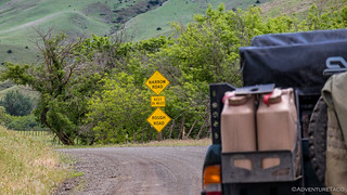
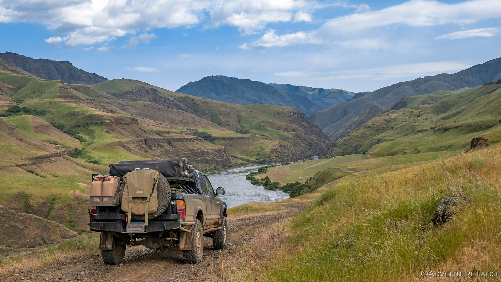
Upper Imnaha Road is a much more populus area it turned out than Lower Imnaha had been. That meant that it was reasonably well graded, but also that the additional traffic made for more potholes. Combined with the on-and-off rain showers, it was a muddy drive, but beautiful nonetheless - the mountains, clouds, and green grass surrounding us the entire way. And, as was the case with the confluence, we'd seen - and eaten lunch overlooking - Upper Imnaha Valley from Hat Point Road the day before, so it was neat to be able to get the lower-elevation perspective here as well.
An hour - and more miles than we'd expected - later, we arrived at the highway. It was here we had a decision to make. We both wanted to go to the Oxbow and Hell's Canyon Dams - towards the town of Halfway, but we didn't know if we'd find fuel that way - the only nearby fuel I'd marked on our map, in Joseph, OR.
And we didn't have enough fuel to go first to the dams, and then back to Joseph - I estimated we were a gallon or so (15 miles) shy of that mark.
And so it was that we made the decision to turn west - 38 miles and two not-officially-open-until-June-15th mountain passes to Joseph - to fill up with $70 or so of fuel before turning right back around and heading to Oxbow, a town on the Snake river, nearly to Halfway.
It was a miscalculation that cost us a good two hours of daylight - both Halfway and Oxbow had fuel stations. A good reminder for me to mark stations in a much larger area than I might originally plan to visit - in case we finish everything a day earlier and cover additional cell-service-less ground.
Live and learn. That is, if in my old age, I don't forget first! 
On our way to Oxbow, early evening already upon us - we made a quick pit stop at Hells Canyon Overlook - because if you're this far away from home, why not? It was only just "meh" compared to what we'd experienced already, and so about 45 seconds later we were back on our way.
Hells Canyon Dam - run by Idaho Power - is, it turns out, 23 miles north on a technically private road that leads only to the dam (and Visitor Center). Of course, it's paved and open to the public, so we putzed along, taking in the sights along the Snake River, here where it no longer rushed down the gorge, but meandered slowly in lake-like fashion.
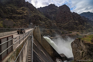
It was nearly 7:00pm when we reached the dam, and as it turns out, our timing couldn't have been better. Having missed not only the busy time of day, we'd arrived well after everyone was gone - even the employees - and that afforded us the ability to take in the dam in a way that I think few get to experience.
The power of the water flowing through that dam is incredible. 330' high, so much water was rushing through the spillway while we were on the dam that the entire concrete structure was rumbling. I mean, feel-it-in-your-body-as-you-walk-along sort of rumbling. Is-this-thing-going-to-fall-apart sort of rumbling.
It was awesome. Especially since it was a little scary. 
Eventually, @mrs.turbodb coaxed me off the dam and down to the Visitor Center, where we got three things:
- An even better view of the downstream side of the dam - very cool.
- A bunch of informational signs at the visitor center, which we both like to read - also cool.
- And a warning that "if horn sounds or dam breaks, seek high ground" - completely useless, given that high ground was only available on the other side of the dam.
Thanks Idaho Power. 
By now though, it was getting to be time to find camp, so we headed back the way we'd come and found a splendid little jut out into the lake-river where we could make camp, have dinner, and enjoy the last night of the trip. And where Idaho Power had erected a sign: "Danger Dam Ahead." As if you could somehow miss it, or drive a boat over it.
Dinner was quick - some chicken-finger tacos with avocado salsa - a good thing™ because just after we finished cleaning up, it started raining. Light at first, we climbed into the truck to read a bit before getting in the tent, but the rain continued to fall.
It eventually let up just enough that @mrs.turbodb decided to go to the bathroom, at which point the skies let loose a barrage of dime-sized drops that soaked everything in seconds, including anyone silly enough to have tried to squeeze in a bathroom break.
It'd been another full day as we climbed into the tent, and with the rain continuing to fall on top of us, I hoped it'd let up by morning so we could dry everything out.
- - - - -
We Head North to Another Adventure
May 25, 2019.
The morning did bring drier - if still a bit cloudy - skies, thankfully. Up at sunrise since we had an extra-early departure scheduled, it wasn't warm or breezy enough to dry everything out completely, but we did get the tent mostly dry before putting it away for the day.
And then we were off - our destination not home, but another adventure. The one that we'd headed east for in the first place - a Memorial Day outing with old and new friends.
...but that's another story.


