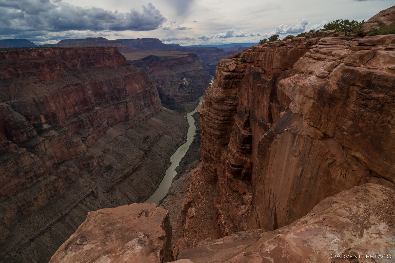
As temperatures have started to rise across the west, areas that were covered in snow or otherwise too cold to wander during the winter are once again opening up. And, while I have an endless list of desert destinations to explore, it's always an exciting time to venture beyond the confines of the Mojave and Sonoran deserts that we've recently called home.
And so, we're headed to Utah. There, San Rafael Swell and Cedar Mesa will be our destinations. Like the desert, an infinite number of days could be consumed savoring the sandstone formations, deep canyons, and Native American Indian history that covers this part of the country. This time, we're headed back - in a sense - to places we've seen before. This time, however, we'll be approaching them in the opposite direction; seeing them from a new perspective, by exploring them from the other side.
Or at least, that was the plan until reality set in.
Parowan Gap
After arriving in Las Vegas just before midnight, we retrieved the Tacoma and within 45 minutes we found ourselves climbing into the tent along the edge of the Muddy Mountain Wilderness for a few hours of sleep. It was warm and not too windy.
Parowan Gap wasn't really part of my "other side" plan, but it was - almost - on the way from Las Vegas to the western edge of the San Rafael Swell. Having visited on another trip - where I was having trouble finding what I was looking for - I knew that @mrs.turbodb would enjoy the prolific rock art, so we made a small detour to check out this ancient passageway.
I missed the turn I'd planned to take to Parowan Gap, so we ended up approaching it from the "other side" by accident!
There are many amazing rock art sites, but the Parowan Gap - for good reason - is one of Utah’s best-known. Located in a 600-foot-deep notch through the Red Hills - on the eastern edge of the Escalante Desert - it is overflowing with bright petroglyphs in some of the most amazing patterns.
Of them, it was the Zipper Glyph that I most wanted to show @mrs.turbodb.
A migration story.
The petroglyph before you tells the story of the migration from old world to new. It depicts a long trail on which many experienced famine, drought, water crossings, cold, ice, and hot sun. The panel also talks of a great Leader. When the people arrived in this new land, conflict arose and the Leader was killed. The arrow inside his head, which touches the top of his head, indicates he knew he would die. The full petroglyph depicts the Leader. He is shown only as a head and body (no arms) and upside down to indicate that he died.
The Paiute Indian Tribe of Utah.
The Zipper Glyph.
From the Zipper, we followed a familiar path, first walking the north side of the gap, then back on the south. It was fun to experience it a second time, but even more fun to watch my companion as she searched for the various panels and designs that I'd found on my previous visit. Unlike some petroglyph sites, the images here remain so vivid, that they are extremely enjoyable to discover.
Eastern panel.Mouse Man.Snake panel. (left) | A water story. (right)Parowan Gap boulder.South-side petroglyphs.
It was as we were walking back along the southern side of the gap that @mrs.turbodb noticed a glyph high above the rest. It was some letter, she thought, as she reached for her binoculars to get a better look. But I recognized the symbol immediately. This was no letter. This was proof of a conspiracy.
Steve Jobs may have convinced many that he pioneered the personal computer, but the Command Button (⌘) existed long before Apple.
With many miles yet to cover before the main event of the day - and, having skipped breakfast, both of us starting to feel a bit peckish - we only spent 30 minutes gazing up at the walls. Then - a few minutes before 11:30am - we were once again settled into the Tacoma and racing our way north towards lunch.
Hondu Arch
Hondu Arch.
I forget who it was exactly, but after our first visit to the San Rafael Swell when we'd visited Tomsich Butte, someone asked me if I knew that it was possible to hike onto the top of the Hondu Arch from the west. I hadn't known that at the time, but immediately on hearing it, I knew it was something I'd be working into a future trip.
Finally, three years later, today was going to be the day. Having first mapped out the route using satellite imagery, I'd recently discovered that it was also highlighted in - Hiking & Exploring Utah's San Rafael Swell - a book I'd recently acquired at the suggestion of Randy, who always seems to find the most amazing locations to lose himself on the Colorado Plateau.
It was 2:15pm as we exited I-70 and headed south through Mussentuchit Wash. With a full belly, it was prime post-lunch - or pre-dinner - napping time for my partner as the landscape morphed into the sandstone and mesas of this iconic land. Recently graded - or at least, lightly-travelled-since-the-last-grading - roads make the going quick as we raced towards the trailhead.
The perfect day for something that would turn out to be stupid.It was "as though God sprinkled boulders, like salt, across the landscape," @mrs.turbodb would later say.Approaching East Cedar Mountain.
Even maintaining near-highway speeds, the jumping off point for our hike required nearly an hour of driving, so it wasn't until 3:15pm when we arrived at the John's Hole Overlook. Knowing that this was going to be a dramatic moment, I made sure to wake my partner in crime as the road veered toward the canyon rim.
A worthy view.
For the last two miles, we wound our way along the edge - perhaps a little too close for some who were not behind the steering wheel - to a narrow finger that jutted out into the abyss. This - the spot where the road ended and a fire ring perched precariously - would be both our trailhead and camp site for what I envisioned being the highlight of the day - if not the trip!
End of the road.My top-5 list of camp sites is quickly filling with similar views.
From here, the hike to Hondu Arch - as I'd mapped it - was just over 3.5 miles, one way. Mostly following the canyon rim, there were a few drainages we'd have to cross, along with several divides (saddles). Still, while I didn't remember exactly - or at all, it turns out - my feeling was that we weren't going to have too difficult a time with elevation gain or route finding. That was a good thing, by the time all of my, "I'm stopping for a photo," shenanigans are done, we tend to hike at an average of 1- to 1.5-miles per hour, meaning that we were getting back after the 8:22pm sunset, for sure.
Luckily, I knew this was likely to be the case, and I laid the whole thing out to @mrs.turbodb as we readied ourselves to go. Not one to generally enjoy hiking in the dark - a situation made more common given my propensity to squeeze in "one last thing" - she appreciated the heads up, as well as my reassurance that we'd definitely make it to the arch, and that it'd just be a "familiar" return trip when we'd be using our headlamps.
The rim looked simple enough from this vantage point.Ready to go, Tomsich Butte in the distance.
Besides getting a late start - it was only a few minutes before 4:00pm when we finally got underway - the afternoon had turned windy as we'd made our way towards John's Hole. Now, as we followed an old, closed, ATV trail through the Muddy Creek Wilderness and along the edge of the canyon, 45 mph gusts threatened to blow our hats - and us - into the abyss.
The western edge of the San Rafael Swell anticline.Muddy Creek has been hard at work."I'm stopping again." --me
The first mile or so went reasonably quickly, with my description of the hike proving to be accurate. Then, we reached the first divide. It was awesome!
A narrow bridge of rock between two mesas, @mrs.turbodb was not delighted. She's not terribly scared of heights, but with the uneven surface, gusty winds, and knowledge that we'd be doing this again in the dark, she was less-than-thrilled with the situation.
"I'm not loving this." --@mrs.turbodb
Of course, she made it across like a champ, and as I once again began leading the way, it was soon me who turned around to her and suggested, "this might be the end of the trail for us!"
What I'd recalled as a reasonably flat hike seemed to end with us along a canyon finger. 15-feet wide and punctuated on three sides by a sheer 50-foot drop, if we couldn't find a way down, we were in no danger of getting back to camp under cover of darkness.
After a few minutes of searching, I found a route down. @mrs.turbodb followed.After a short downclimb, we were off the top of the finger and back onto a faint trail.Trying to stay positive, I wasn't sure that my route down was going to get us very much farther. This was getting a little narrow, even for me.
Heading out the narrow path of the finger, I wasn't surprised when I heard @mrs.turbodb suggest that I continue on without her. Luckily, just as she said that, I reached a point where a gap opened up in the tall vertical wall, allowing us to avoid the narrowest part of the trail that hugged the base of the sandstone.
We couldn't see this gap at all from the sunny side. Unfortunately, finding it didn't suddenly solve all our problems.
Making our way through the gap, the situation didn't look fabulous on the other side. Extremely steep, the only way down seemed to be a sheep trail. Somehow, I convinced my companion to continue on, assuring her that we would turn around if things started to get too sketchy, and that once we got to the bottom of this steep section, we'd probably have to turn around anyway, since neither of us could see where the trail went from there.
Pretty flat trail. Just need to get down, then back up to the saddle on the right side of that butte. "No problem."
Ultimately, we were able to make our way down the steep section of trail, and then traverse - following the tracks of a bighorn sheep - nearly a half-mile through seemingly impossible terrain, to the saddle. From there, it was a "simple" matter of dropping down into the adjacent wash and following it back along the opposite side of the ridge to the rim of the canyon, and the next divide.
We certainly couldn't complain about the views.Back on the rim of the canyon, we could see the finger on which we'd begun, and the glint of the Tacoma's windshield!
It was at this point - now 6:30pm - and only halfway to Hondu Arch - that I knew there was no way we were going to make it to our destination. Not just because of the time, but because it was clear that the remainder of the trail was only going to get more difficult. Not only had the route I'd mapped on satellite been incorrect - leaving us without a GPS track to follow - but the actual route climbed up and over the next finger, rather than skirting around it. Aptly named Slaughter Point, there was no way that the more intelligent of the two hikers was going to follow me up that slope.
We could see a faint sheep trail, but I was reminded that we are not sheep.
And so, somewhat reluctantly, we found a spot that was sheltered from the wind - now gusting beyond 50 mph - and dug into the turkey sandwich we'd brought along just in case we were hungry when we arrived at Hondu Arch. Even in defeat, it tasted fantastic, and the view couldn't be beat.
The perfect place to enjoy a Turkey Tom from Jimmy Johns.
While not easier, at least we knew the route, making our return to the Tacoma a reasonably straight-forward - and quicker - affair as compared to the outbound leg of our misadventure. Along the way, we once again admired the views as we clutched our hats to our heads and fought against the wind we hoped would subside before we had to setup the tent on the rim of the canyon.
Gap sunstar.Golden glow.
We arrived back at camp well before sunset, melting into the still, warm air of the Tacoma's cab, relieved to finally get out of the wind. Somehow, here in the middle of nowhere, we had cell service, and after a quick check of the weather we discovered that the wind would subside a couple hours after sunset - and right about the time we'd normally climb into bed.
So, after eating the remaining sandwich (and cookie) we'd picked up for dinner, we whiled away the time with a bit of photo processing, reading, and solitaire as gusts buffeted the truck along the edge of the canyon.
As the winds died down around 10:00pm, I ventured back outside to try to replicate a technique I'd seen Mike @mk5 execute much more successfully than I was able to achieve here. I assure you, it is not because he has a better flashlight.
And with that, we headed to bed, the first of two goals for the trip, unrealized. As we nodded off under a moonless sky, we could only hope we'd have better luck the following morning. We'd be hunting for a little-known ruin on the opposite side of the state. A search that - as I'd mentioned to @mrs.turbodb - I thought had a 10% chance of success, as compared to the 90% odds I'd given the Hondu Arch.
My first trip to the Swell was in 1977. The Wedge did not have a trail along it like now. The whole mesa was wide open with interspersed trees. You could park anywhere. Then the ATV’s discovered it followed by the large camping trailers. End of story.
Kudos for trying to climb Hondu. We were out there two weeks ago and saw it from a distance.
Interesting about the cell phone coverage. I have Consumer Cellular. I get one bar at home 15 miles from SF and four bars near Temple Mtn in the Swell.
turbodbJune 2, 2024
Places getting discovered can definitely lead to their overuse, and there's certainly a balancing act that I try to walk with some of my stories for that reason. And of course, I never post coordinates because then it's just too easy for the insta-crowd to decide they need to go there in their Civic.
We'll get back to Hondu. It wasn't really all that technical - at least, there wasn't anywhere we needed ropes - but it was long and slow going; the gale force winds didn't help make us feel more secure. With more time, it was a beautiful hike, and - I imagine - gives a view of the arch that not many see.
Sounds like you've been enjoying the Swell for quite a while! I've got a few more places there I'd love to visit. And by a few, I'm sure I mean "more than I can fit into my lifetime." 😉
john moranJune 2, 2024
Another excellent adventure and wonderful photos, thanks so much for sharing! My experience, over the years, in hiking after dark is that thing look much different in the dark and even backtracking can be difficult, especially on poor trails. Getting lost in the dark can be scary and as some local hikers in the past several years proved, deadly.
turbodbJune 2, 2024
Thanks John! After-dark hiking is definitely a different beast that comes with an entire set of risks not associated with daylight, and that must be planned for. One of the things we always do - to avoid the "lost" bit, is to bring a gps device that's constantly recording our route. Then, if worse comes to worse, we can "blindly" follow our track to get back.
Still, the obvious - and safest - solution is the one we employed on this adventure - head back with enough time to arrive before sunset (or just after)!
David DevoucouxJune 3, 2024
Amazing Photos! (as usual!)
But the hike got to me. I used to hang off cliffs, out of helicopters and planes, whatever it took to "get the shot"! Not anymore. I got queezy just reading and looking at the pictures!
I'm afraid of heights now.....sigh!
Thank you, Dan. Appreciate the journey even if my tummy wasn't pleased!
David
P.S. Those petroglyphs...amazing....
turbodbJune 3, 2024
Thanks David! That one section of the hike - especially not really knowing where the trail went - was pretty interesting (and intense)! I was glad we were able to find a way through - literally - but in the end, the terrain (and time) got the better of us. Just another reason to return in the future and spend a full day making our way out and back to the Hondu!
Always appreciate hearing when you enjoy the stories, keep the comments coming! 👍


My first trip to the Swell was in 1977. The Wedge did not have a trail along it like now. The whole mesa was wide open with interspersed trees. You could park anywhere. Then the ATV’s discovered it followed by the large camping trailers. End of story.
Kudos for trying to climb Hondu. We were out there two weeks ago and saw it from a distance.
Interesting about the cell phone coverage. I have Consumer Cellular. I get one bar at home 15 miles from SF and four bars near Temple Mtn in the Swell.
Places getting discovered can definitely lead to their overuse, and there's certainly a balancing act that I try to walk with some of my stories for that reason. And of course, I never post coordinates because then it's just too easy for the insta-crowd to decide they need to go there in their Civic.
We'll get back to Hondu. It wasn't really all that technical - at least, there wasn't anywhere we needed ropes - but it was long and slow going; the gale force winds didn't help make us feel more secure. With more time, it was a beautiful hike, and - I imagine - gives a view of the arch that not many see.
Sounds like you've been enjoying the Swell for quite a while! I've got a few more places there I'd love to visit. And by a few, I'm sure I mean "more than I can fit into my lifetime." 😉
Another excellent adventure and wonderful photos, thanks so much for sharing! My experience, over the years, in hiking after dark is that thing look much different in the dark and even backtracking can be difficult, especially on poor trails. Getting lost in the dark can be scary and as some local hikers in the past several years proved, deadly.
Thanks John! After-dark hiking is definitely a different beast that comes with an entire set of risks not associated with daylight, and that must be planned for. One of the things we always do - to avoid the "lost" bit, is to bring a gps device that's constantly recording our route. Then, if worse comes to worse, we can "blindly" follow our track to get back.
Still, the obvious - and safest - solution is the one we employed on this adventure - head back with enough time to arrive before sunset (or just after)!
Amazing Photos! (as usual!)
But the hike got to me. I used to hang off cliffs, out of helicopters and planes, whatever it took to "get the shot"! Not anymore. I got queezy just reading and looking at the pictures!
I'm afraid of heights now.....sigh!
Thank you, Dan. Appreciate the journey even if my tummy wasn't pleased!
David
P.S. Those petroglyphs...amazing....
Thanks David! That one section of the hike - especially not really knowing where the trail went - was pretty interesting (and intense)! I was glad we were able to find a way through - literally - but in the end, the terrain (and time) got the better of us. Just another reason to return in the future and spend a full day making our way out and back to the Hondu!
Always appreciate hearing when you enjoy the stories, keep the comments coming! 👍