I'm pretty sure it didn't rain all night. It was amazing. You can imagine my surprise when I awoke just before sunrise and could see blue sky along the entire horizon, my open tent window (door really) facing east.
But it was chilly, and rather than get up to take photos, I opted instead to stay warm and toasty under my comforter - definitely the right decision! And so I stayed for another hour or so until the sun started peaking over the horizon, warming the air, my tent, and ultimately me - to the point where I figured I might as well get up have some breakfast. It was 7:43am after-all!
Dressed, I climbed down the ladder. Of course, to descend the ladder, I was now facing west - and imagine my surprise when I looked up and saw dark, ominous rain clouds bearing down on us over the mountains. In fact, so close were they that just as my feet hit the ground, the first drops of rain hit the top of my head, the sun still shining on camp from the east.
"F*ck you rain!" - this was becoming somewhat of an unwelcome tradition, to say the least.
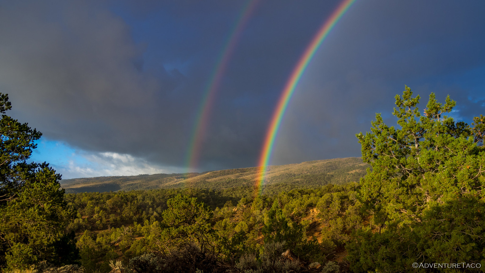
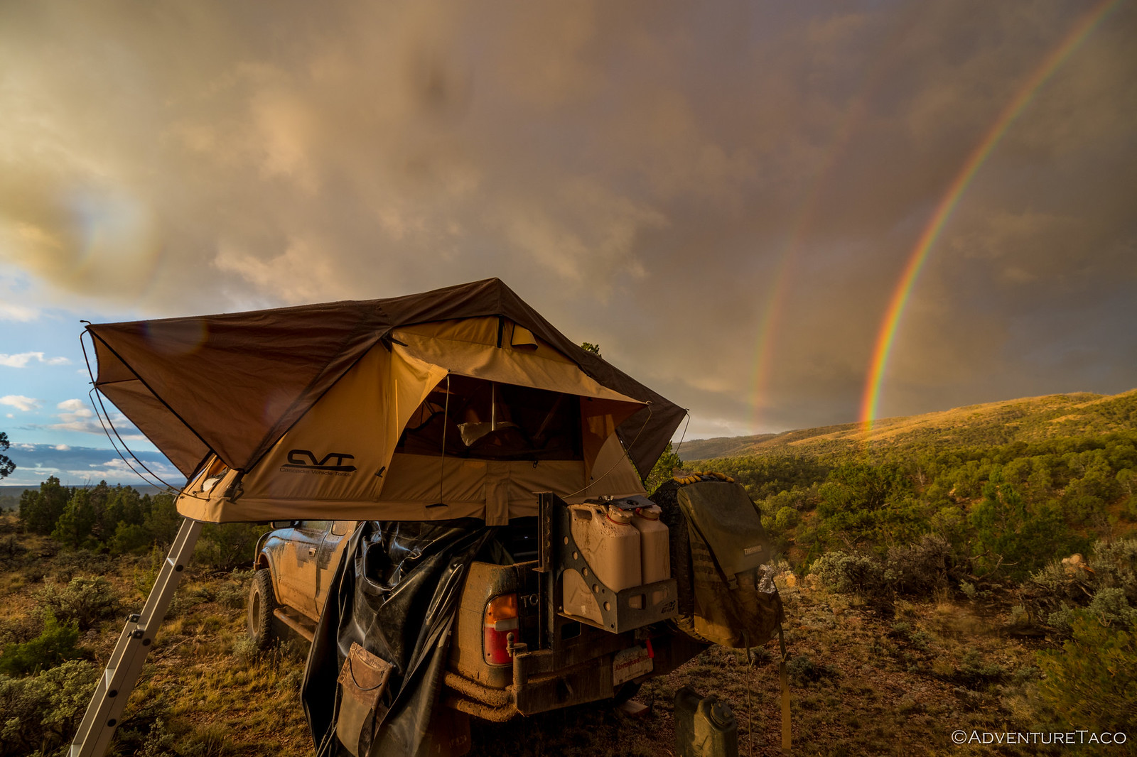
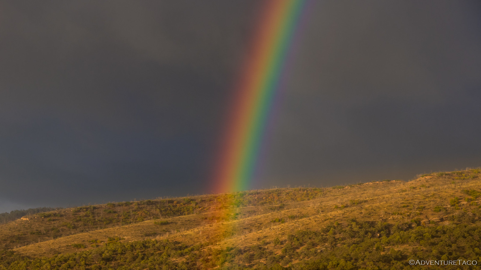
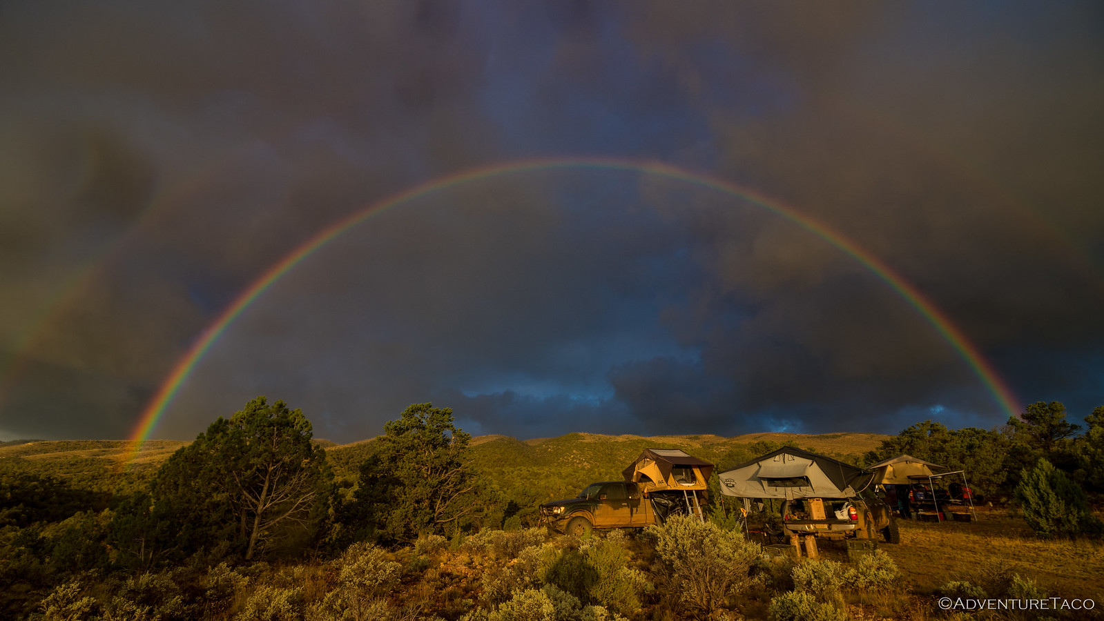
Then, as fast as I could grab my camera, it appeared. And boy, was it (were they!) bright.
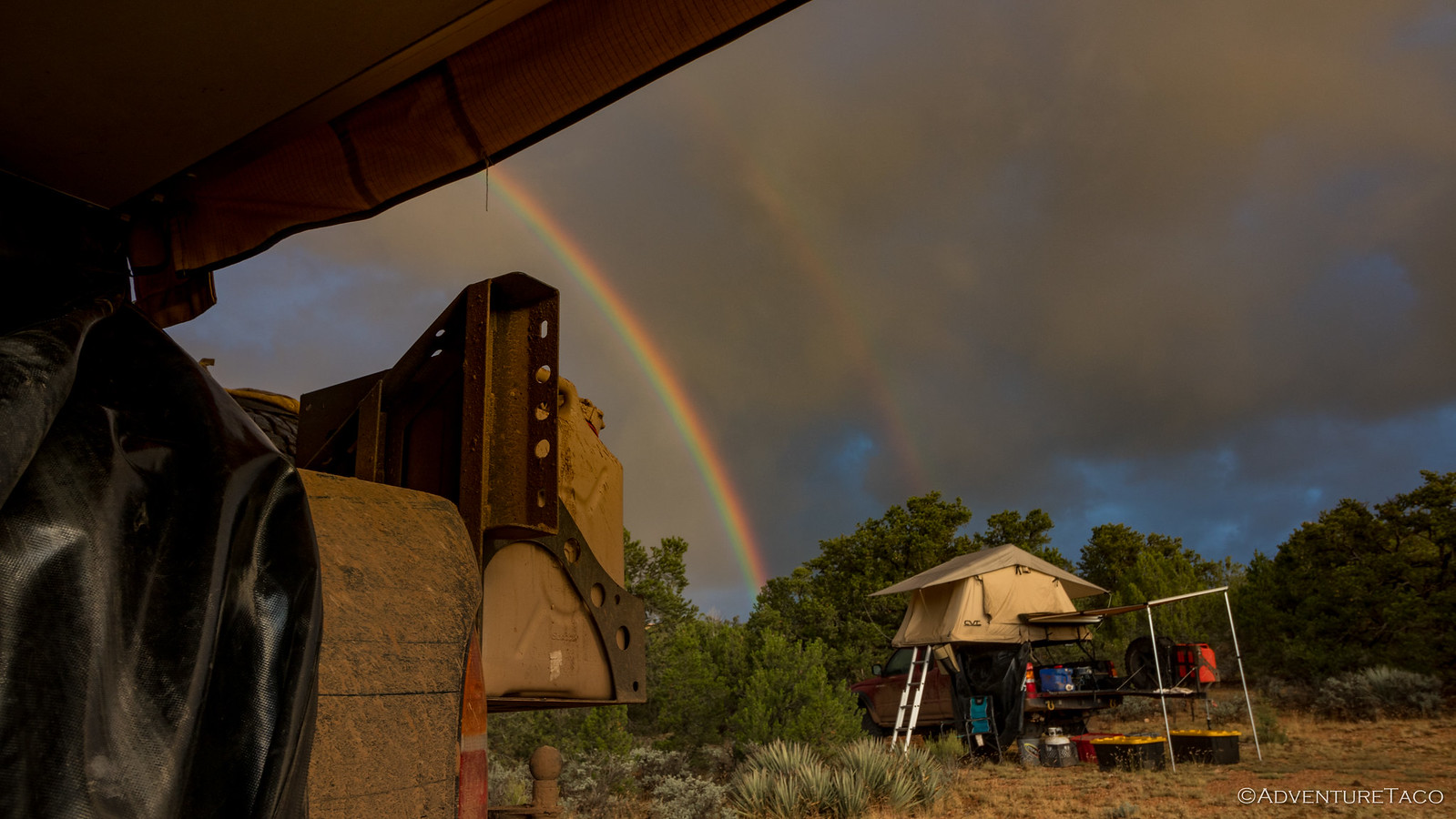
Unsure what to do next, I moved under the overhang of my tent to stay dry - only to notice that the other end of the rainbow landed right on Mike's @Digiratus camp.
Well, needless to say, I wasn't going to let a little rain get in the way of the opportunity that was clearly presenting itself. And with that, I donned my jacket and headed out to really capture the situation. See, it turns out that when you have really bright, warm, morning sunlight shining below the clouds, and a rainstorm moving directly overhead, you apparently get some of the coolest, most vibrant rainbows imaginable.
It was unfortunate that I was the only one up to experience it!
The rain tailed off after about 30-minutes, and so did the rainbow - clouds now covering the eastern horizon. The pitter-patter had obviously woken both Mike and Monte @Blackdawg, since as soon as it stopped, both of them made their way out of their tents to see what the day had in store.
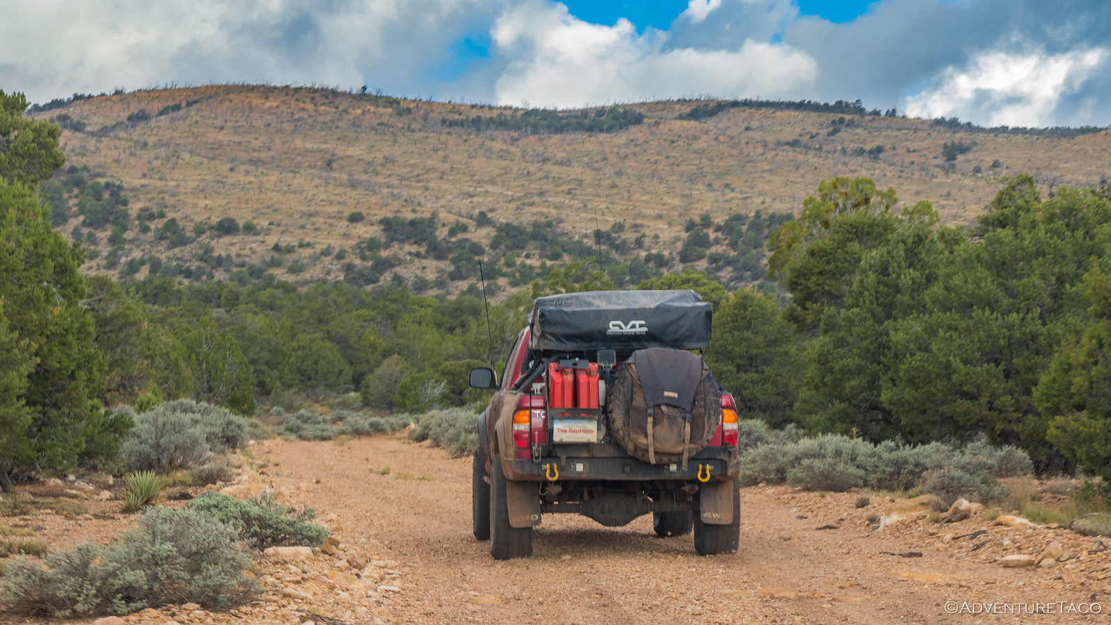
It was obvious from looking up that the likelihood the tents would dry out before we put them away was near zero, but that didn't keep us from eating breakfast first - in the hopes that some random act of warmth would spontaneously dry the tents. There was no such random act though, and by 9:30am breakfast was over and we had everything folded away - wet again - and were back on the trail - just a couple miles to go until we hit highway 89A near Vermilion Cliffs.
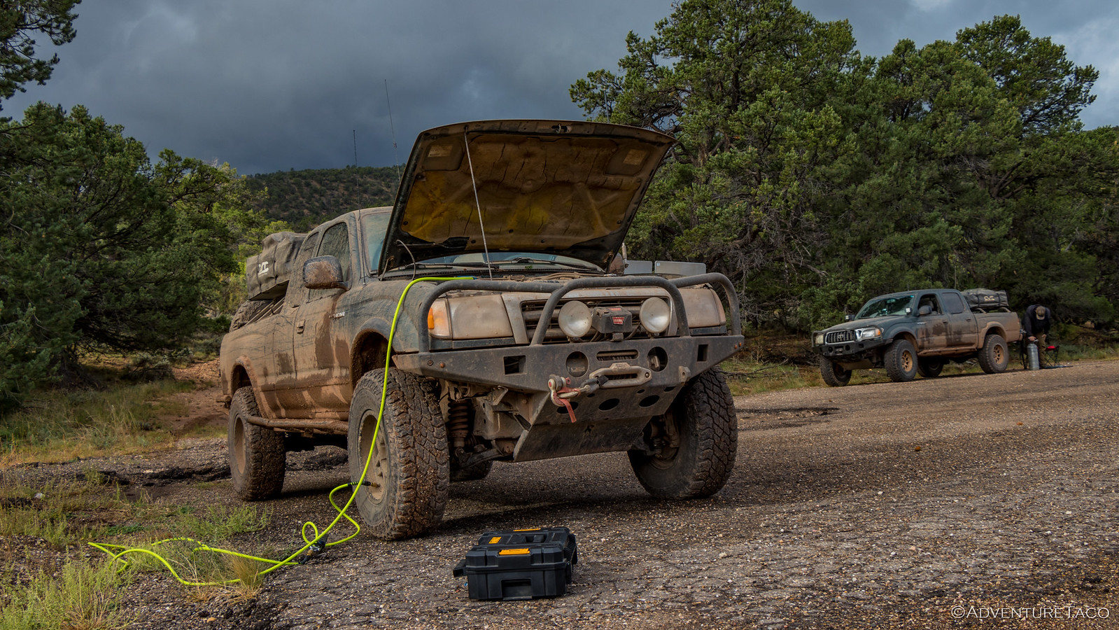
With some real pavement in front of us, for the first time in five days we aired up our tires. We'd traveled over 500 miles in that time on dirt roads, with just a few miles of pavement mixed in for fuel. Awesome!
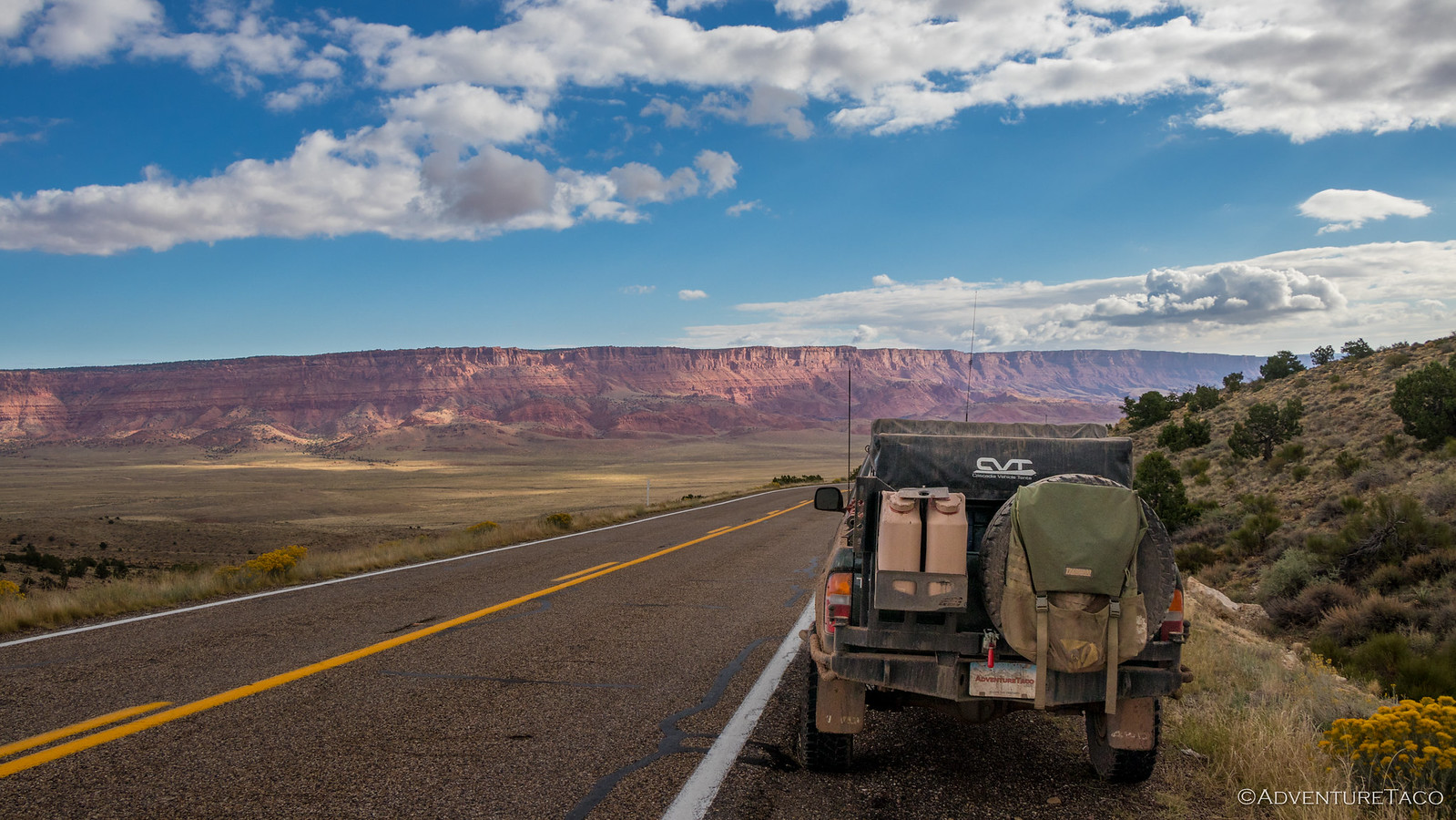
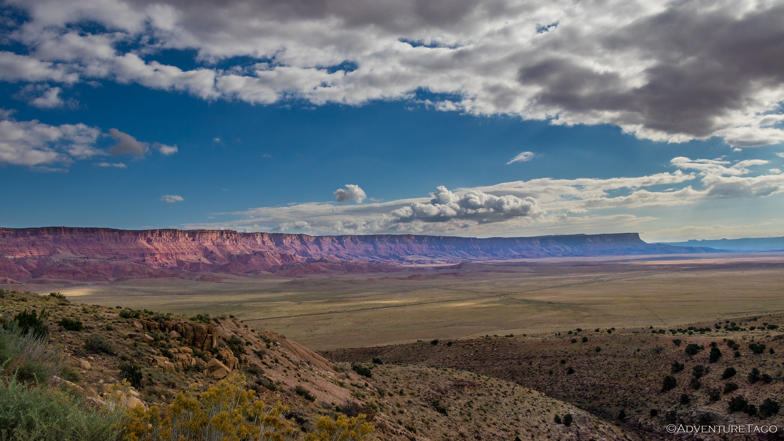
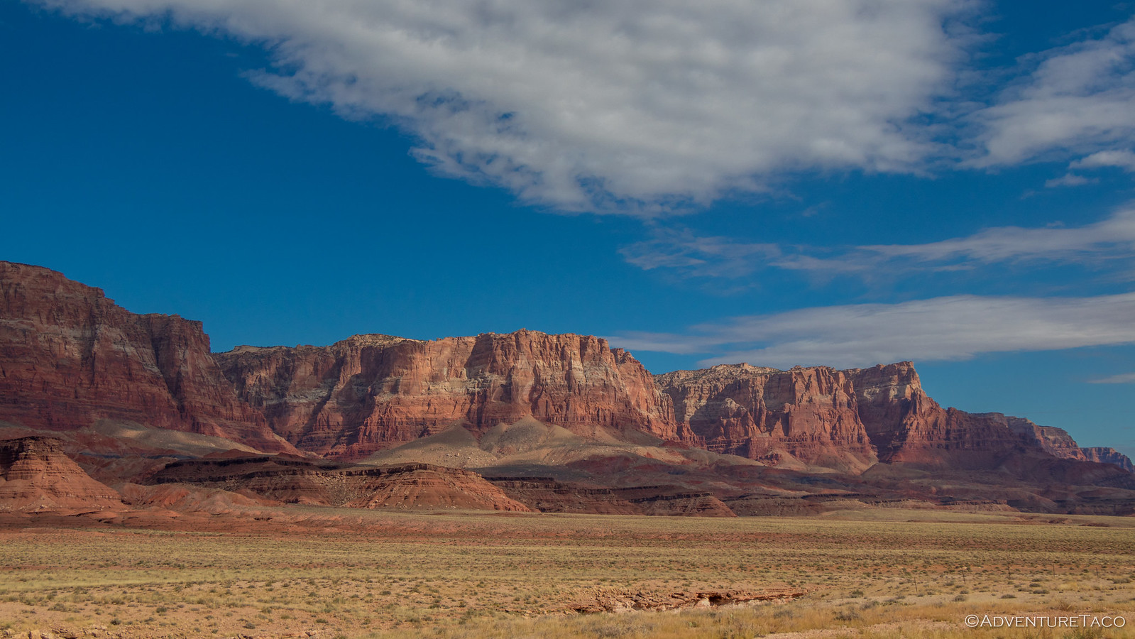
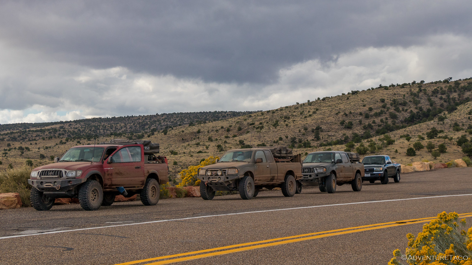
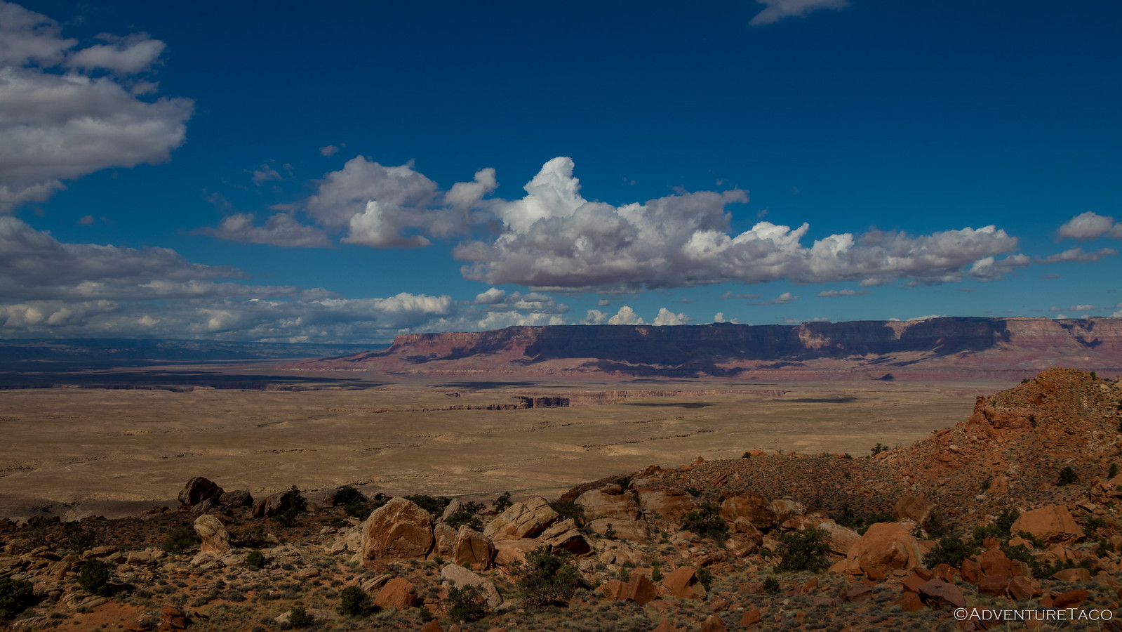
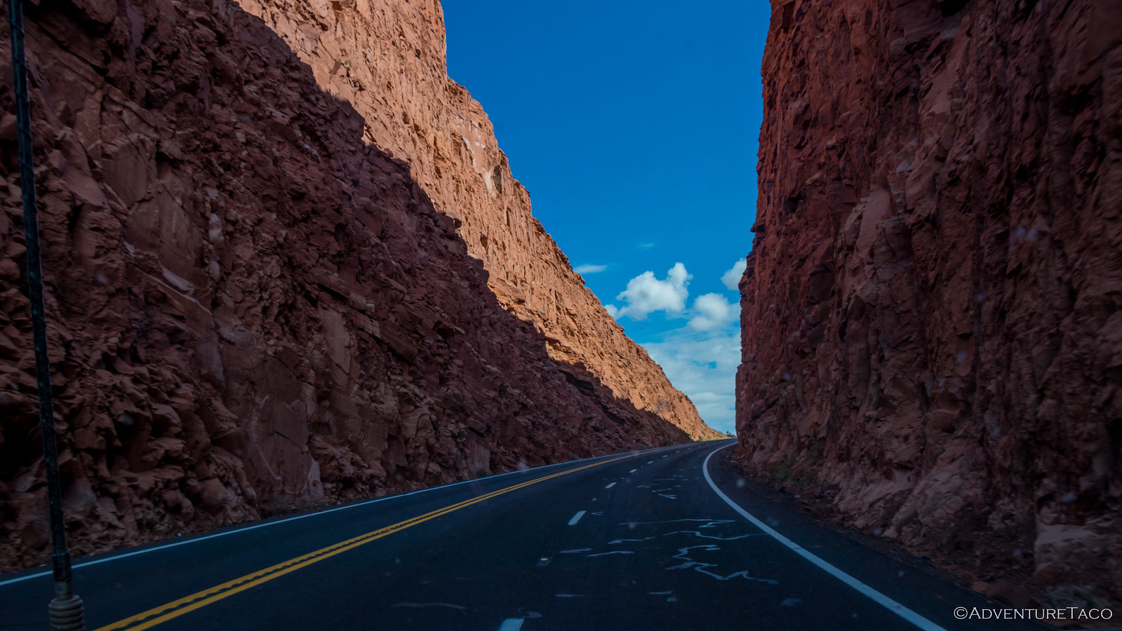
Highway 89A turned out to be a beautiful route in it's own right as we traveled past Vermilion Cliffs National Monument, stopping several times to capture the red plateau as it grew nearer and larger. Oh, and of course we couldn't pass up the pull-out on the highway with a matching (though still stock) Tacoma to my truck - so little looking next to our rigs!
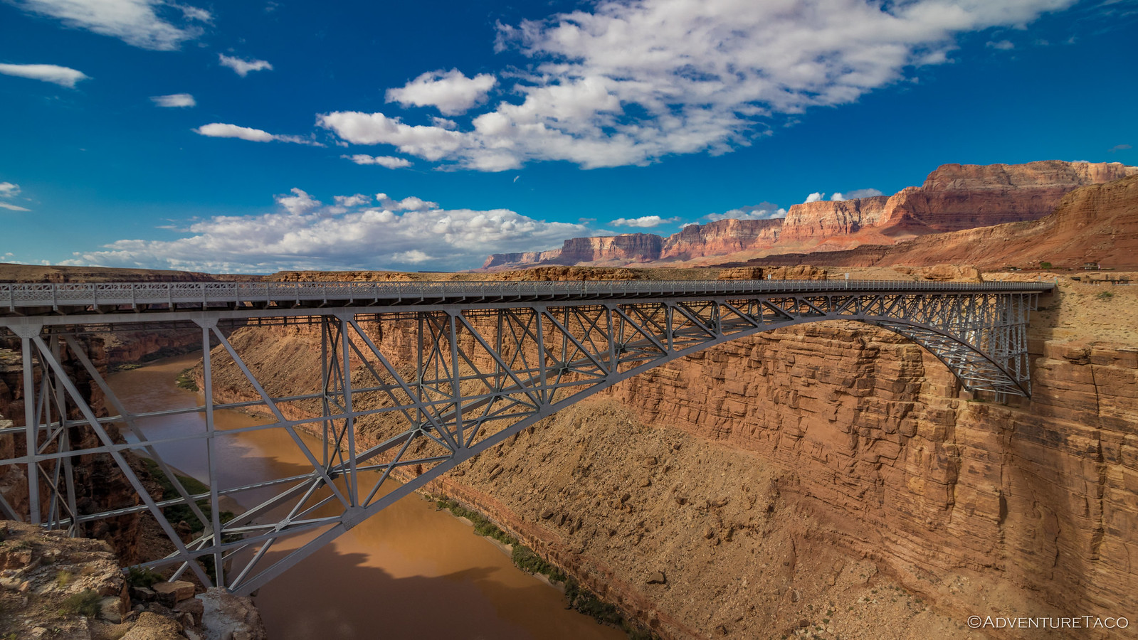
Then, it was back on the pavement - amazing how smooth it felt after five days on dirt - for a few more miles to the Navajo Bridge. This is one of only 7 bridges across the Colorado River over a stretch of 750 miles, and has a colorful history, matching it's surroundings.
In the 1870s, pioneers from Utah began to expand their settlements into northern Arizona. Nearly 600 miles of deep canyons along the Colorado River stood in their way. One of the only places a wagon could reach the river from both north and south was at the mouth of Glen Canyon, 5 miles upstream from today's bridge. The area was a natural corridor between Utah and Arizona, and in 1873 a ferry was established there; named Lee's Ferry after its first ferry operator, John D. Lee. The ferry understandably became an important route for pioneers, settlers and local traffic so when automobiles started using it in the 1920's, it was clear that a safer mechanism needed to be put in place.
It was an historic day when, on January 12, 1929, the bridge was opened to traffic. At the time, it was the highest steel arch bridge in the world and made traveling between Utah and Arizona significantly safer. As Prohibition was in effect, the bridge was christened with a bottle of ginger ale and for the next five years was known as the Grand Canyon Bridge. In 1934, after great debate in the Arizona legislature, the official name was changed to Navajo Bridge.
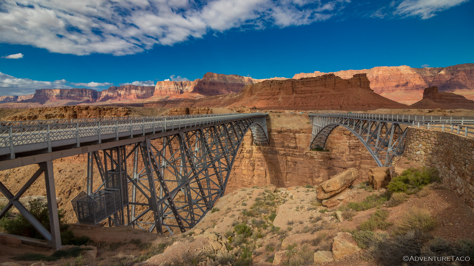
Today, there are two bridges where there used to be just one. After 66 years, as automobiles and trucks became larger, wider, and heavier, the need for a stronger, wider bridge became evident. So it was that in May of 1993, construction of a new bridge began. It'd take two years and a lot of care to ensure the safety of the Colorado River traffic below, but on May 2, 1995, traffic was diverted onto the new Navajo Bridge.
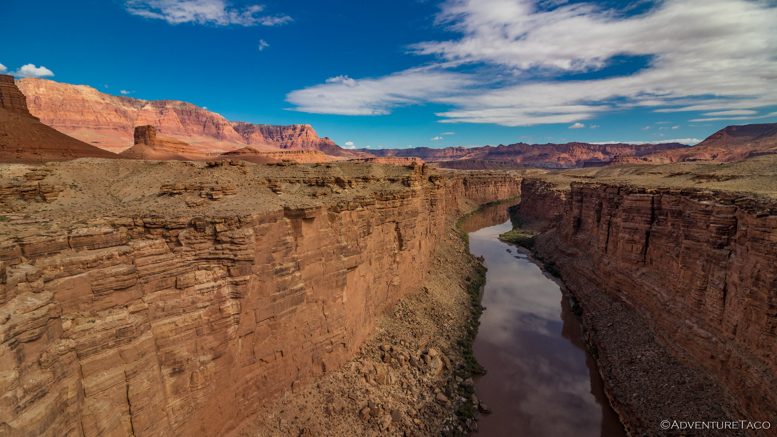
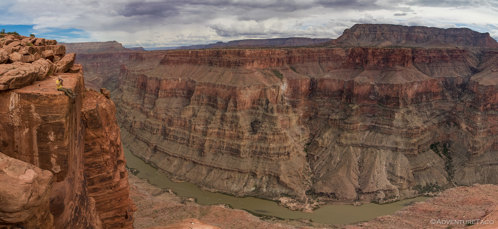
Today, both bridges are still in operation - the historic bridge an amazing viewpoint for the new one, and a great way to get an amazing view of the Colorado River as it passes through Marble Canyon.
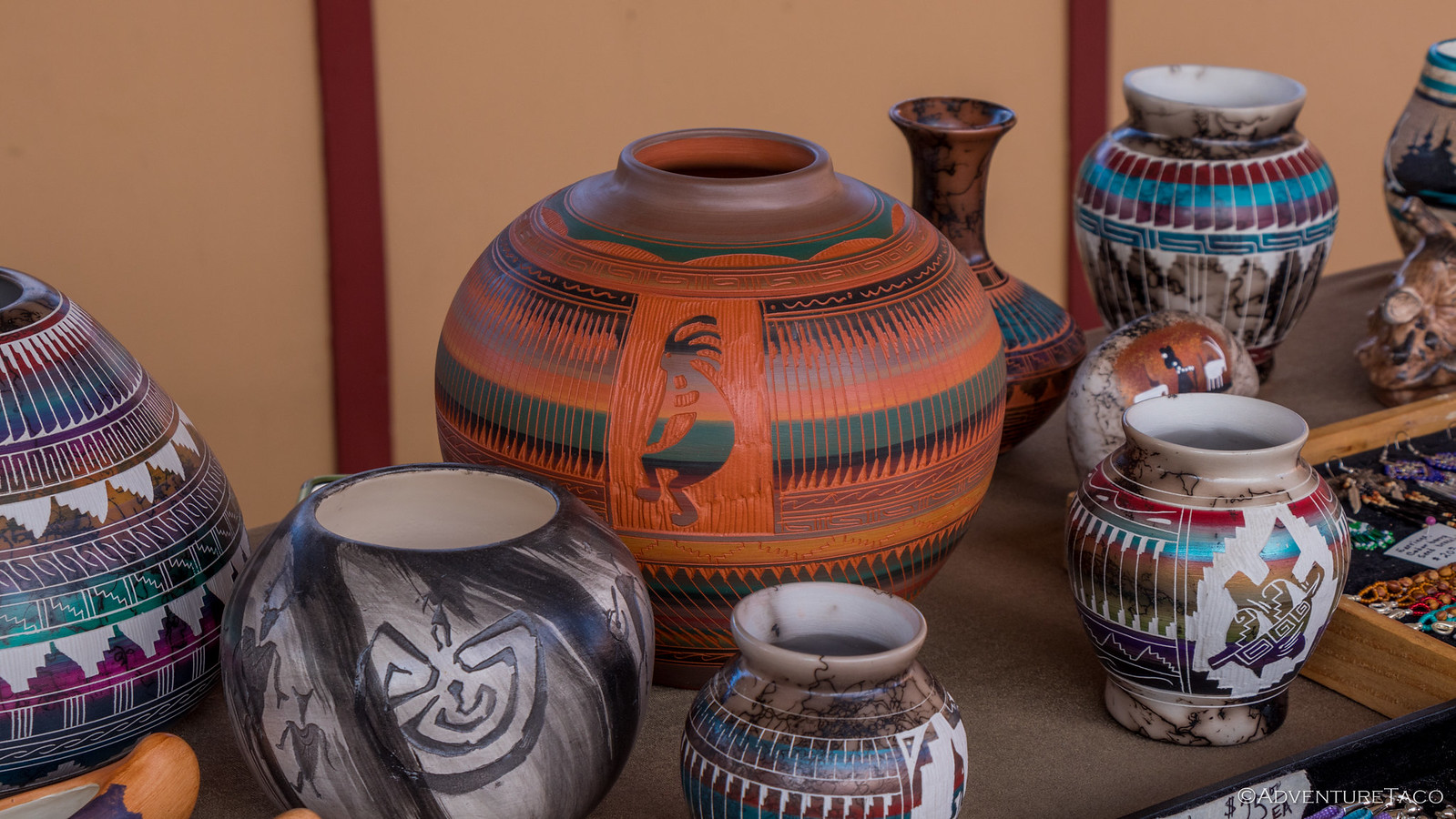
We spent a good amount of time at the bridge, taking in all of the history as well as some of the Native American art/craft work that was for sale in the parking lot. Beautiful work really - the handmade stuff is clearly very labor intensive, and you pay for it - the main vase in this photo had a $450 asking price.
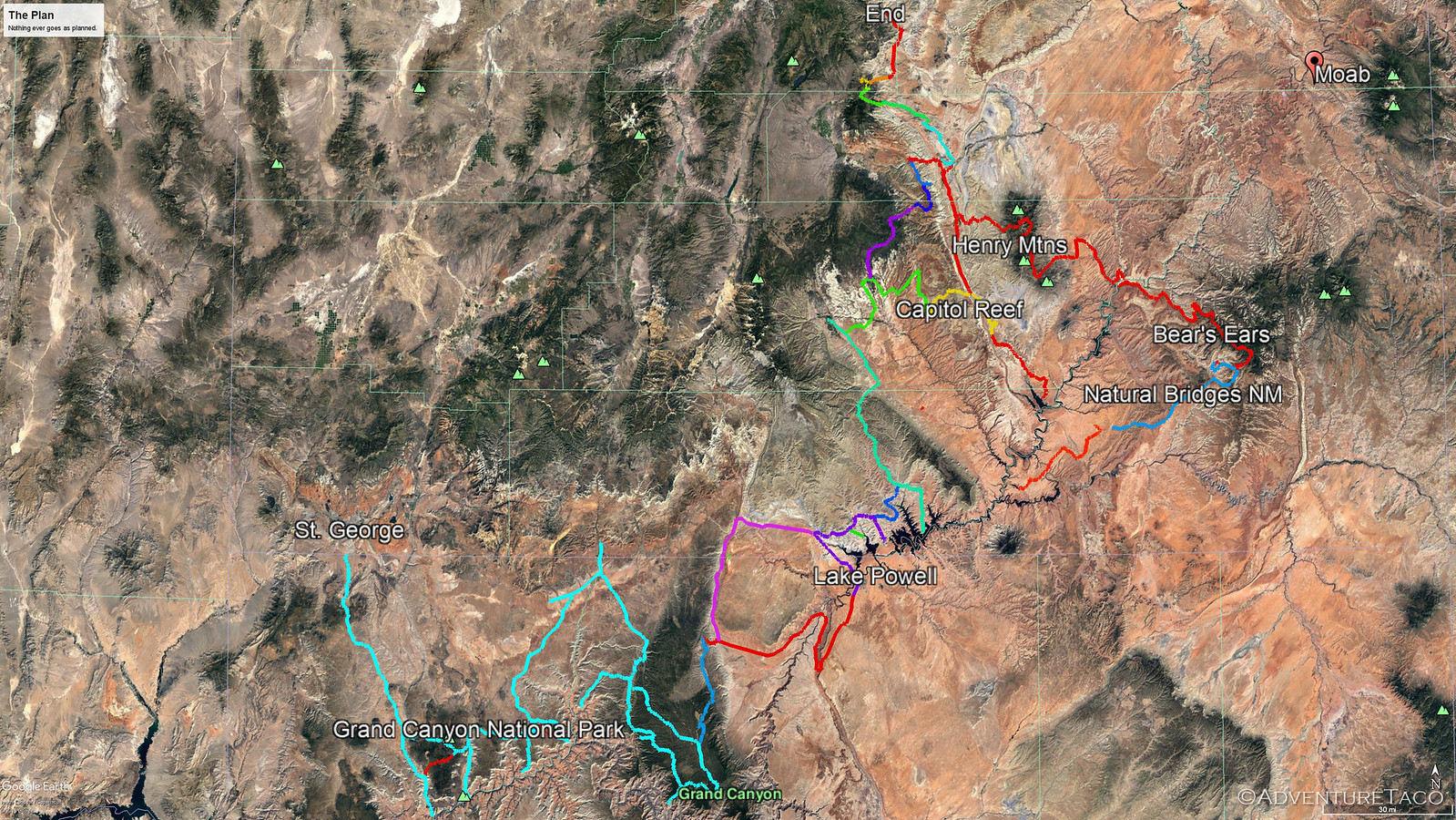
Eventually we pulled ourselves away and hit the road again. We had a destination in mind for lunch on Lake Powell, with at least two stops before that - and it was already 11:00am - time to get moving! So it was that we headed northeast - up and over/through Antelope Pass, the Vermilion Cliffs and Marble Canyon now in the near distance; us on our way to a sight Monte'd been talking up all trip - Horseshoe Bend.
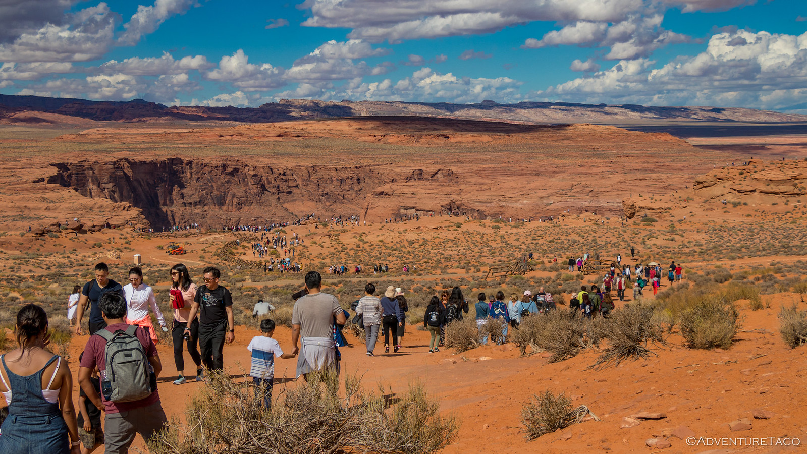
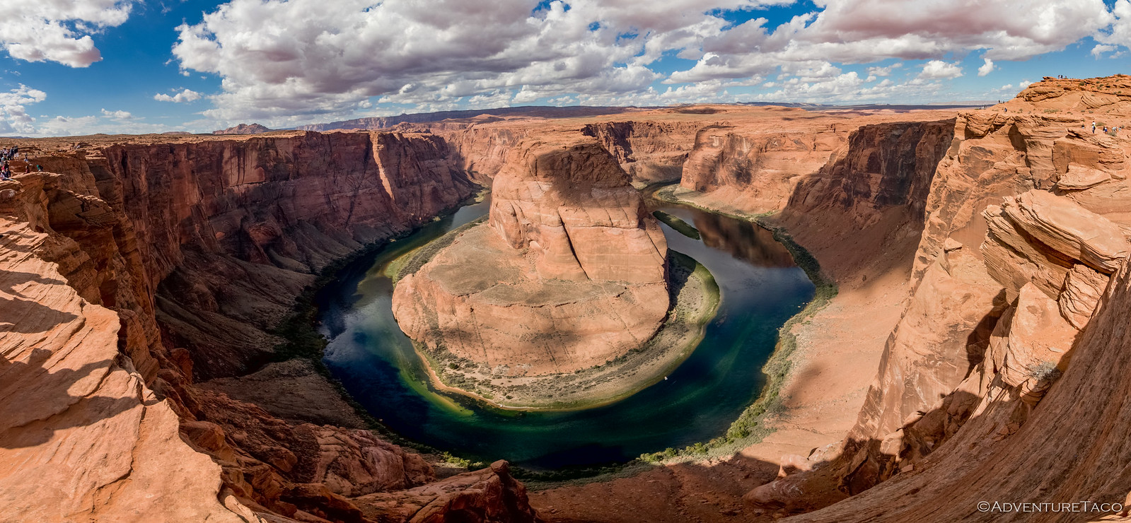
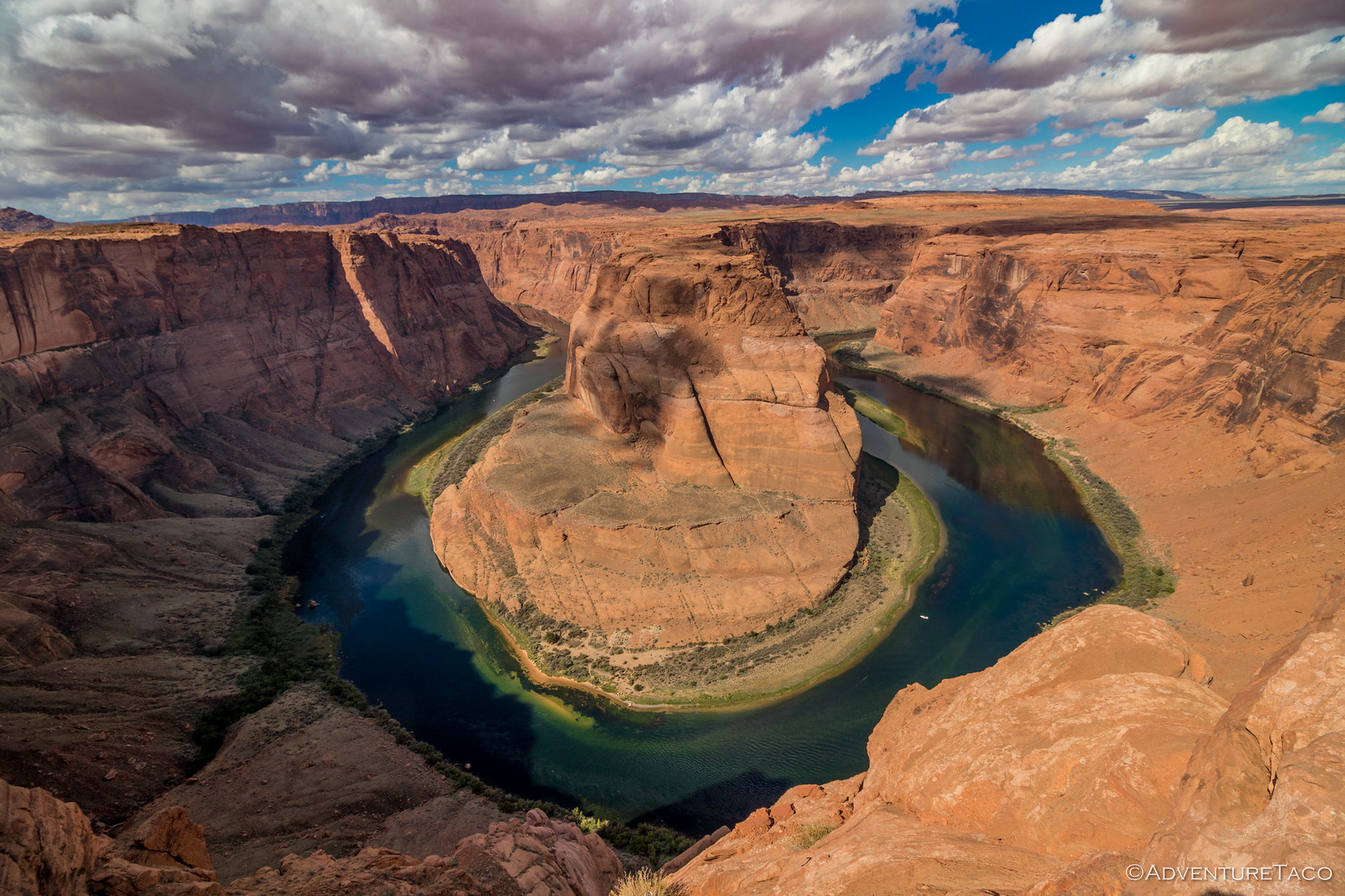
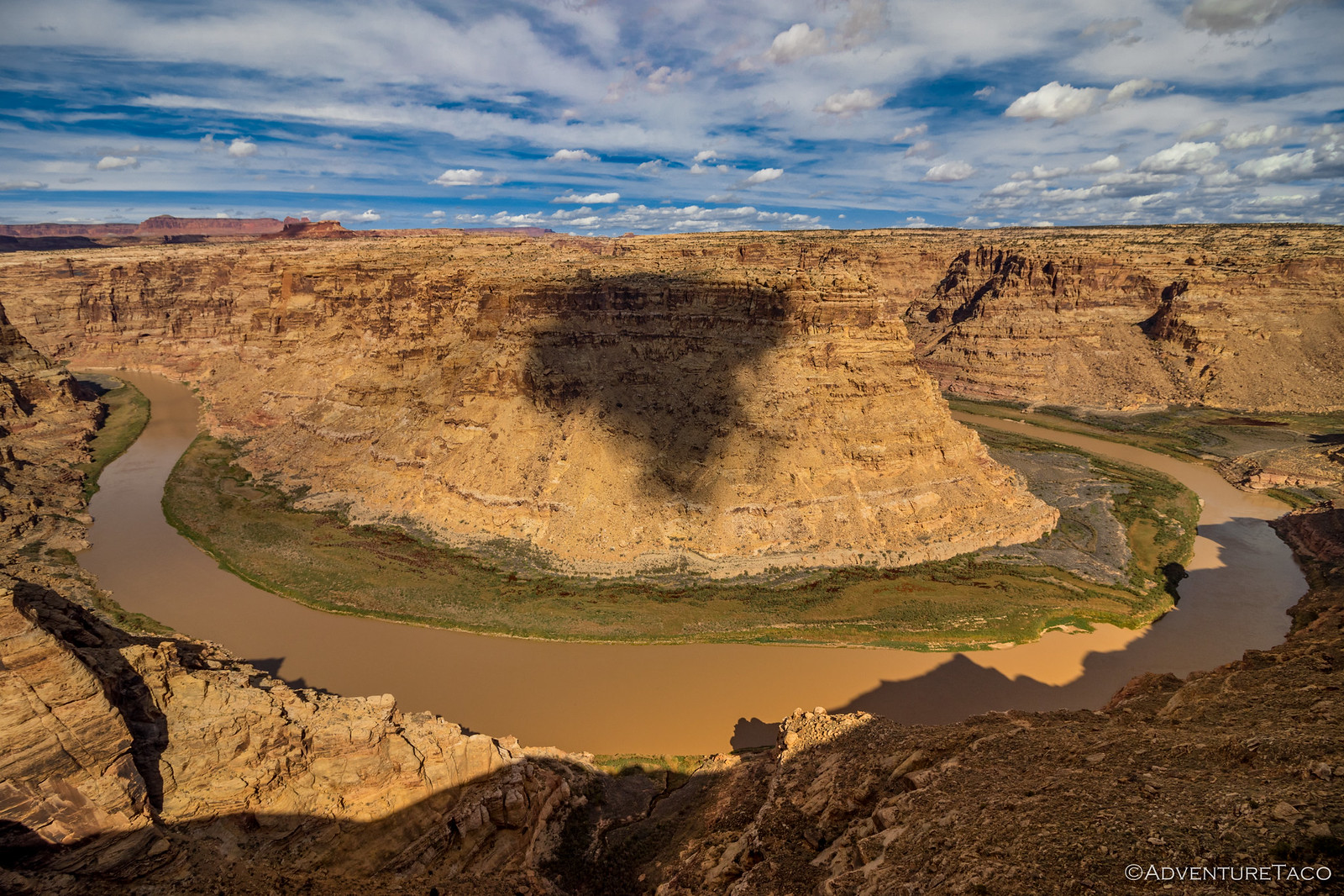
Horseshoe Bend is what's technically known as a meander in the Colorado River, where the river - rather than flowing straight - began carving a curved path through the rock. After millions of years, that created one of the most unique sights you can imagine, so we shouldn't have been surprised when we pulled into a parking lot packed with tourists.
Signs warned us that we needed several liters of water each, no flip-flops, and plenty of stamina to make it to the meander itself. This we found rather hard to believe, given the literal river of people making the trek.
Was it worth it? I'd say yes, though I'm not sure Mike and Monte would agree - the throng of people near their limit from a comfort perspective. Horseshoe Bend itself was amazing - to see the green water of the river bend around, nearly 360º as it flowed along was super cool. And to see some of the #instabookselfies being taken by the throngs of tourists - well, that was just hilarious!
Given the number of people, we didn't doddle - instead heading back to the trucks and into Page, AZ where we'd fuel up one last time in a state that had shown us so much, and head north into Utah for the remainder of our adventure. It was here too that - while waiting for Monte to reprovision a few groceries - Mike and I ate our respective lunches.
This fact was not lost on Monte when he came back out to the trucks - "Hey, I thought we were going to eat at Lake Powell!" he laughed. Oops, Mike and I had both forgotten. So Monte made a quick lunch and scarfed it down, and we headed out - a short drive on pavement to Big Water, UT where we aired down again and hit the dirt leading us into the Glen Canyon National Recreation Area and Lake Powell.
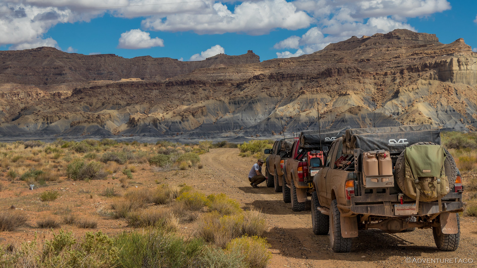
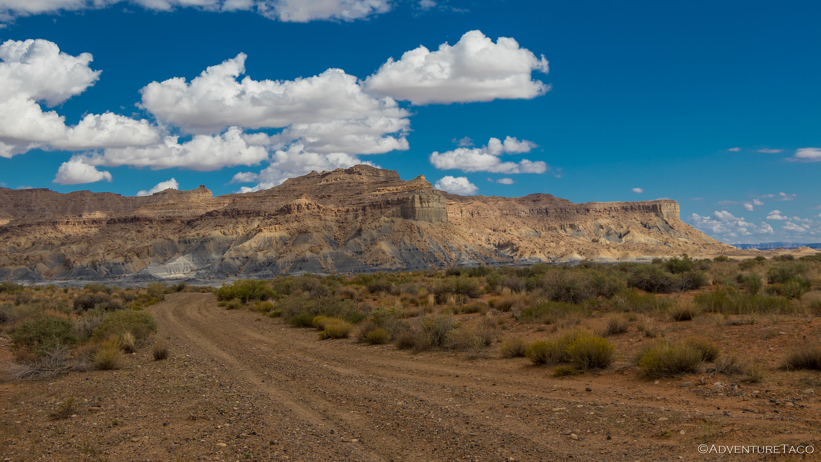
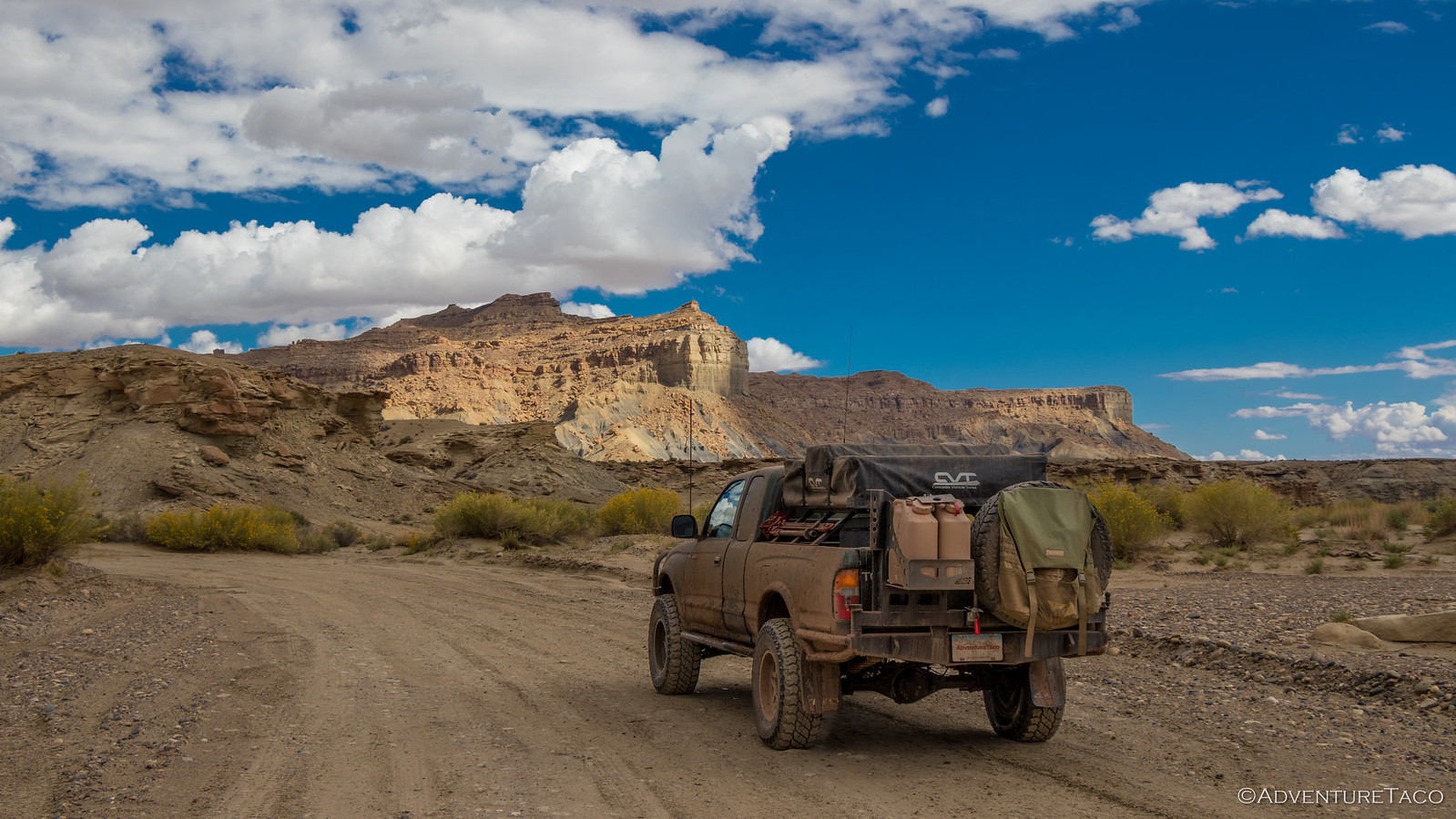
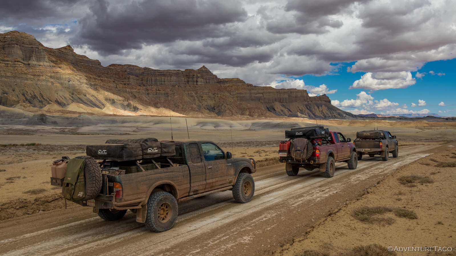
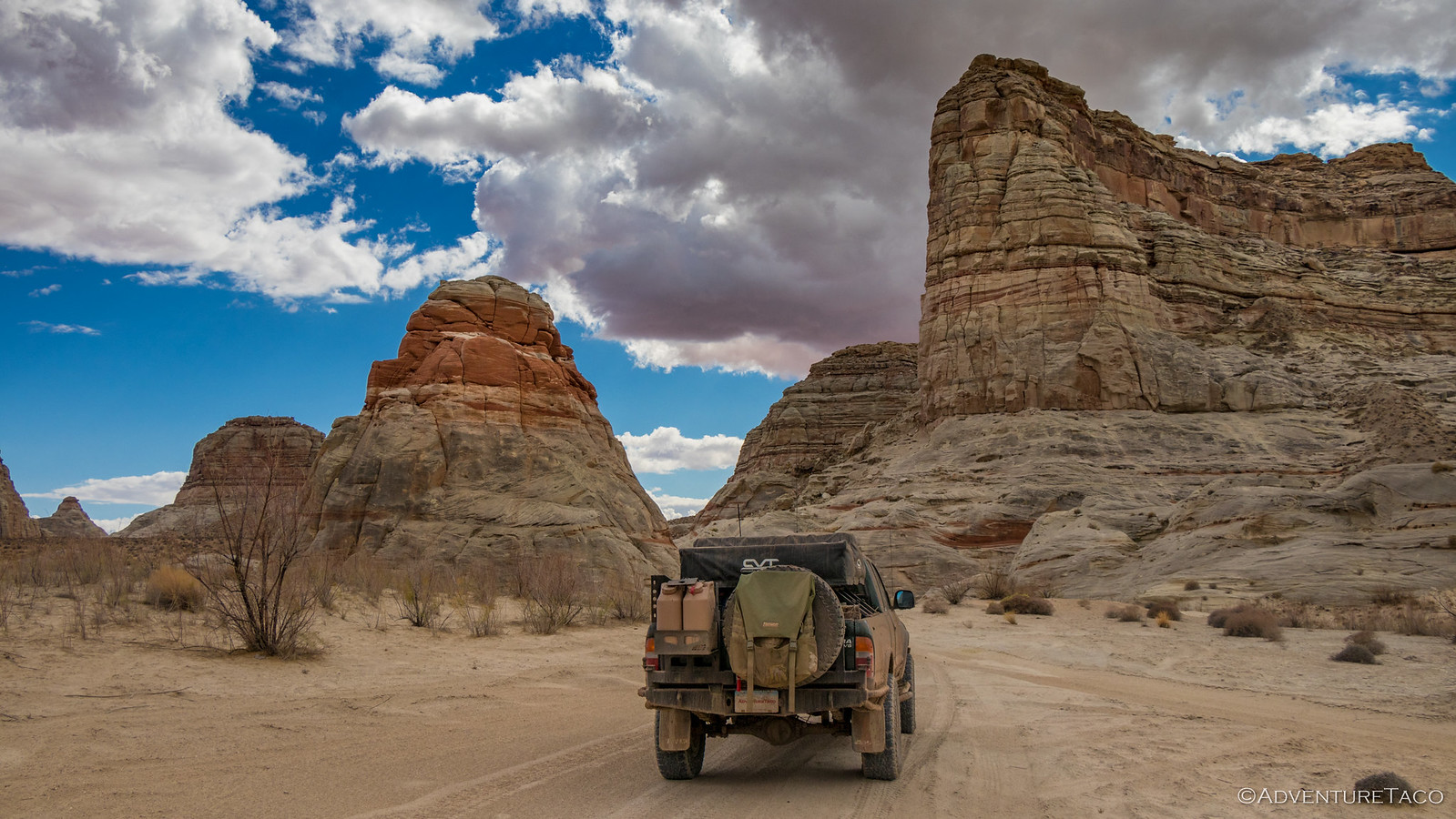
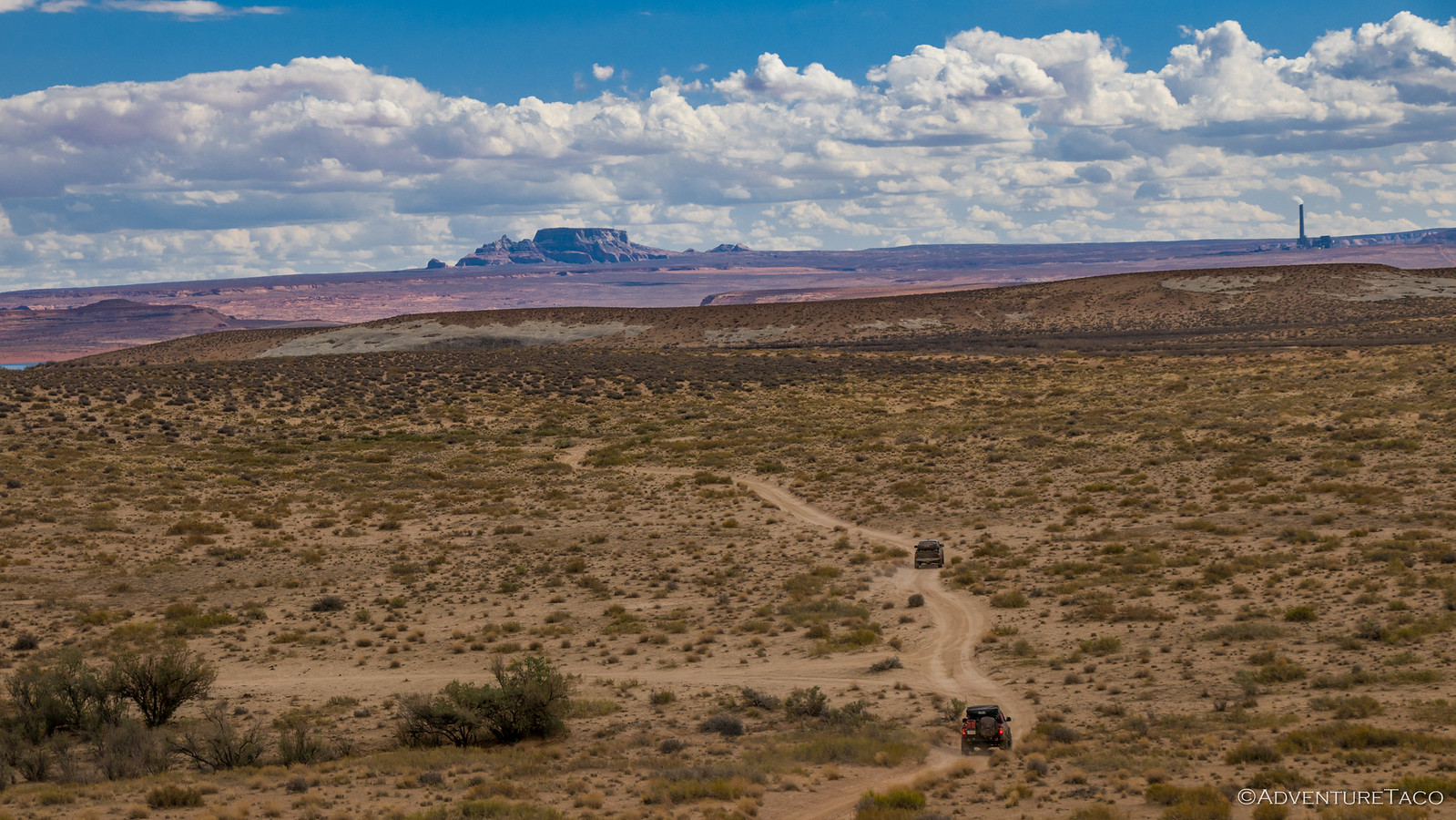
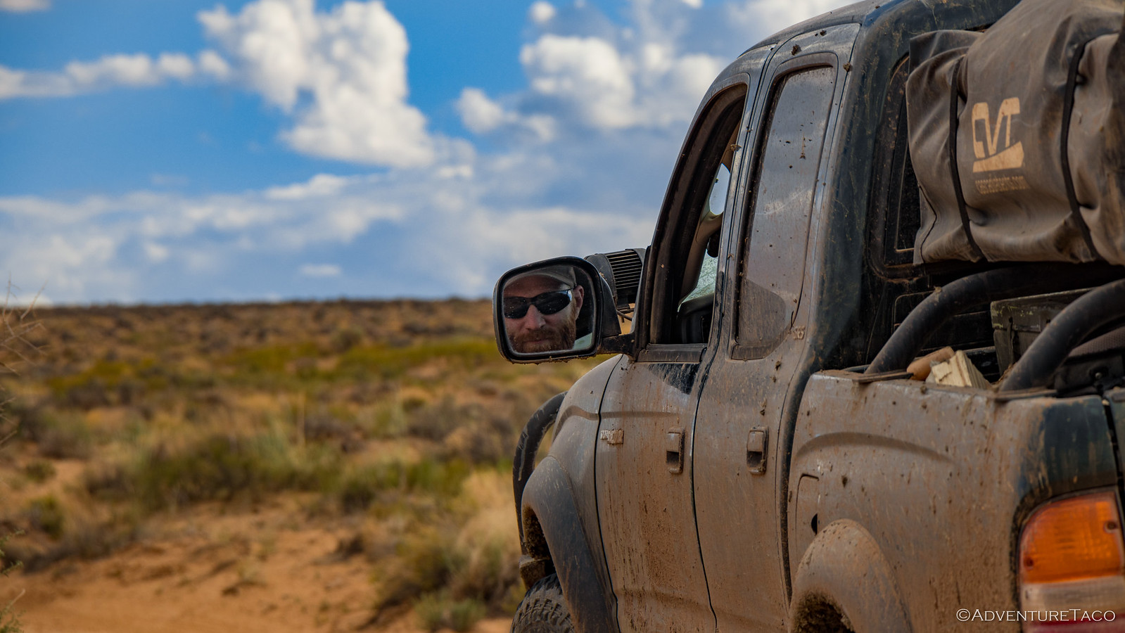
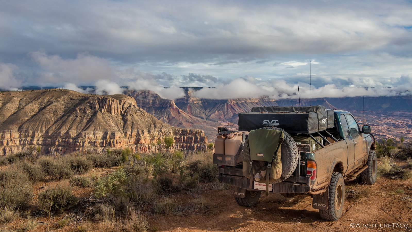
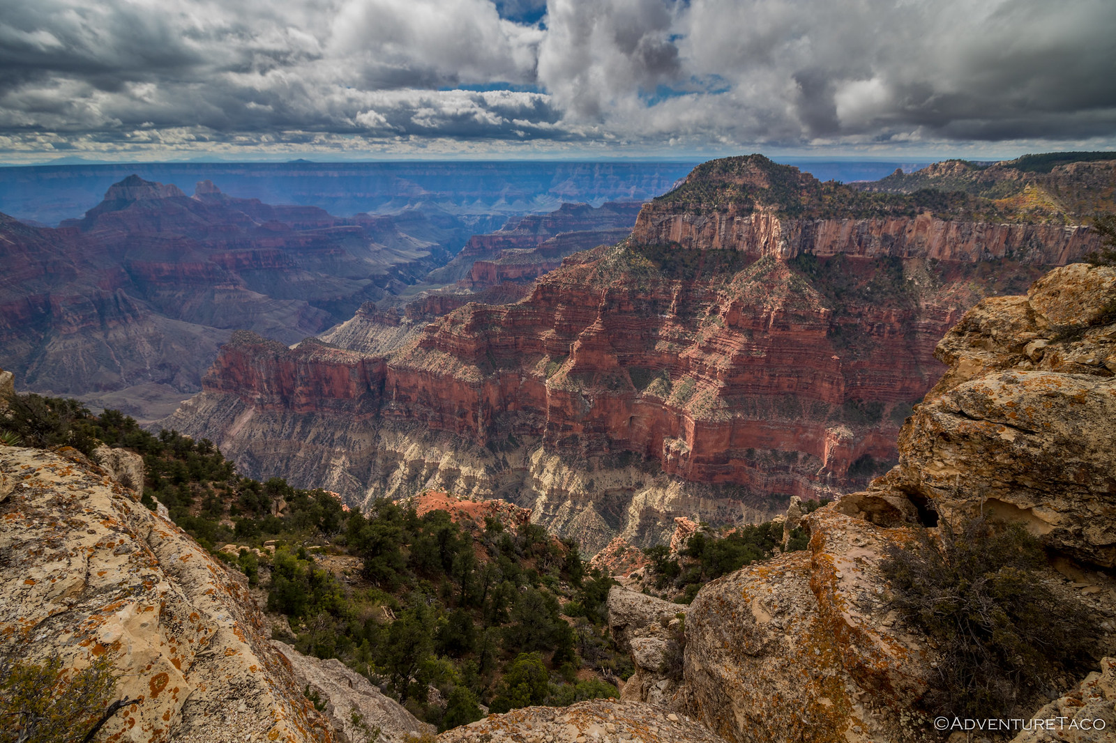
It was amazing how much the landscape changed in the few miles between the eastern end of the North Rim of the Grand Canyon and Glen Canyon - gone were the trees and vegetation, desert clearly the new normal. And beautiful on this mostly sunny day as we made our way along the canyon's edge, Grand Staircase-Escalante National Monument to our north.
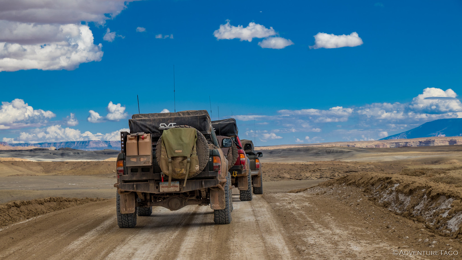
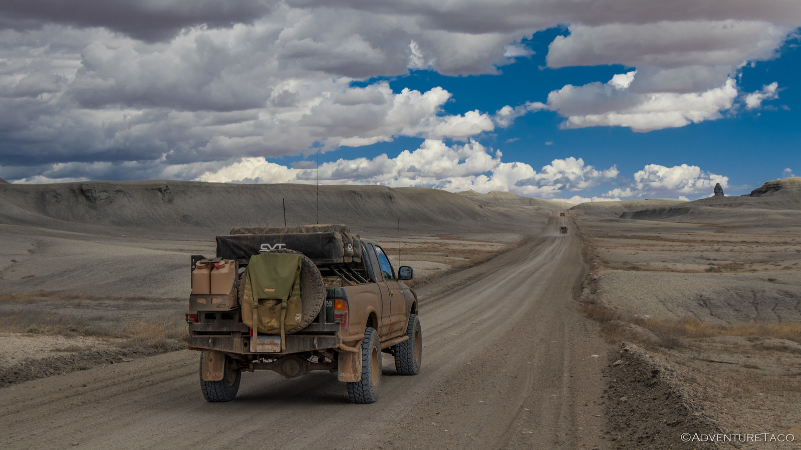
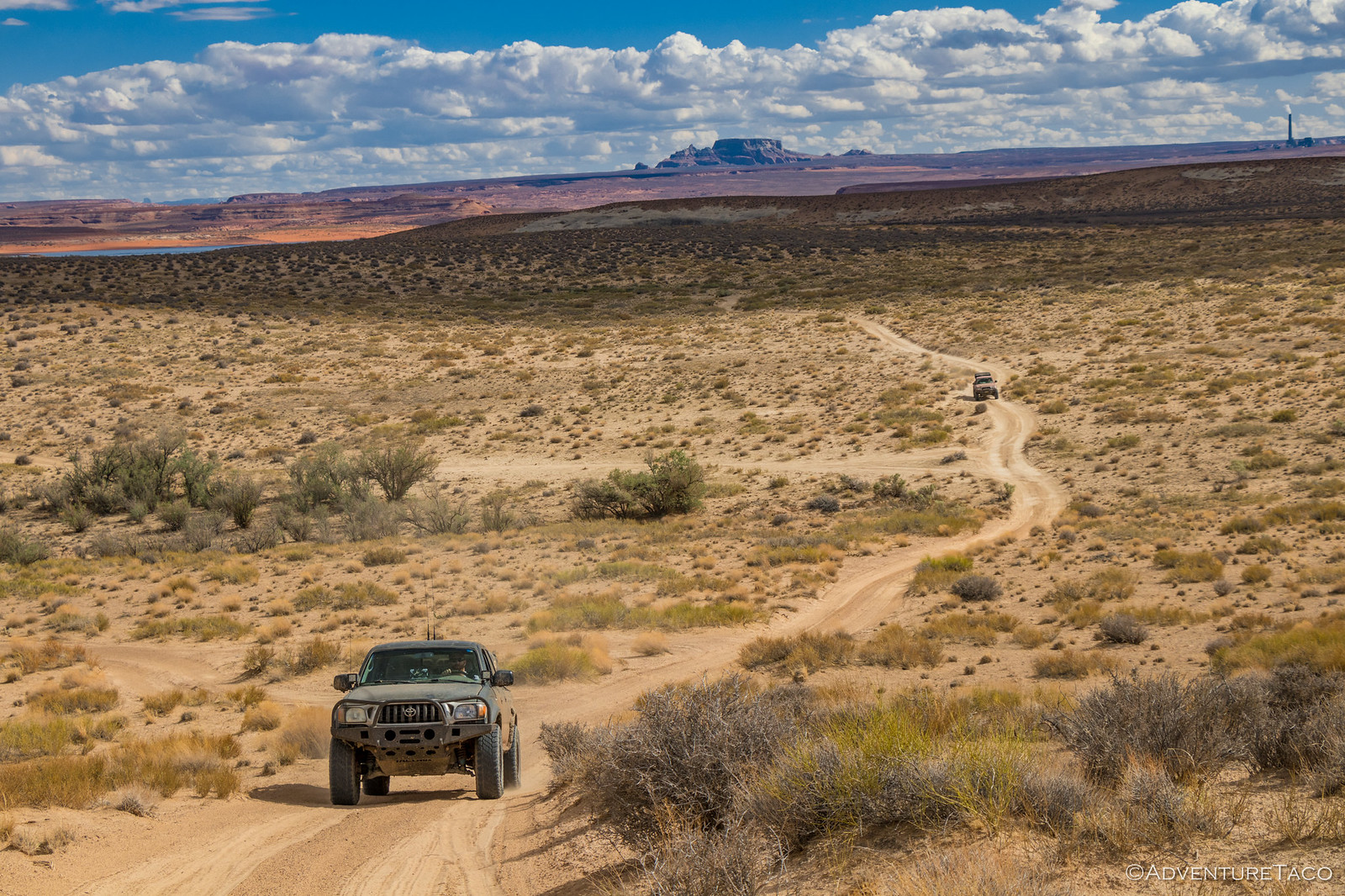
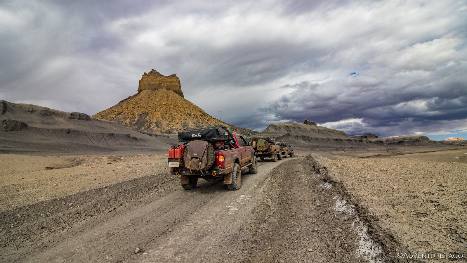
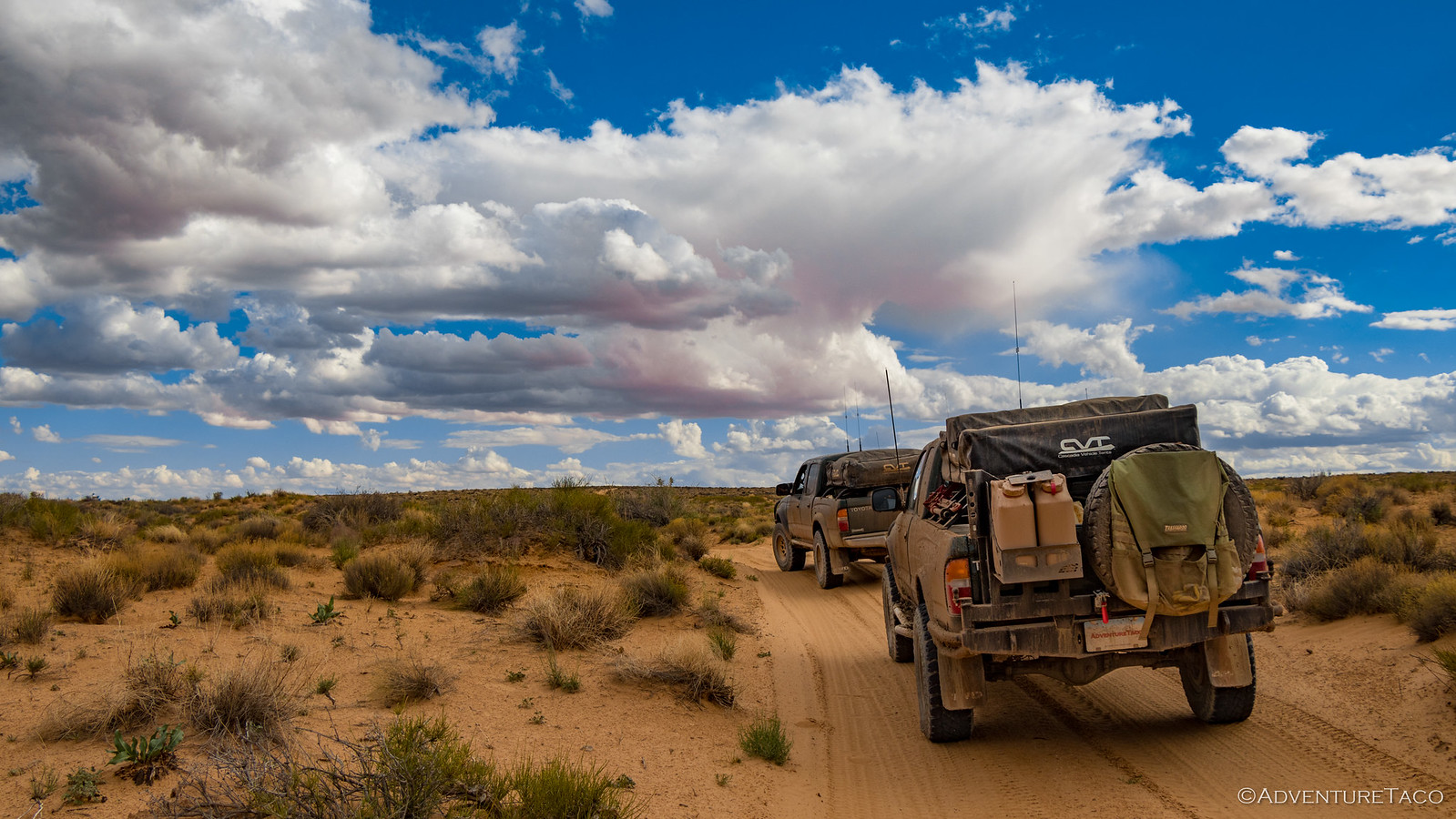
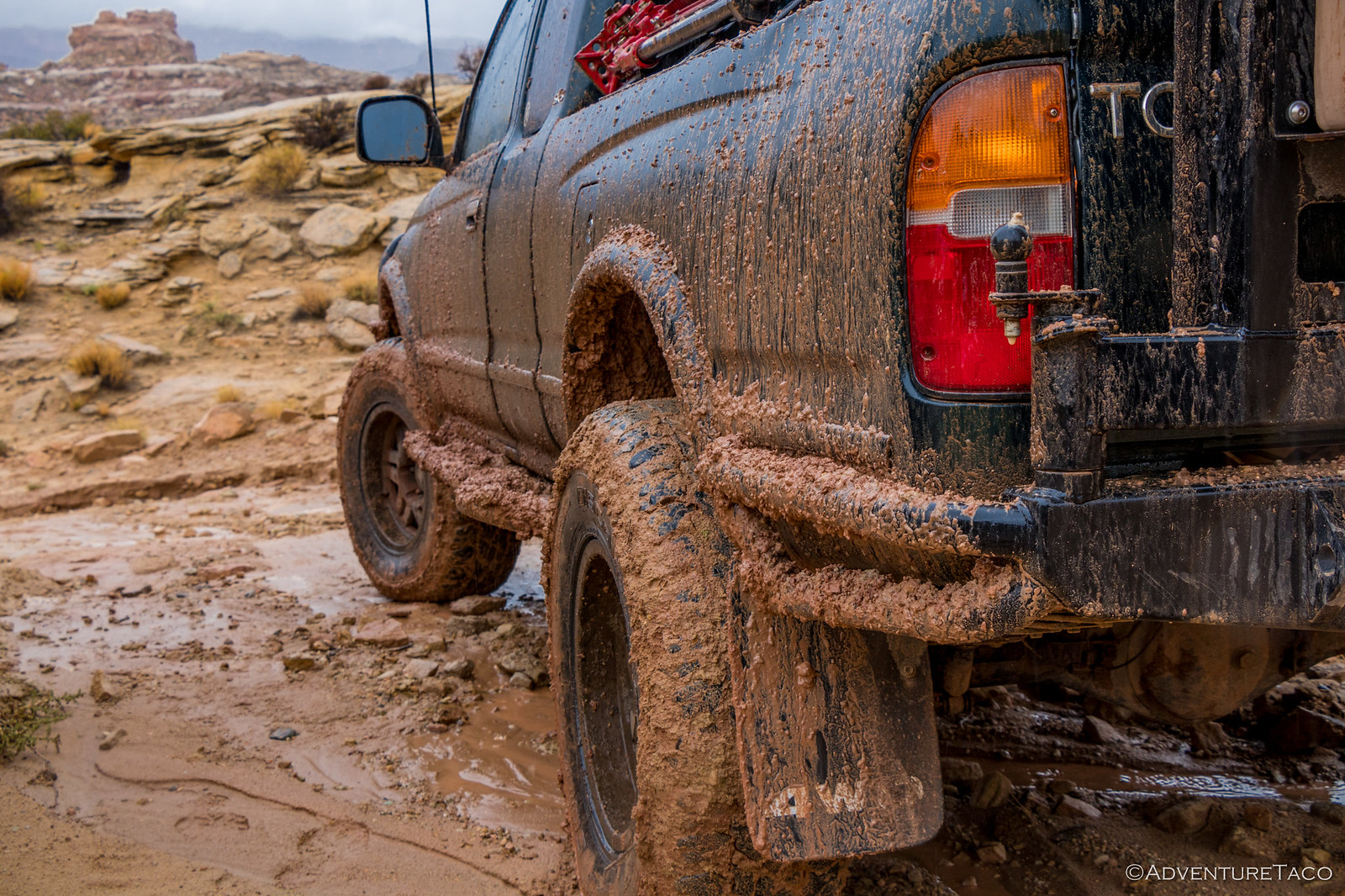
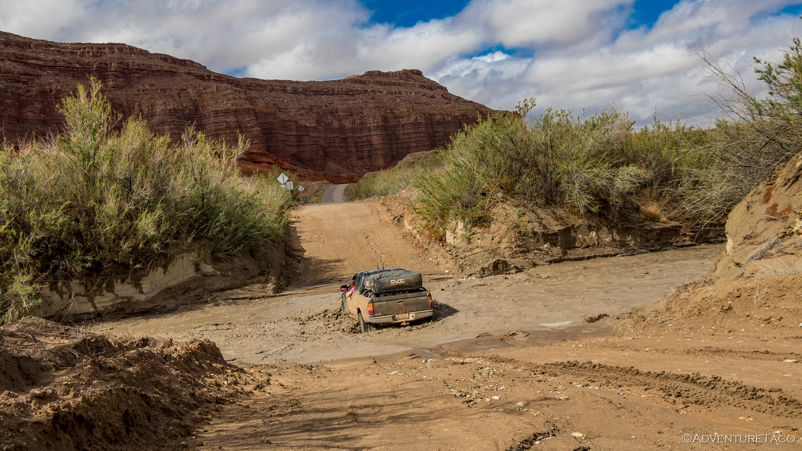
We made good time on the well-graded roads, equally thankful for the rain that had clearly been through in the last couple of days to keep the dust down and that it wasn't currently raining - the roads primarily made of a fine clay that gets slippery, sticky and extremely messy when it's really wet.
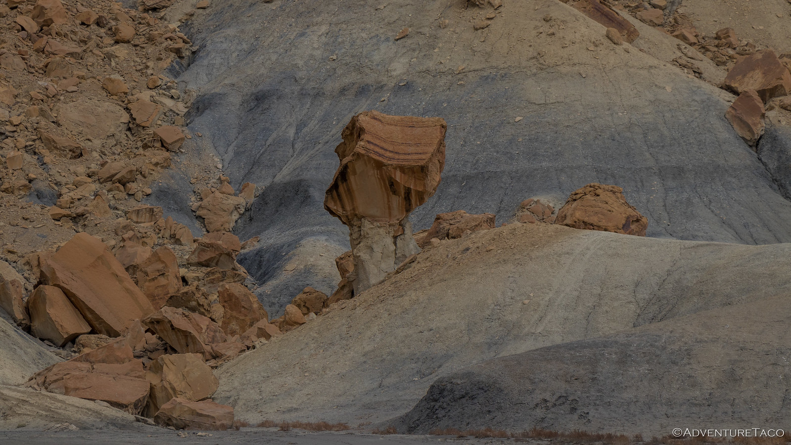
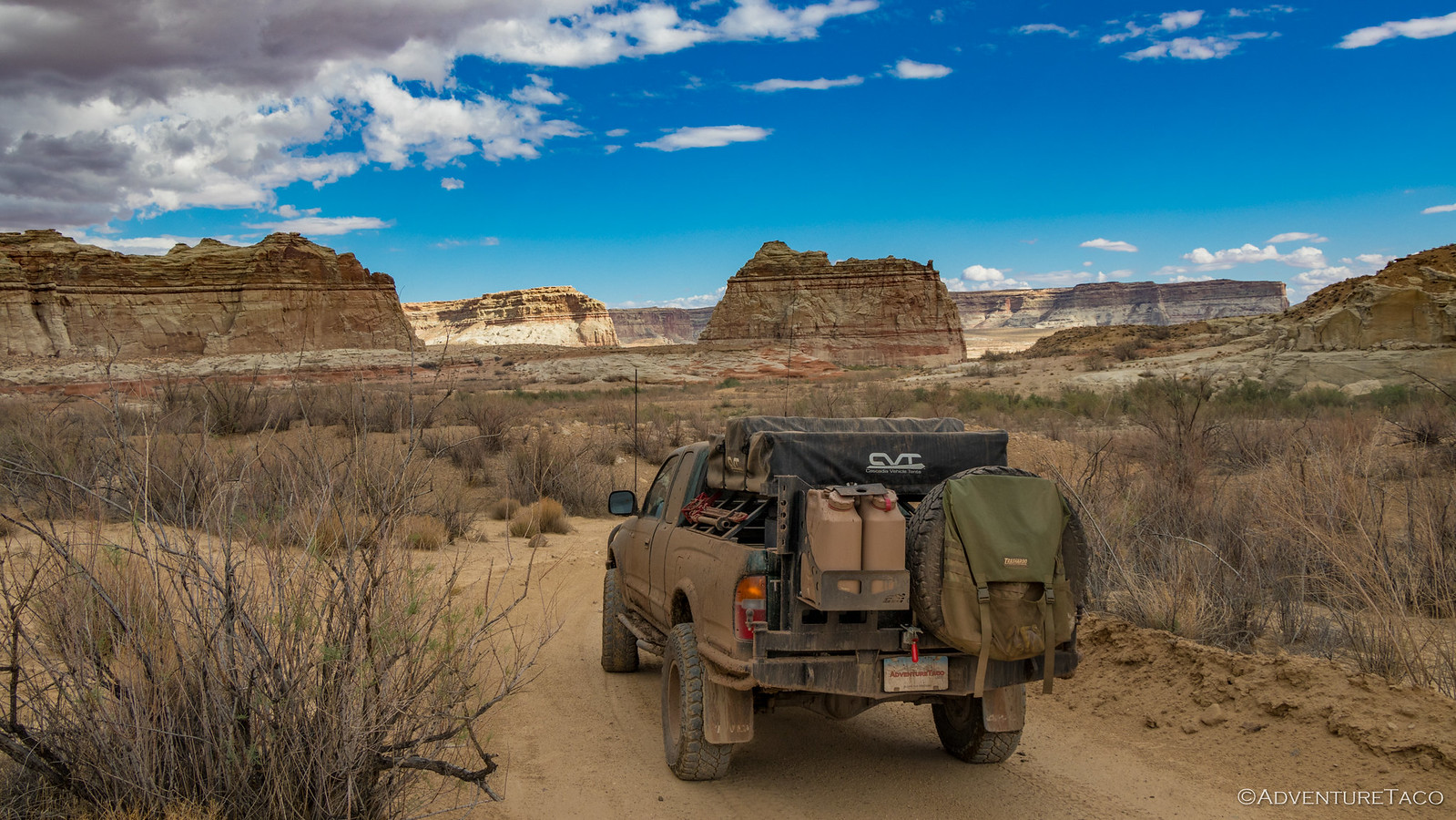
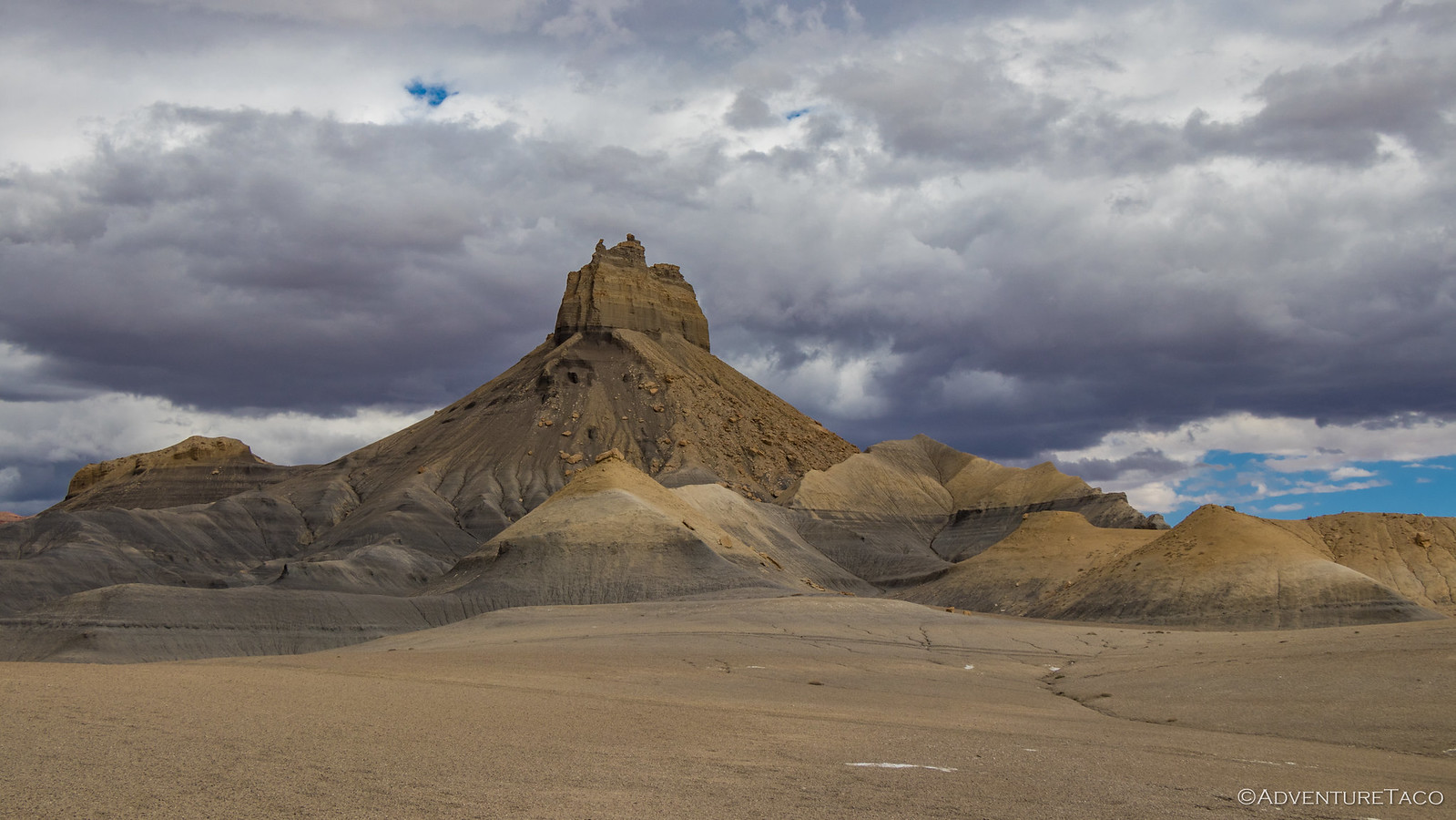
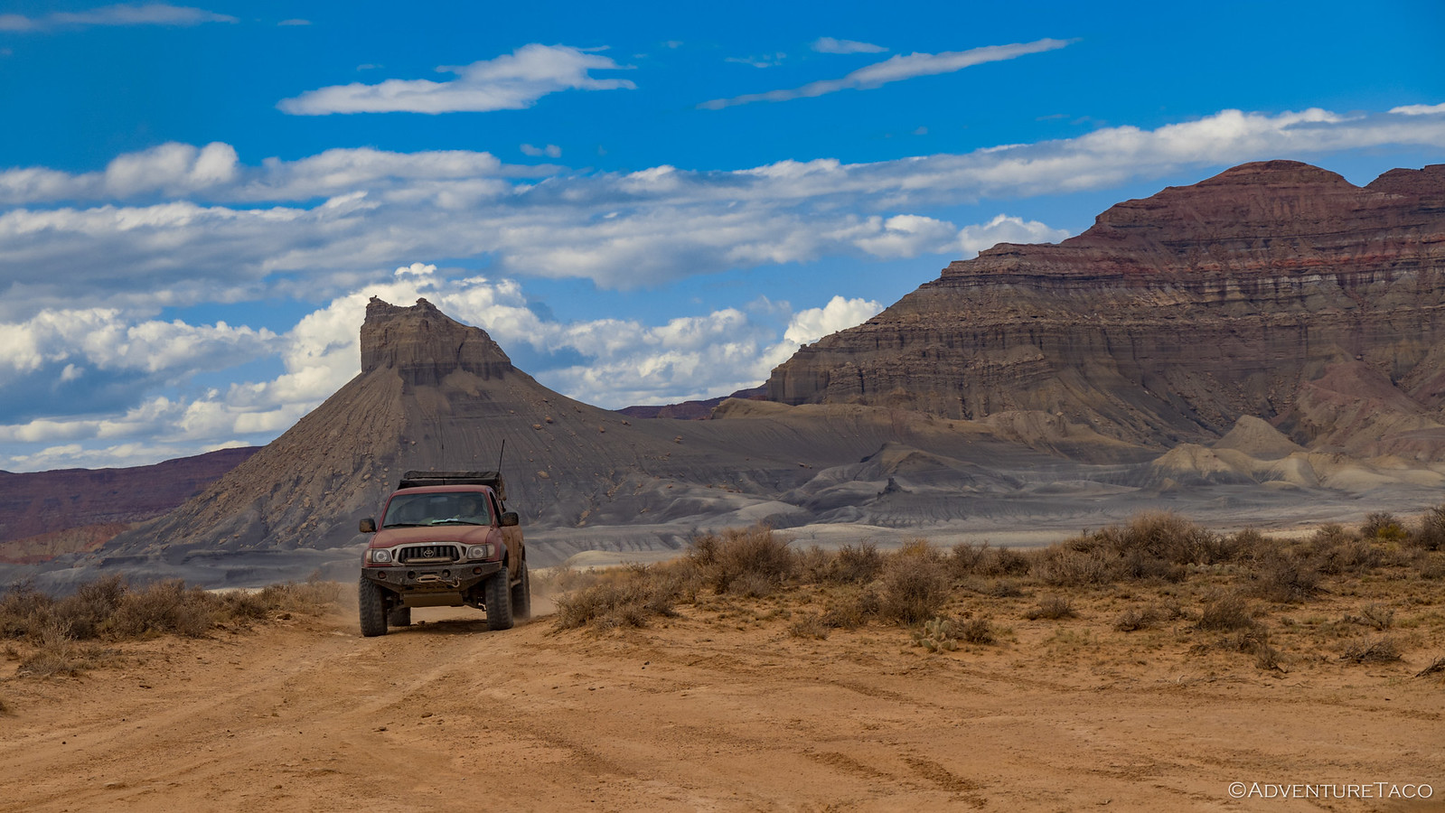
I'm sure we were all thinking it, but Mike's the one who finally said it over the CB, "Amazing moonscape." And that's exactly what it was - vegetation nearly non-existent, weathered, eroding, barren cliffs and plains as far as we could see.
By 2:30pm or so, we reached the turnoff for the trail that we'd planned to eat lunch at the end of  , good thing we'd grabbed a bite back in Page. With plenty of time till we needed to be at camp, we decided we'd still take this trail - to Crosby Canyon - as we'd heard it was a good one.
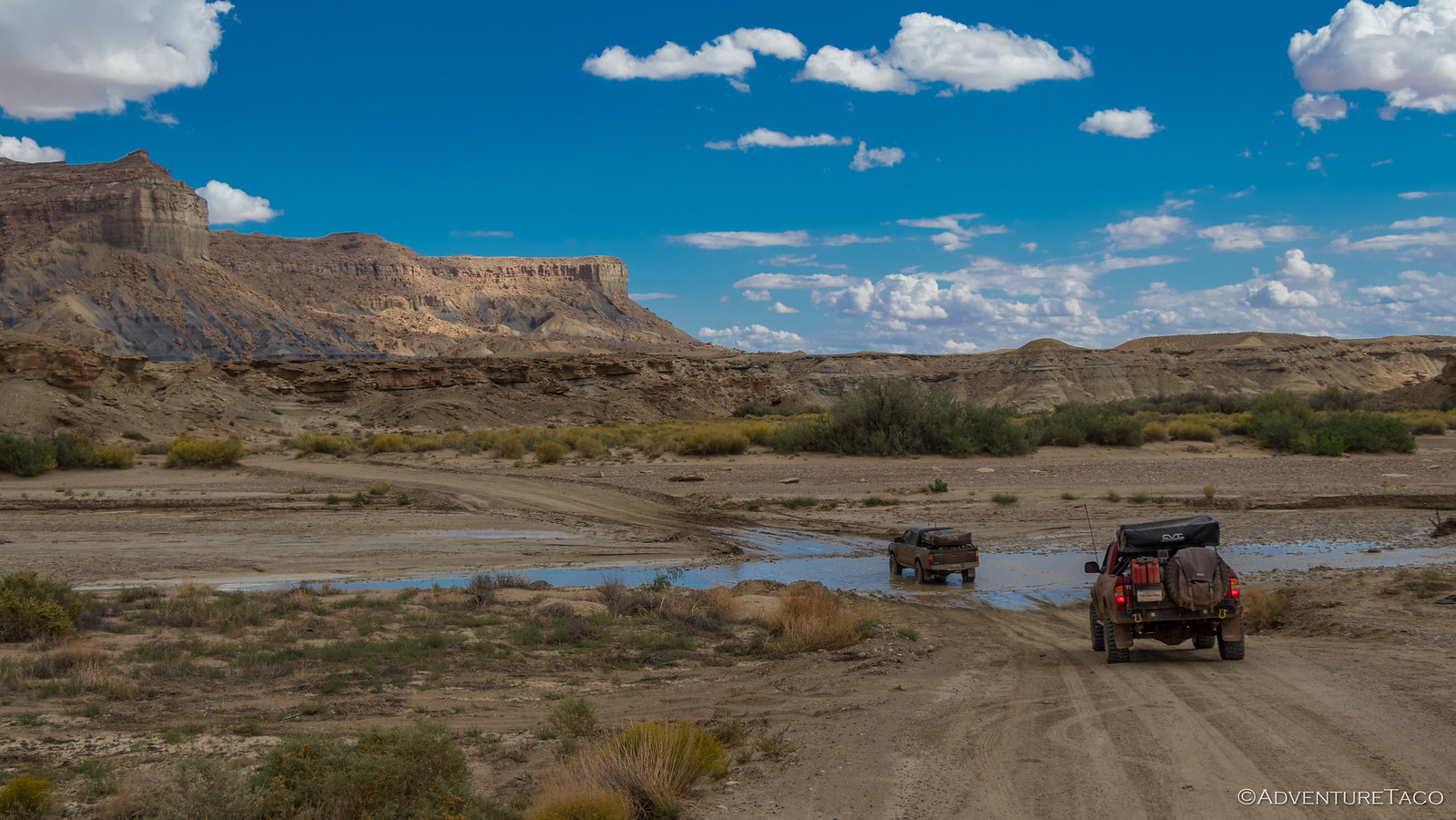
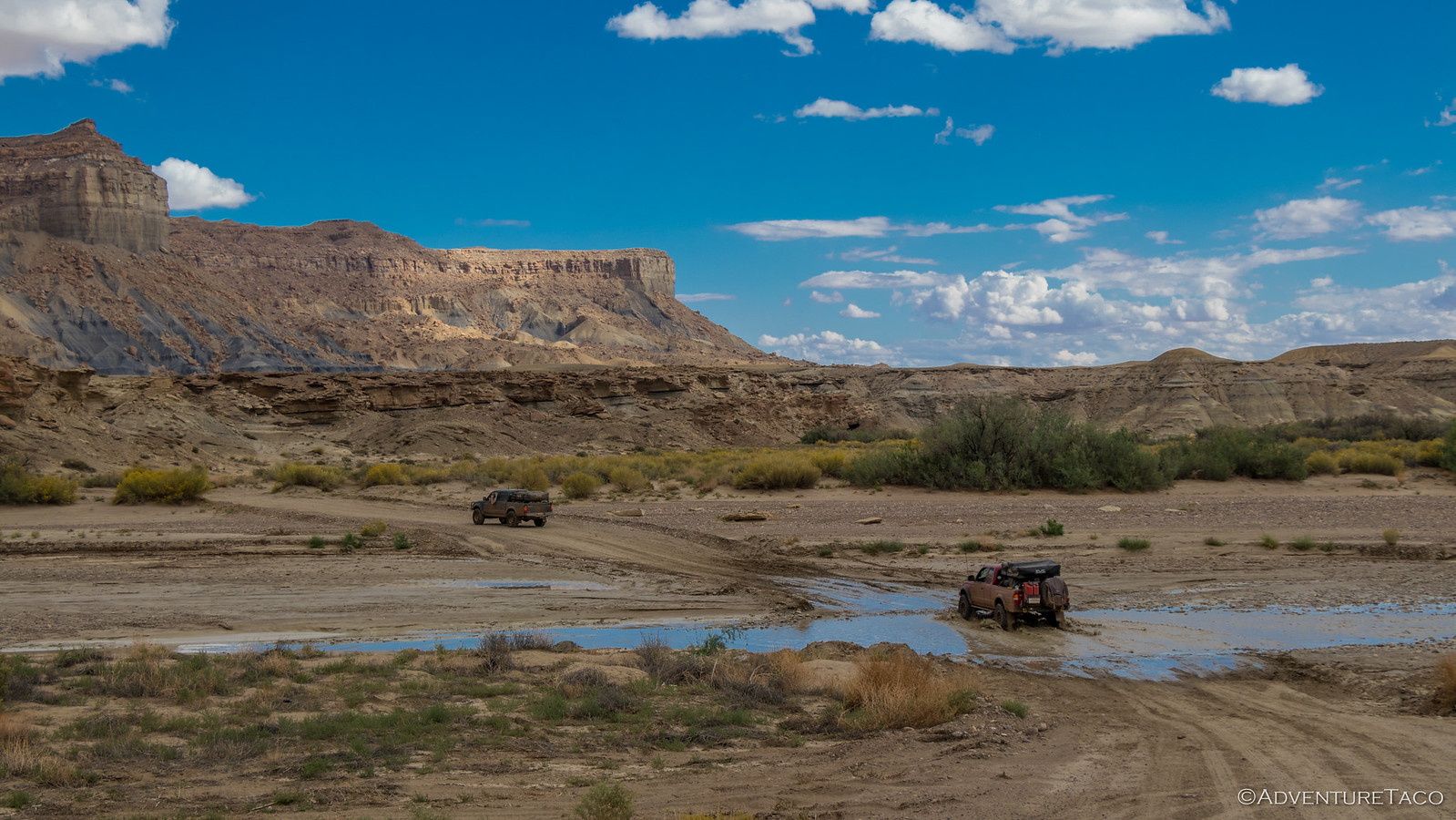
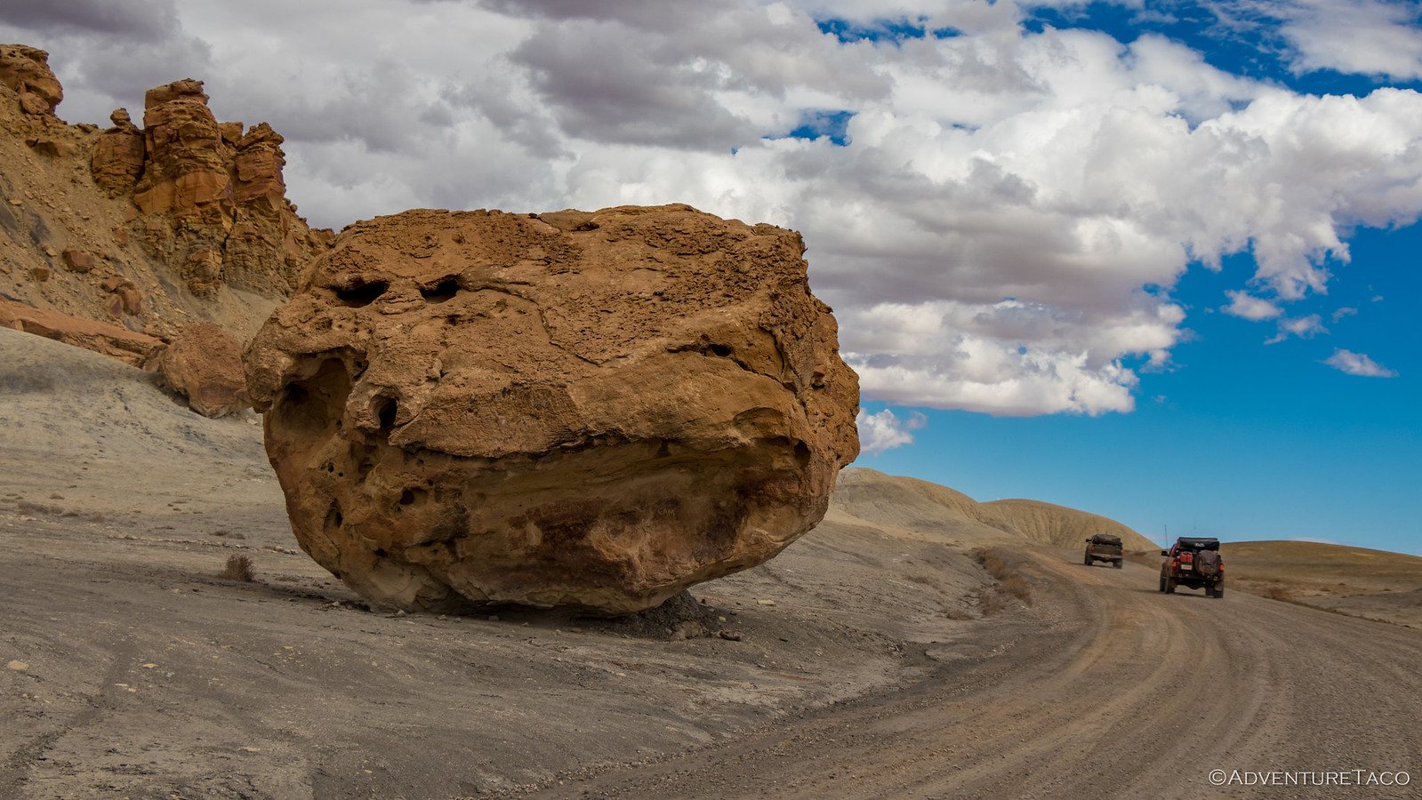
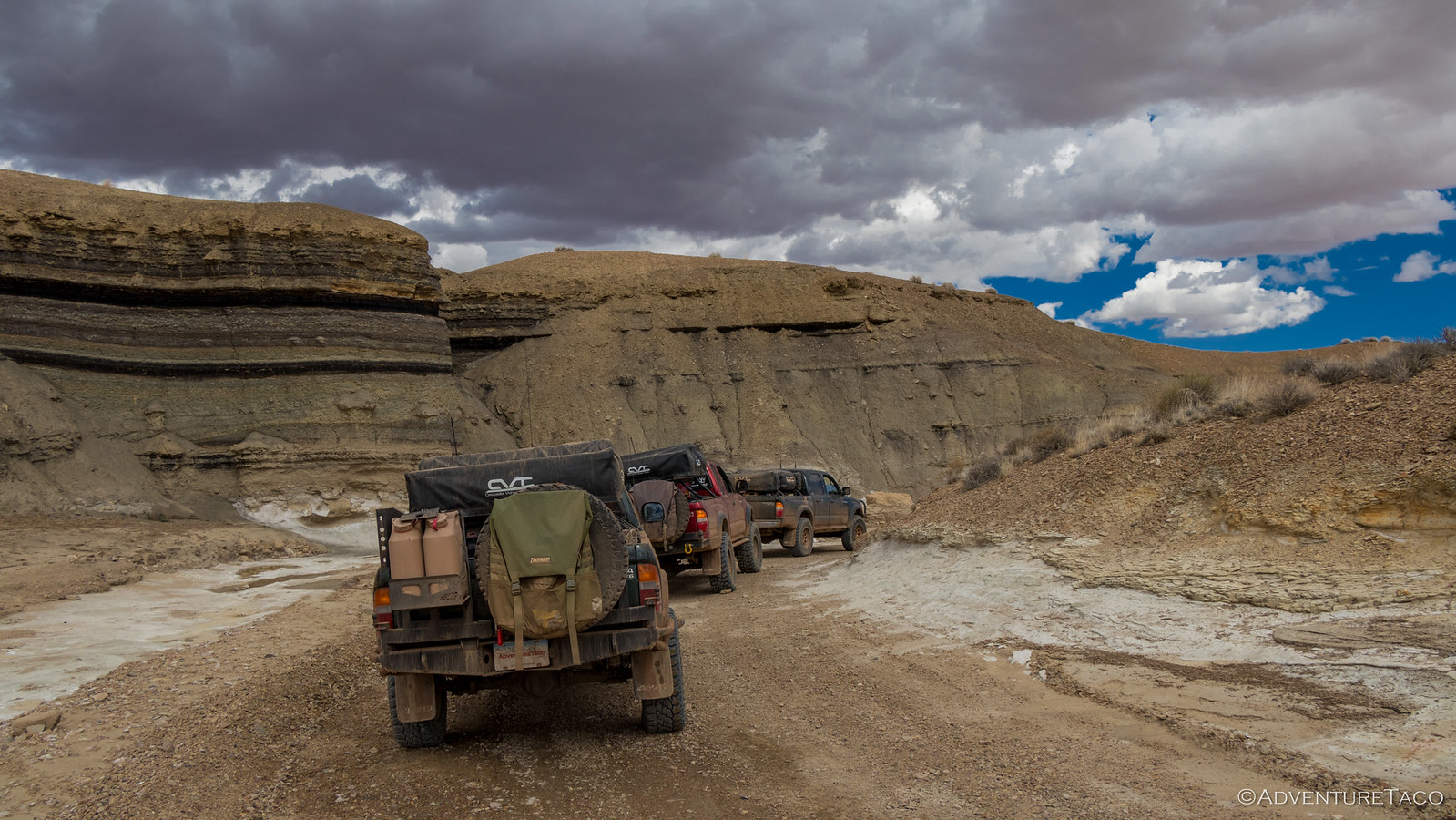
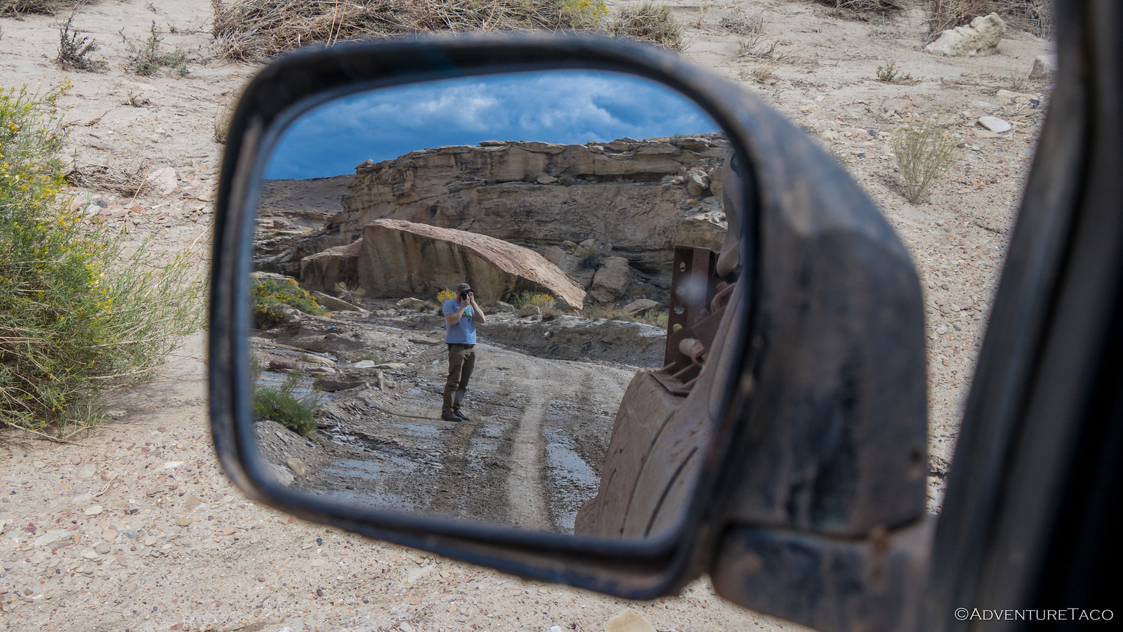
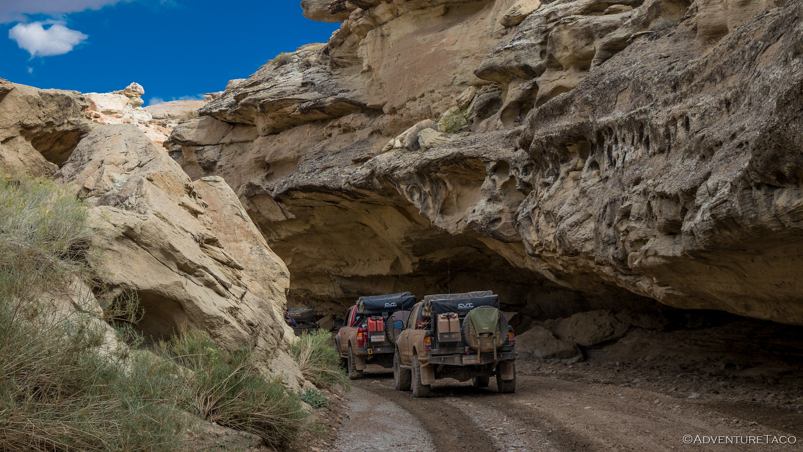
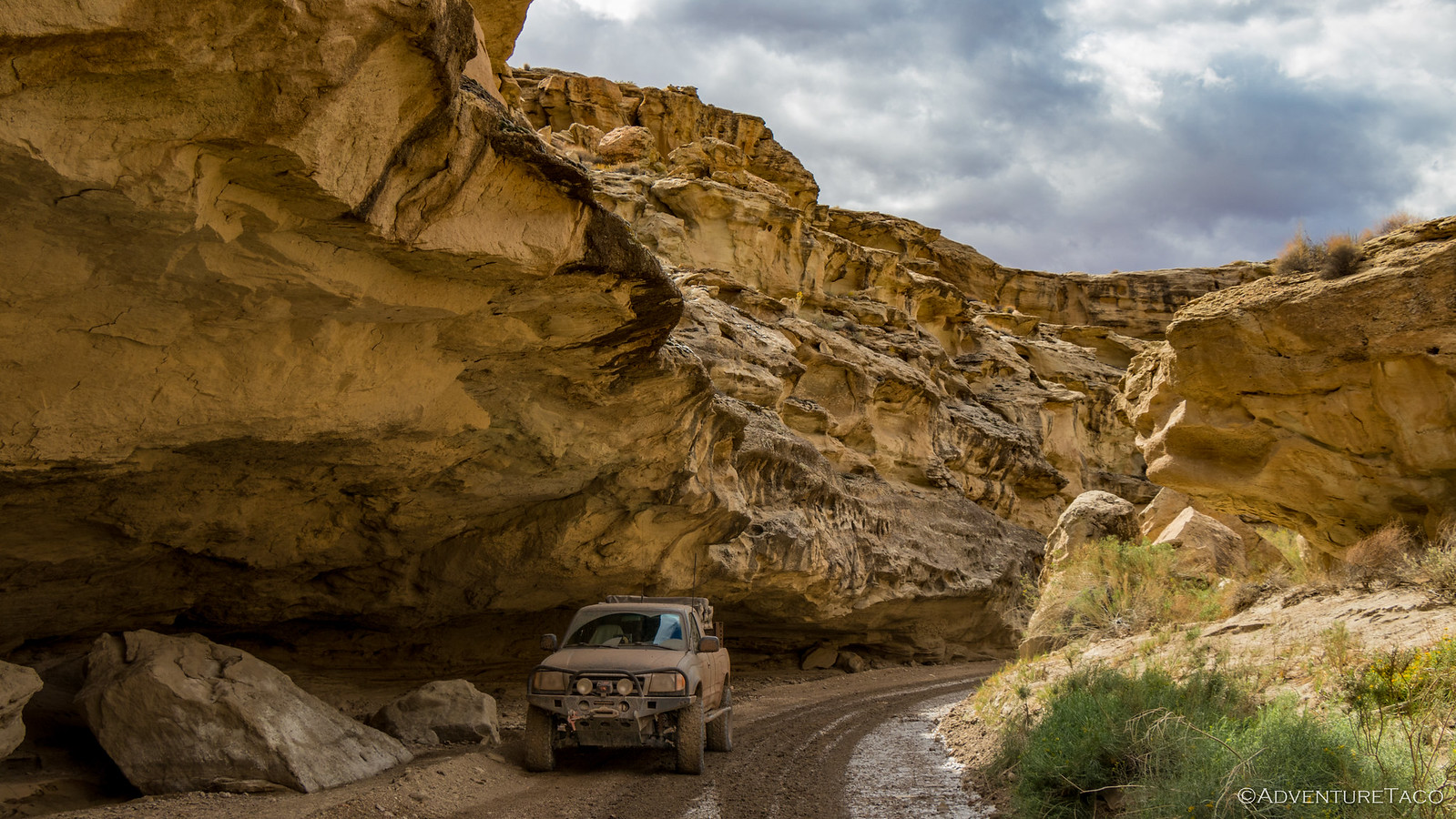
As we made our way toward Lake Powell, winding next-to-and-through washes that obviously wreaked havoc on the trail, we stumbled upon a huge undercut. This of course was something we had to capture - I mean, it's been this way for hundreds of thousands of years, there's no risk of it falling now... right?
We continued on - the lake obviously much further away than it's been in the (long) past. Us, driving through areas previously underwater; cliffs, outcroppings once submerged - then islands - and now pillars, all around.
Eventually, way out in the distance, we reached a spot where we could see the edge of the lake. Still a good distance away, and not all that dramatic a view, we decided that this was the end of our detour down Crosby Canyon - the cool part having been the drive down, rather than the final destination.
And so, we all got turned around and headed back out.
Back out to the moonscape and a short trek westward to a turn-off that Mike had been waiting for, for years - Alstrom Point.
As we made the turn, Monte looked back to make sure we were all together, and we wondered over the CB radio if we'd have the point to ourselves or if it'd be so crowded - this a Friday evening after-all - that we'd have to find a spot to camp somewhere besides the point itself.
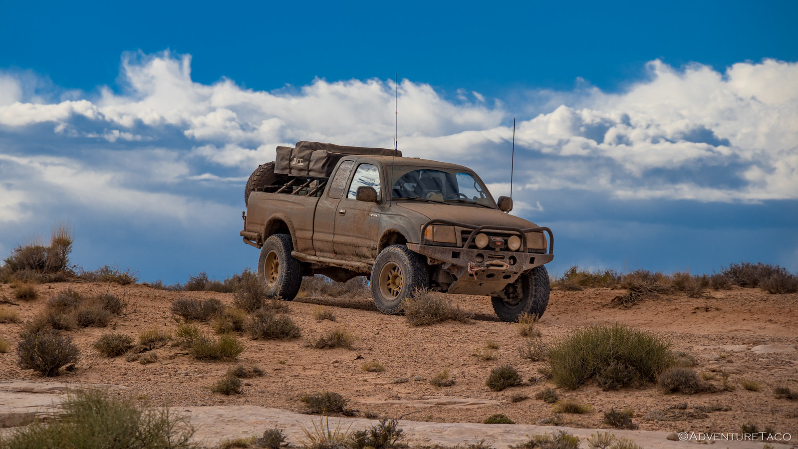
Unsure, we made good time on the road - passing a Tundra on our way, hoping that they were the only ones with a similar destination. Naturally however, as the lake started to come into view, we couldn't help but stop for some photos - the jagged fingers of water so spindly and irregular along the canyon floor.
We pressed on. Eager to reach our goal.
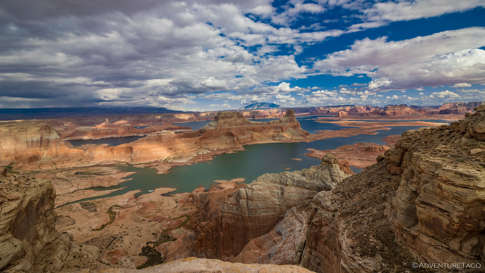
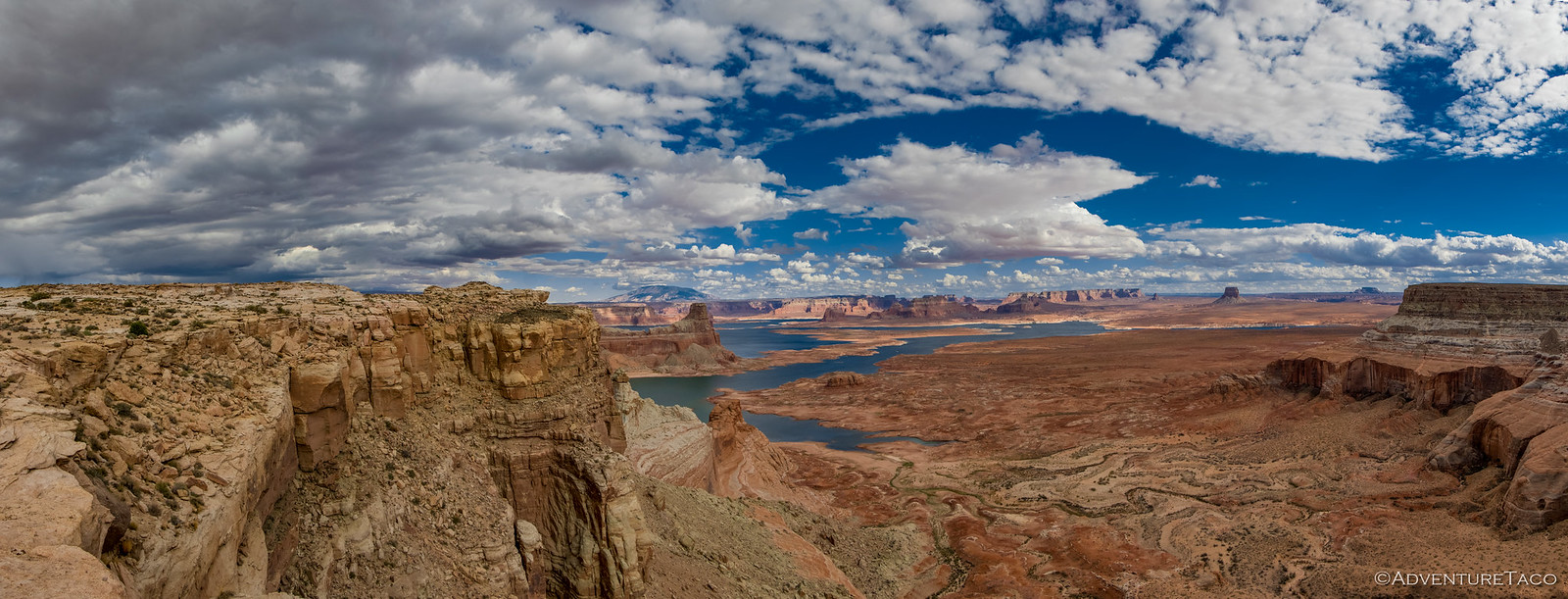
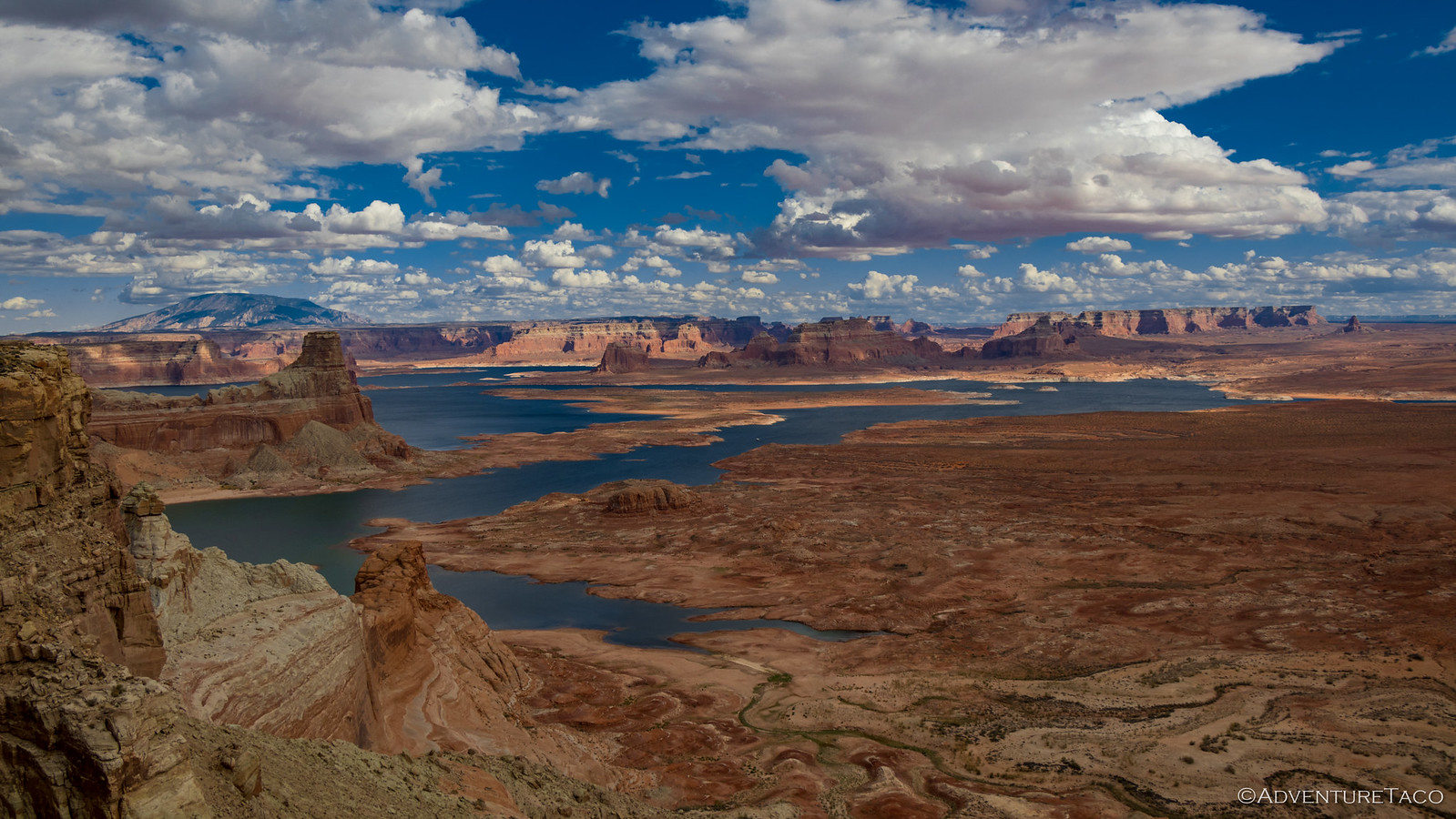
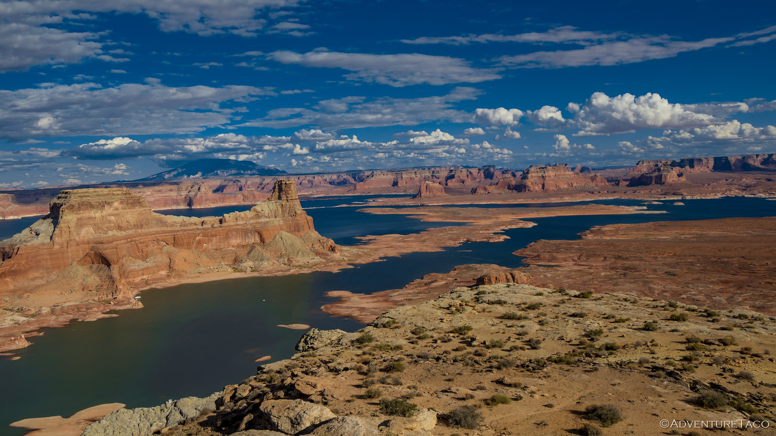
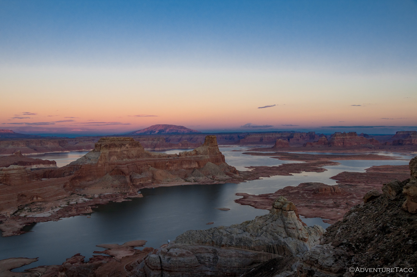
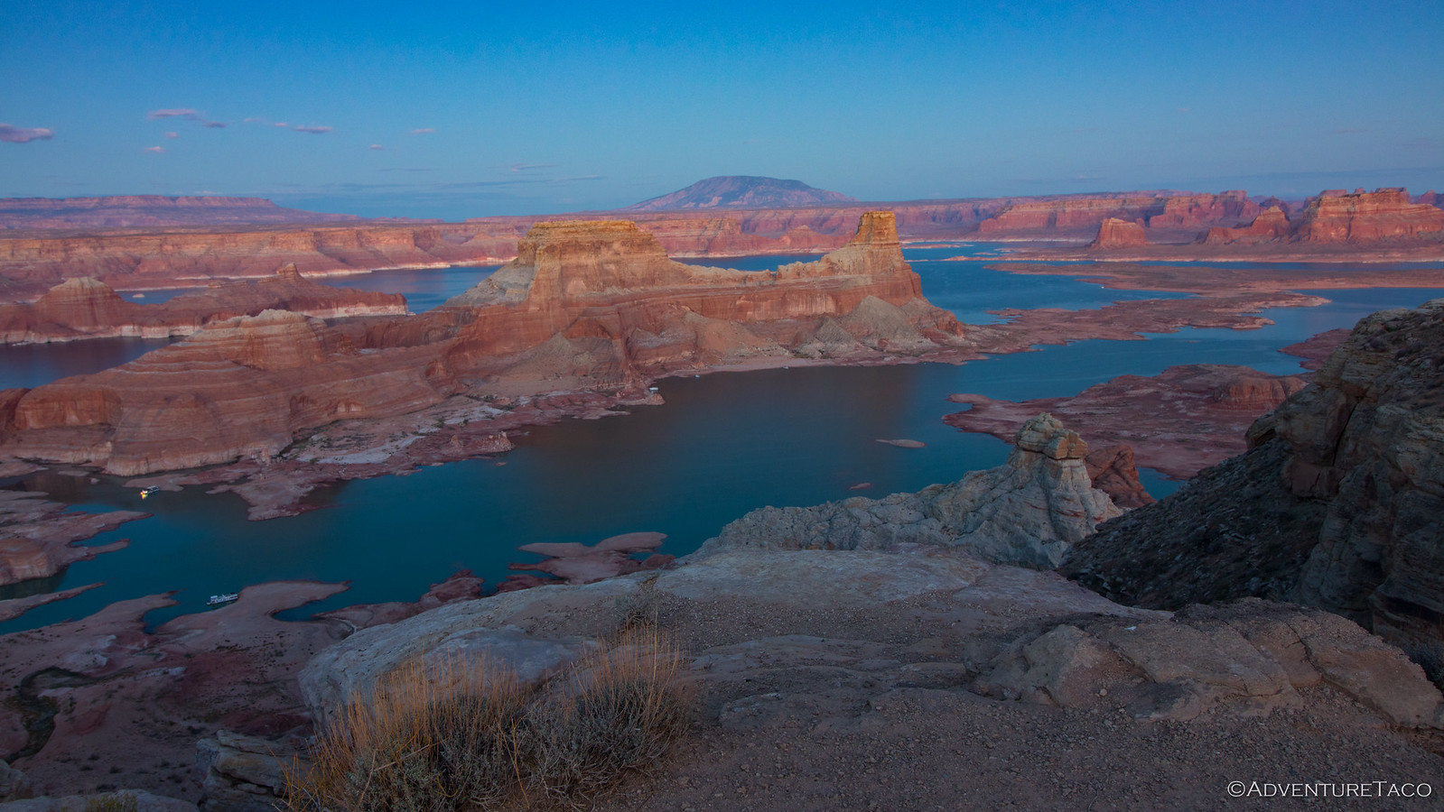
And then, we were almost there. We (or at least I) didn't totally realize it at the time, but camp was just over the next ridge when we came upon a spectacular view of Lake Powell. It was the most water we'd seen yet, and it was clear that we were going to be in a special spot, for sure.
I later realized that at least Mike knew we were close to the end (he was probably looking at the track on his tablet - imagine that!  ) because as Monte and I were snapping photos, he pulled away and headed over the ridge, where we later found him setting up camp at one of two camp sites that make up Alstrom Point.
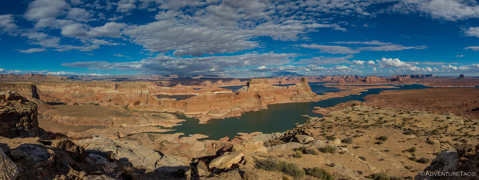
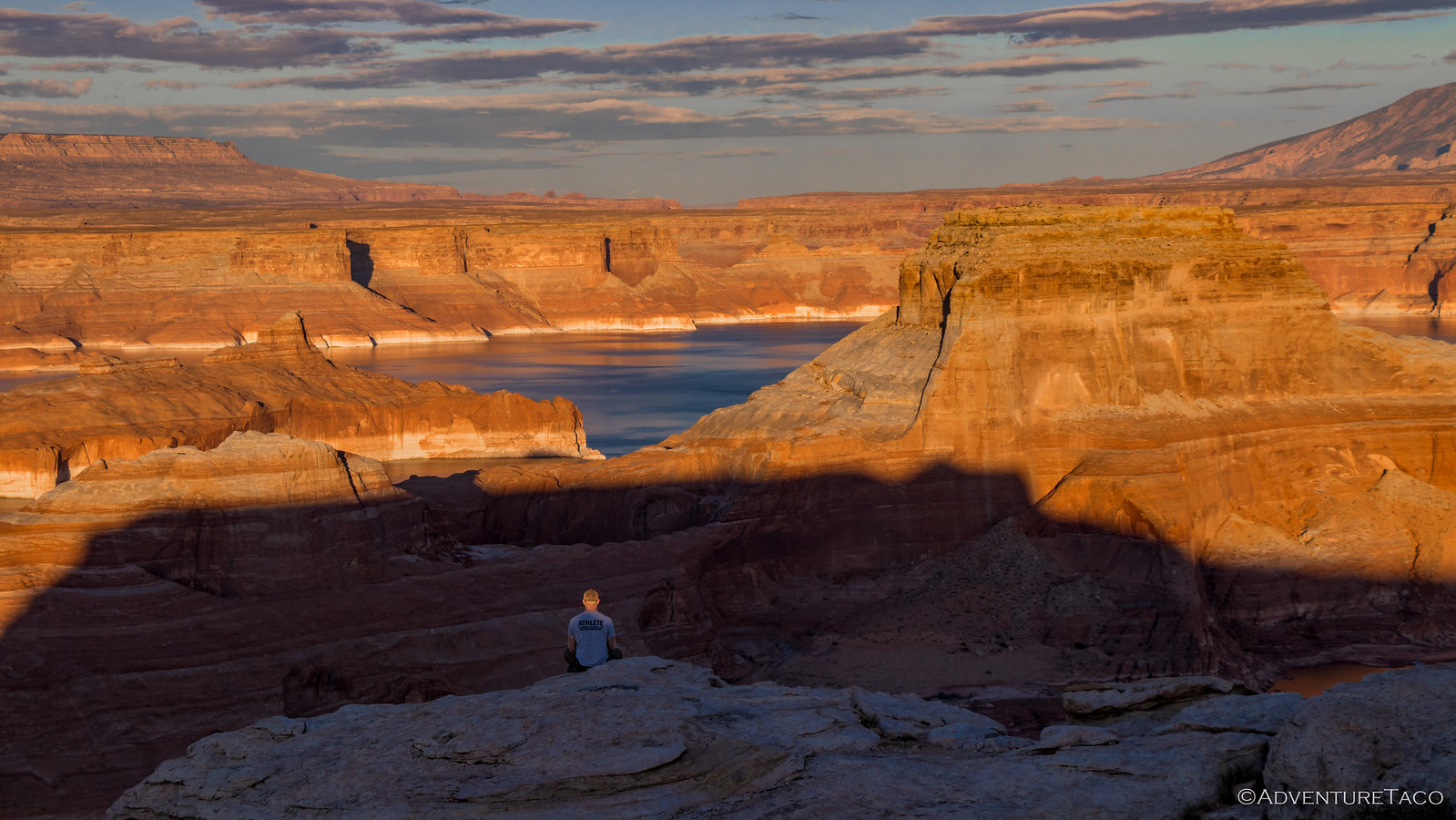
The view here was even better than the last. I suppose I'd have known what it looked like if I'd checked it out online before the trip, but it was such a nice surprise to see it for the first time when I arrived in person.
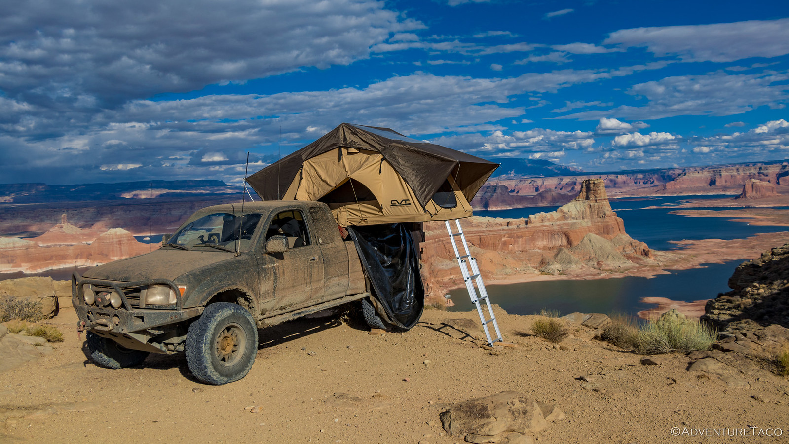
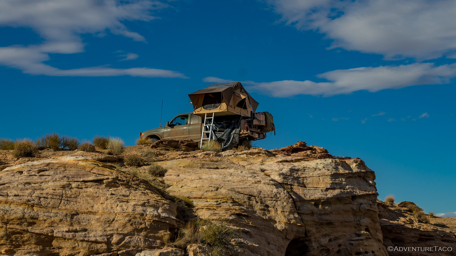
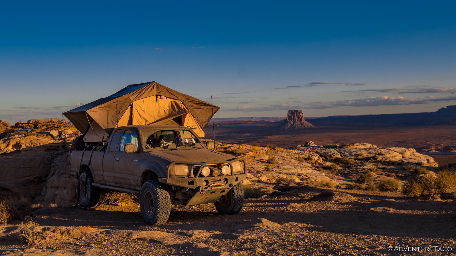
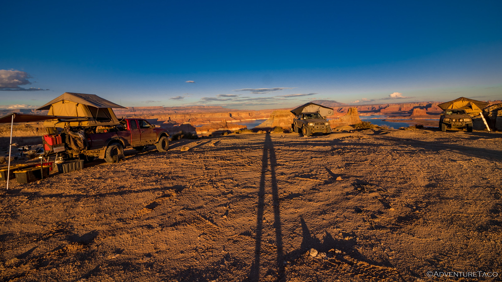
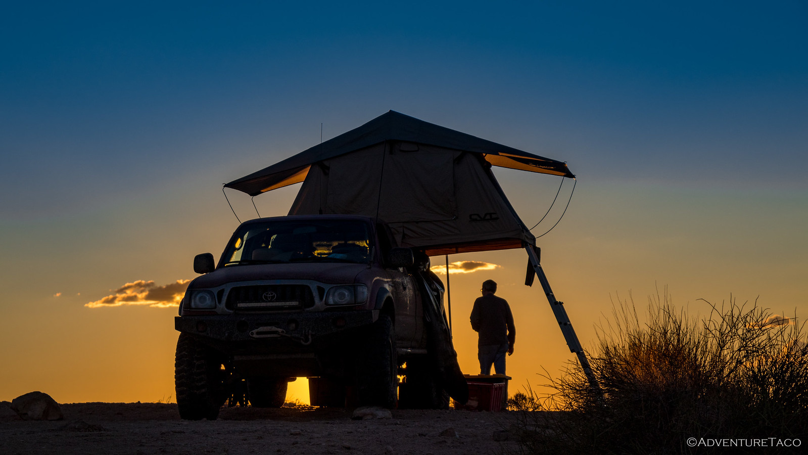
Initial photos captured, it was only then that I noticed (I was probably the last one to notice) that there was another group in the second site on the point. Oh well - they wouldn't be the best neighbors, and we wouldn't have it to ourselves, but it was still amazing and we set about setting up camp - and as per normal, I looked for a spot right on the edge. And, as per normal, Monte would eventually join me.
The weather was warm - over 80ºF - and with a slight breeze, we all kicked back to enjoy the evening. We chatted around the fire ring, walked out to the tip of the point, let our tents dry out after several days of dampness, and generally relaxed. I even pulled everything out of my bed to access my OSK (Oh Shit Kit), which had a replacement AC idler pulley - the one I'd replaced in Moab on The De-Tour already making noises at me just a year later.
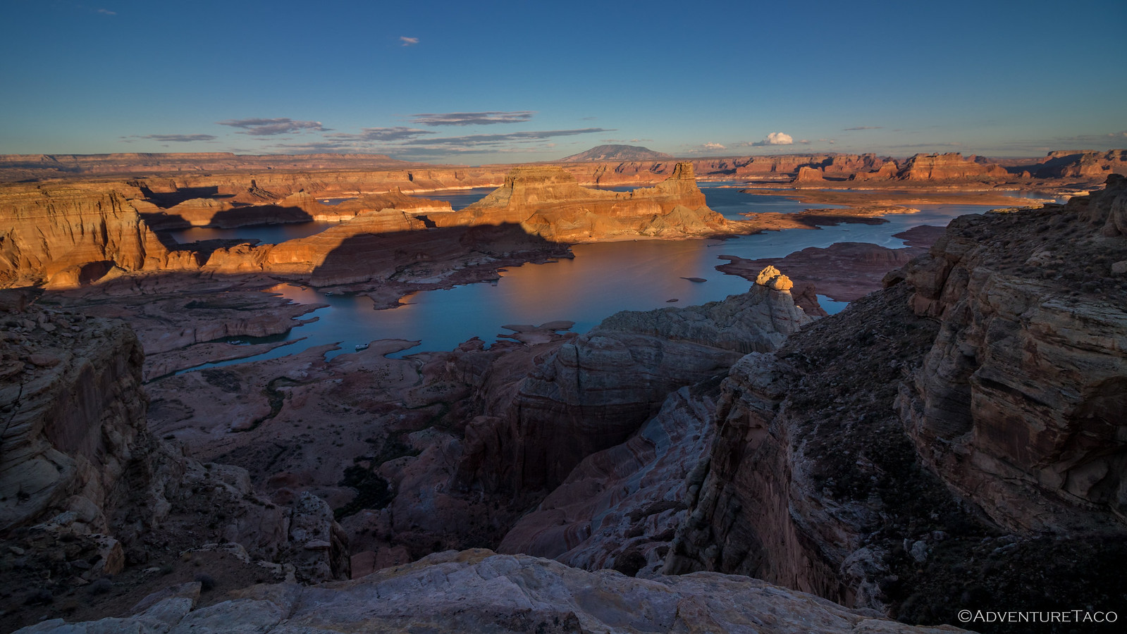
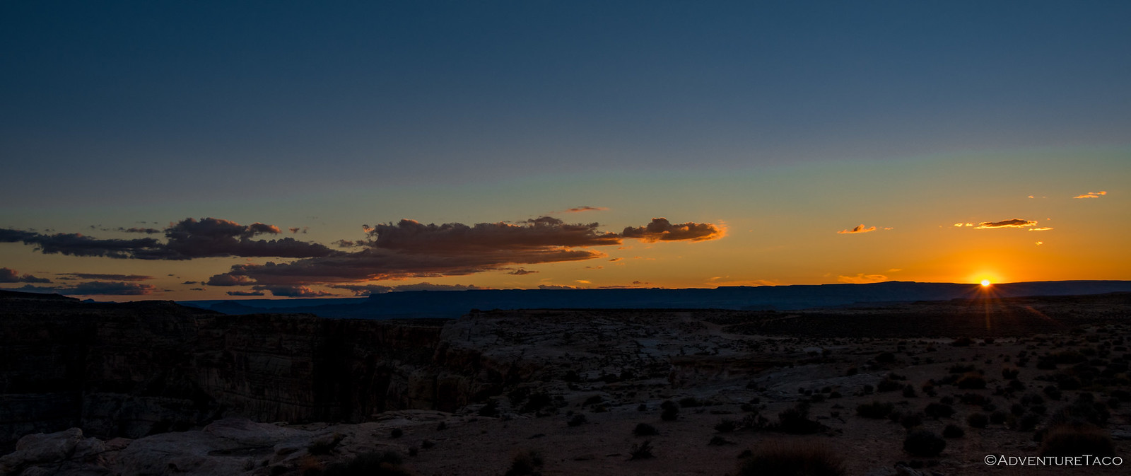
And of course, as the light changed and sun got lower on the horizon, we tried to capture it all; though in reality, there's no way to capture such a vast scene.
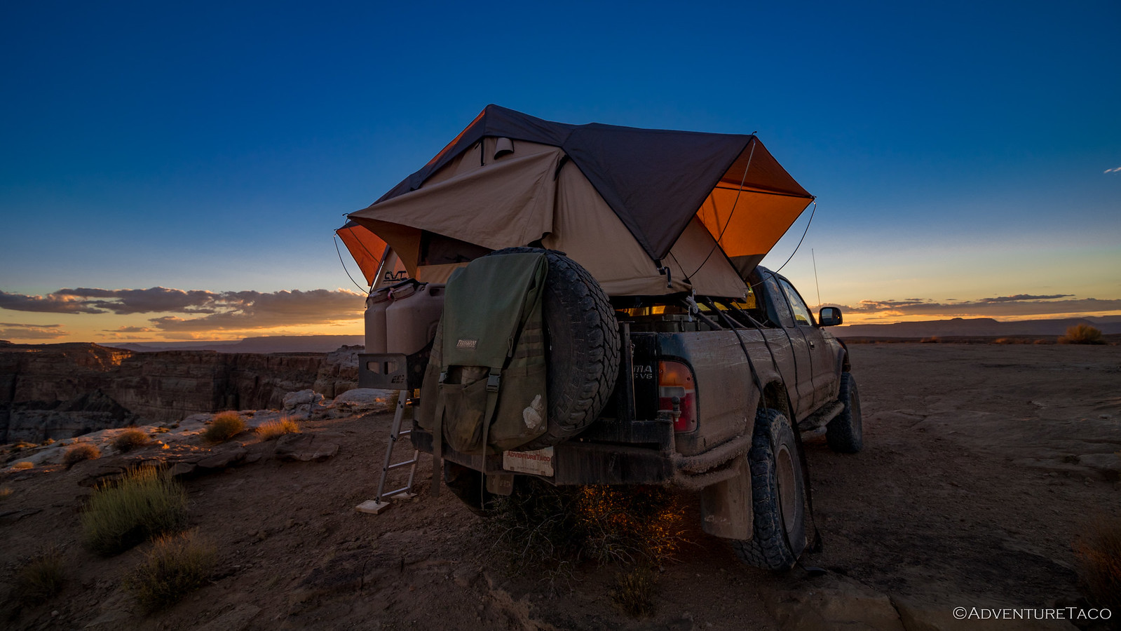
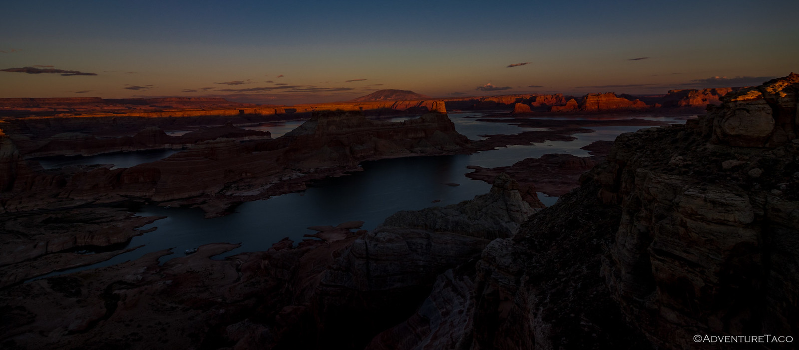
Before we knew it, the sun was actually setting - a whole new palette of colors revealing themselves across the landscape. More photos.
Then, something strange - at least, to me. Mike mentioned that he was really looking forward to the time just after sunset. That is when the light would be perfect (no shadows, Monte would later explain) to really capture some special shots.
Both Mike and Monte setup their tripods. I...don't have one.  I steadied my hand. I could do this. I hoped.
It was a special time for sure - fun to watch Mike (especially) really soak it in, this a bucket-list moment for him - something that's always nice to share with others who appreciate similar moments in life.
Eventually, we all realized that more photos would just mean more time sorting through photos after the trip, so we stowed our cameras and got to the main event of the evening: the campfire (and of course, dinner and dessert). On the menu this evening were the last of my tacos and guac - one of my favorite meals, and with a couple extra tacos, Mike got a meal out of it as well!
And, as Monte once again warmed cookies around the fire, our evening entertainment - below us, in the second camp site, the #instalanders decided it was a good time to get some action shots. You see, these folks had everything - it'd taken them hours to setup camp (I'm not sure if they'd every really finished) - and one of the vehicles they'd driven up was a brand new Jeep Wrangler Rubicon, apparently owned by a 16-17 year-old, who'd earlier been rolling the largest boulders he could find off the edge of the cliff.
At any rate, he and his dad had decided to drive the Jeep "into position" at the edge of their point - the son behind the wheel, dad spotting. Needless to say, to the three of us above, it was just a little entertaining to see the son start slipping his tires, hear the dad say "Put it in 4lo." and then hear "Whats 4lo?" get yelled out the window.
#InstaJeepers  . Oh, for the days of CJ5's.
Amazingly - perhaps because we'd gotten to camp, and the campfire early - we wound down the conversation around 11:30pm and climbed into our tents - by far the warmest night so far, me (at least) falling asleep on top of my bedding, a breeze blowing through all the screened windows.
So, so pleasant. And so different than we'd experience less than 24 short hours later...
