July 4, 2022.
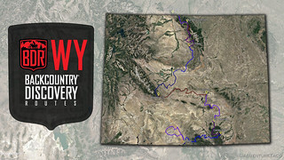
Just five months ago - almost to the day we set out - the Wyoming Backcountry Discovery Route (WYBDR) was released by the BDR organization. Totaling 967 miles and blocked by snow until summer, it winds through one of the last frontiers in America - some 48% of the state being public land - perhaps the most remote adventure of all the BDR’s created to date.
As always, we wanted to run a BDR this summer, and I'd had my eye on Colorado or Utah as both are always beautiful states through which to travel. But the pull of a brand-new route - through a state that I've done relatively little exploration of - was simply too great.
As we travelled the route, we couldn't have been happier. With a late spring and summer, we were the very first four-wheeled vehicle to complete the entire trail, parts of it inaccessible even just a week before we arrived. And, with no fires to speak of affecting the route, we enjoyed warm temps, blue skies, and a pleasantly varied terrain as colorful wildflowers and spectacular views presented themselves around every turn.
By the end we both agreed, it was our new favorite Backcountry Discovery Route. (Yes, the Nevada BDR and Idaho BDR are still pretty great.)
As usual, BDR routes can be found on the RideBDR web site. I always find there's a little work to get them into tip-top shape, but that just gets you a little more familiar with the route before you embark yourself!
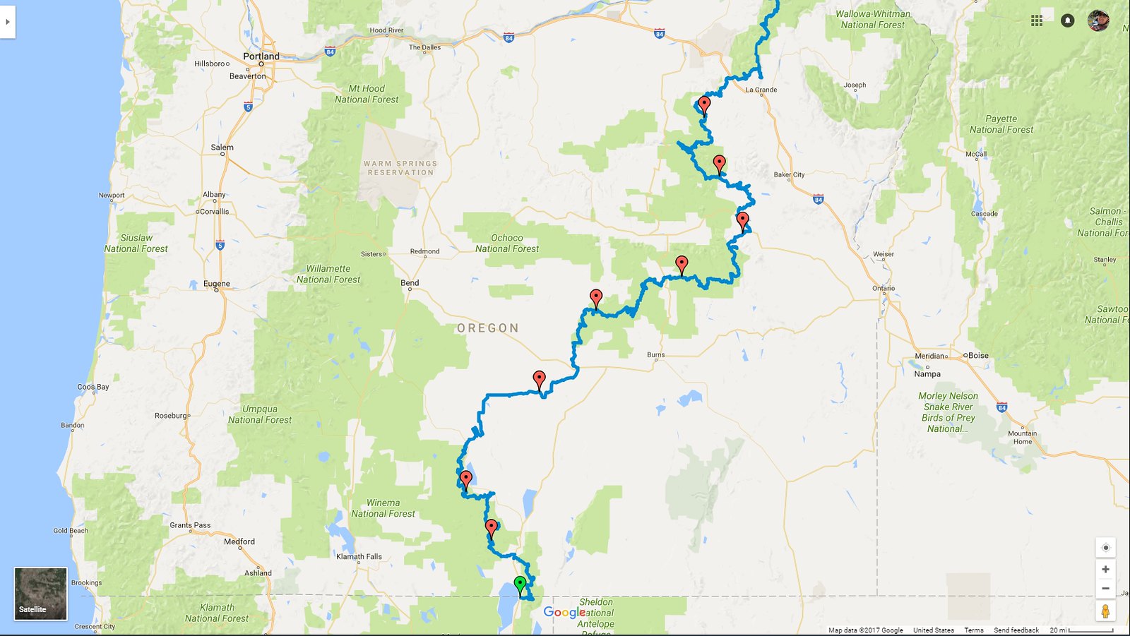
 I Think We're the First | WYBDR Prologue - There are several reasons that @mrs.turbodb and I like to run Backcountry Discovery Routes (BDRs). Some of them are selfish - the trip planning has been done for us by the good folks at RideBDR; some of them are nostalgic - our first trip in the Tacoma was on the Oregon BDR; some of them are practical - we know that the roads - generally - won't be all that difficult, making the trip more enjoyable for passengers; and of course, they also mean that we get to see a large portion of a state in a single shot, feeding…
 Red Desert - An Underwhelming Start | WYBDR X - Having arrived at our middle-of-a-random-field BLM camping location just after midnight, there was no getting up for a pre-6:00am sunrise. Rather, we climbed down the ladder at nearly 8:30am to temperatures that were already in the mid 70s °F. With no breakfast to make - as we'd decided to skip bringing milk in favor of more room for lunch and dinner fixings, we set about breaking down the tent and prepping for our first day on dirt. We still had a few hours to drive to the beginning of the trail, but then we'd be setting off on the first…
 Baggs to Centennial - "Yeah Buddy," Into the Sierra Madre | WYBDR 1 - Unlike most other BDRs we've done, getting to the start of Wyoming Backcountry Discovery Route, for us, meant travelling just a bit of the route backwards - south on WY-789 towards Baggs - first. And Baggs - it turns out - is a couple miles north of the Wyoming-Colorado border. So, upon arriving, we drove right through town - determined to run the entire route, from border-to-border. We were, we convinced ourselves, not cheaters! We may not be cheaters, but I guess we were faking it a bit. This wasn't really the first time we'd entered Wyoming! Well hello Baggs.…
 Centennial to Elk Mtn - Top of the World | WYBDR 2 - Having pulled into the Centennial Historical Museum for a photo of the train depot, @mrs.turbodb and I each spotted displays that we wanted to check out, so we popped out of the Tacoma for a few minutes to do just that. I headed over to an old Union Pacific caboose, and she wandered into the museum to see what sorts of historical information was available. One of the nicest cabooses I've come across. I've never seen the original system for running water inside before; I got a good chuckle out of the drain. Knowing what we had in store for…
 Elk Mtn to Alcova - A Most Welcome Detour | WYBDR 3 - We had a hell of a time getting out of Elk Mountain. Well, not exactly out of town per-se, but out of the Conoco fuel station along I-80, just a few miles away. With gas prices as they are, I'd downloaded the Conoco app to save $.10/gal; let me tell you - that thing is a piece of crap. Credit cards added to your wallet are "lost" from your profile every time the app is restarted, requiring all the details to be reentered. The problem is that you can only enter five cards total, and the back end seems to…
 Alcova to Atlantic City - Disappointment | WYBDR 4 - Heading out of Alcova, we were driving into the sun. I'm never a huge fan of this, since it makes it harder to enjoy the landscape into which we are adventuring, and I hoped that we'd find somewhere to camp quickly, or that we'd turn north so that the sun would at least be to the side. Not that I'd looked at the route and known that neither of those things were in the cards. When the sun is in your face and everything out the windshield is all shadows, remember - there's always a side view mirror! Before we…
 Atlantic City to Shoshoni - Through the Wind River Basin | WYBDR 5 - Heading out of Atlantic City, we were both looking forward to a leisurely stroll around the ghost town of South Pass and the nearby Carissa Mine. I actually envisioned them as similar to - but perhaps better than - the amazing ghost town of Bodie, California, which I'd visited the previous fall. As we approached, it was immediately clear that SOMETHING WASN'T RIGHT. We'd felt that Atlantic City had been crowded, but South Pass was something else entirely. Above the town, an entire hillside had been converted into a parking lot, and hundreds of vehicles - of all types -…
 Shoshoni to Ten Sleep - Wyoming's Utah | WYBDR 6 - Having arrived in Shoshoni extremely early in the morning, and with no refueling necessary, we rolled out of town as soon as we'd snapped a photo of the "Welcome to Shoshoni" sign on the edge of town. As we did, a couple dual-sport riders passed us in the opposite direction, and we wondered aloud if they were riding the BDR from north-to-south. Making our way along Badwater Road, toward the little town of Lost Cabin, a familiar theme appeared along the side of the route. There was no gas plant lining the public road, but there were plenty of wells…
 Ten Sleep to Burgess Jct - Beauty of the Bighorns | WYBDR 7 - We didn't stick around in Ten Sleep any longer than necessary - mostly for the same reason that we scurried from Atlantic City and South Pass the day before - people. I'm sure that all these places would be super fun to wander around mid-week, but on a warm summer weekend they were just a little too crowded for our liking. It was on our way out of town that we realized why it was so crowded. Sure, the road we'd traveled into town may have been beautifully reminiscent of Utah, but it certainly hadn't warranted a quadrupling of the population.…
 Burgess Jct to Montana - Grand Finale | WYBDR 8 - Unlike most stages of the Wyoming BDR that were between 100 - 150 miles, the final stage was a mere 43. Surely, we thought, we'll be done in an hour or two tops. Naturally, we were mistaken. Already remote - starting from the junction of WY-14 and WY-14A - crossing the highway immediately landed us on gravel roads where we wondered aloud what we'd do once we reached the end of the route. It was a bit of a mystery given a few salient points: Ending where it did, the BDR technically terminated at a border between Wyoming and the…
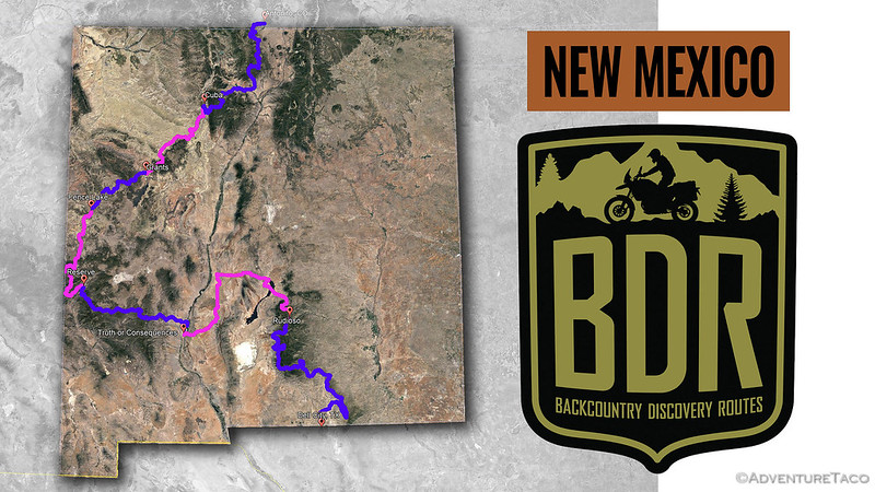
 What a Great Route | WYBDR Epilogue - The Wyoming Backcountry Discovery route is our 6th BDR in as many years. Through the running of each one, @mrs.turbodb and I are - as you can imagine - regularly comparing the current BDR to the past ones. Starting last year, with the New Mexico BDR, I finally started writing some of these down, and of course - I now feel obligated to carry on that tradition into the future. I like to think of it - a little bit - as a Rig Review for the BDR route. TL;DR - The Wyoming BDR blew our socks off. Before leaving, we were…
Love Backcountry Discovery Routes? Check out
BDRs we've run
to find your favorite.


Just finished this route 7/15 via 4WD and found that section 4 after the Beaver Rim Overlook is badly washed out. Passable via motorcycle but 4WD will have to leave dedicated road/trail to make it through some portions, which isn't very Tread Lightly. I recommend 4WD turn back at the Beaver Rim and go around to where it crosses the highway - this will avoid getting stuck or rolling truck and ensure environment is protected. Also worth noting that the ranchers in the area of Beaver Rim are already complaining to BLM about how the adventure bike crowd is behaving near the livestock so I'd get after this route while it's open.
Hey John, we ran the route July 5-11 (including the Red Desert Stage X) and didn't have any issue at all staying the trail there on Beaver Rim in Stage 4, which we hit early morning on July 9, headed east-west (we ran the BDR south-north). Did you feel like the difficult segment was north or south of the point where you cross US-287?
Unfortunately for us, July 9 happened to be a Saturday, so when we got to Atlantic City (and then South Pass) around lunch time, "Gold Rush Days" were going on, so we couldn't explore the South Pass or the Carissa Mine! Other than that though, we had a great time on the route!
(Edit: do you have any photos of the rough section? I'd be happy to take a look or include them here if you do.)
These BDR are very appealing with routes checked out. So to take this a step further--are they routed for what main purpose? remoteness-sights or scenic? Then what percent are 2-track?
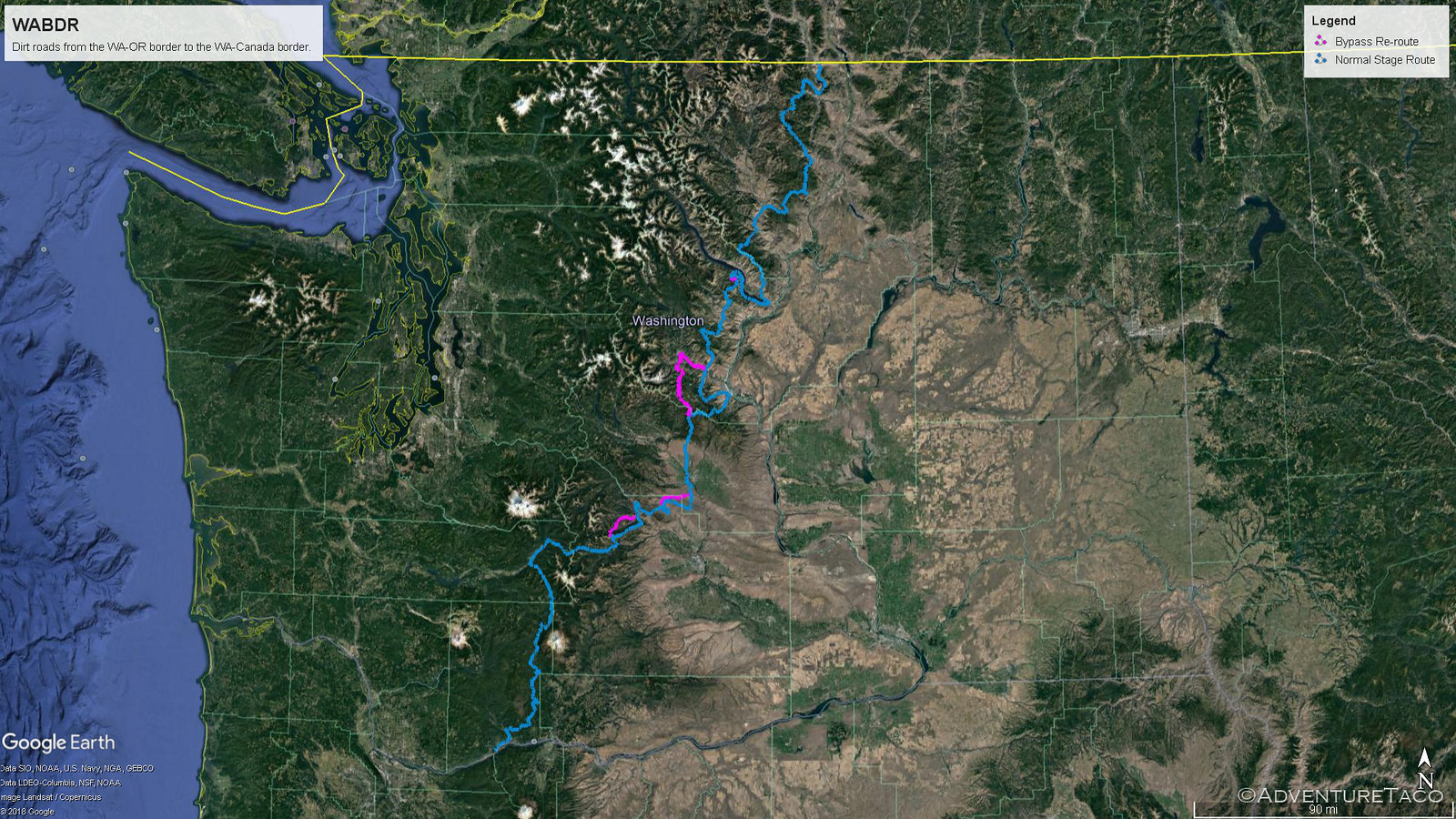
Lastly we did chicago to bellingham washinton and I noticed the great major railroad old road bed was on the same path as were we. Evidently at great cost-The milwaukee or great northwest RR built an all electric line. It was freight! this line went next to us in Montana and Idaho.
Do you know of any trans continental abandoned RR beds that have reverted to roads?
Between 1912 and 1914, the Milwaukee Road constructed a 2.3 mile tunnel under Snoqualmie Pass. The surface right of way over the Pass was abandoned after the tunnel was put into use. In 1915, a two-lane road over Snoqualmie Pass was built near the old Milwaukee road’s surface route, called the Sunset Highway, creating a permanent transportation corridor connecting eastern and western Washington. In 1917, the Milwaukee Road was electrified through the Bitterroots, giving the company the longest electrified mainline in the world.
https://mtsgreenway.org/blog/legacy-of-the-milwaukee-road-railway/
Hi Mark,
First off - that's pretty cool about the rail beds. I don't know of any that have been converted - at least over long distances - to roads, but it'd be fun to travel one if there were!
For the BDR - the real goal is a dual-sport (motorbike), mostly dirt road, from south-to-north, through a state. You can read more about them (and their goals) at ridebdr.com.
Each one varies, but I'd say they range from 70-90% well-graded gravel roads, with the remainder split between pavement and two-track. They are generally not difficult, as (a) difficulty isn't the goal, and (b) they are targeted at bikes, and everything is a bit sketchier on a bike.