
Visiting Grand Gulch for a day hike requires a pass, and camping below the rim requires an overnight permit. Both are inexpensive and help to fund our public lands. They need our support more than ever.
For more information, check out BLM Utah Cedar Mesa Permits and Passes Information.
Putting Bannister House behind us for the time being, we continued our trek through Grand Gulch towards Pollys Canyon. There wasn't a chance we'd make it all the way in a single day - that would be backpacking insanity - but we still wanted to get a few more miles under our belt before calling it quits for the day. In fact, we were hoping to get to the Big Pour - where I'd heard from the BLM that there was some "doesn't look great" water, since it's always nice to have plenty of water for dinner, a face wash after a long day of hiking, and breakfast in the morning.

Plus, we thought that getting to the Big Pour would set us up well for our planned day 2 and day 3 segments of the trek, since it would mean that we would have covered 7.9 miles of our planned 24. Although, I'd be remiss if I didn't mention that by the time we got to the Big Pour, we would have actually hiked a bit more than 14 miles, perhaps a bit of an indicator that we still had a long way to go.
Still, just because there was still a lot of slogging through sand in our future, that didn't mean that we were going to stop looking for the ancient treasures in this part of the Gulch, and soon we were once again wandering off the main route in search of little men and their handprints.
When visiting rock art and ruin sites, be respectful.
This is most easily done by following the Leave No Trace principles; leaving the place exactly as you found it and taking with you only photographs and memories. In case that is not clear enough for some reason, here are examples of respectful behaviors:


A little after 2:00pm, we heard the first boom echo off the canyon walls. The clouds that'd formed around noon - and had been blowing by for the last couple of hours - had turned a bit darker, and we could see in the distance that we might be in for a bit of rain. Or at least, that's what we were hoping for!


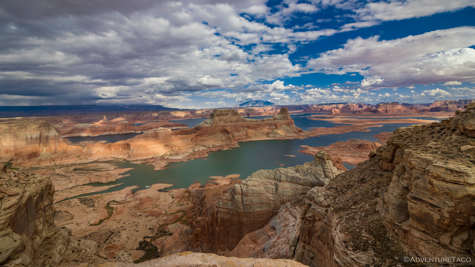
If there's one thing that's true about the water that has flowed through the Grand Gulch, it is that the water was in no rush! Each bend seems to loop back entirely on itself, turning 180° some 20 times in the 12-mile stretch in which we found ourselves on this particular adventure. This of course makes forward progress seem impossible - or at least, harder than it should be in an age of airplanes - but does have the side benefit of leaving plenty of nooks and crannies in which those who came before us could stash little granaries or establish well-hidden habitations.


The key to finding a lot of these little secrets - which most people who hike the Gulch never encounter - is to get up and out of the wash. There are plentiful use trails that climb the sandy banks - mostly to avoid the muddy pools that decorate the bottom of the channel in early spring - but even these are sometimes not enough to find the pecked panels and colorful canvases that were once the playground of Native Americans who called this place home. Rather, one needs to find a way up - usually onto the first or second bench above the wash - and then skirt along its narrow edge. As a side benefit, you escape the sand, as well!


Nearing the mouth of Deer Canyon, the thunder that'd been crashing around above us continued to get closer. This wasn't something we could tell by the time between a flash of light and the subsequent explosion of air - it was much too bright to see any lightning - rather, it was the little dots that began appearing on the sand around us. Rain!

Hoping the sky would really open up - who doesn't like a good flash flood, am I right? - we pushed through an opening in the canyon wall in search of both water and more ruins at the mouth of Deer Canyon. Initially, we found neither!
A bit dejected - Deer Canyon had been one of two places that my BLM contact had suggested we could find water - we were about to continue on toward the Big Pour when @mrs.turbodb decided to head a little further up canyon in search of water.
"Found it," she hollered to me from somewhere further up a fork of the canyon. That was my signal to wrap up my now-slightly-frantic search for the "missing" ruins, and head over to her location to check out the state of the life-saving liquid.

Scientifically speaking, the water quality could be described as 'alive.' Multiple larvae were spazzing near the surface, apparently training for something. Still, it was, technically, the clearest water we'd found all day. And, since the raindrops hadn't developed into anything that would send a torrent of fresh water into the sandstone pockets around us, that meant that - even though it was only 4:30pm - it was time for dinner so that we could use up as much water as possible before refilling our containers and continuing on.
Dinner was Pad Thai with Chicken for me and Butternut Dahl Bhat for @mrs.turbodb. Both were quite good, though I think they would be more accurately described if they had the word "Inspired" somewhere in their names. Still, it was very nice to get off of our feet, drink as much water as we desired, and fill our bellies with the near-infinite calories that each dinner pouch seems to contain.

By the time we were done - our packs once again at their heaviest - an hour had passed. Now, with only a couple hours before sunset, it was time to push on - we had another mile until we wanted to start looking for camp - further up the Gulch. First though, one last look for those ruins.


Our feet rested and spirits high, we pushed our way through the underbrush and back out to the Gulch. We were in a particularly vegetated section, and the golden sandstone cliffs towering above made for a lovely sense of tranquility in the trees.


We'd find one more set of ruins as we made our way toward the Big Pour. This one - nestled under an overhang - had a tall, narrow door that didn't seem to match any of the flat rocks usually propped nearby to cover the entrance. I wonder if these were placed later, or if they never got around to finding the perfect match.

And then, the sun not officially set, but having already dropped below the rim of the canyon, it was time to find camp. If experience has taught us anything when backpacking on Cedar Mesa, it is that the best place to camp is on rock. Not only is it not sandy, but as it is usually out of the wash, there are far fewer bugs, better views, and a nice breeze to cool us off after a long day of hiking.


As quickly as we could setup the tent, unroll our bags, and brush our teeth, we were horizontal. With only about 3½ miles between us and our turnaround point, we'd made it further than I thought we would. And that meant we could slow down a bit for the remainder of the hike. Theoretically.
The following morning...
It's always much more pleasant to hike in the cooler temperatures of morning, so we were up just before sunrise to start packing out gear.

One of the great things about having @mrs.turbodb along is that we sometimes end up doing things in an easier way than my neanderthal brain might otherwise attempt. On this particular morning, a suggestion that carry only a bit of water in our packs - and leave everything else at camp since we'd be coming back even before lunch - was quickly adopted, and soon we seemed to almost be floating as we enjoyed the cool air in the canyon around us.


I really wanted to get up to check out these ruins, even going so far as to find an access point to the shelf on which they were nestled. However, after climbing over two defensive walls, I found myself at a rather steep, narrow section of shelf that I could probably navigate without plunging to my death some 50 feet below. Luckily for me, having an audience - one that was smart enough to watch from below - made me second-guess my decision, and soon I was headed back down to a less dangerous section of the canyon.

Anyone who's hiked the Grand Gulch - and paid attention to where the ruins and rock art nestle into the curvature of the canyon - know almost everything is on a single side. I've always chalked it up to orientation to the sun - though I'm not sure that reasoning would stand up to looking at a map, given the undulating path of the canyon - but I'm sure there were good reasons for putting most everything on one side.
Except for Wrong Side Ruin.
This is one of the more extensive ruins, and yet unlike Bannister Ruin, there's no ammo box with BLM paperwork. Perhaps this is due to lower visitation - no one is looking on the wrong side! Luckily, I've been referred to as a nobody for decades, so I found it right away.


Even after poking around for half an hour, it was only 8:15am when we dropped back down into the wash to tackle the final stretch of trail between Collins Canyon and our previous entrance to Grand Gulch at Government Trail. I didn't have any points of interest marked in this section - which is definitely no indication that none exist - so 45 minutes later and almost exactly 24 hours after we'd departed, we'd reached the terminus of our hike.
Or maybe more correctly, the halfway point.

Reaching this point - with light packs and cool morning temps - had been relatively easy, and as we flipped ourselves around to begin the 14-mile trek back down the canyon, we marveled at our early progress for the day. It seemed that we'd be back to camp - with 7 miles under our belts - well before lunch, leaving us plenty of time to head toward the trailhead, hoping to find more slickrock to call home for the night, somewhere around Bannister House ruin.

Even the best laid plans are subject to change, and after returning to gather up our stuff, we found a nice shady bend in the trail - which, yes, describes essentially the entire length - to enjoy another round of PB&Js, an apple, and some tasty chips as part of an early lunch.


It was about the time that we arrived at the Big Pour that we realized we were right on the edge of being able to make it all the way back to the trailhead by sunset. Neither of us felt a need to do so - hiking 17 miles, with 30lb packs, in a single day was not our plan - but ultimately, we decided we should play it by ear. If we were able to find a reasonably level slickrock bench somewhere between Bannister House and the mouth of Collins Canyon, we'd stop. Otherwise, setting up the tent in sand - and dealing with the gritty fallout of that situation - was a rather unattractive option, especially with the much more comfortable sleeping conditions at the Tacoma as the alternative.


One foot in front of the other, we retraced the trail that we'd travelled only a day earlier. As the miles ticked away, we paused for frequent rests in the shade. Unlike our upstream journey, the sky remained a brilliant blue above our heads, the sun beating down relentlessly on the orange landscape, heating everything around us as we yearned for shade.

It was 4:00pm when we arrived at the Bannister House, a little more than 5 miles from the Tacoma. This was our last chance to gather up water, and that meant that, despite the early hour, it was dinner time. Today we'd be sharing our meals, each enjoying a bit of Chicken Teriyaki Rice and some Garden Mac and Cheese. Both were good, and while the Mac and Cheese had too much cheese sauce for my tastes, it was far and away the most "normal food" looking meal we've tried, and I think it would be my favorite if I'd only added a quarter of the cheese dust packet!
Just as we were tucking into our bags of mush, voices drifted up the canyon. We hadn't seen anyone the entire time we'd been in Grand Gulch, so it was an exciting moment when three hikers appeared around the bend. It turns out that they too had entered via Collins, and were planning to camp here - near the water - for the evening, eventually making their way out via Bullet Canyon. After sharing with them the water situation for the majority of their journey, as well as a short history of our various sojourns into this wonderful spot, we bid each other a good evening and parted ways.

We never did find a flat slickrock surface on which to deploy our tent, and as we turned up Collins Canyon, we decided that we were close enough to the truck now that we might as well just keep going. Because who doesn't hike 17 miles with a full pack in a single day? Amateurs.


Back at the truck, we quickly got the tent set up and the little bit of food we had remaining removed from our packs; everything else could wait for the morning. We broke out a few washcloths and let me tell you: there's nothing better than washing two days of sweat and grime off your body with purified water that only a couple hours earlier was full of wiggly larvae.
And with that, it was time for a well-deserved rest.
The next morning - nearly a day ahead of schedule - we headed out across the Grand Flats toward St. George, where we'd roast in even warmer temperatures through the better part of the afternoon. A lesson learned - sometimes it's better to just slow down and stay a while when you're wandering around the Grand Gulch!

The Whole Story


So many cool photos! Thank you for going places I could never imagine visiting.
Thanks Sherry! Glad you enjoyed them, and always nice to have you along!
Outstanding! Many thanks for sharing your adventures.
Thanks Tom, glad you enjoyed this one. I thought you might!
Another spectacular trip for the books. These are places most will never experience except through your journeys that you share with others.
Thank you!
I always imagine how life would have been for the rugged and resourceful people who made these places their homes. One can only wonder why here? And then, when and where did they go? Reminds me of the many homesteads I have found in the desert.
Keep up the exploring and stories, we all love them immensely.
I hear the desert calling!
Thanks Kenny, as always. There is so much history, all across the west; I too find myself wondering about the stories that we can only imagine.
How's the new rig working out?
I think I have everything done now. I had a new RedHead steering gear installed yesterday and all other mechanical items are done. I will head to Silver City next week for a shake down run.
I have been thinking of getting the RV ready and go to Mann Creek to ride. I love that area, even though I have been on most of the trails there too, it is beautiful scenery in the trees. I have seen many wild turkeys in camp and black bears on the rides.
Still thinking about Grasmere on the west side off Battle Creek Road.
As beautiful and elusive as they are, the redheaded Desert Spiny Lizards are out there, aren't they? - The Last Redhead