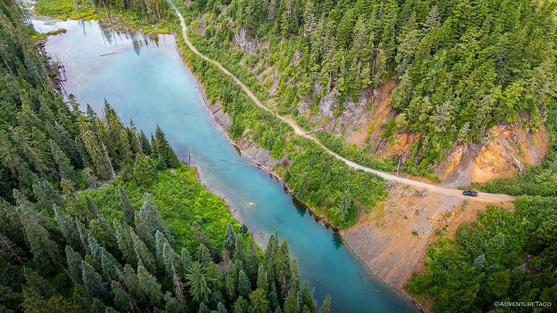
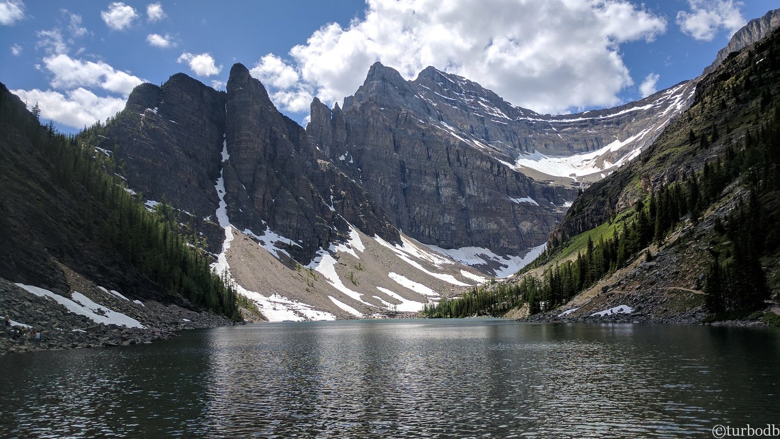
Our second visit - in as many days - to Telkwa Pass behind us, we raced down the valley that was shrouded in fog the last time we'd been through. Today, it was anything but, and soon we'd covered half the distance to the trailhead.
It was time for a detour.
We'd planned on running this trail on our way up the pass, but as we'd climbed out of the fog - and immediately into low clouds - we'd realized there was no point. Though we'd done no research on the availability of views from the top of this trail, we were 100% sure that there would be none on that particular day.
I'd like to attribute our turning around at the time to a stroke of genius, but I think we all know that in this case, it's spelled l-u-c-k,

Not knowing what to expect, we were both delighted and a little disappointed to find that the road was in great shape. On the one hand, it meant that we were flying up the mountain. On the other, it seemed like our morning fun might be cut short once we reached the microwave radio towers, some 7.5 miles up the trail.

In fact, it took us only about 20 minutes to cover that distance, and it was looking like we might get a relatively early start on our long journey home.

While the trail to the radio station had been a virtual highway - necessitated by the need to get heavy equipment to the electronics, I suppose - past that point, it was a significantly slower two-track. And now, for my best broken record impression: we were both delighted and a little disappointed. On the one hand, the change in road conditions would likely turn many folks around. On the other, we'd gotten it in our heads that we were nearly on our way back home, and with another 20 km to the end of the road, that was suddenly looking less likely.
But, we had to remember, the goal of adventure is not to go home as quickly as possible. In fact, it's quite the opposite.
Pushing on, we wound our way through high alpine meadows, plowed through muddy puddles, and caught glimpses of the spectacular surroundings as we wove our way in and out of the trees. Soon, we arrived at a structure I'd seen in my research and popped in for a quick look around.


With no visitor log to sign - it seems that there are significantly fewer logs in Canada, at least compared to the deserts of the southwest USA - we didn't spend long before pushing higher. The views had been getting better and better, and by this point, we were both excited to see how spectacular they were at the next cabin I'd noted along the route. Because, obviously, the higher cabin surely commanded an even better location.
Or at least, that's where I would have put my money. Perhaps the smart money would have looked elsewhere.

And then, as we neared the cabin, something strange happened. The road rounded a ridge and began to descend into a valley. A valley with exactly zero view! As we quickly dropped elevation, I looked at @mrs.turbodb and wondered as to the decision making that went on when placing this cabin:
- "I bet if we put it over here, no one will want to stay here and we'll have it all to ourselves."
- "I know, let's hide it in a hole."
- "These views are too good."
The placement was probably done for some much more logical reason - perhaps shelter from the wind or ease of access in 15 feet (sorry, 5 meters) of snow - but to us, it seemed insane.


There was exactly zero reason to hang out at the old cabin for any period of time, and that was just fine with us. We'd already caught a glimpse of the road ahead, and it looked like it went in all the right directions.
Up.
And so, that was the direction we went, too.

There are some places in the mountains that just feel like a movie. Where every turn reveals a view that doesn't seem quite real. Where the scale is impossible to capture, and even the little things are dramatic. Where you can hear the soundtrack in your head as you drive. Where the road disappears into the distance and you can't help but follow it. This was one of those special places.


Having left camp before breakfast - which on this trip was really a breakfast-for-lunch situation since we weren't ever really doing anything active during the day - this seemed like the perfect spot to open up the tailgate and enjoy the last of our homegrown blueberries. We'd brought along a little more than two pounds of the tasty bear food, and as we popped the sweet orbs into our mouths, we admired our surroundings. Surroundings we would have missed if we hadn't adapted to the weather on day one.

Above it all, an old, solar powered WWII de-escalation missile sat overlooking it all. Perched on a small pad, it remains ready for blast off, it's payload - millions of small paper flyers with the words "Sorey. Excuse us. Sorey." - ready to apologize for any perceived misunderstanding.

Or maybe it's the fiberglass shell of a radio repeater tower used by BC Forest Service, primarily for fire communication and suppression. The conical shape designed to shed ice that would otherwise detune or snap a bare antenna, and cut wind loading; critical on an exposed alpine summit like this one, where rime ice and gale-force wind are the norm rather than the exception.

With that, our time at the top was coming to an end. In the distance, we could hear the high-pitched drone of UTV engines, and we had no desire to find ourselves in a place like this, surrounded by machines - not to mention their owners - like that.
Being a Saturday morning, we'd end up passing a parade of those hellacious machines on our way back down the mountain. We'd had the place to ourselves for an hour; another good reminder that leaving camp early is almost always worthwhile!
Of course, the drive down wasn't all bad. We were still in the middle of a place that was easy to imagine, but impossible to capture.


It was noon when we finally found ourselves back on pavement, pumping air into our tires, calculating how long it would take us to make the long trek home. One thing was certain: this far north, it would be more than a day.
It was a small price to pay.
Canada is burning...
It'd take us the rest of the day and most of the next to get home, and aware that there were still several fires burning throughout the province, we made sure to find somewhere north of the smoke to call home for the night. We weren't the only ones with that idea, the rest area - on the side of BC-97 - reasonably full of folks in the similar situations.
But we did have a bit of somber luck as we made our way further south. For more than a month, the highway had been closed north of Clinton, BC, the Big Bar Fire Complex prompting the evacuation of entire towns, ravaging properties as burned out of control. Even as we approached the detour, Google Maps was emphatic that the highway was still closed. But it wasn't.
Driving straight through - rather than detouring to Kamloops - would save us more than an hour. And, it would be a reminder of how quickly things can go wrong. So many people now wondering what's next.

Once again, heading north had been an eye-opening experience. One that we're sure to repeat, time and time again!
The Whole Story