We slept soundly through the night - it was the perfect night really - quiet, a bit of a breeze, and chilly but not too cold. I'd set my alarm for 6:30am, since I wanted to catch the sunrise. The atmosphere over Death Valley makes for stunning shots and though I knew I wouldn't get anything like @DVExile, or even Ben (@m3bassman) had a few weeks earlier, I really wanted to try to get something!
I wasn't disappointed.
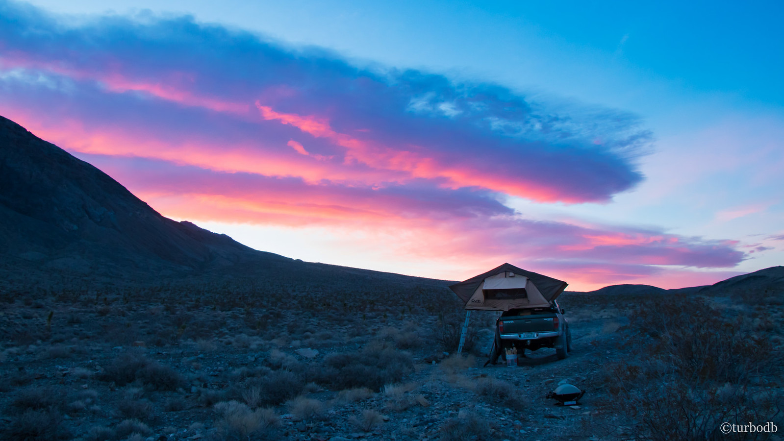
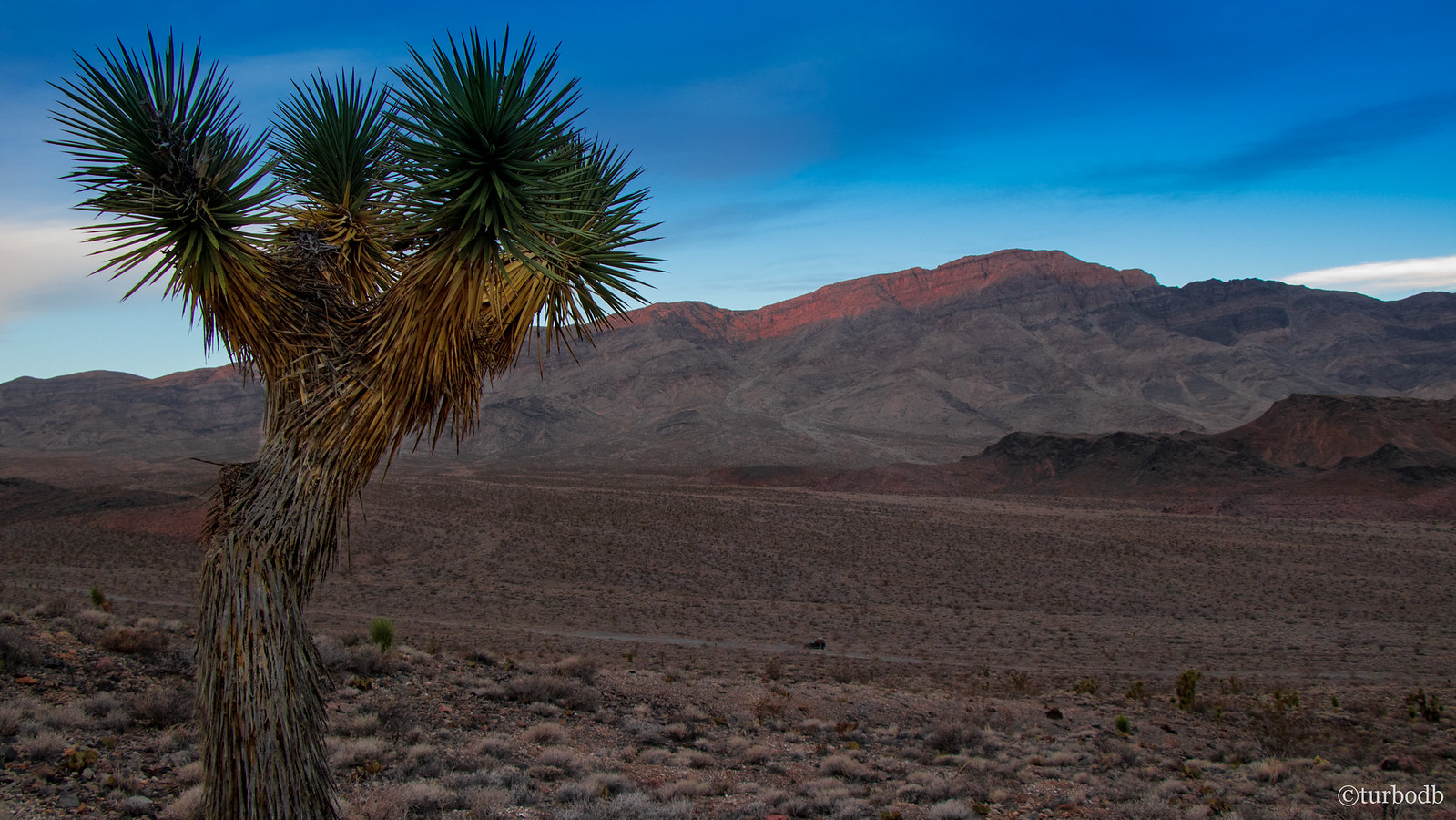
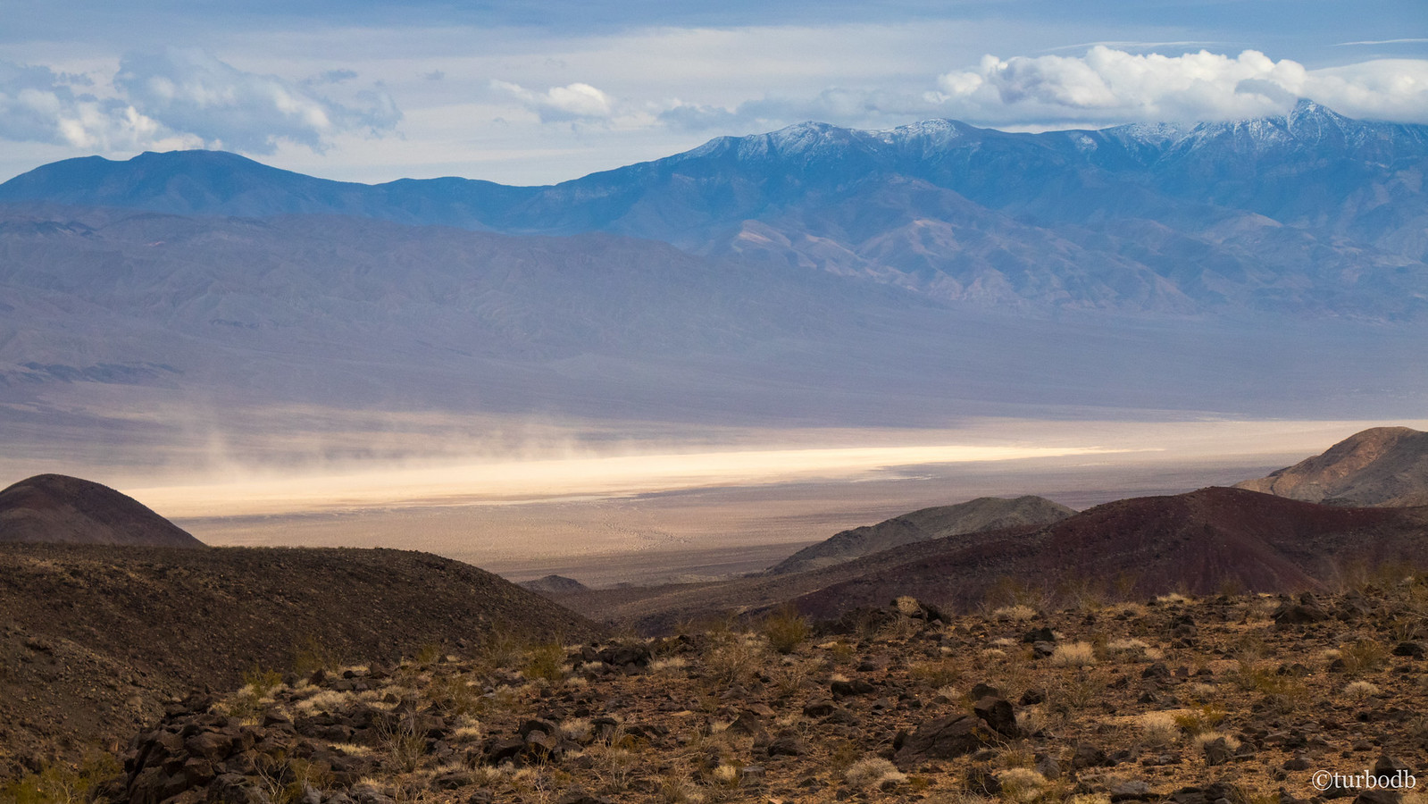
Sunrise seemed to pick up just where sunset left off - amazing pinks and purples, mixed with a cool blue sky and steely landscape. As @mrs.turbodb slept, I hiked a short distance up Tin Mountain, hoping to catch some shots of the valley as the sun came over the ridge and shown on the Last Chance Range.
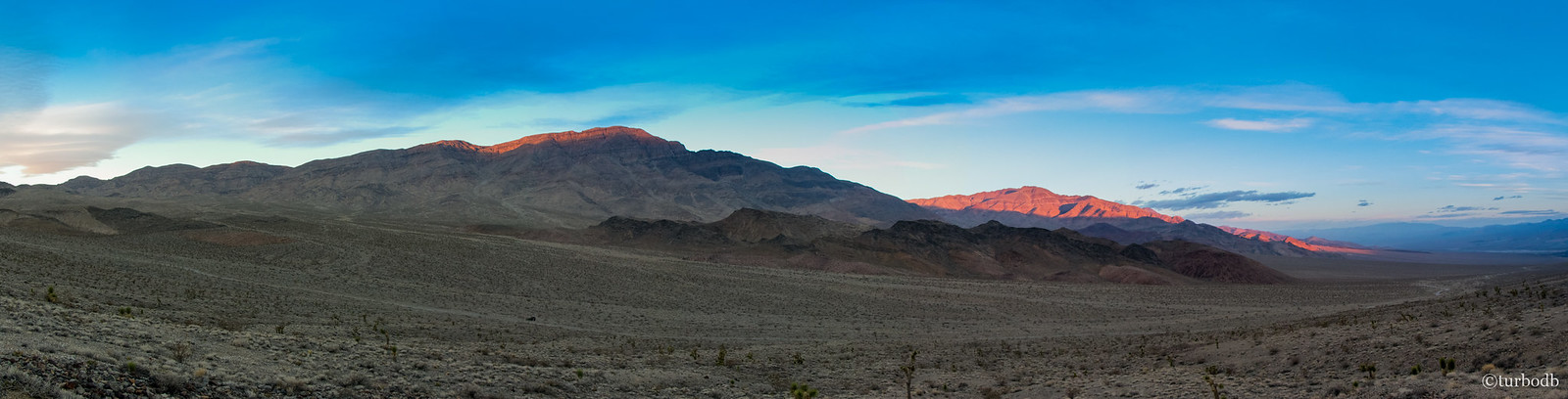
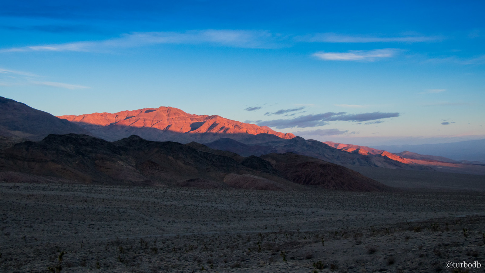
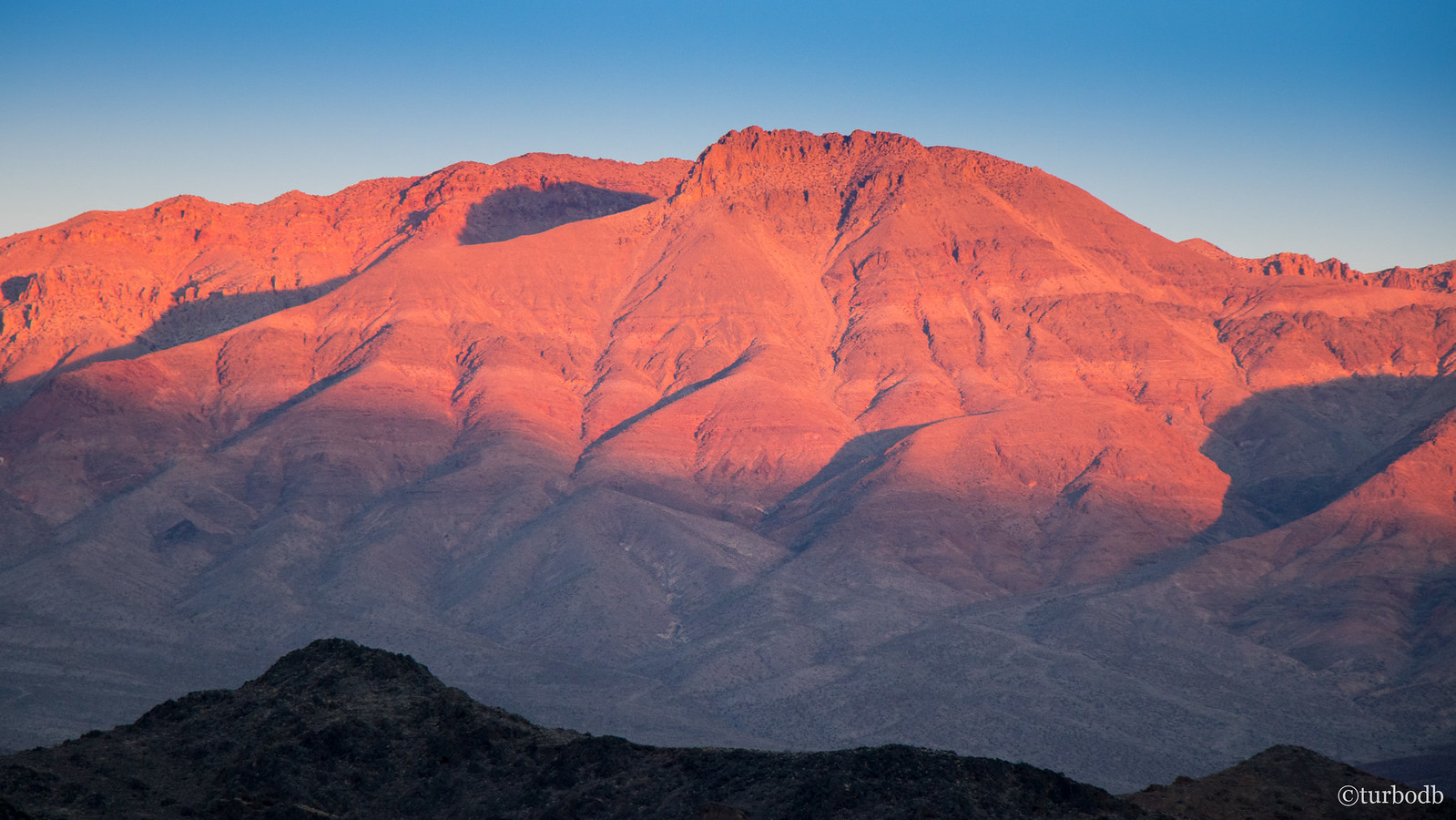
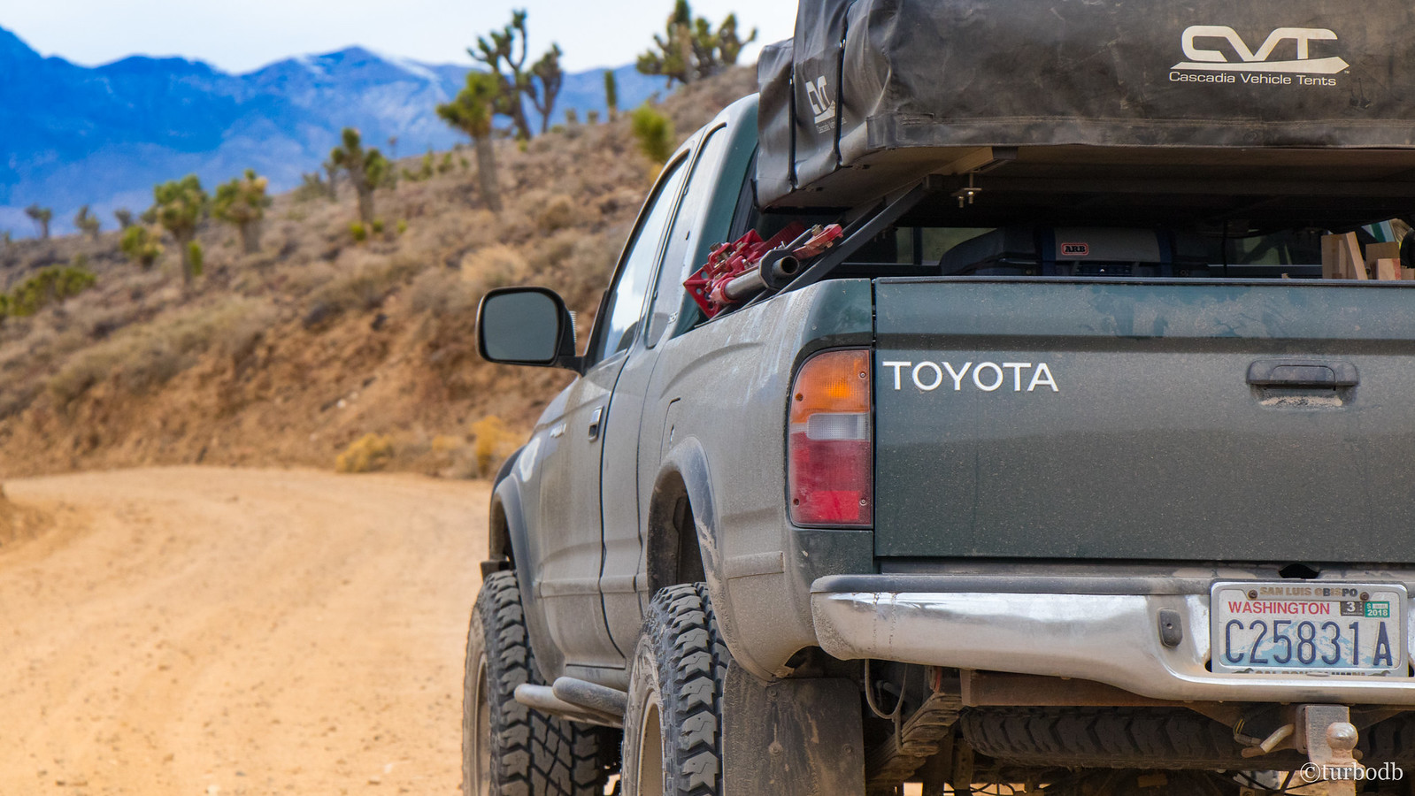
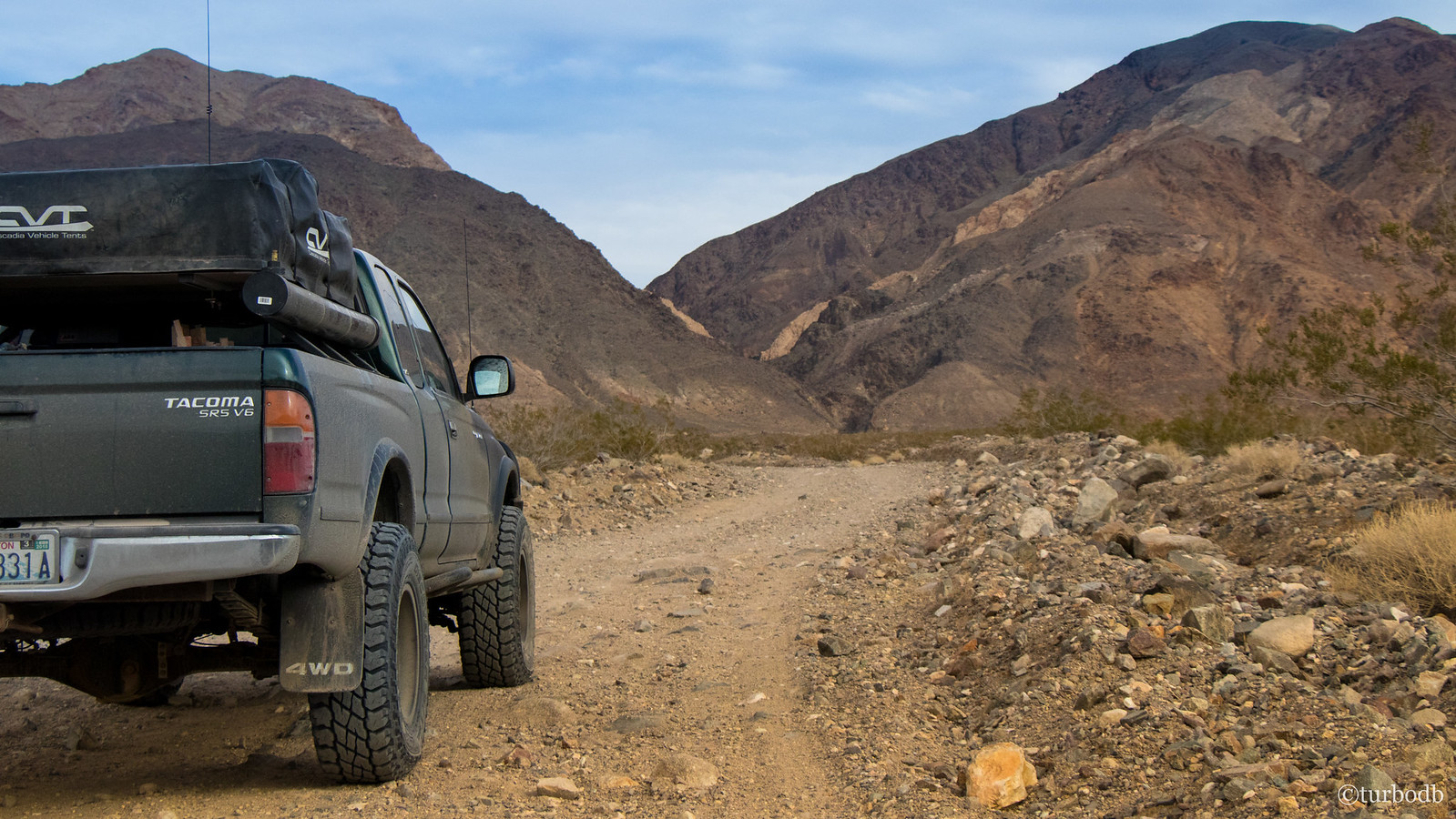
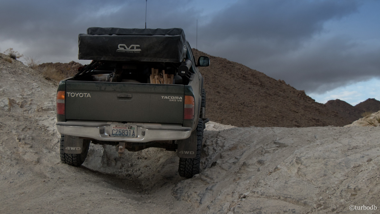
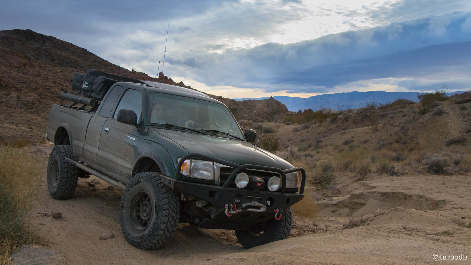
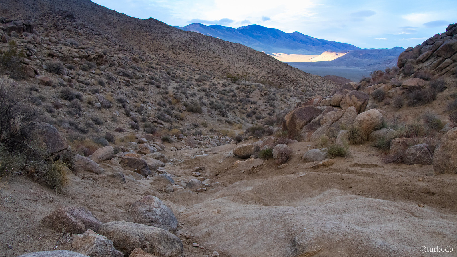
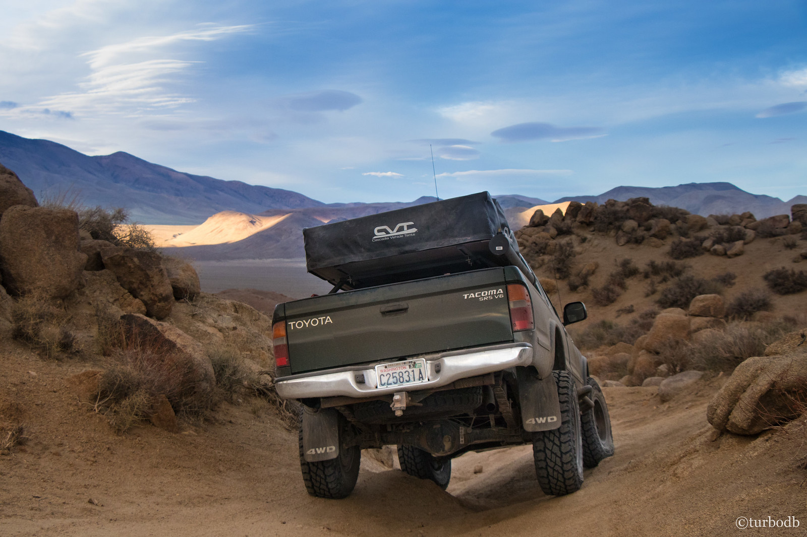
As with all sunrises, this one didn't last long (enough), and I made my way back down to camp where we enjoyed a bowl of cereal with fresh strawberries and got the tent put away (dry!) We knew we had a long day ahead of us - we were planning to cover over 100 mostly-dirt miles - and pulled out of camp around 8:00am.
And then, almost immediately, we stopped.
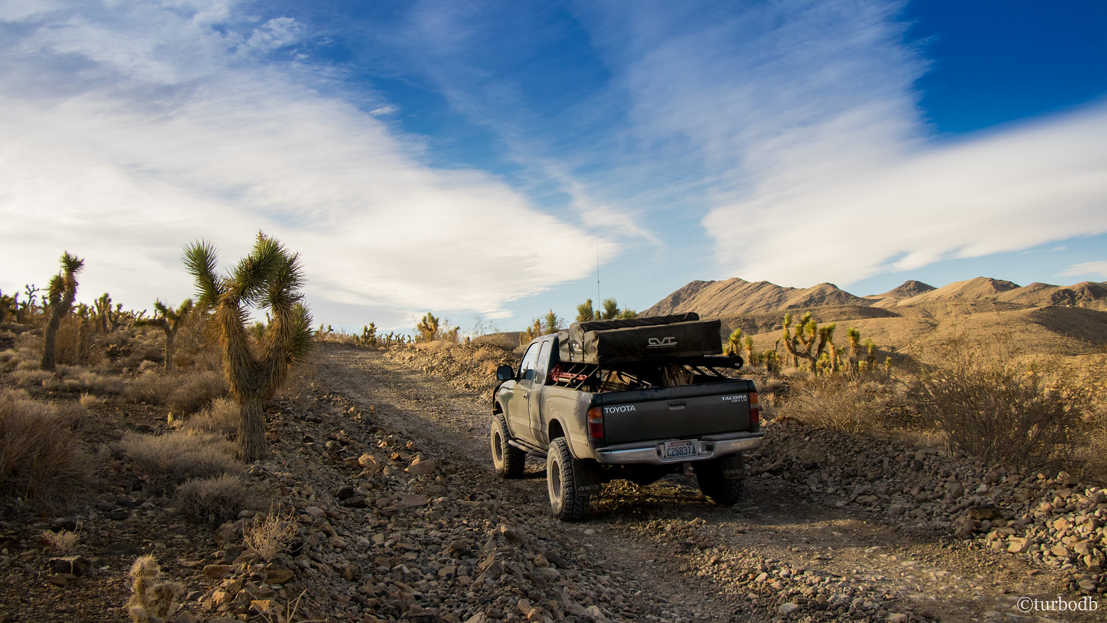
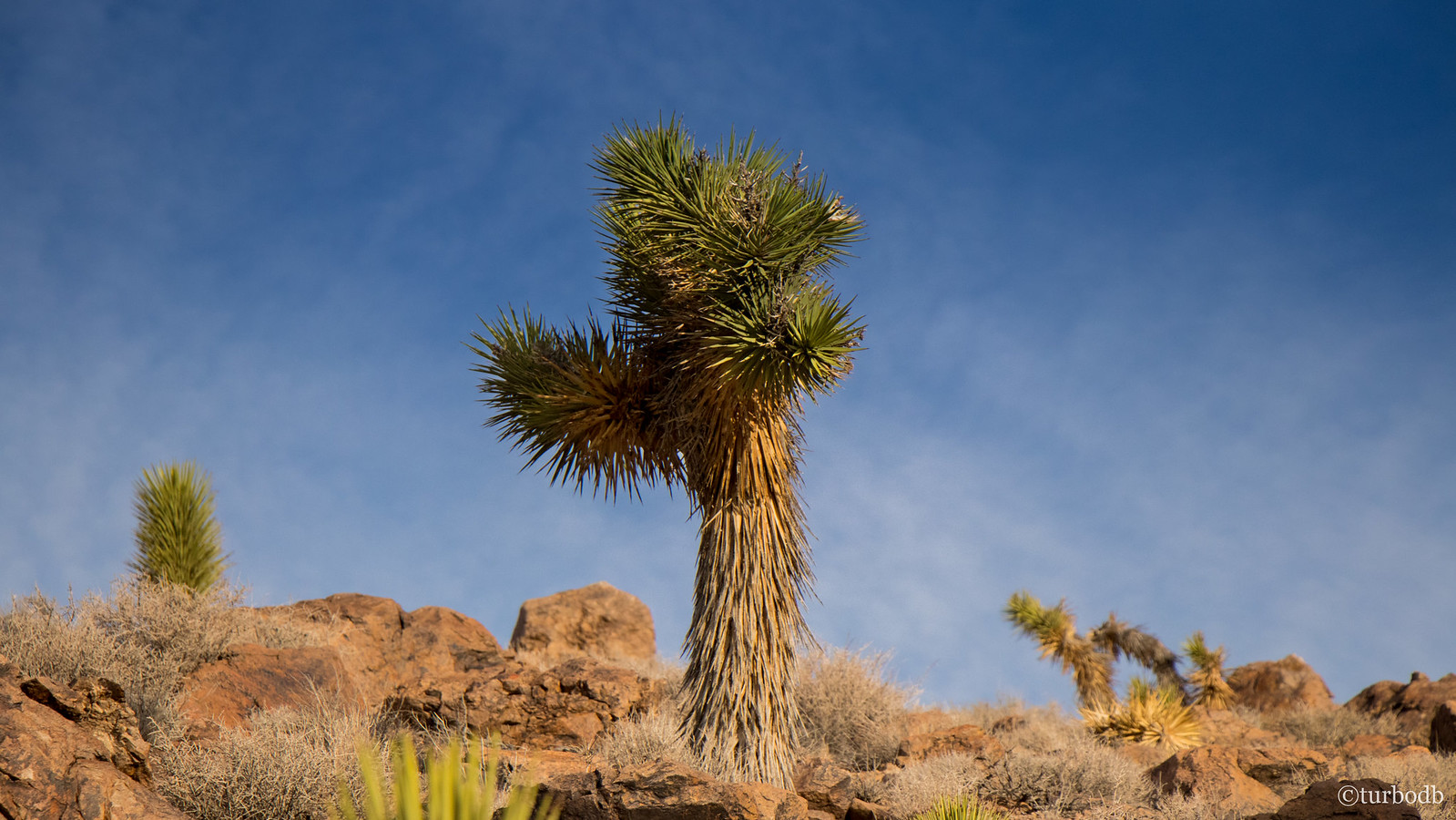
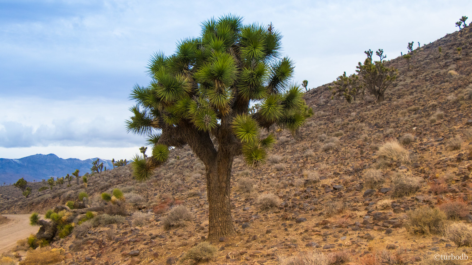
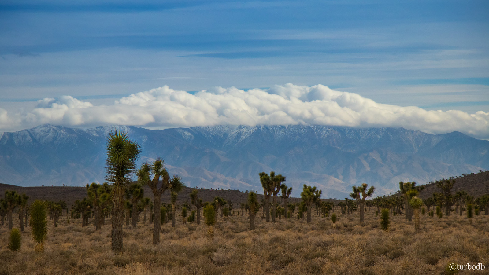
We'd seen a few Joshua Trees on the hillside by our camp, but just over the ridge the density picked up significantly. Sure that we'd never see so many in such a small area again, we stopped and tried to capture the moment. Of course, had we known what awaited us just hours later in Lee Flats...
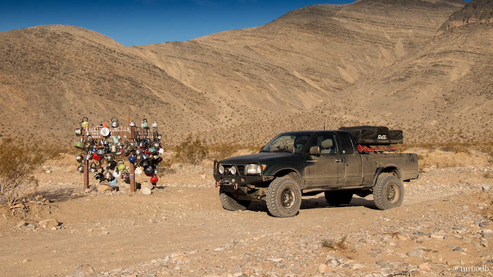
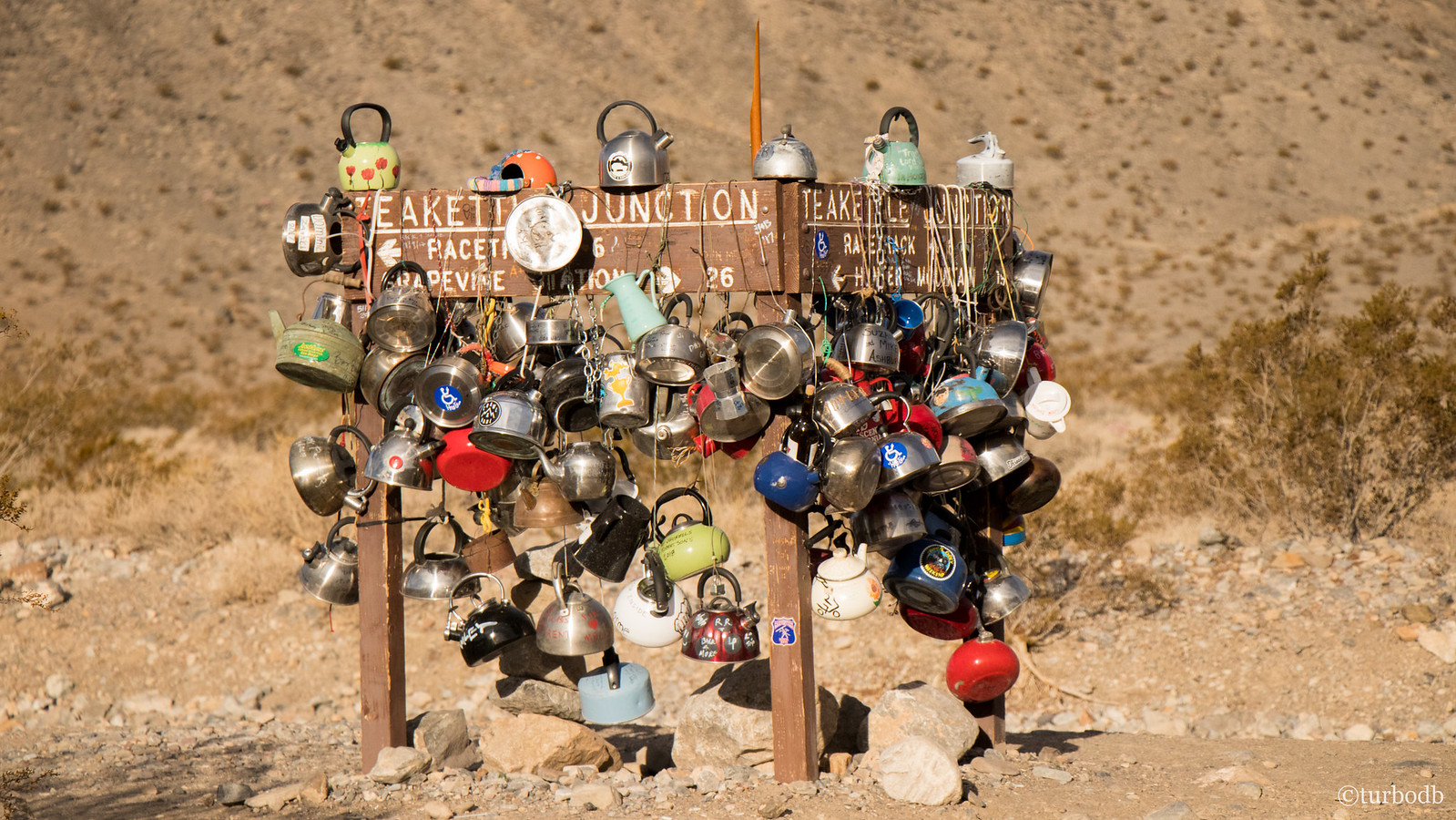
We continued on toward the Racetrack Playa - something we were both looking forward to - when we stumbled upon Teakettle Junction. Of course, we both knew of Teakettle, but it's sight in the middle of the desert still caught us by surprise, since from a distance we wondered, "what the heck is that pile of crap?"
This was also the only point in the trip when we had any cell coverage - both of our phones literally lit up with notifications as we stopped at the junction - so we took a 15 minute break to triage our lives.
Oh, and of course I posted this picture on TacomaWorld as an update on our progress… what a goob. :anonymous:
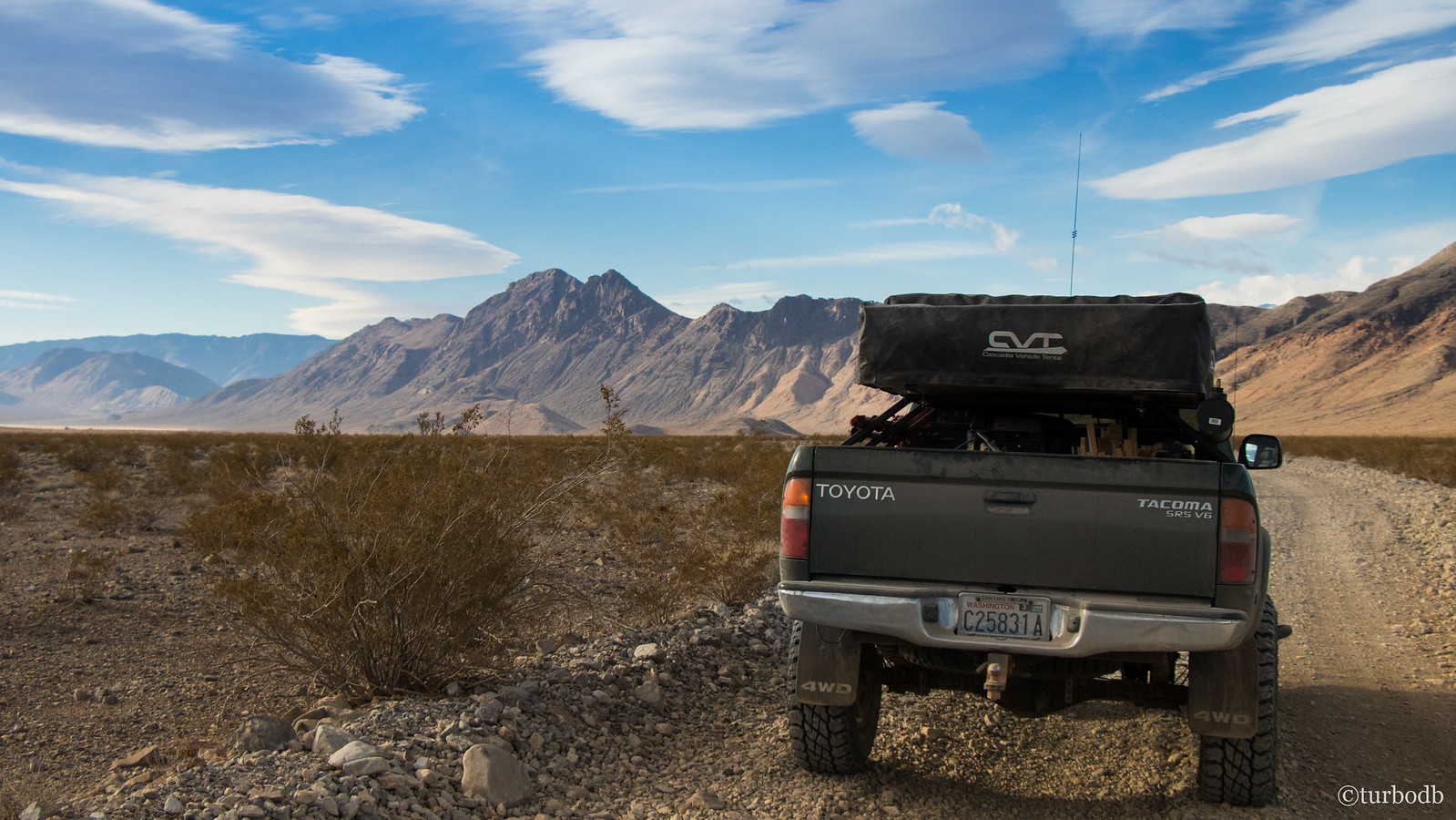
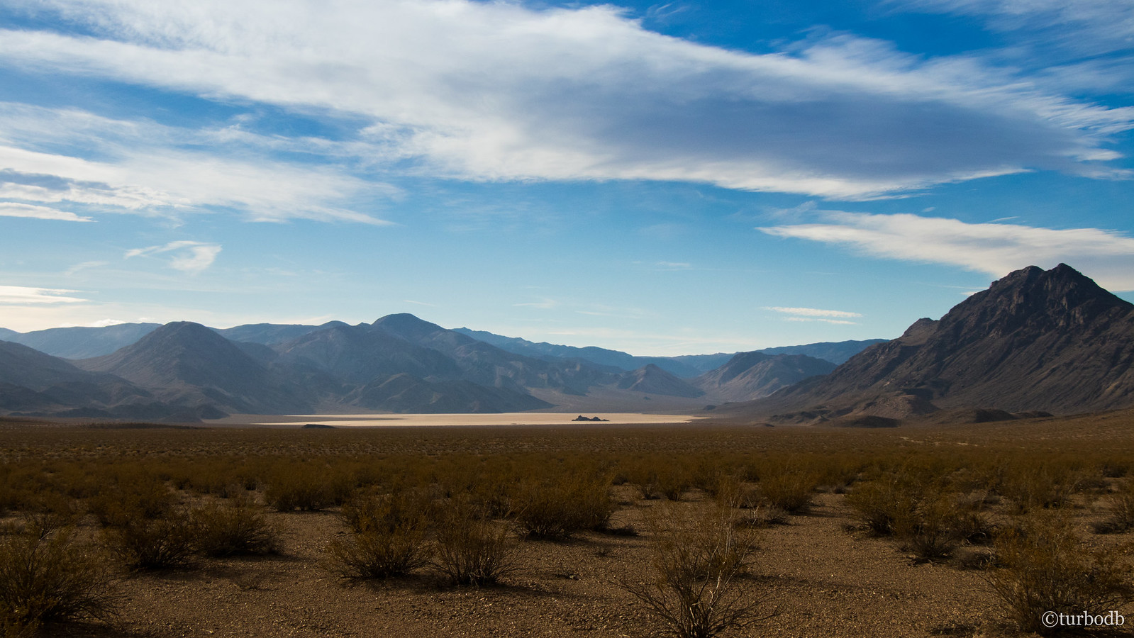
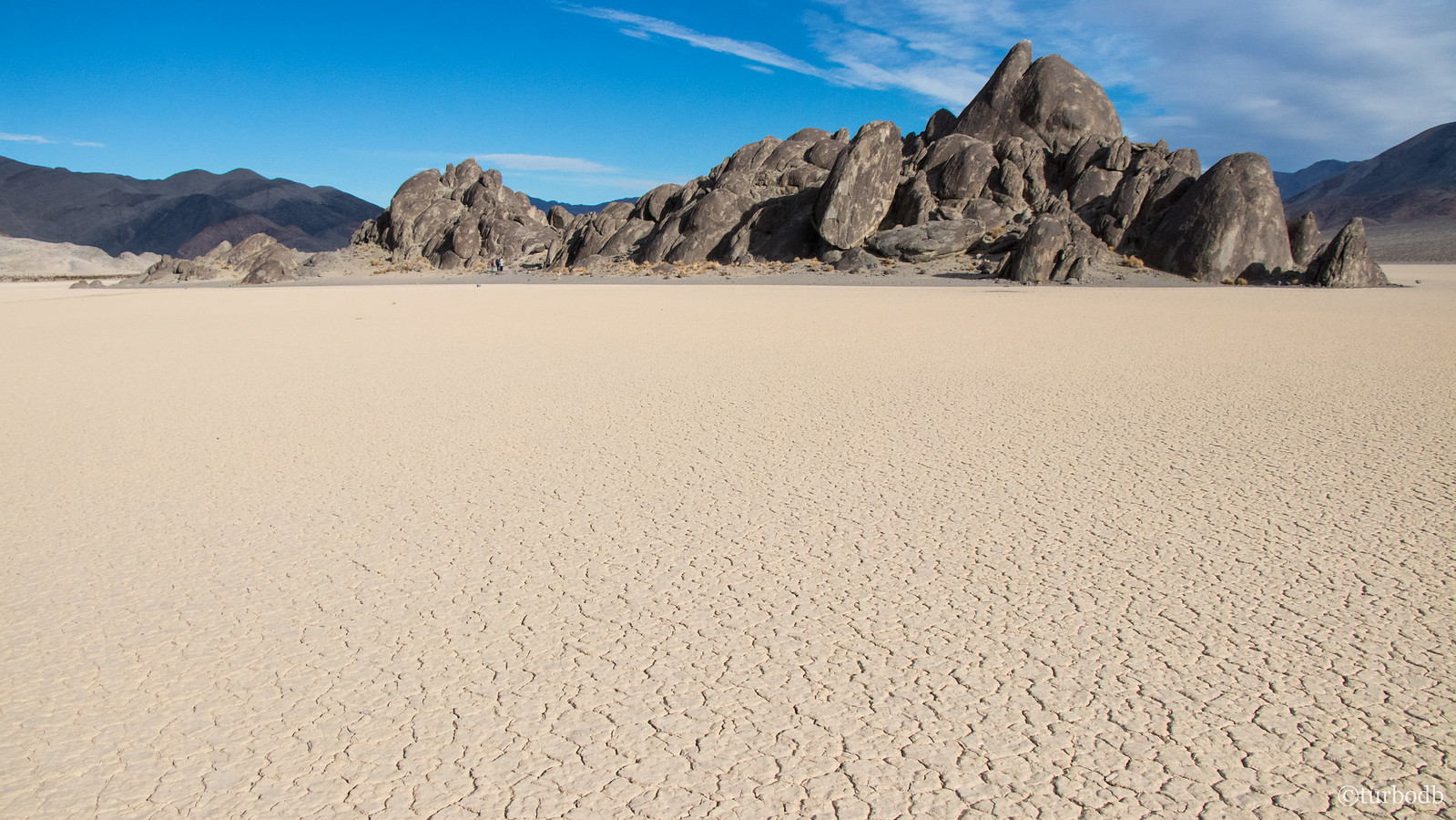
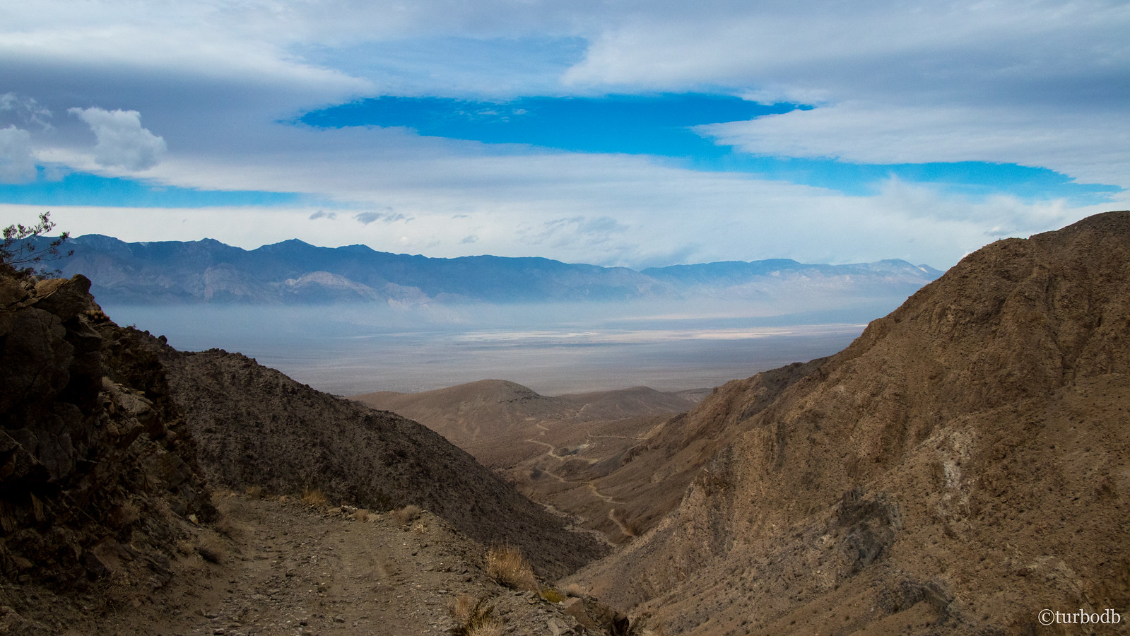
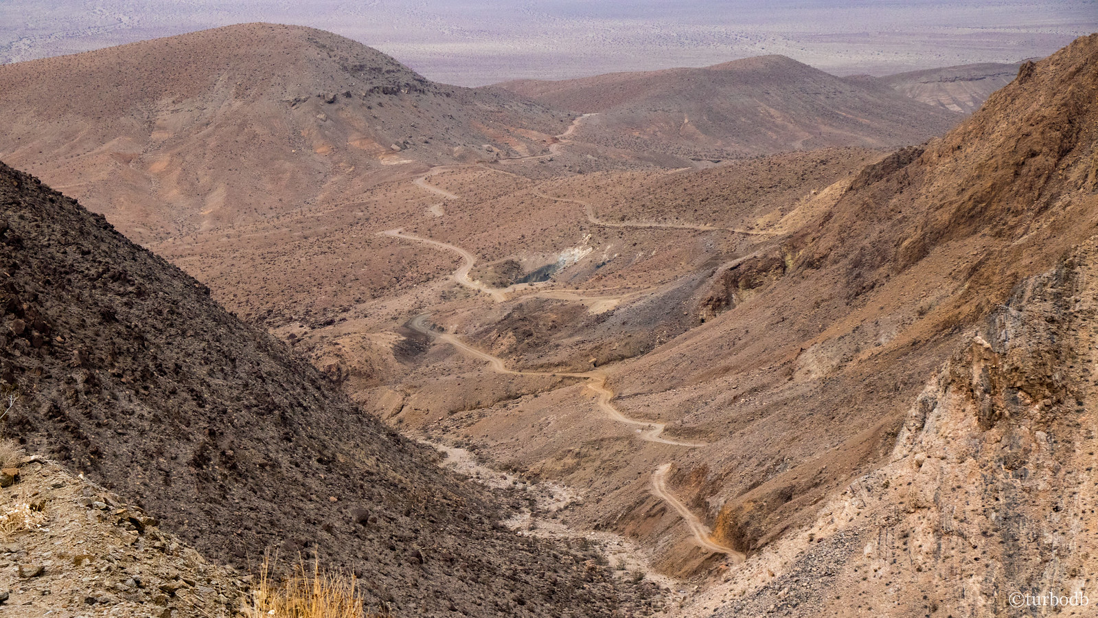
Our emails, texts, and device addictions satisfied for the moment, we continued on towards The Racetrack, which we could now see in the distance. Its sheer size (and the tininess of The Grandstands) was mesmerizing - enough so to make us forget the washboard road over which we were travelling, faster and faster.
When we arrived, there was no question about whether we were stopping and walking out. We were.
While there, we met another couple exploring as well - they'd stayed a bit closer to Teakettle in what they described as an amazing camp site overlooking the valley. Another thing for us to check out on our next visit!
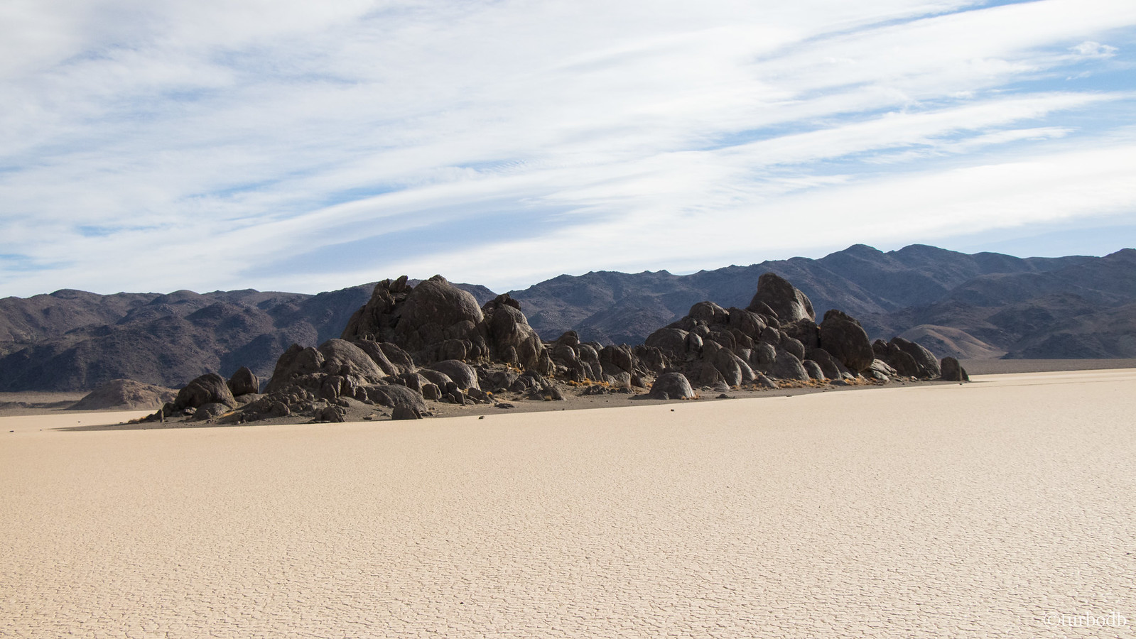
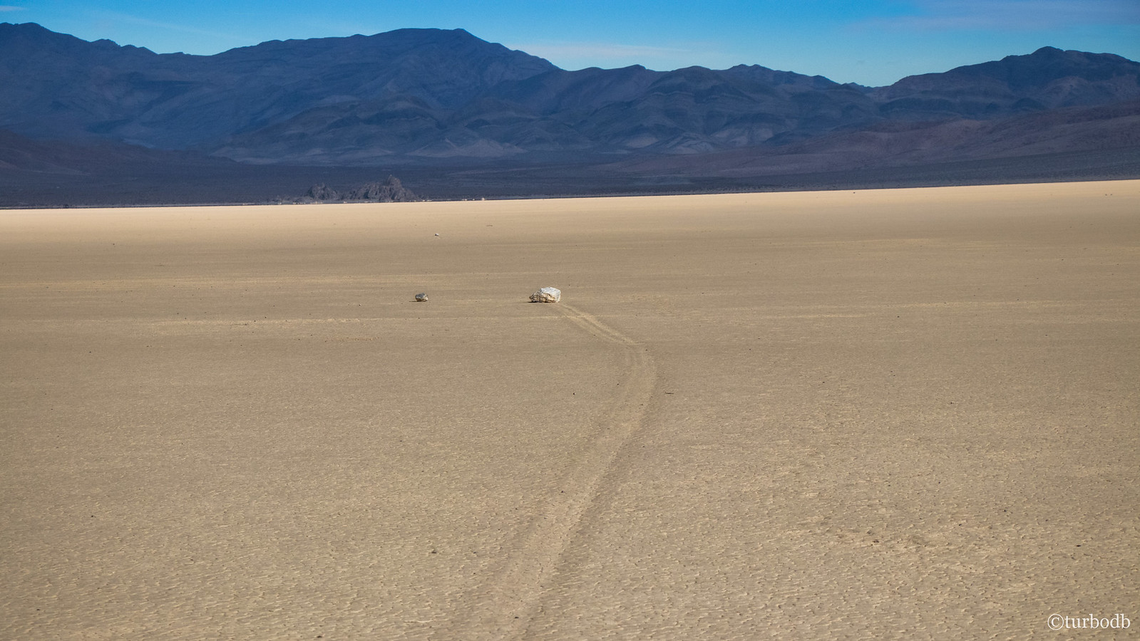
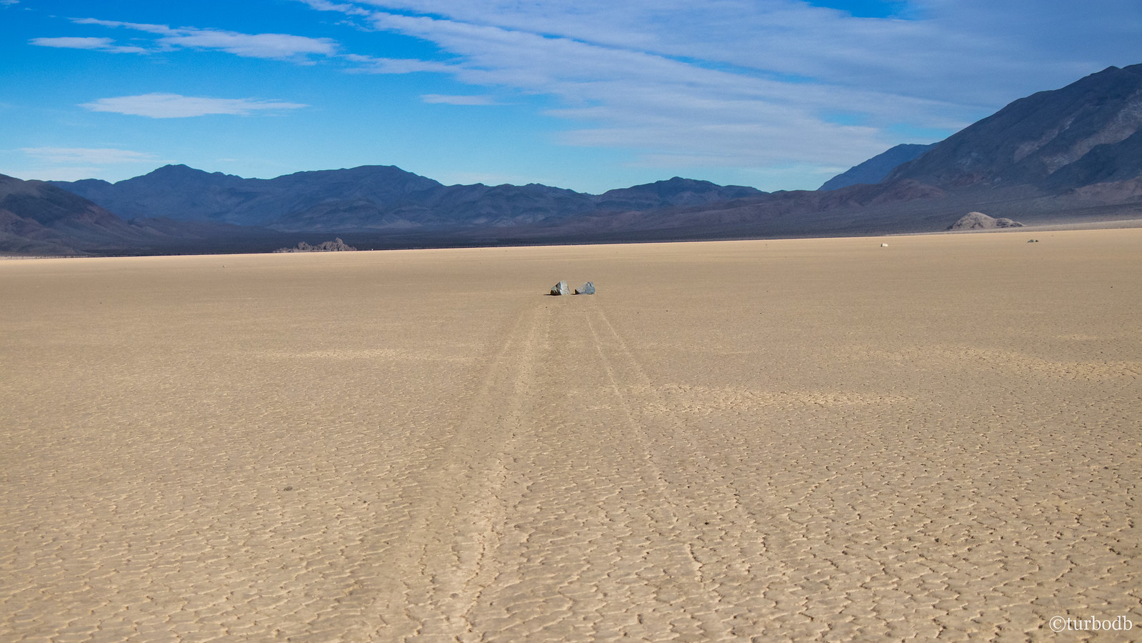
Soon, we were back in the truck for a 2-mile jaunt the length of The Racetrack, to the south end where the sailing stones dot the Playa. Pushed by wind when The Racetrack is slick from rain and ice, the trails left by these rocks are eerie. They move in different directions, sometimes 180° to each other, and often with curves in their path.
We must have looked both funny and normal out on the playa - running from rock to rock, laying down to take pictures - we were like kids at Christmas.

Too quickly, we decided to be on our way, and we headed south again towards Lippincott Pass - again, a feature we'd heard a lot about from various other folks who make the pilgrimage to Death Valley. As we neared the turn west, I noticed that the GPS track I'd plotted went straight.
"That's strange," I thought, "I wonder where that goes?"
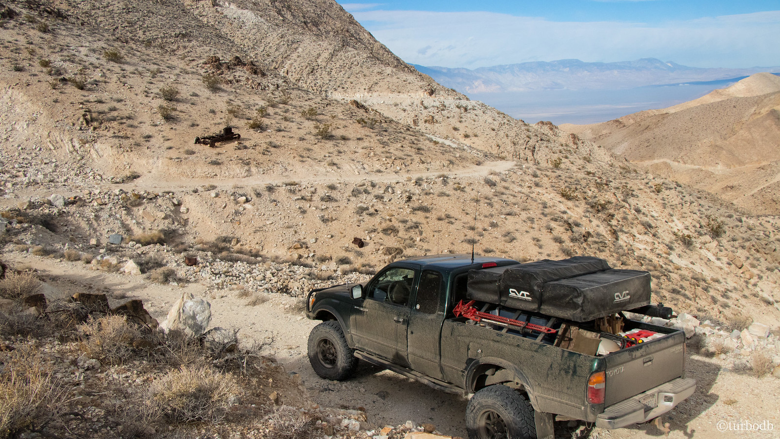
In our excitement for the Sailing Stones and Lippincott Pass, I'd completely forgotten about Lippincott Mine! Naturally, we headed up and spent a good 30-45 minutes exploring the mining gear, abandoned shafts, and ruins.
Not nearly enough.
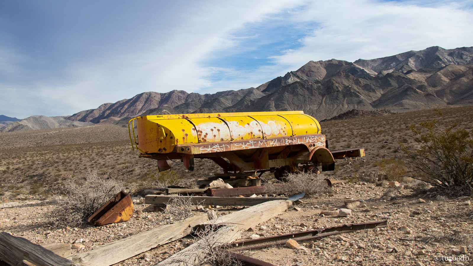
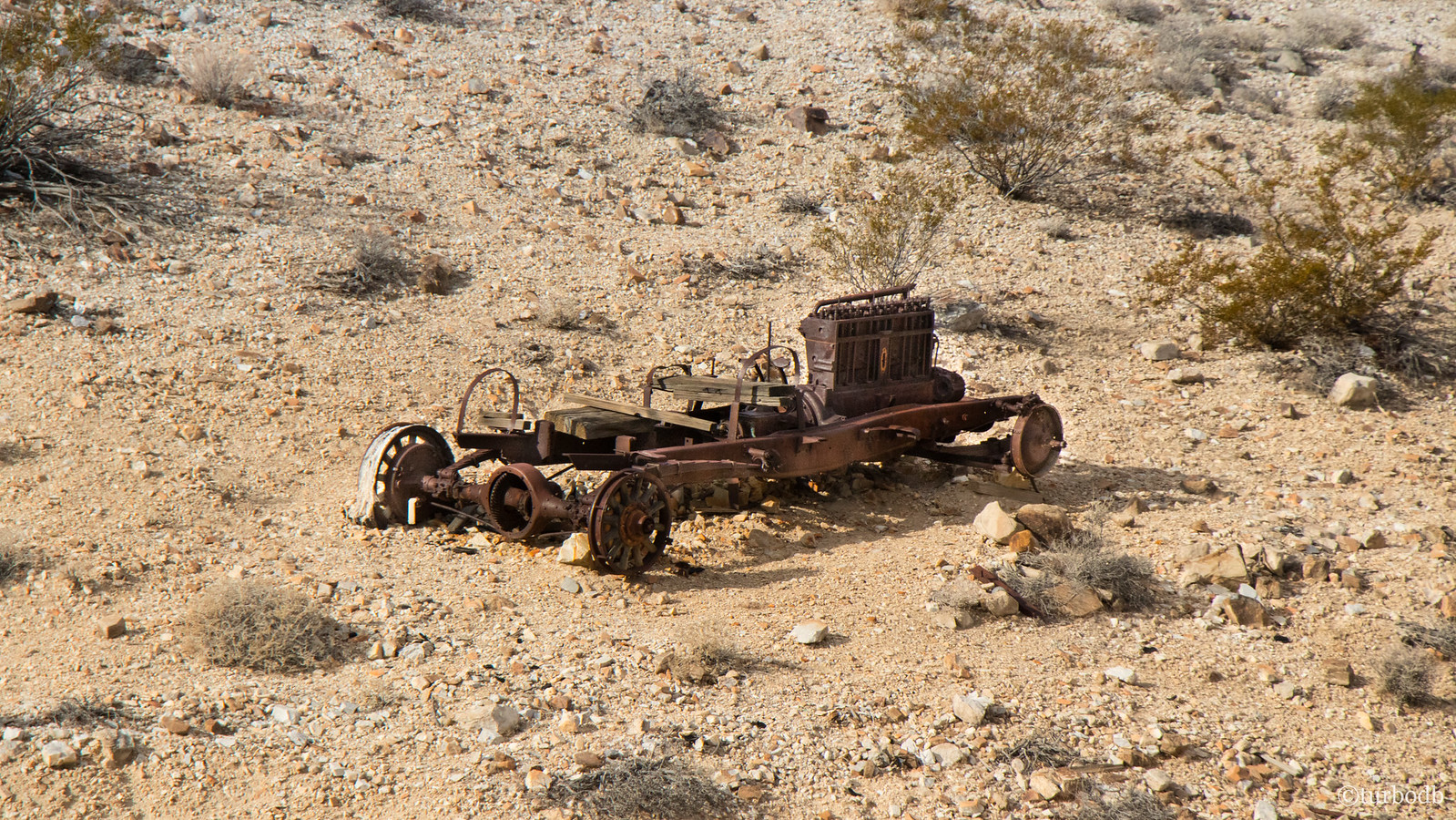
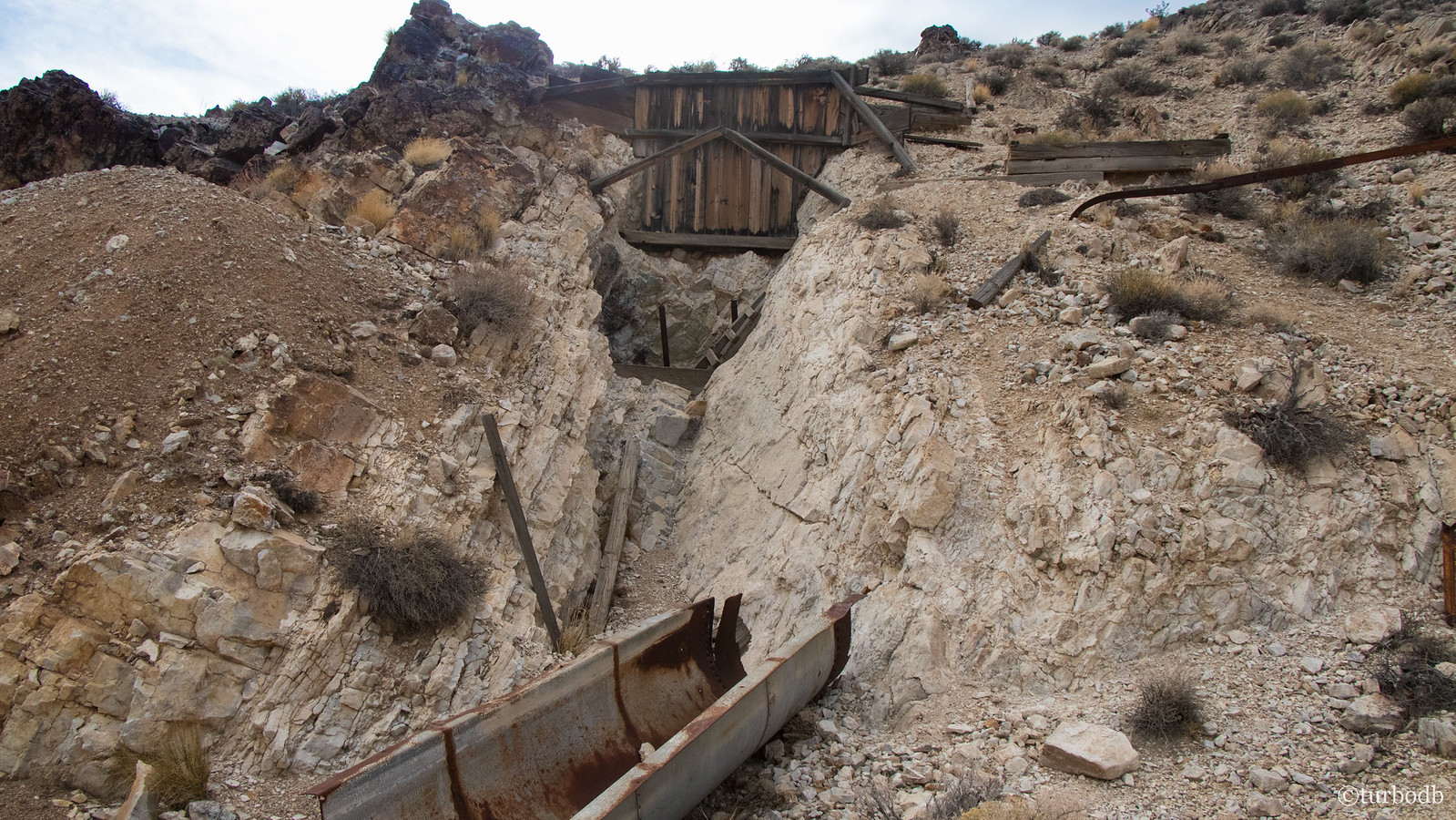
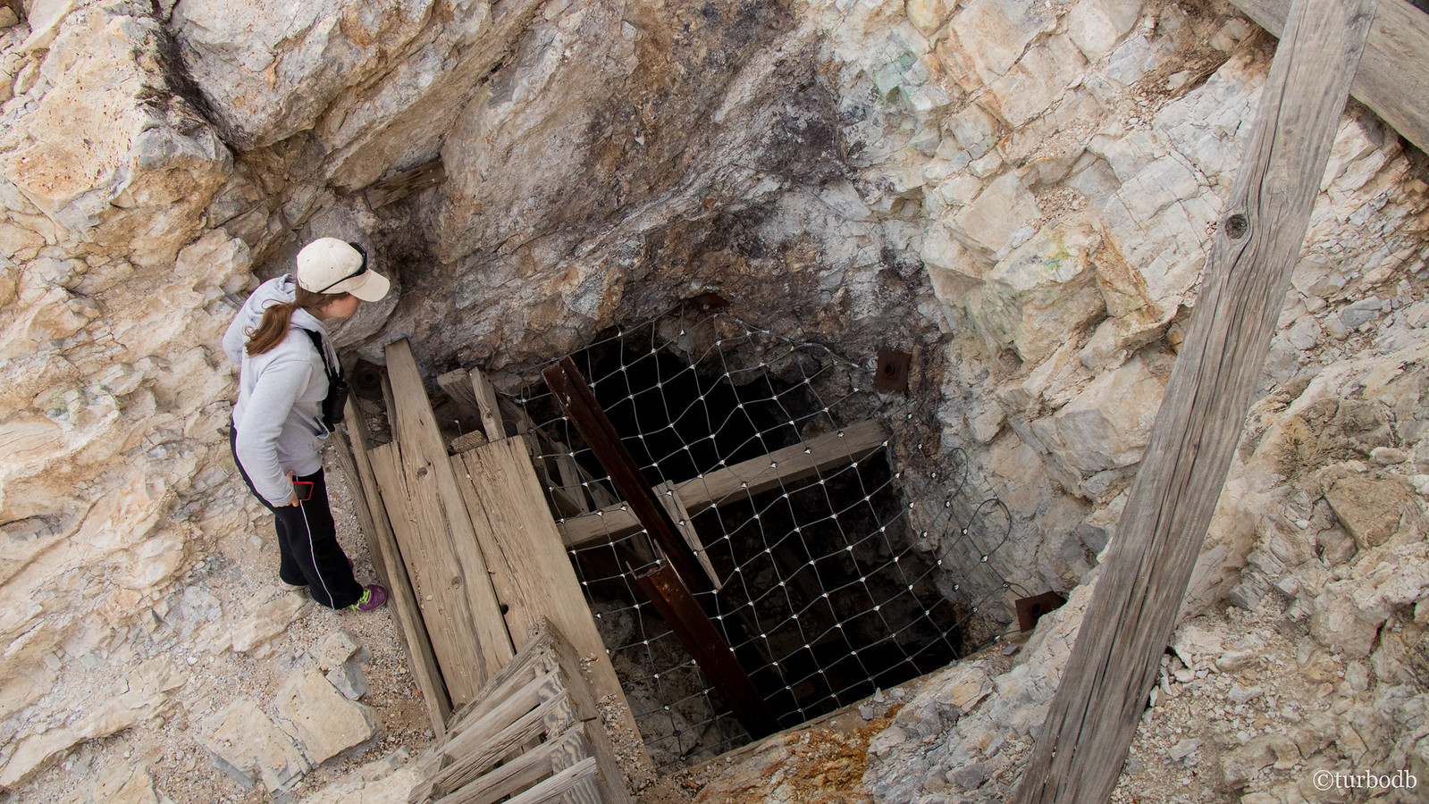
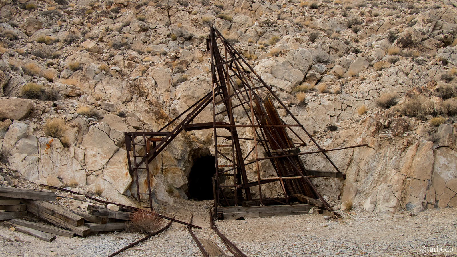
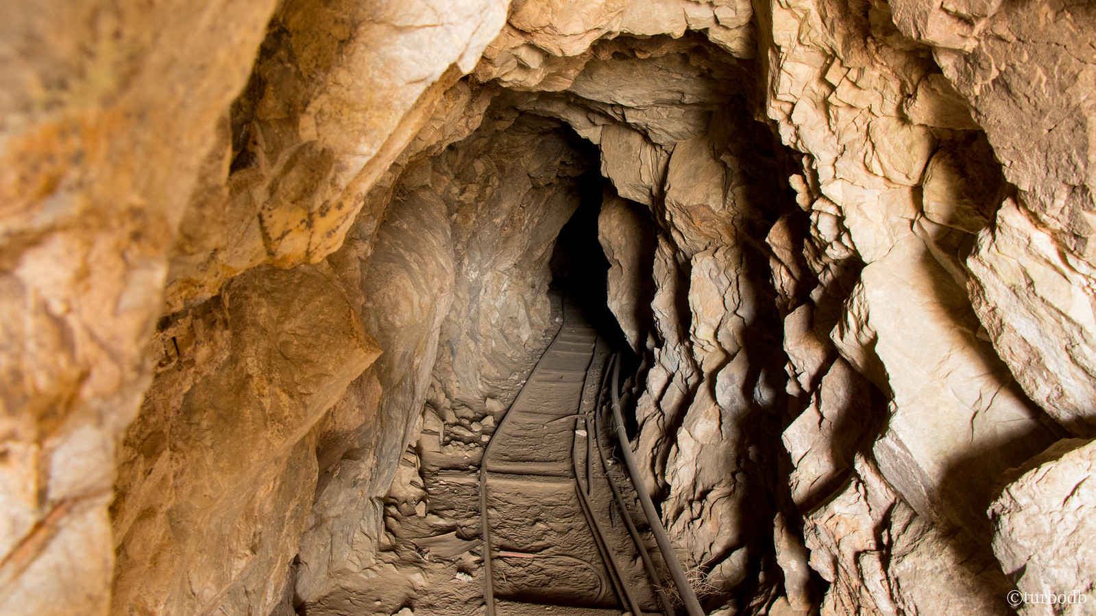
Something we found interesting as we investigated was that nearly all of the shafts were "gated" but holes were present in all of the gates (and had been for a long time). We didn't venture into any of the shafts - they were a bit too sketchy for us - but clearly if that's what gets you going, there are plenty of them to explore in Death Valley.
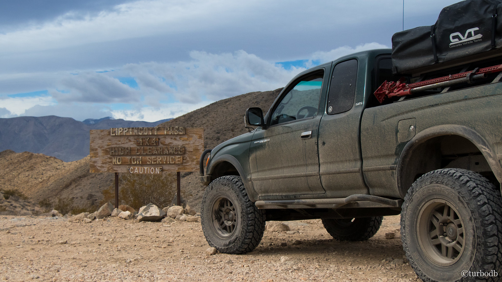
Cognizant of our limited daylight (even though it was still around 11:00am), we pulled out of the mine and paused only briefly at the infamous sign at the top of Lippincott Pass - HIGH CLEARANCE | NO TOW SERVICE | CAUTION.
Just what we wanted.
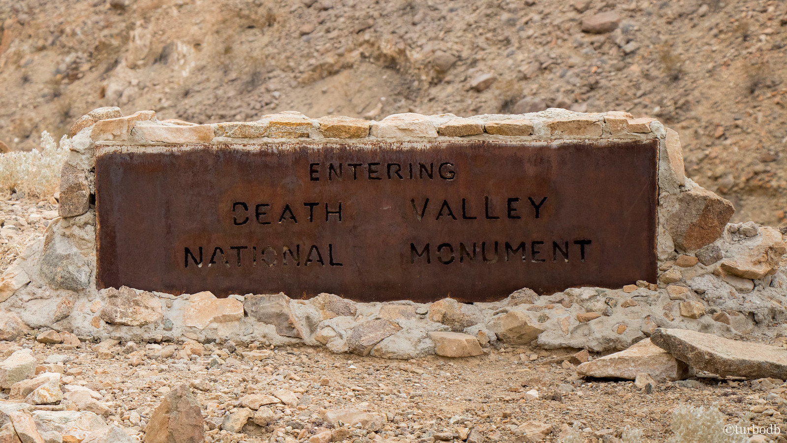
So we headed down towards Saline Valley, eventually passing a sign notifying us that we were entering Death Valley National Monument. A sign that not only had the wrong name, but that also signified our exit from the park.
Details. Details I'm sure an astute reader can figure out.
Really, Lippincott had been much easier than I'd expected. Much of it seemed graded, and except for one couple-hundred-foot section, easily passable by nearly any vehicle (in good weather). Still good fun though, and more exciting I think for @mrs.turbodb, who's had less exposure to these types of drives.
At this point we were thinking about lunch and decided that Lee Flats and the Joshua Tree forest there could be a good stopping point, if we found some shelter. And, while there was no shortage of Joshua Trees (making us think twice about our experience just a few hours earlier), unfortunately we didn't find much in the way of shelter.
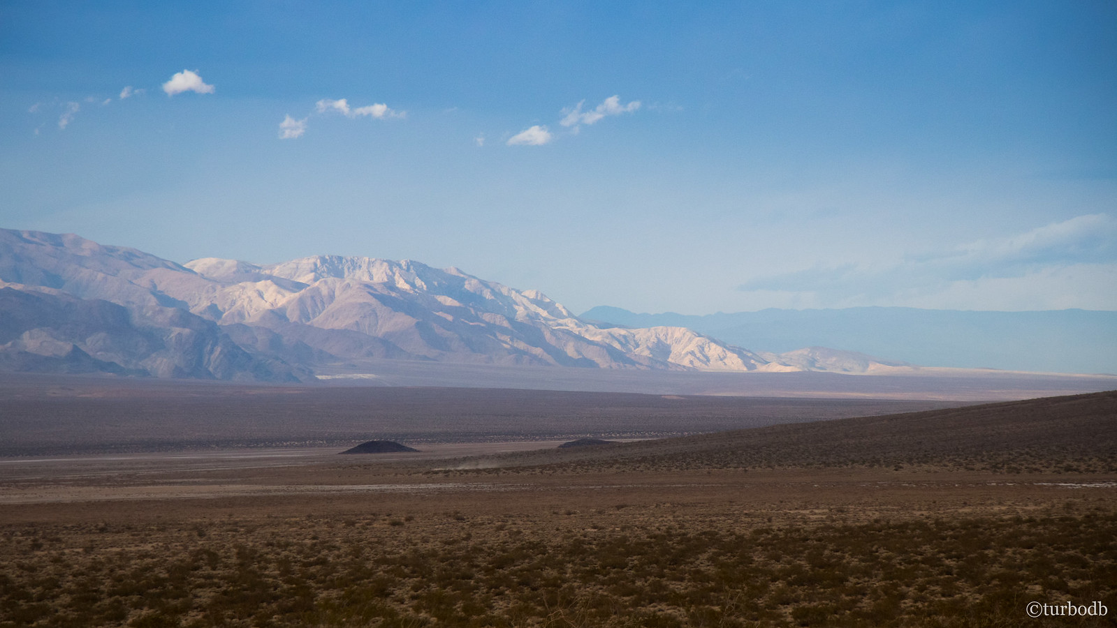
In fact, it'd gotten windy on this high-desert meadow and we didn't find anything but open road, which we took advantage of at speeds up to 50mph on our way to South Pass and our first view of Panamint Valley.
As we crested the pass, the Ham radio lit up - we could hear folks all around - from Telescope Peak to the southern end of Panamint Valley, to the north end of Saline Valley - we were clearly in a good spot for reception.
So we checked our phones. "Emergency calls only" - gotta love AT&T in a place like this.
Not too much later, we ended up in Panamint Springs - a small town on the edge of Panamint Valley with an amazing view. It was here that we stopped for some expensive gas, and some delicious sandwiches.
While there, several dual-sport bikes also stopped, as did a couple in a full-size pickup + camper who were "lost in Death Valley for a couple months." Now that's the life!
Just as we finished eating and were ready to pull out, a caravan of 30 Porsche's flew by on their way into the park. I looked and mentioned that as cool as that looked, "our six Tacoma's looked cooler on the De-Tour." She just laughed at me.
So we headed out, south again towards Ballarat Ghost Town and Goler Canyon, with much to see and less than half of our daylight remaining.
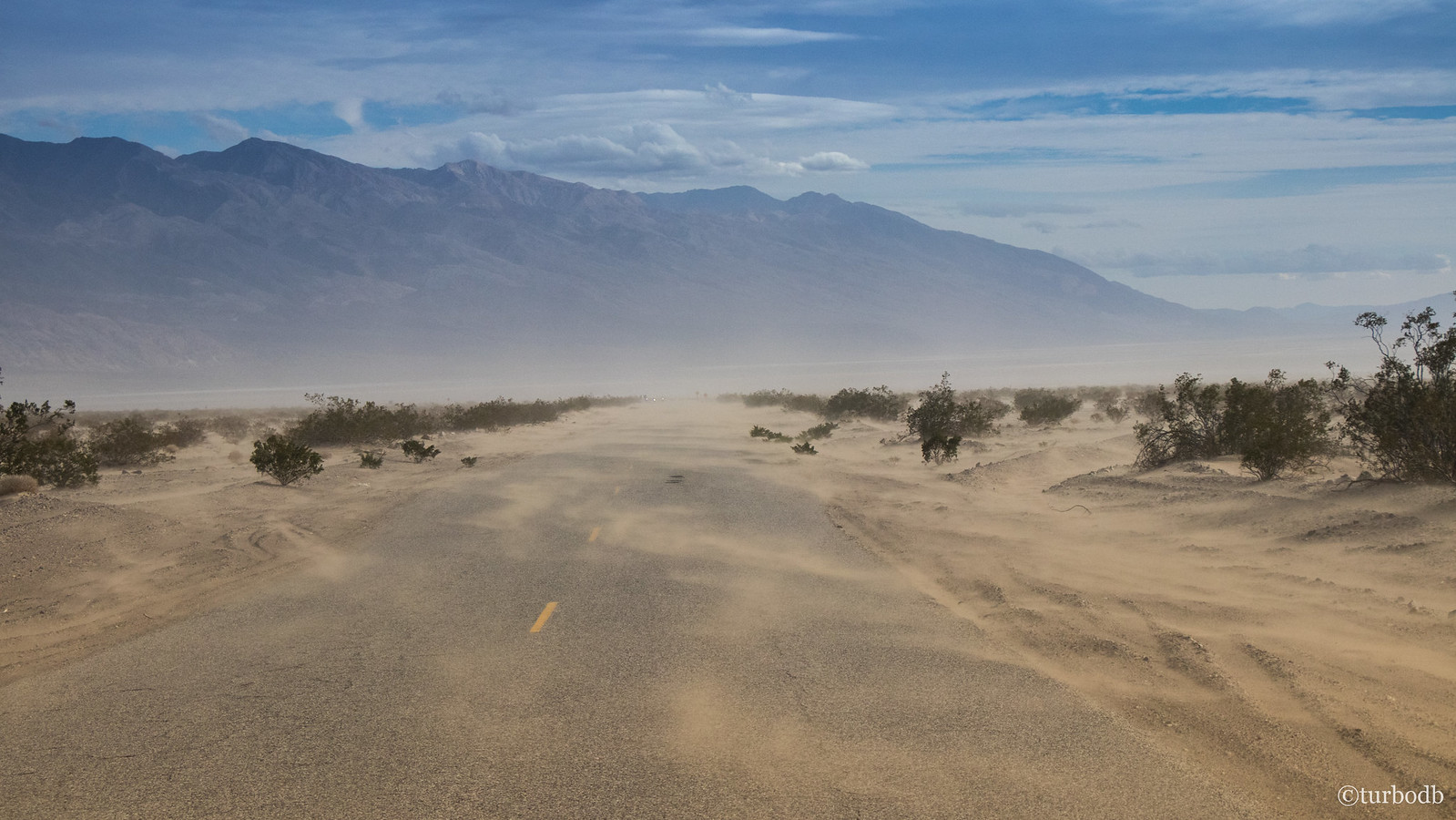
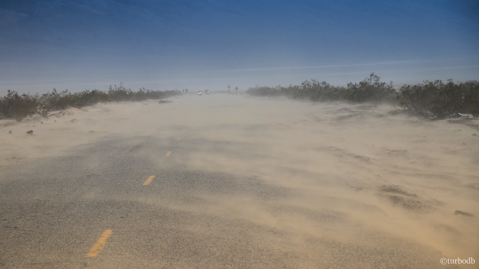
All trip we'd been driving into headwinds, but it was in Panamint Valley that it was most obvious. The winds were so strong that they were blowing dune-fulls of sand across the road for literally miles - making us glad we were in the truck, and not these guys on their dual sport bikes.
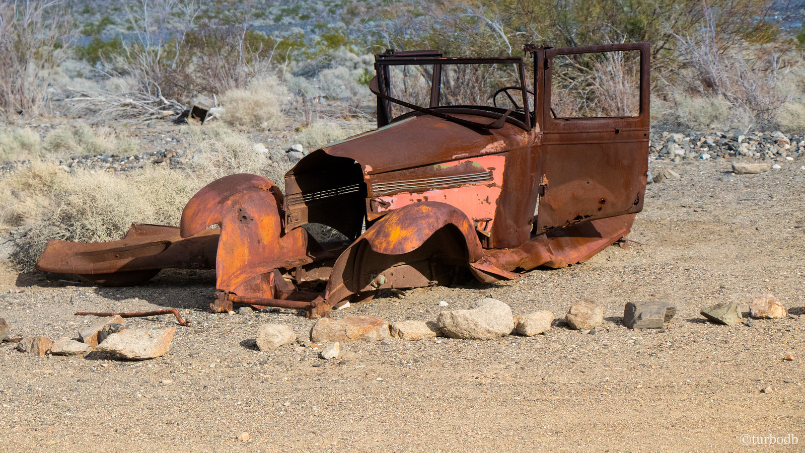
We eventually crossed the valley and pulled into Ballarat - one of the few places we visited that I wouldn't recommend to others. The ghost town is sparse, and an RV park exists in the same site that was packed full of RVs, generators, and ATVs. Even in the few minutes that we were there, five more RVs showed up. It was a mad house.
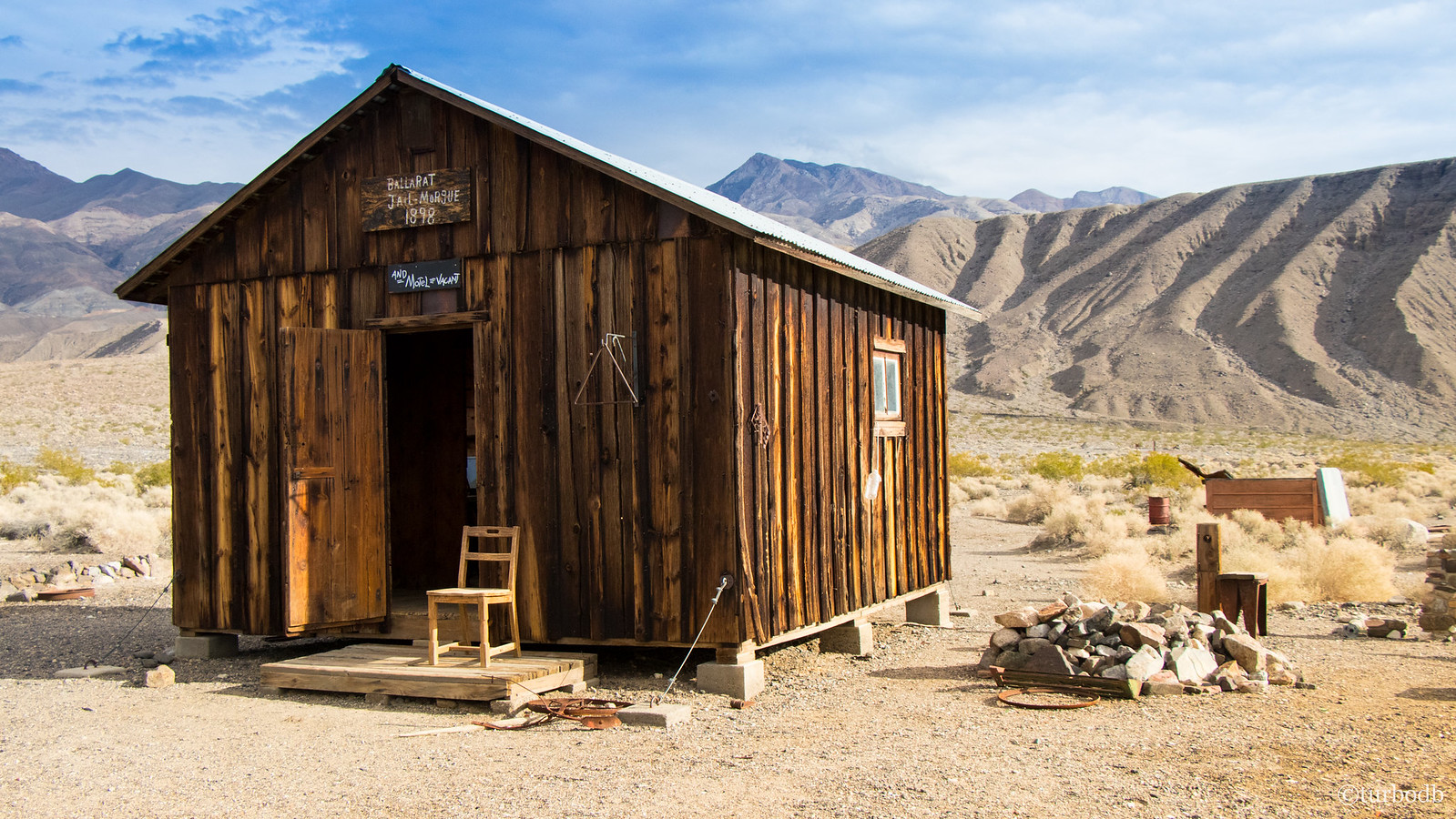
Of course, if you do end up here, the old jail is available as a place to sleep, on a first-come basis.
From Ballarat to the entrance to Goler Valley was a well groomed gravel road, on which we made great time - mostly because I only stopped once for a picture of the looks-like-snow-but-is-actually-salt Panamint Valley floor.
And then we were at Goler, looking back at Panamint Valley, now to our north. The plan was to make it through the Goler Wash and to Butte Valley where we'd find a spot to camp for the evening, so we were feeling reasonably good on time at this point - even knowing that this was one of the slower-going sections of road that we'd travel on the trip.
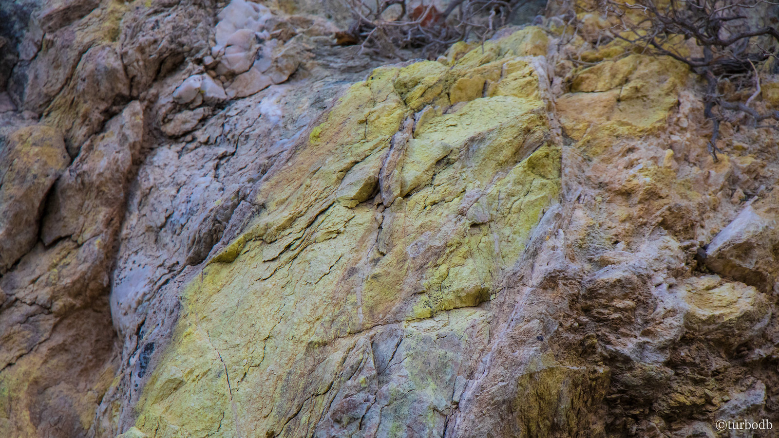
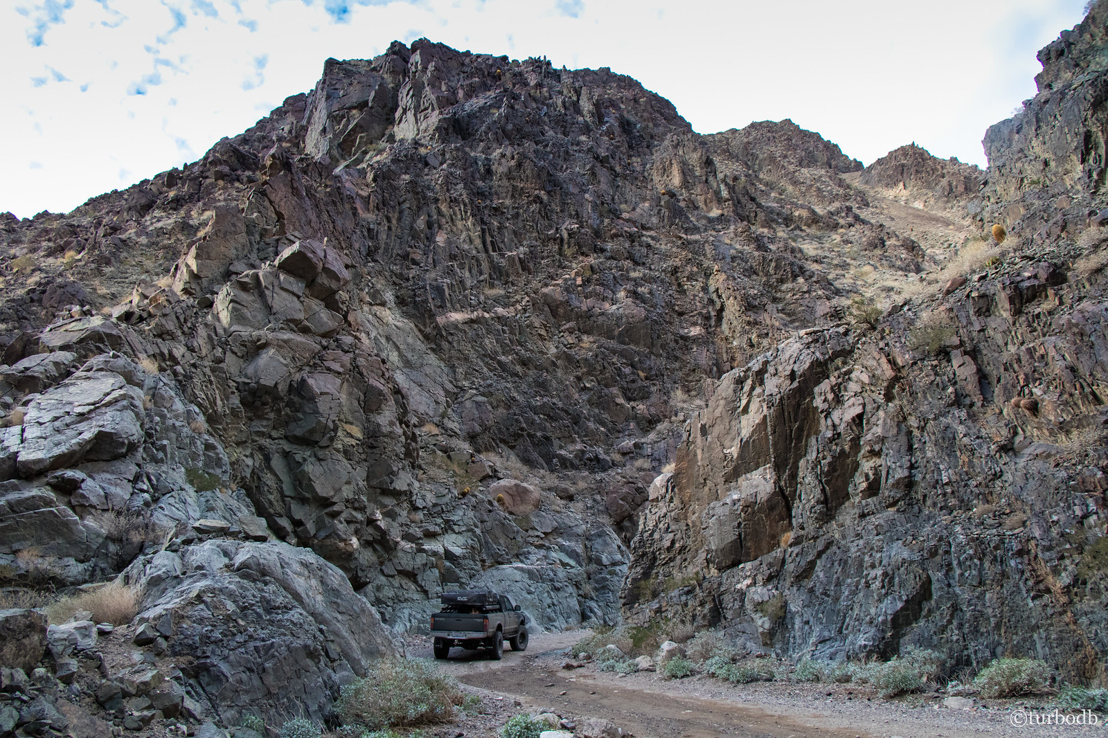
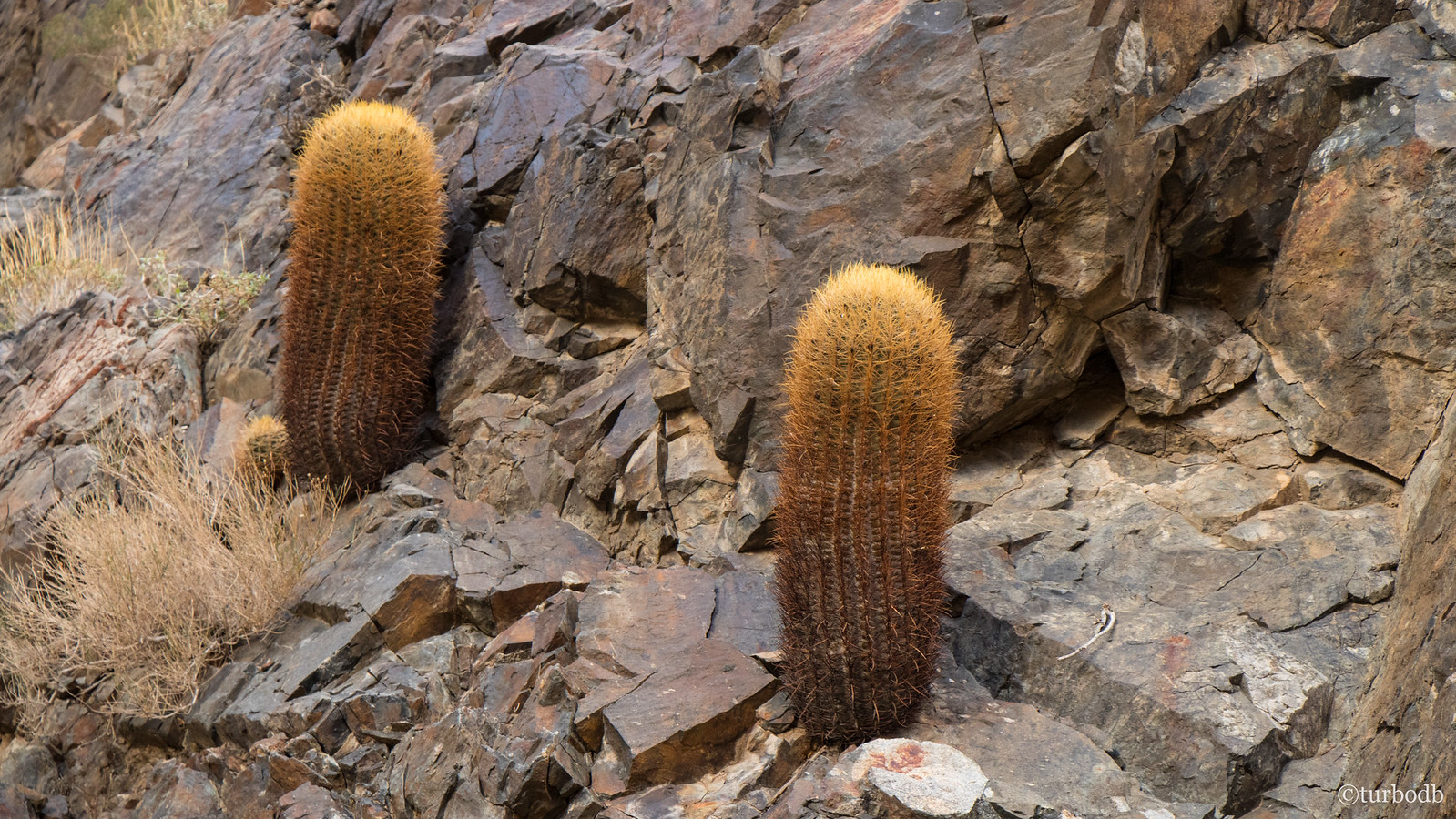
We made our way through, stopping at a few interesting sites along the way. The first were some amazing sulfur deposits right at the entrance to the wash, more sheer canyon walls (reminiscent of Titus Canyon, though not as tall), and tons of barrel cactus clinging to the walls for dear life.
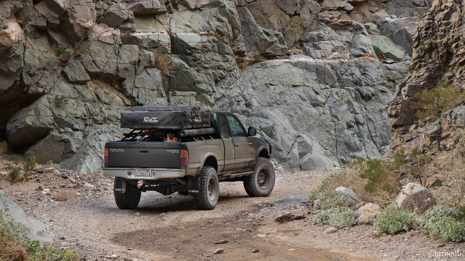
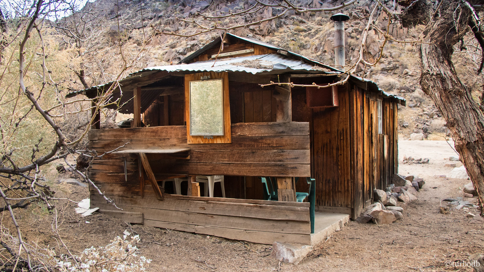
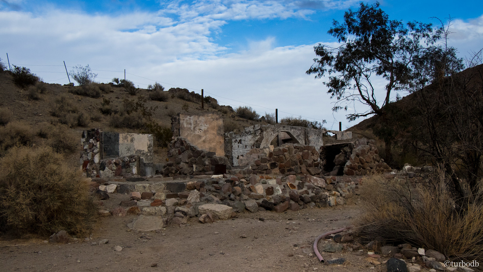
And then, for the only time all trip, we had "off-road company" - a couple guys in buggies passed us coming west just as we got to Newman's Cabin, the headquarters of - naturally - the Newman Mine. Not much there now, but the cabin itself is still in remarkably good shape due to it's metal roof and position out of the flow of water in the wash.
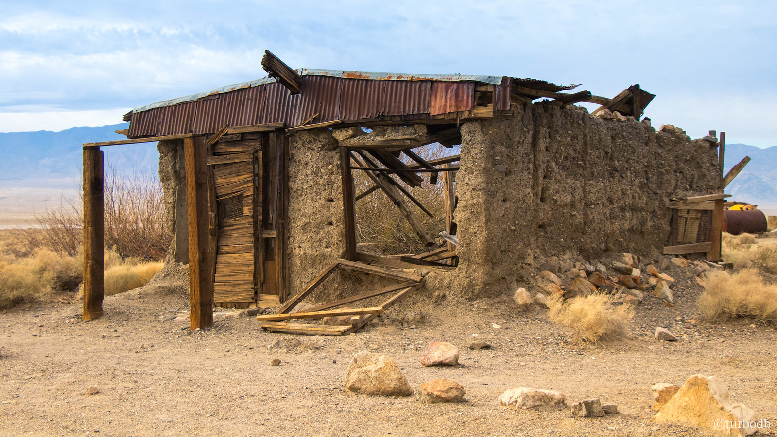
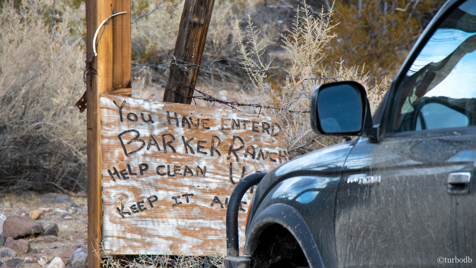
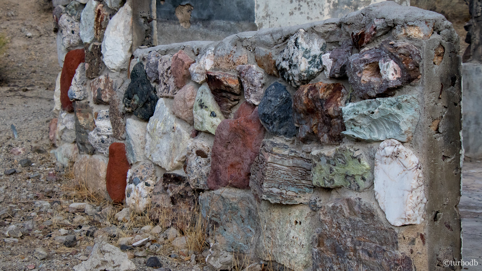
And then, we hit perhaps the creepiest point of interest on the trip - the Barker Ranch. A short off-shoot from Goler Wash, this is where the Manson family was ultimately caught - for suspected arson nearby. Definitely some cool building materials used when building the rock cabin here; some of the colorful rocks still present in the now-crumbling walls.
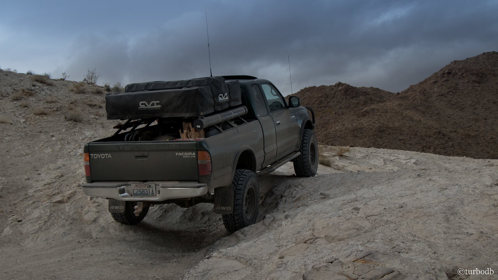
At any rate, we didn't linger but instead pushed on towards Butte Valley, where we knew that there were a limited number of cabins, available on a first-come basis. That meant driving the rest of Goler Wash, and the most technical (but not bad at all) trail of the entire trip.
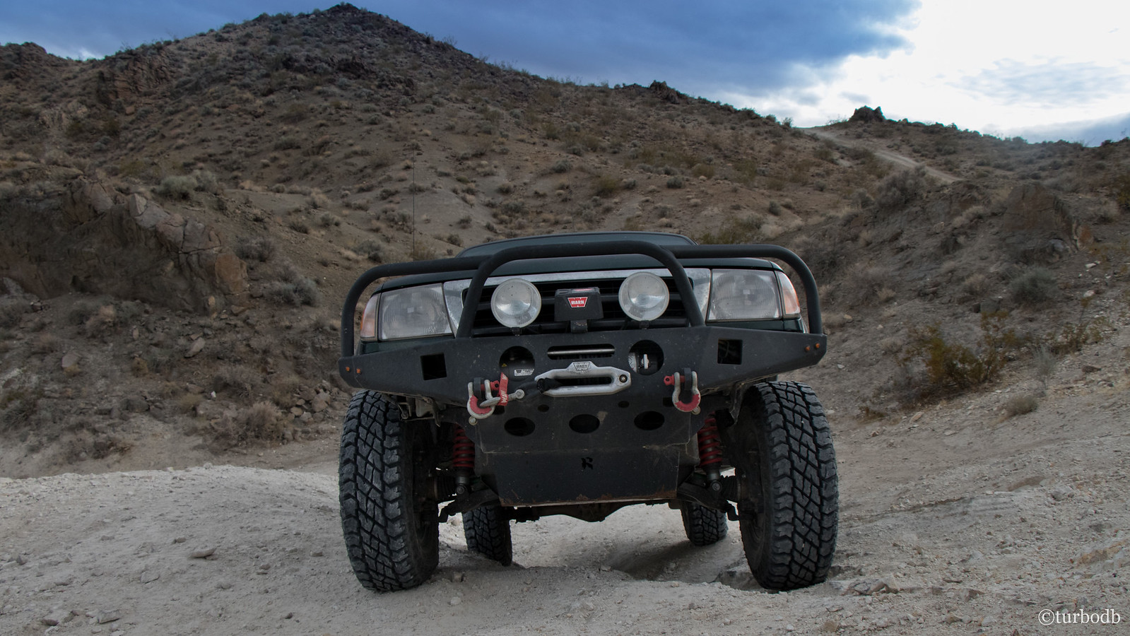
Of course, I had to take a few poser shots as we hit some of the "looks worse than it really was" sections.
And then, as if like magic, the valley opened up in front of us.
We both drew in our breath - we'd seen pictures of Striped Butte, but we weren't at all prepared for it's actual presence in the valley. It was as though someone chipped off a chuck of jawbreaker and positioned it strategically so that anyone passing by wouldn't believe what they were seeing.
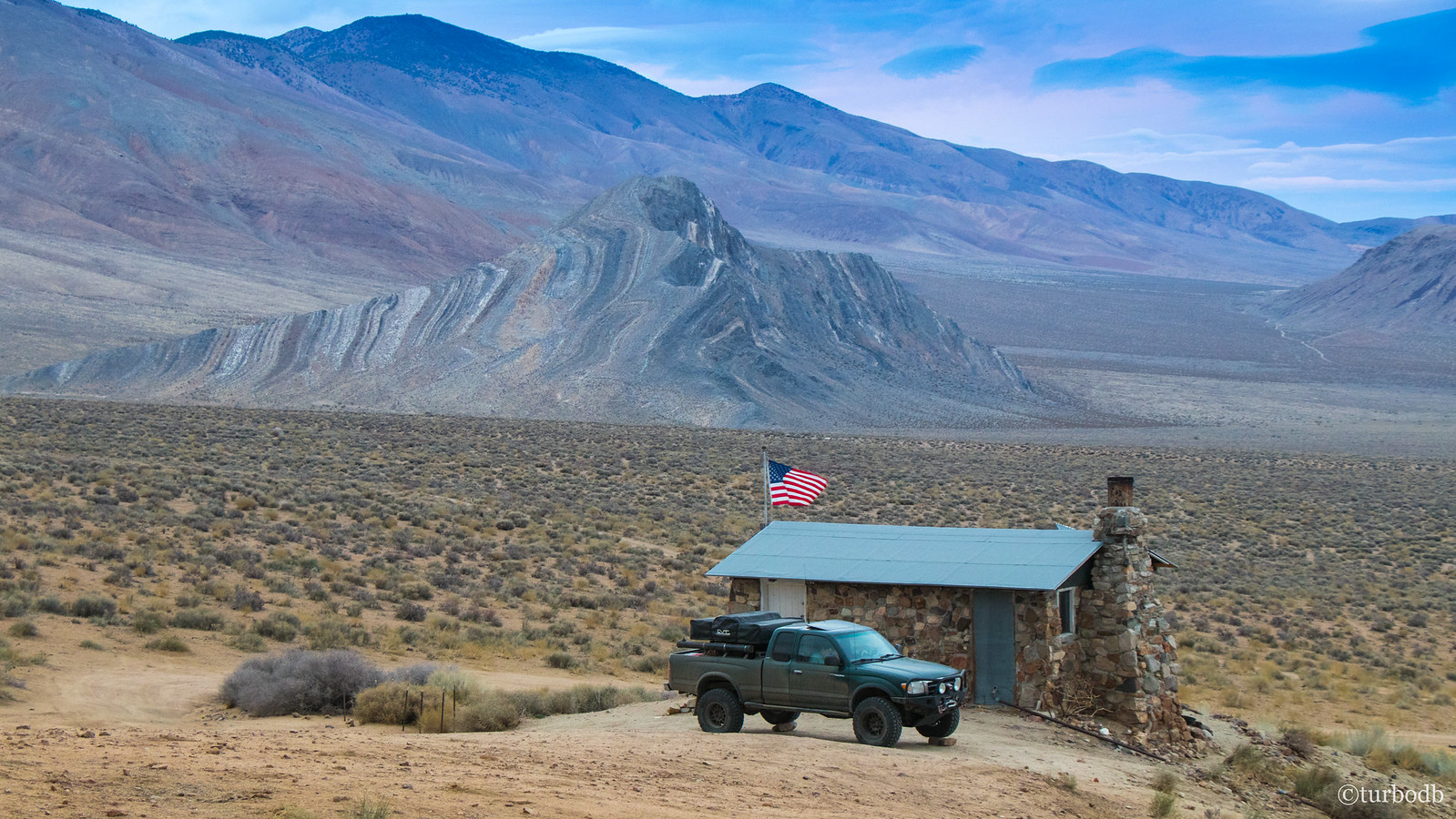
It was also at this point that we were really staring to wonder if we'd get to stay at the Geologist's Cabin or if it would be already occupied - we assumed the latter, it being a Friday evening around 4:30pm. That wasn't a problem - I new from reading Ben's trip report that there was an amazing camp site nearby with spectacular views of Striped Butte - but as we neared the cabin we were still giddy to see that the flag wasn't raised - it was ours for the night!
We pulled in, I immediately found the flag, and raised it.
And then, we setup the tent. This took longer than usual since I had to keep glancing over at the butte to make sure it was still there.
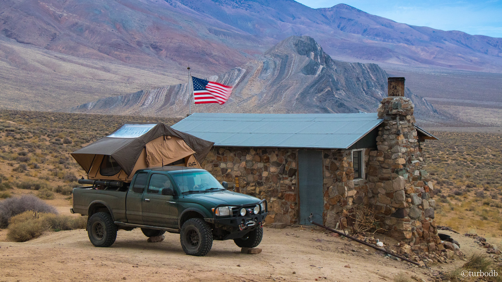
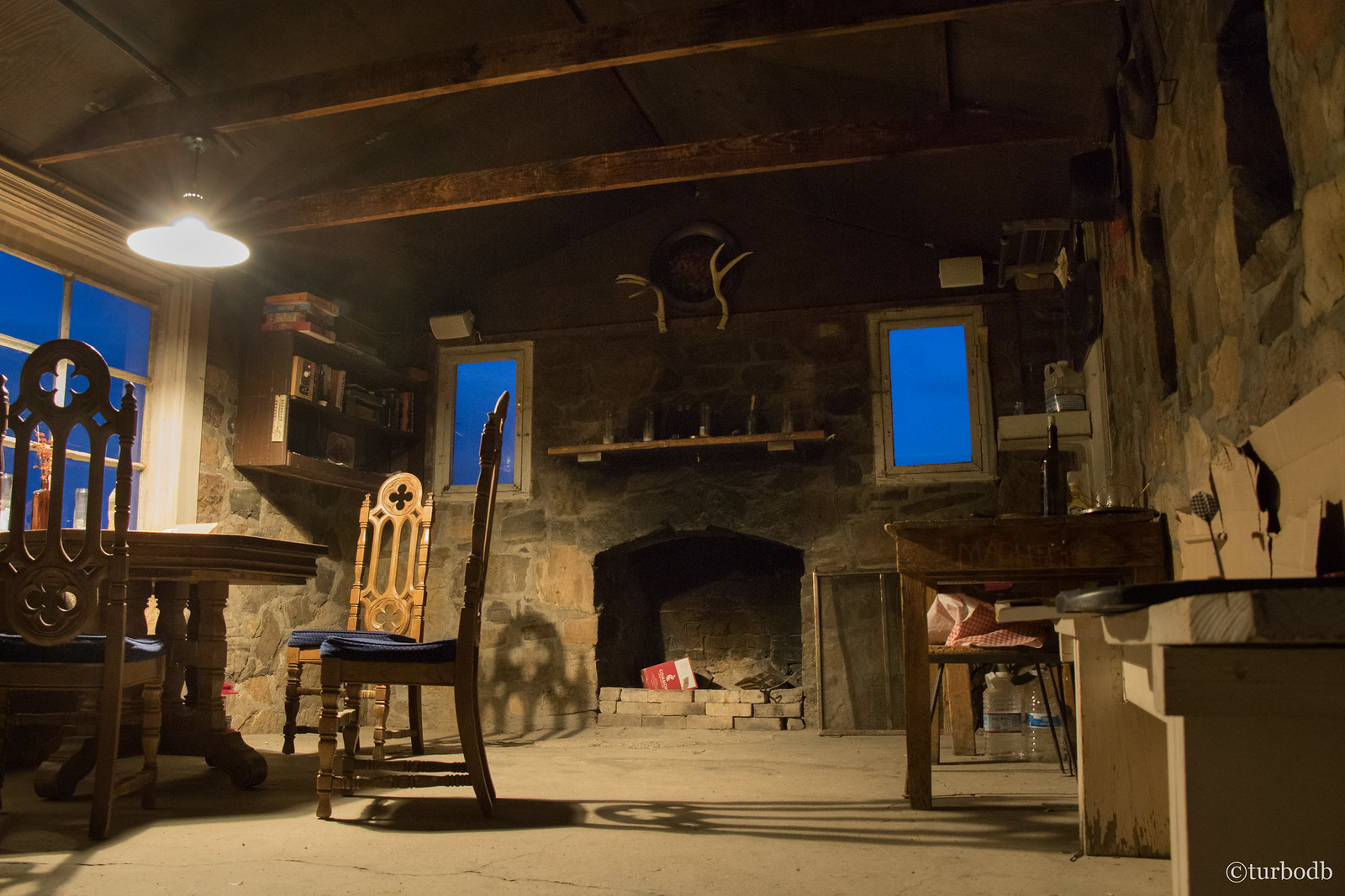
And of course, we explored the cabin. It was extremely windy, so the cabin provided a great place to eat dinner (tortellini, with cauliflower and meat sauce), and read a few of the guest book entries while we killed a couple hours before hitting the sack.
It had been quite the day. There were so many amazing things we'd seen that even as we sat in the cabin we couldn't believe that we were talking about things we'd seen mere hours before.
Eventually we got tired and climbed into the tent. The wind had picked up even more, so I removed a few of the poles and battened down the hatches to reduce flapping as much as possible. We put in our earplugs and got cozy under the covers.
Little did we know what was in store by the time we'd wake up the next morning…
The Whole Story
")


Love Death Valley? Check out other trips!
")

")


")

")
")


")
")


Mengel Pass looks like it was in much better shape when you went through than when I made that trip in 2017.
Really enjoying the site. I found it earlier today when I was searching for some new places to camp near home in Boise. We were out in the Owyhee wilderness a few weeks ago which turned out to be the last trip in the 2nd gen Tacoma we would do. The engine blew shortly afterwards and I ended up with a new truck and am just about finished moving everything over to it from the old truck.
Keep getting out there! We do as much as we can and have been enjoying our new turf here in SOuthern Idaho.
Thanks Tom! Glad you found the site - lots of fun stuff to read through and add to lists, for sure! I do the same thing with other sites when I find them! As for Mengal - yes, it was definitely in reasonably good shape for this trip. Plus, I think it's always easier to travel west-to-east, which we happened to do this time as well. As it turns out, I was back in DV not too long after this trip (a few months), and ran it from east-to-west - it was much more torn up. I'm sure it changes all the time, and I bet the last couple years haven't been all that nice to it, with the increased traffic.
Anyway, hope you enjoy all the content - lots more Death Valley trips here, if you're interested: Death Valley National Park.
Oh, and if you have suggestions of places you've enjoyed - in DV, Idaho, Oregon, wherever, I'd love to hear them! Places like Owyhee are high on my list of favorites. 👍
I've got a spot south of the Owyhee in Nevada that I have been going back to every year for the last 30 years. Coming in from the north requires about 100 miles of dirt road from Hwy 80 south, not that it's a bad thing. Lots of old mines, OHV trails, springs and ghost towns to explore. I don't like to publicize it due to the increased traffic and damage to what is left but drop me an email and I'll fill you in. We usually head down there in June and September.
There are some amazing spots not far out of Boise we have been finding that have been epic.
On May 9, 2008, a group of forum members from the Panamint Valley.com forum and I took a tour from Panamint Springs, over Hunter Mountain, the Racetrack, down Lippincott and over South Pass. A nice, 17 hour long day from my home in Big Pine and when I returned well after midnight.
On the trip, we had a mystery: cowboy boots. We found them hanging from the Teakettle Junction sign, and within one of the adits of the Lippincott mine.
Here, the late "Rubiblue," of Ridgecrest, who drove - what else, a blue Jeep Wrangler Rubicon - quips, "I wouldn't drink tea brewed in any boots except for Tony Llamas!"
March 17, 2001 descending the east side of Mengel Pass. This was back when I was driving a fully stock, minimally equipped 1996 Chevrolet S-10 4WD pickup. Stock (read low) suspension, no skid plates. That truck taught me good line picking skills. To its credit, everything that looked vulnerable was well tucked up above stout frame rails. By the time this photo was taken, it was a seasoned Goler/Barker/Mengel/Butte Valley/Warm Springs Wash veteran. The last time I traveled the route was after I bought my '02 Tacoma TRD Off Road, travelling east to west, but by then the route down Goler had been filled in and was like driving a freeway.