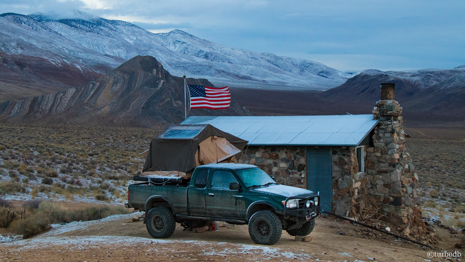
We were glad to have battened down the hatches on the tent, because the heavy winds continued all night, literally shaking the entire truck as though we were in a series of mini-accidents. Needless to say, our sleep wasn’t as great as it'd been the previous night when we were sheltered in Racetrack Valley.
And then, around 1:00am, the wind got significantly colder, and we started to feel moisture in the air. We didn't realize it at the time as we zipped up the remaining windows, but the moisture we were feeling was snow. By the time I rolled out of bed around 6:30am, even with heavy winds there was still a nice dusting of snow in the valley, and the surrounding mountains were white.
So yeah - we went to Death Valley to escape the cold, and we got snowed on. You don't see that every day.
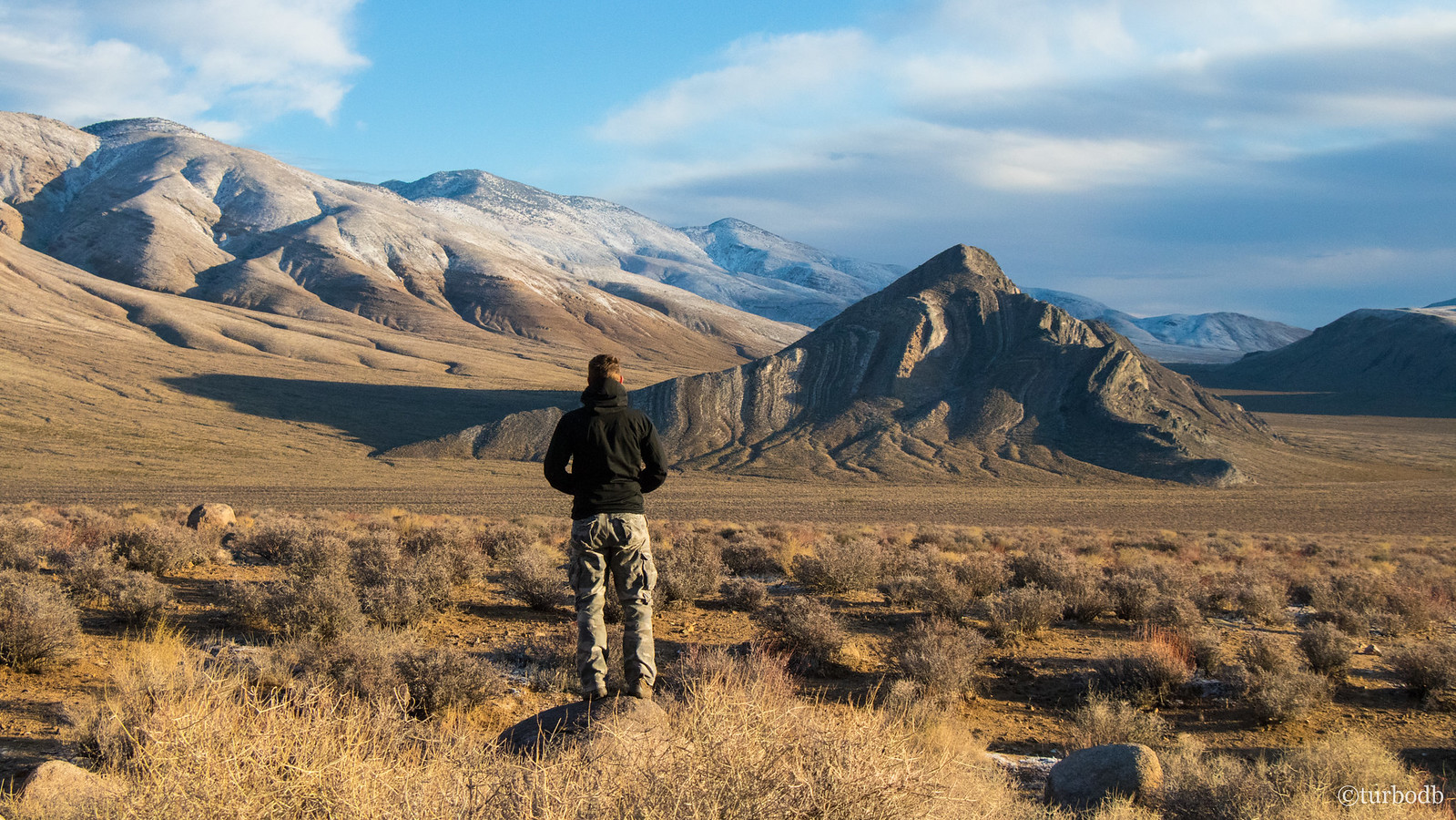
Just as I headed out for my morning stroll and photos I heard a pack of coyotes, and a burro in the distance. Hoping I'd see them both, and that the clouds would clear in time for an amazing sunrise, I got going.
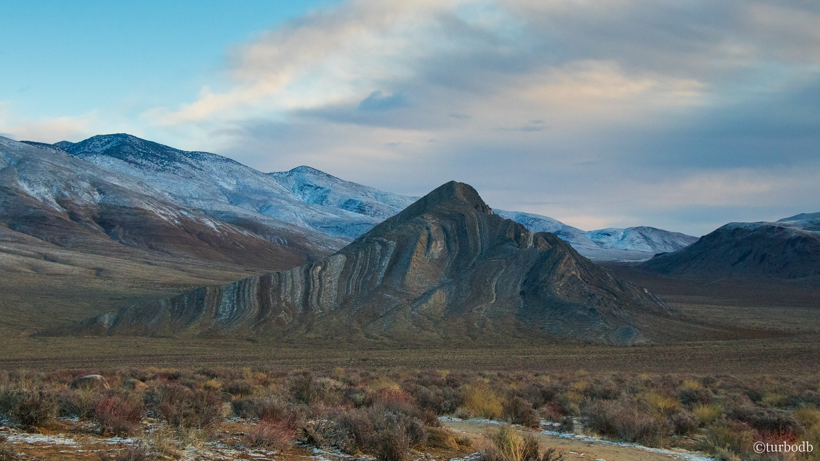
While the clouds eventually cleared (after sunrise), I never saw either the burro or coyotes. I did however get to enjoy amazing views of Striped Butte again, as the sun hit the valley floor and started to warm things up a bit.
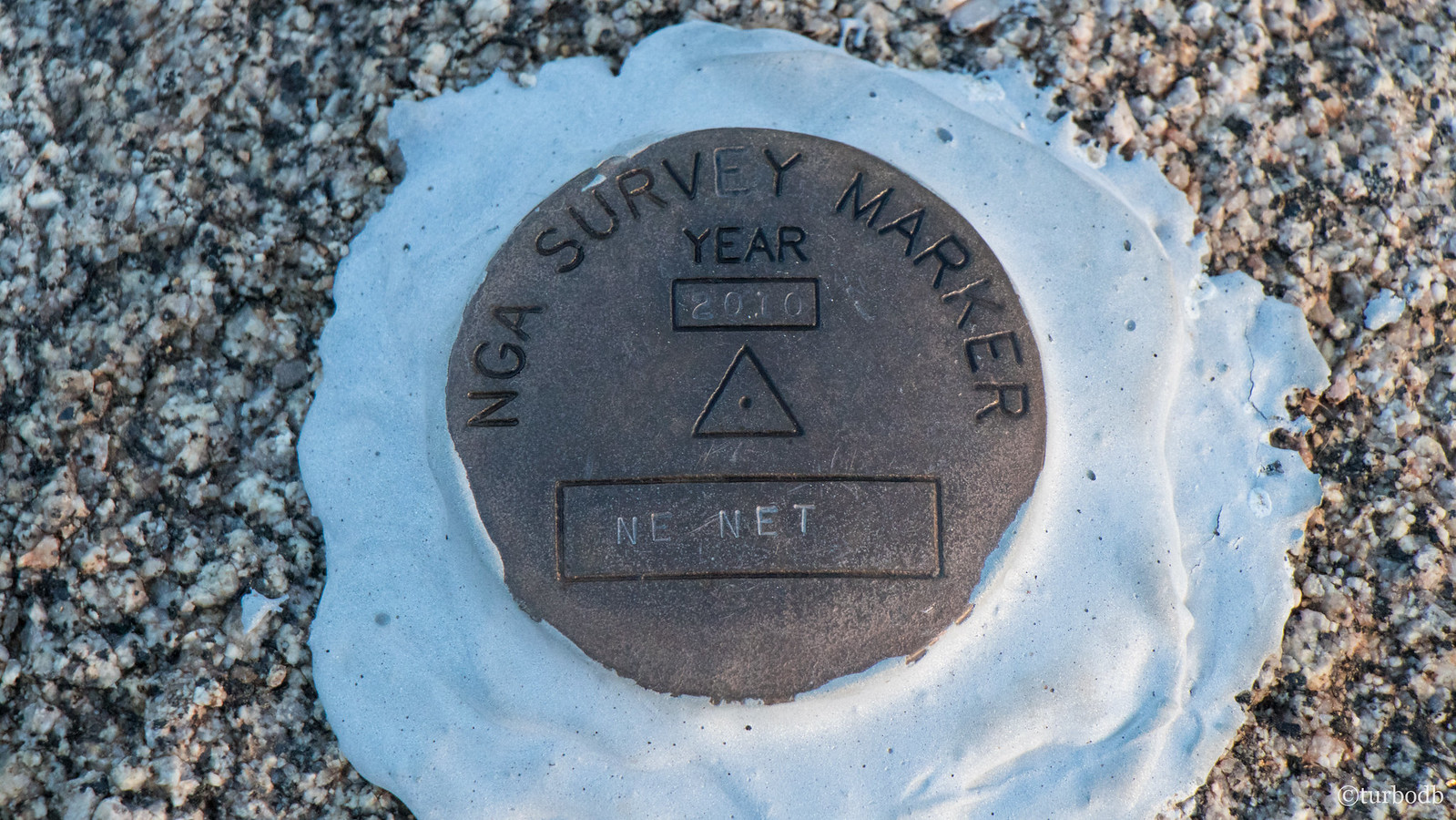
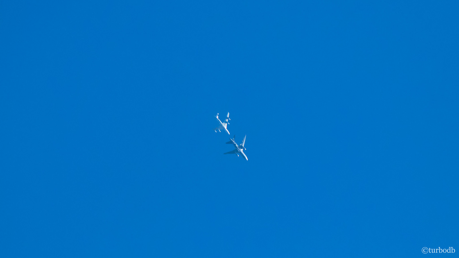
I also stumbled upon a USGS marker (perhaps placed by the same geologist who built the cabin? - unlikely given a 2010 date :)) and then heard two planes flying overhead. As I looked up, I thought - boy, you don't see that every day - it was the military practicing in-air refueling!
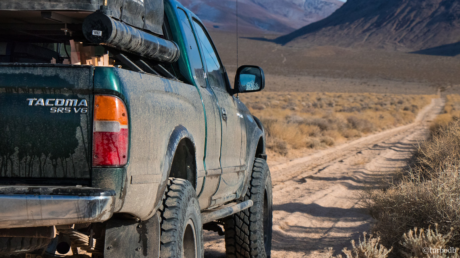
Too soon (as was becoming a theme), I decided to head back to camp - for breakfast, and to get going on our second full day in the park - because once again we had a lot of ground to cover.
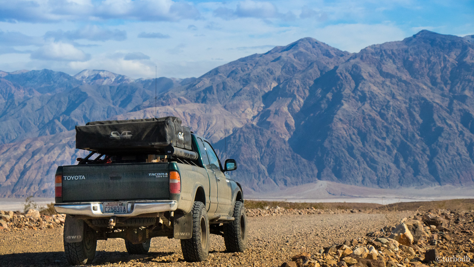
As @mrs.turbodb got our breakfast ready, I set about brushing the snow off the tent (luckily it was a relatively dry snow so the tent didn't go away wet). The wind was still fierce (which made it cold, but also started blowing away the clouds), so we ate quickly and got on our way, east towards Death Valley; driving by Striped Butte on our way.
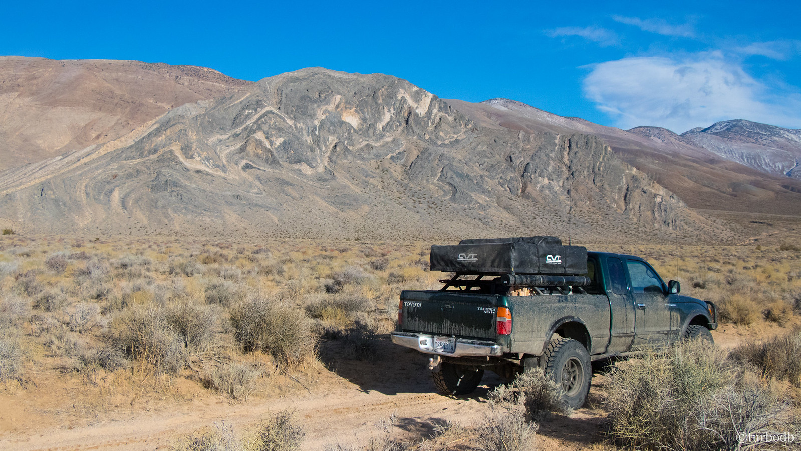
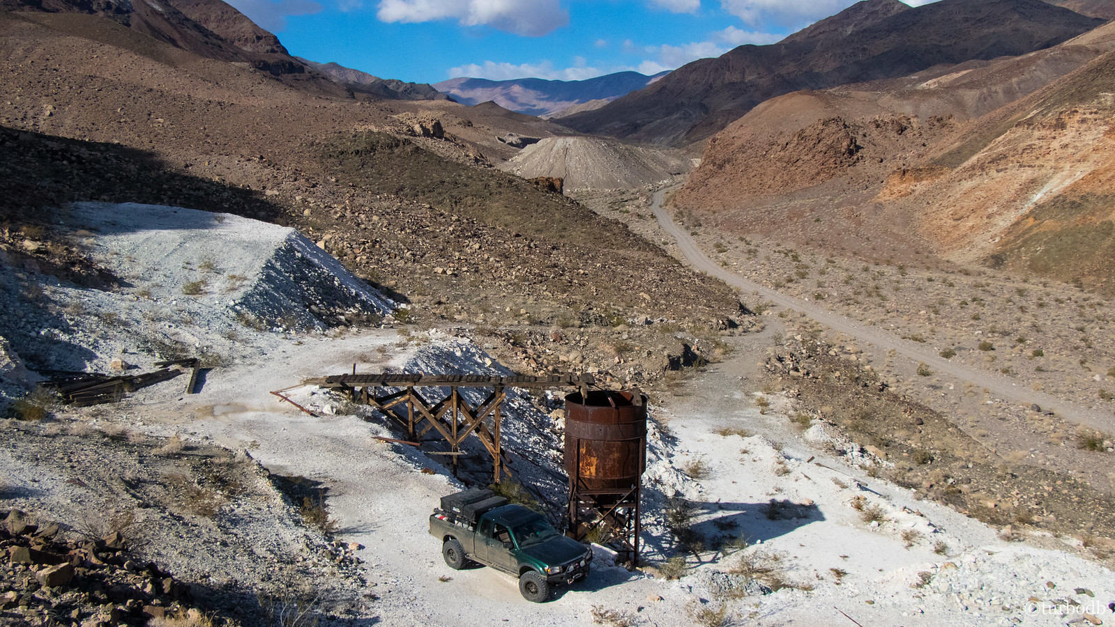
Warm Spring Canyon Road connects Butte Valley and Death Valley, and is sprinkled with no less than six abandoned mining sites from the Warm Spring (Talc) Mine, as well as several other smaller mines. Still early in the day, we decided that we could stop at a few of these sites - and we were glad that we did. The Warm Springs Mine was a much newer mine than many of the others in the area, and so everything was much bigger - truck rather than burro sized.
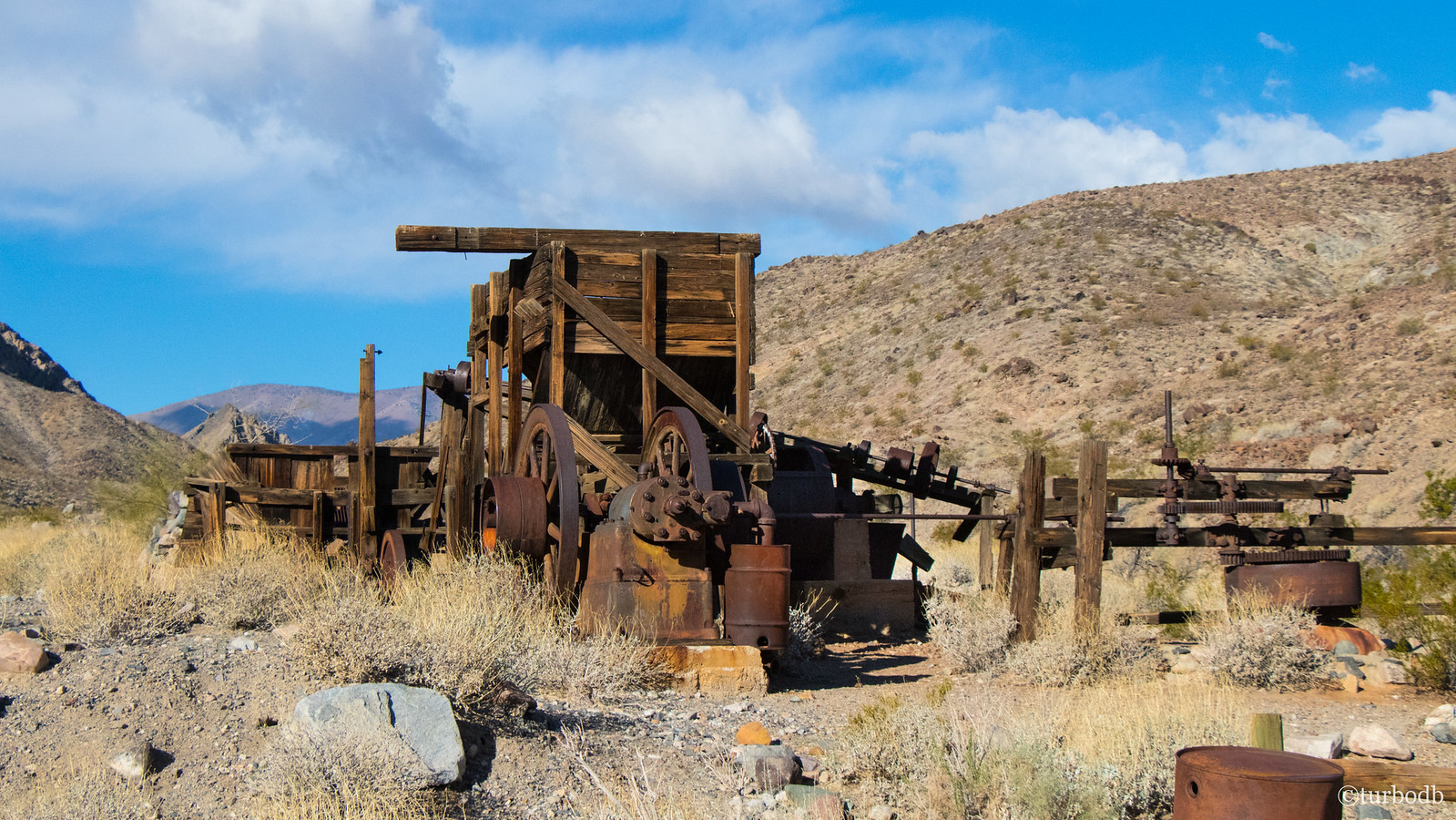
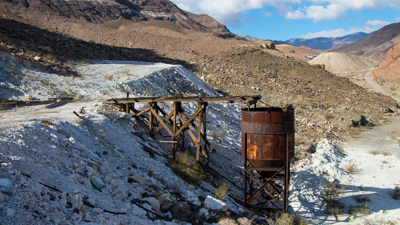
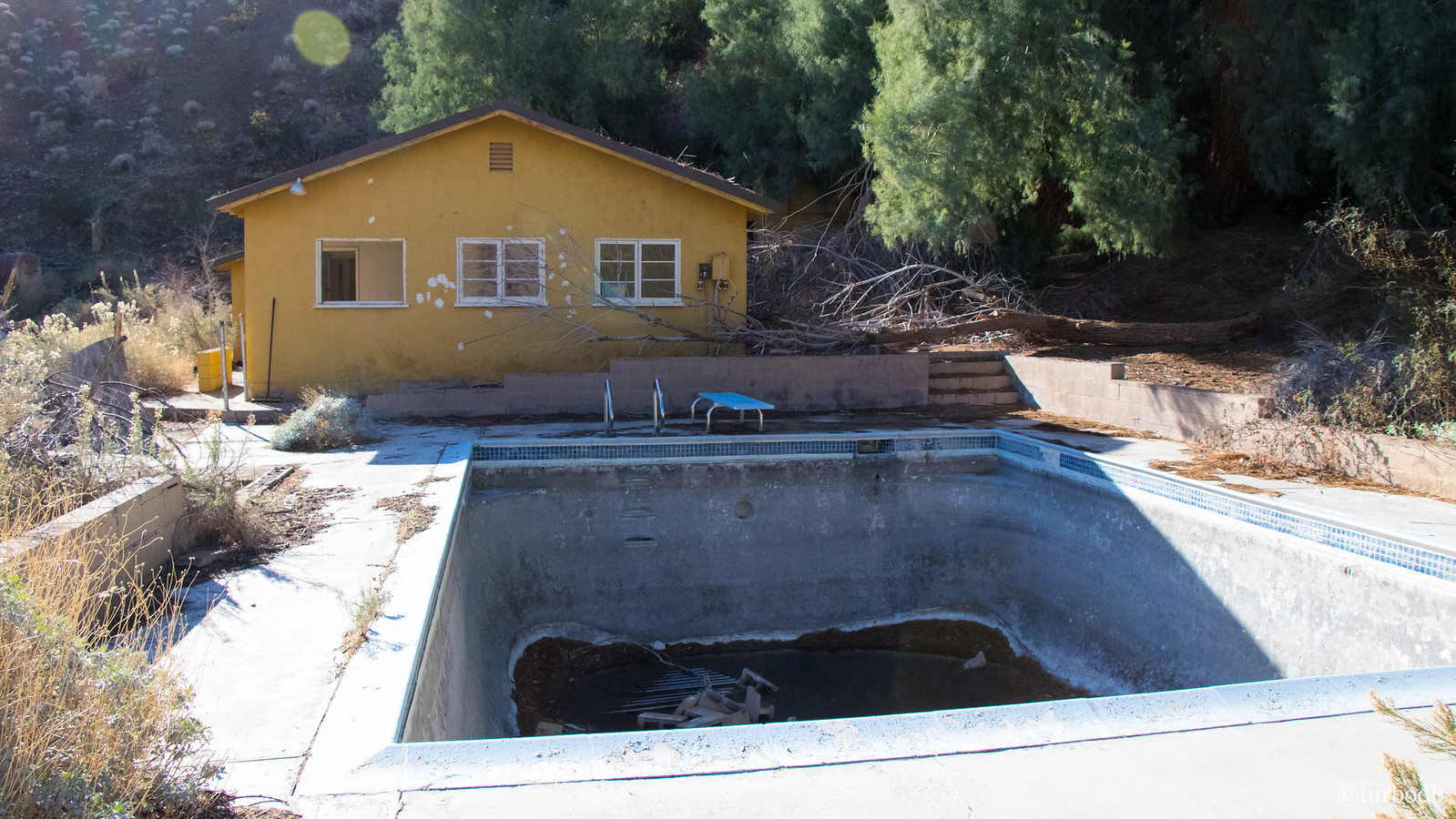
The buildings too were newer, and apparently some of the best conditions of any mine in the area. Founded in the 1930s by a woman named Louise Grantham and ran for several decades before being closed down. And, in another "don't see this every day," the dormitory at the mining camp even had a swimming pool.
Of course, Warm Spring is aptly named for a hot spring at the mine site, which was temping in the cool crisp morning, but we held out given our packed itinerary - yet another place to explore more on a return trip!
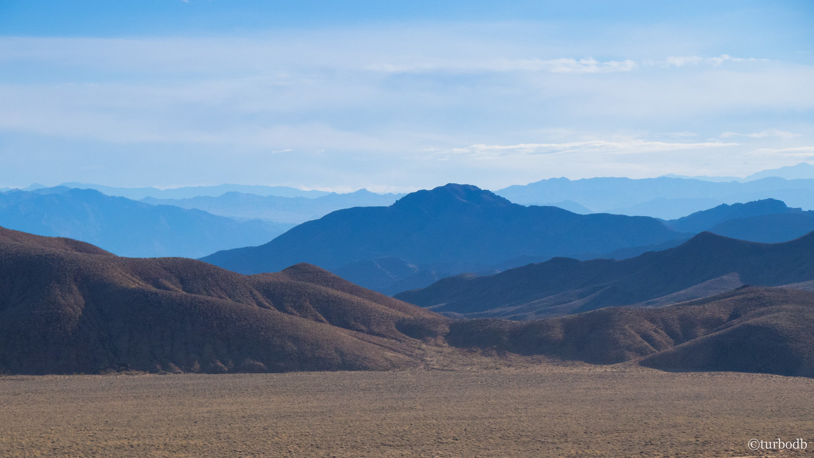
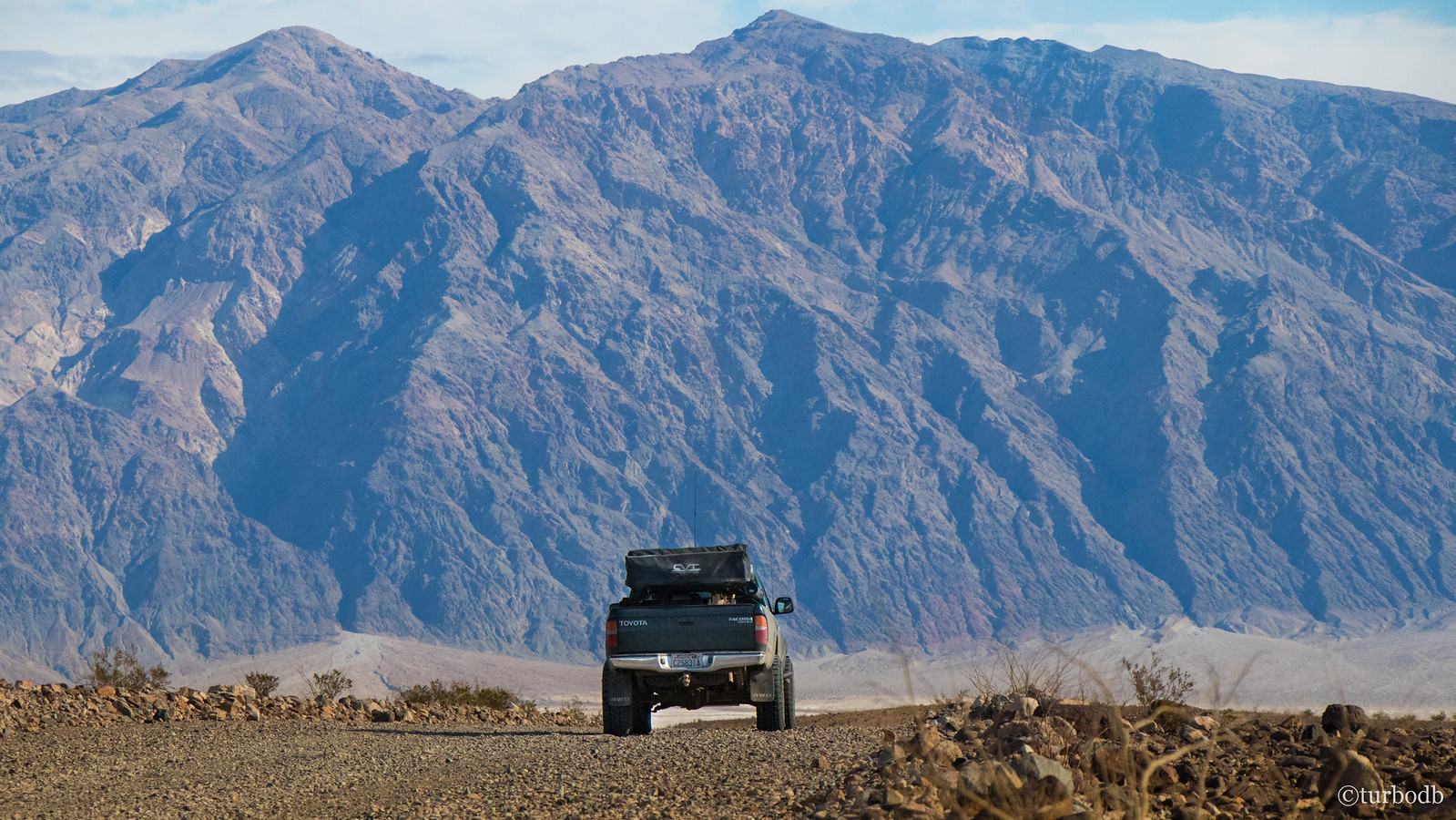
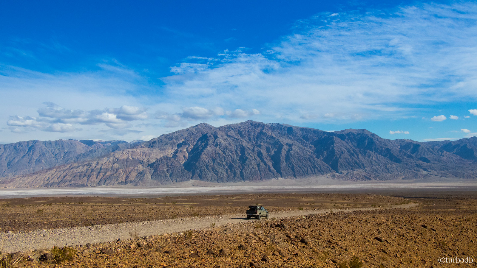
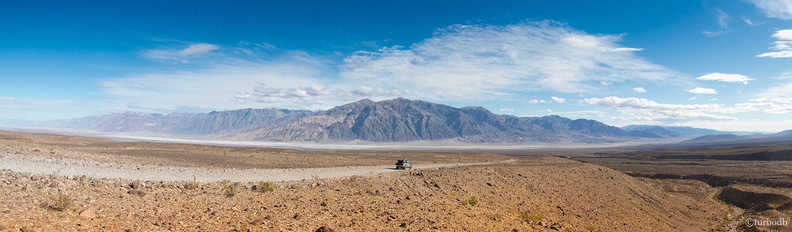
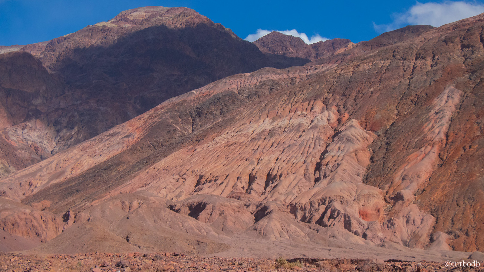
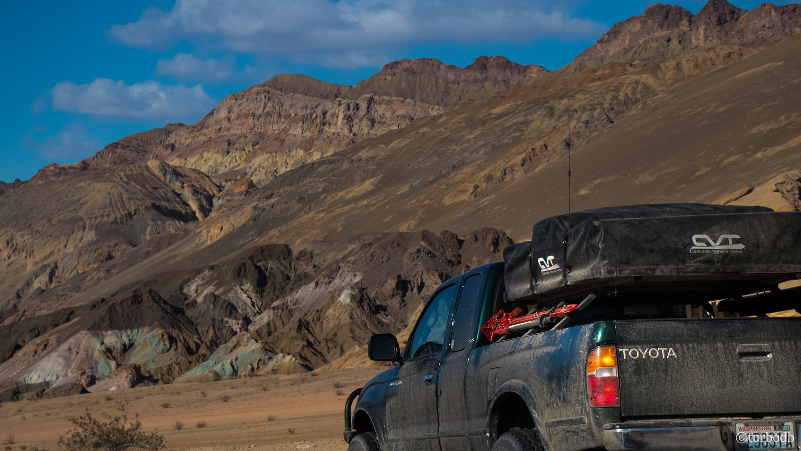
We continued down the canyon towards Death Valley, and as one canyon gave way to the other, it was a sight to behold. Compared to the slot canyons we'd been in; Death Valley was immense!
We first headed south to check out the Ashford Mill Ruins (underwhelming and completely skippable) before heading north to catch a few of the more touristy attractions in the park - Badwater Basin, Natural Bridge, Devil's Golf Course, and Artist's Pallet.
If you're headed to Death Valley, we'd totally recommend doing these things once; but then skip them in the future - the less developed parts of the park are much more interesting!
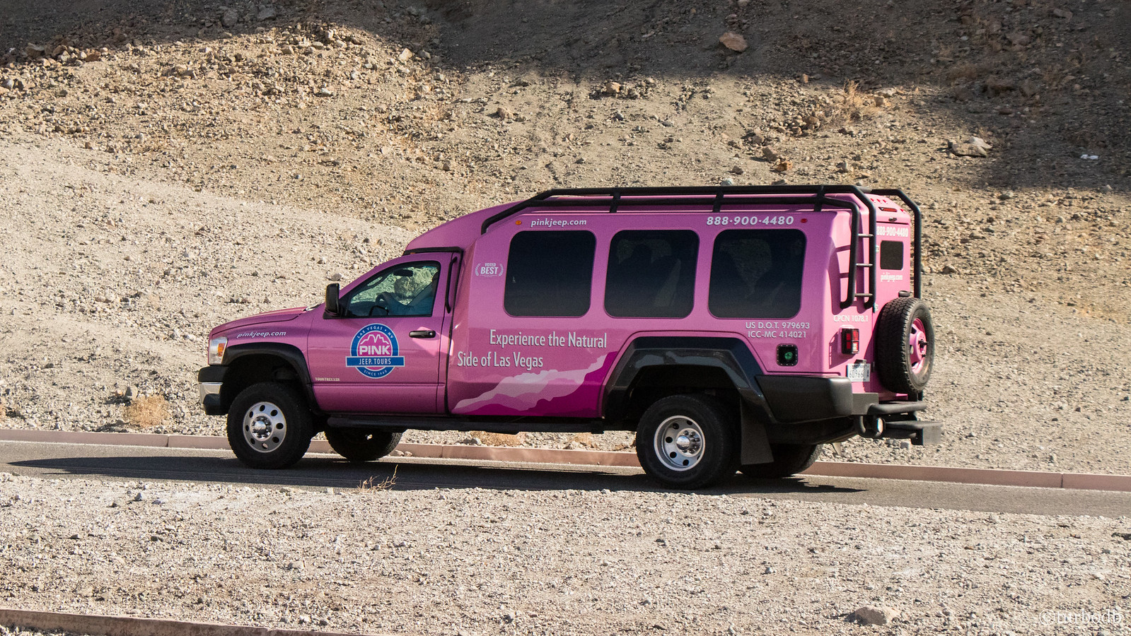
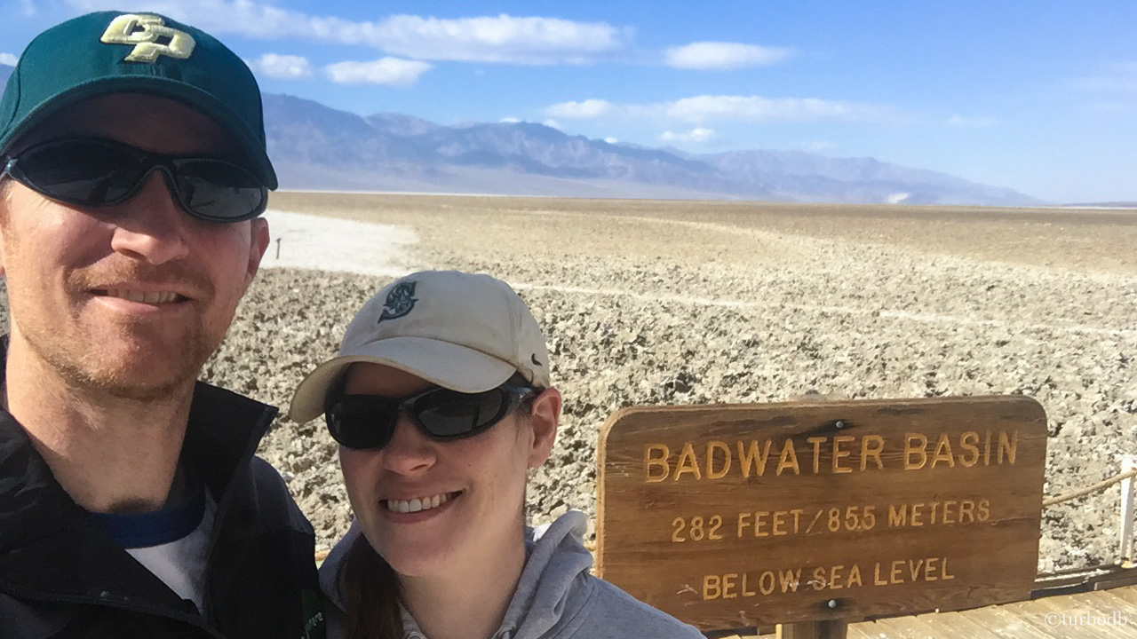
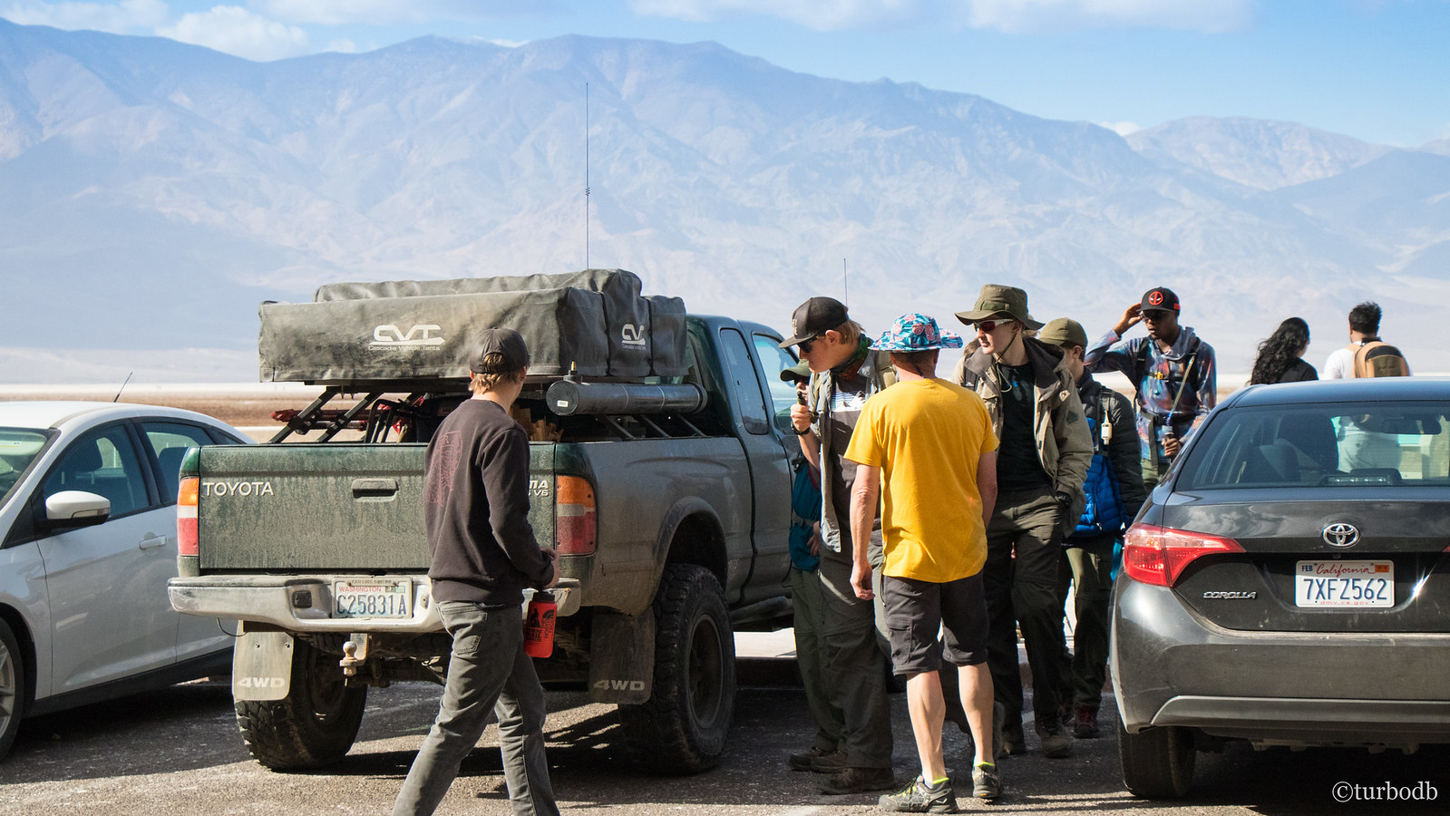
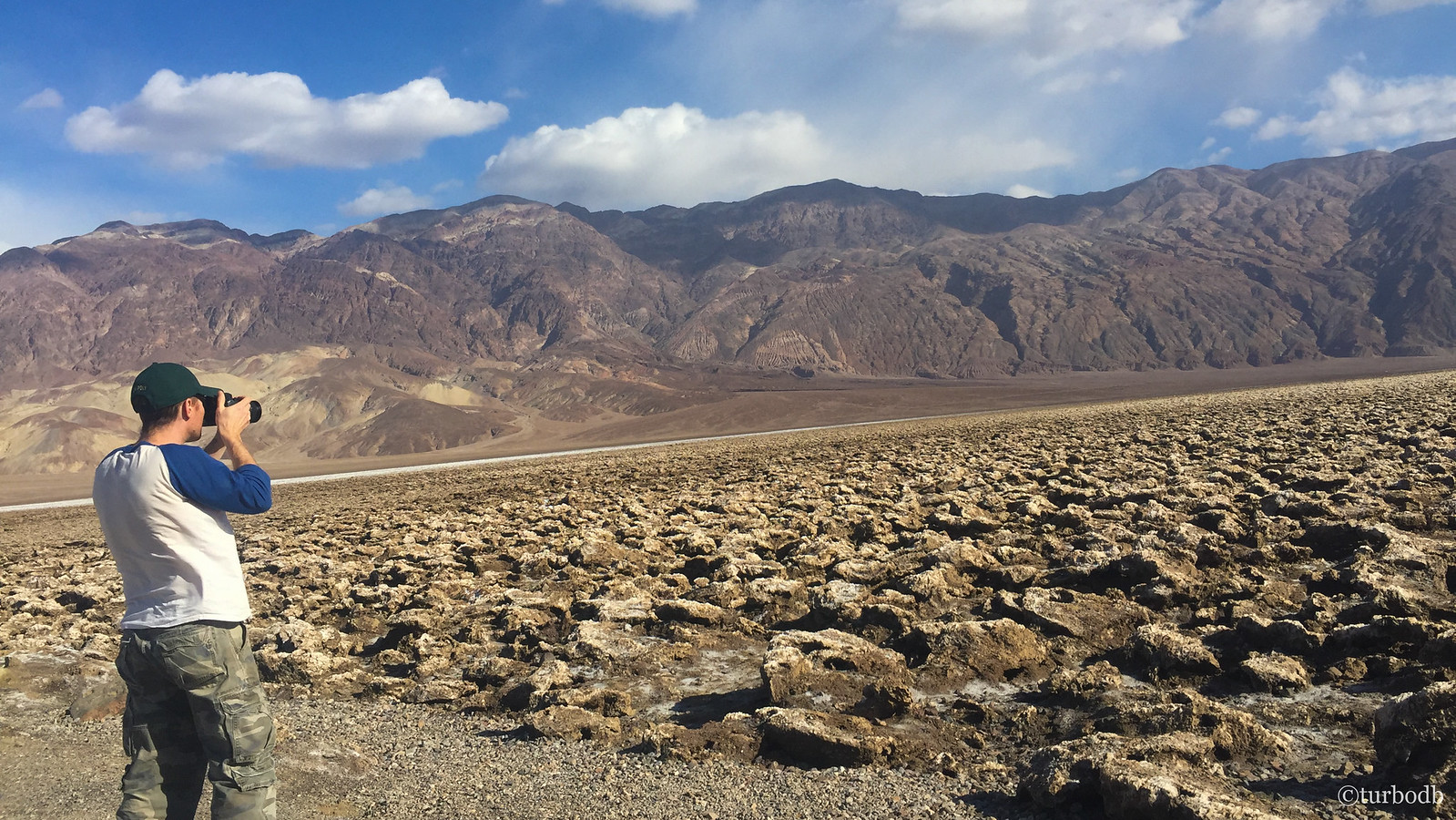
Badwater Basin - the lowest elevation in North America at 282 feet below sea level - was packed with tourists, even early in the morning and in the off-season. Several of them came in this "Pink Jeep Tour" - a must, given the newly paved road to the parking lot.
After a quick lunch, we headed out to take a look and snap our own touristy photo at the infamous sign.
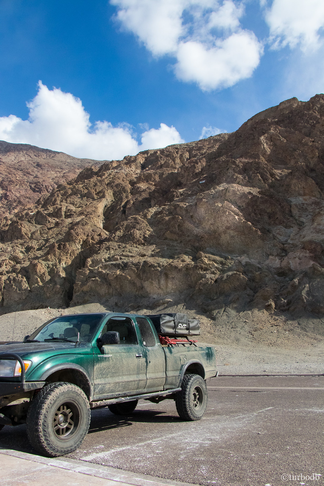
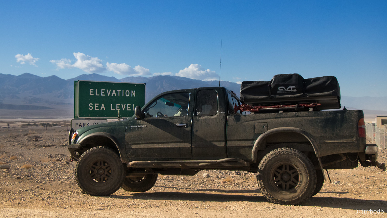
As we came back to the truck, we noticed two things - first, that there was a pretty cool sign up on the canyon wall behind the parking lot marking sea level; and second, that the truck had become the envy of a visiting Boy Scout troop. "If only we were a caravan." I mentioned to @mrs.turbodb as we beeped the key fob and unlocked the doors!
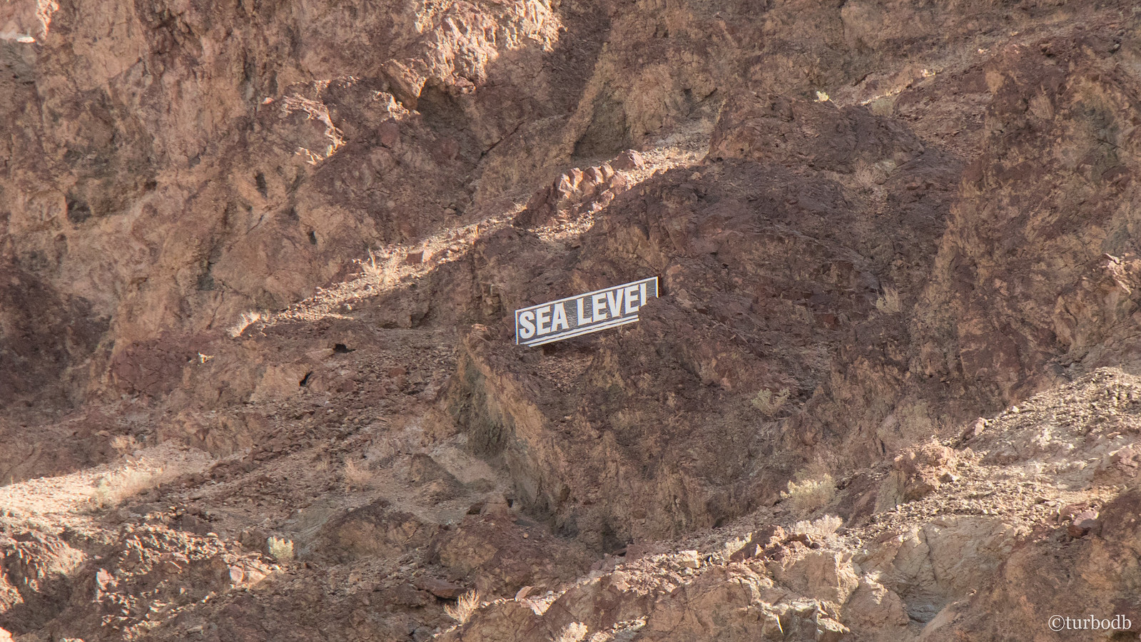
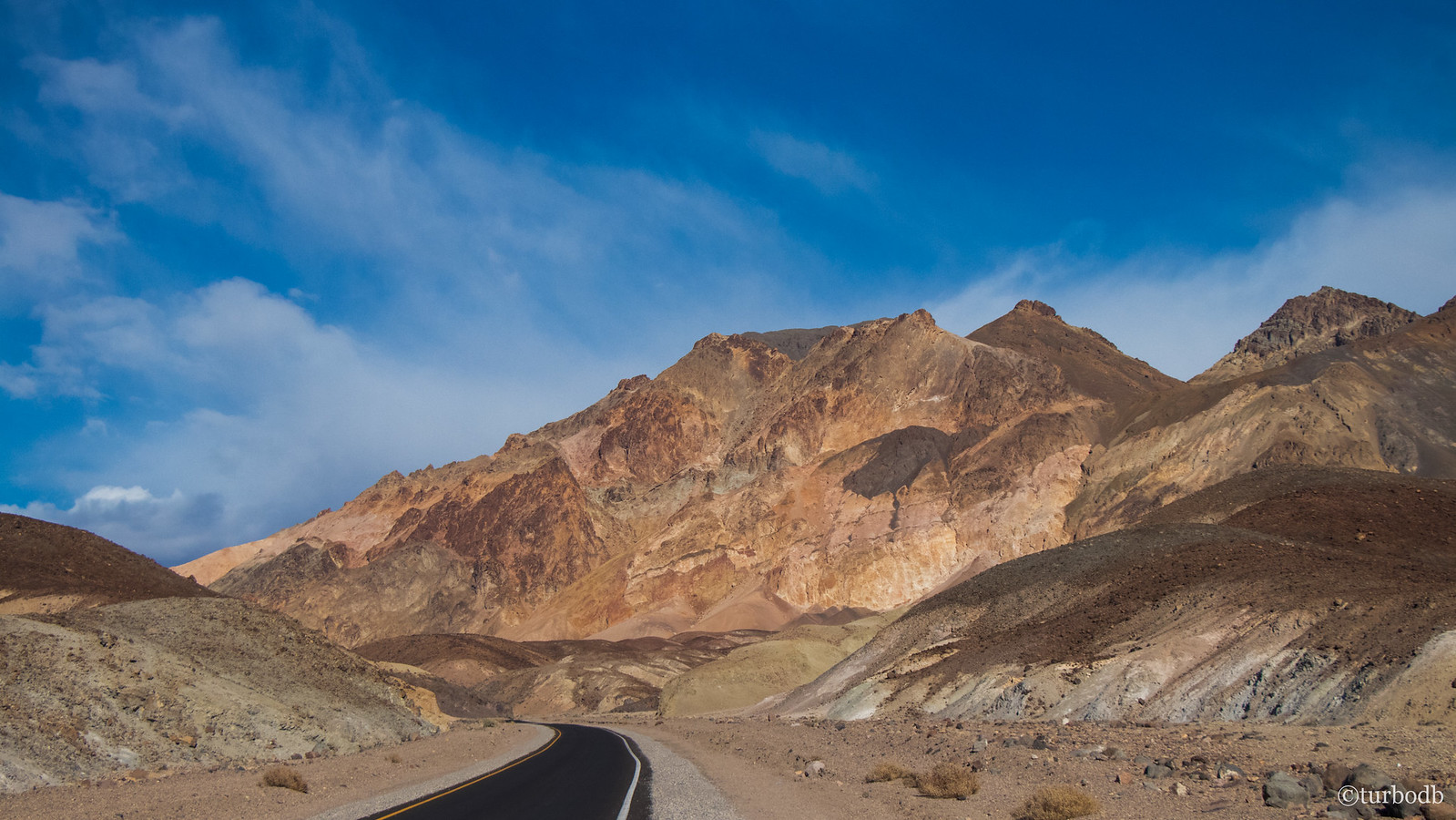
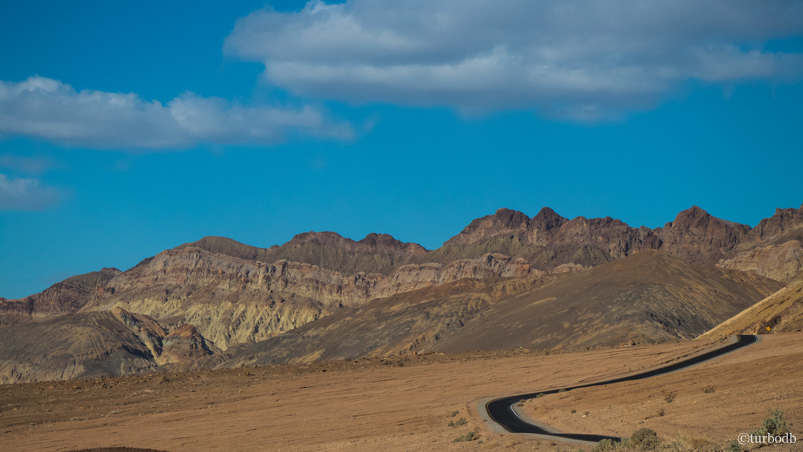
From there we headed north - on pavement for nearly 40 miles - with a few stops along the way at Natural Bridge, Devil's Golf Course, and of course, an "Elevation Sea Level" sign, before nearing the Mesquite Flat sand dunes in the middle of the park, and the beginning of our next off-pavement adventure.
Natural Bridge.
Devil's Golf Course - only the devil could play golf here.
Artist's Palette Drive. Not the dirt road we had expected. ☹
You don’t see this every day (though, in fairness, having grown up on the coast, I guess it's not all that rare). Usually, you don’t drive up in elevation to get to it though!
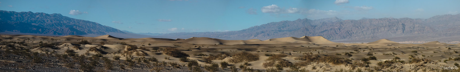
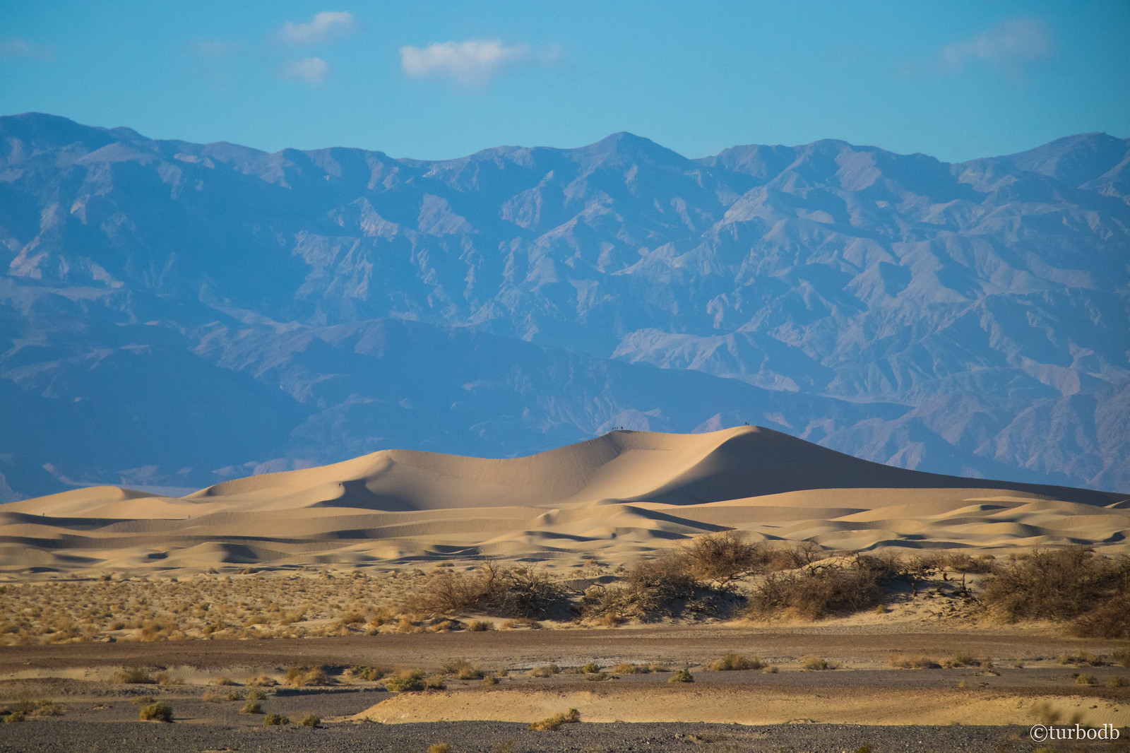
Eventually we made it to the dunes - hikeable if you have the time - which were quite the sight in the late afternoon sun. Oh, if only we had another month - it would have been amazing to walk out along some of those ridges.
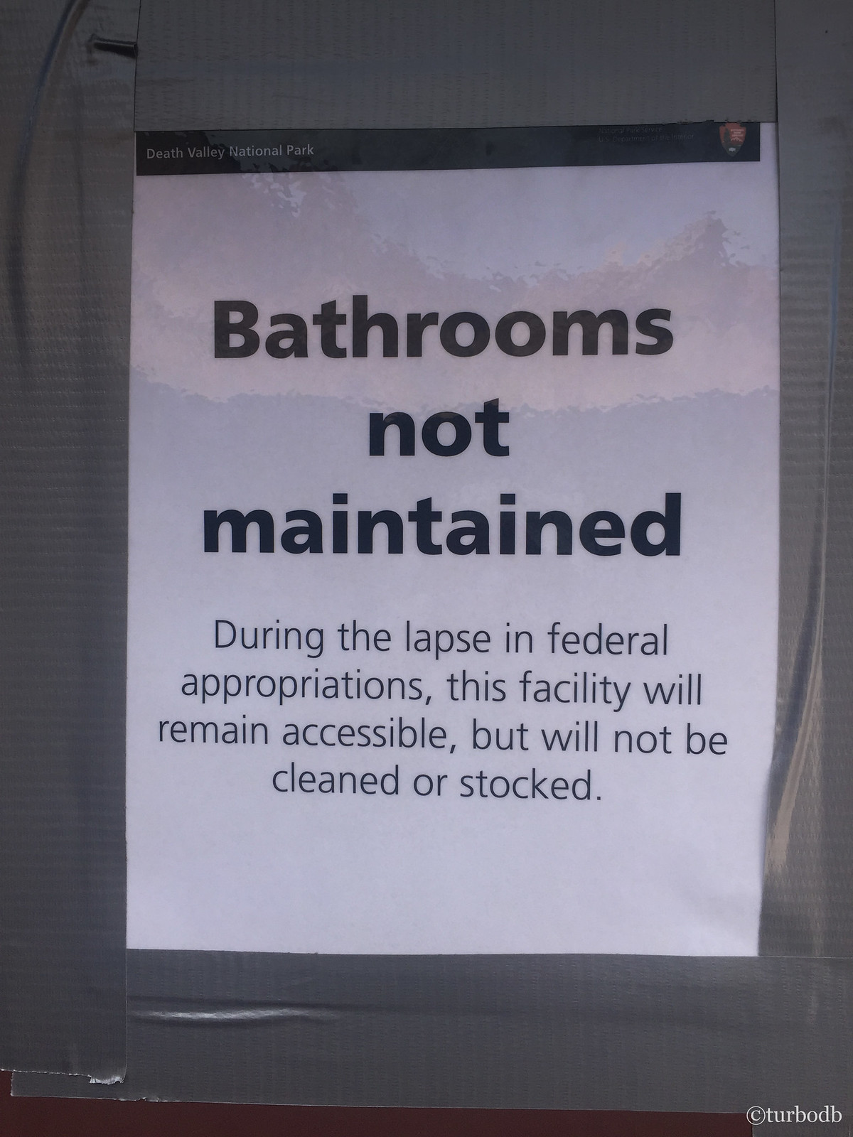
But alas, we had two more canyons to explore before we planned to call it a day, and so we headed to through Stovepipe Wells where we'd planned to pay our park fee, only to find out that there was a government shutdown.
It's not every day that you get a legally free trip to one of our National Parks!
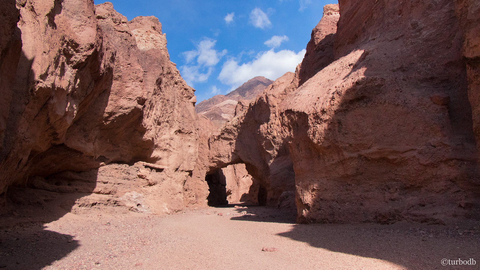
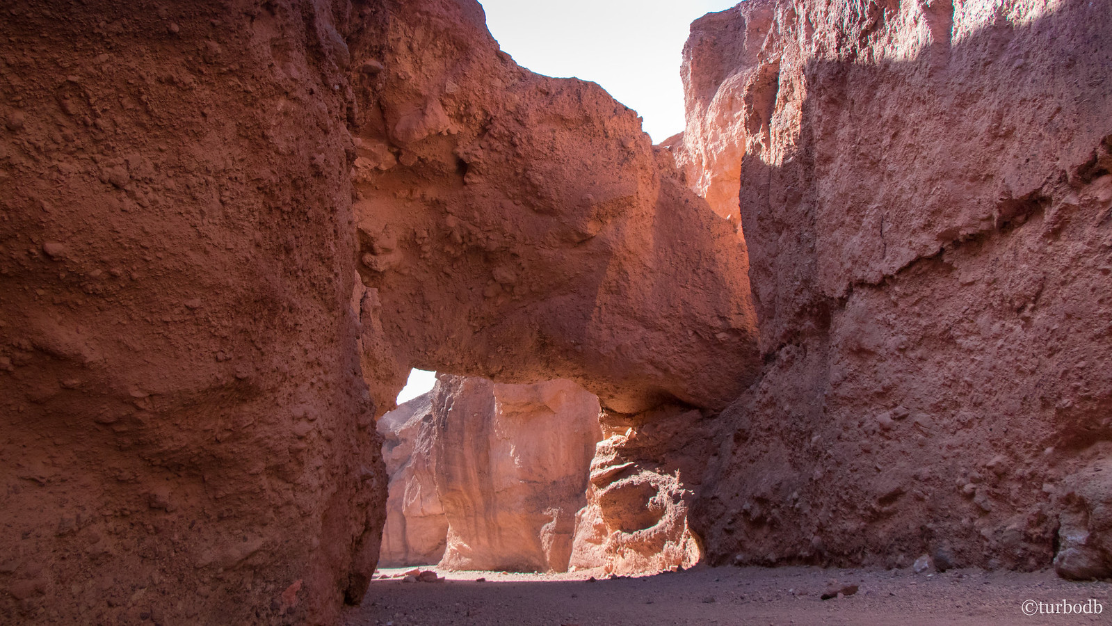
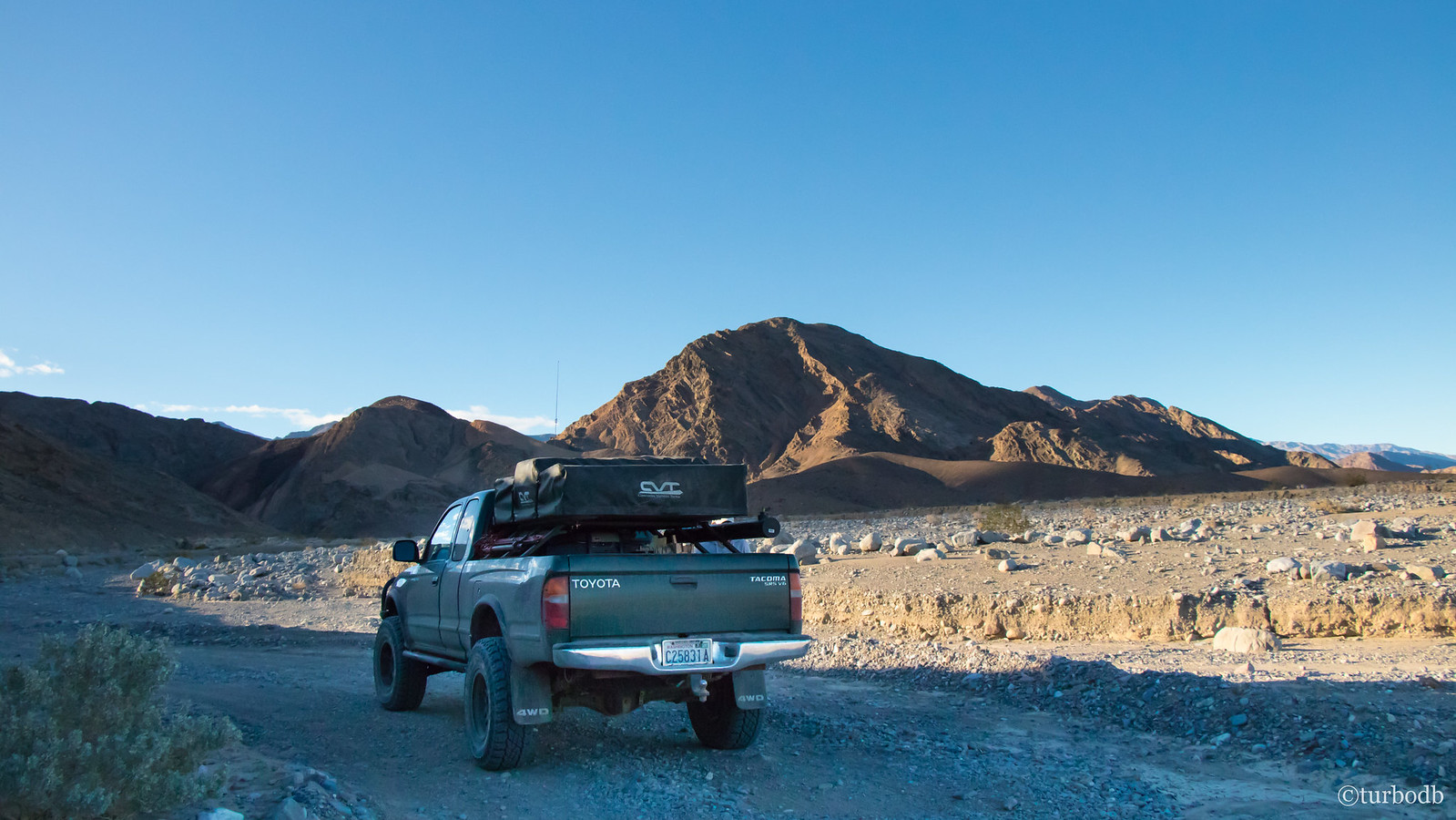
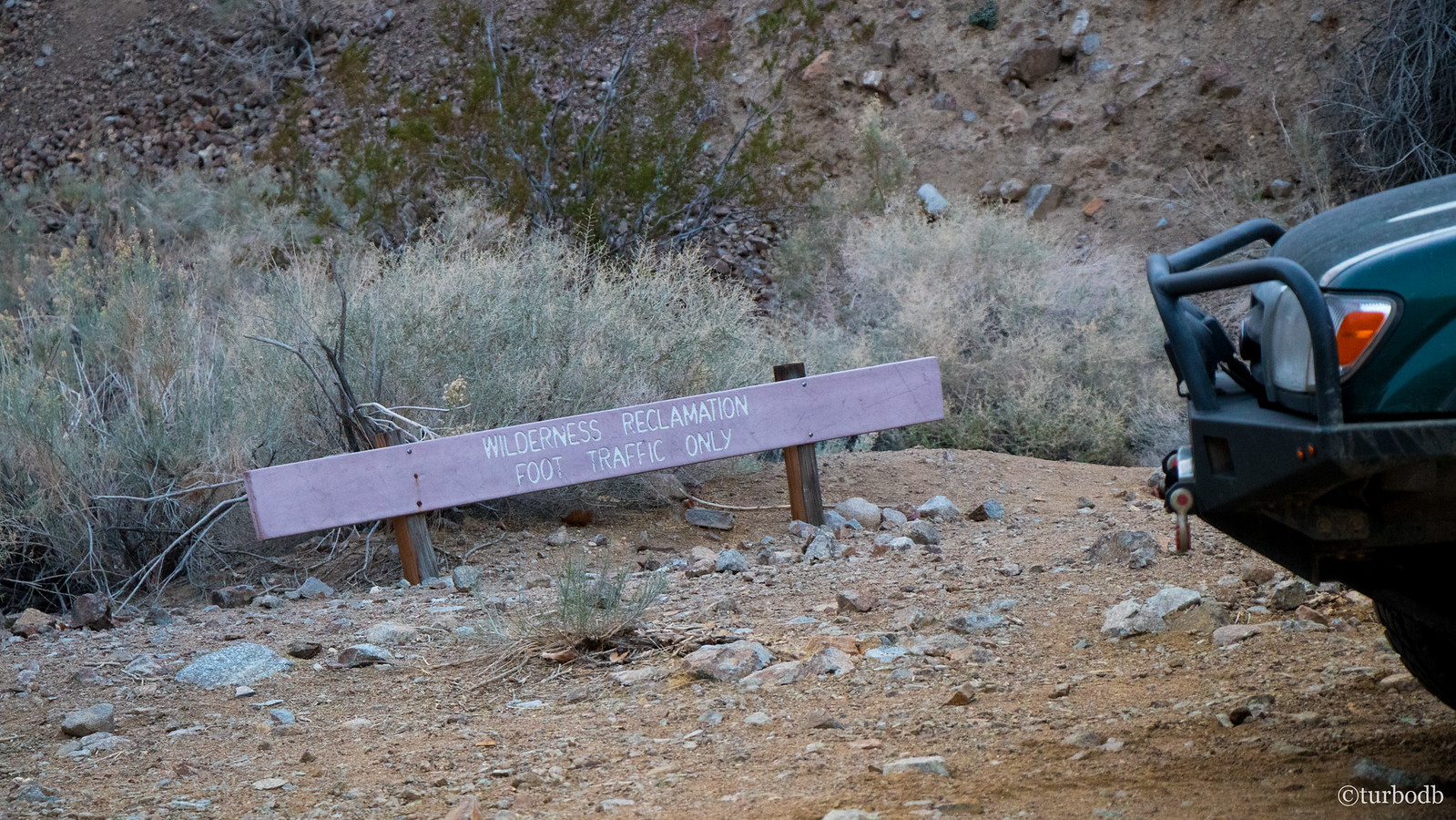
Having saved a few bucks, we headed out on the worst washboard road ever, on our way to Marble and Cottonwood Canyons. Speed and aired down tires were our friends on this road, but we were still glad when we finally got to the end of the washboard and into the canyons where rocks and canyon wash meant slower going and less "gagabumpgagabumpgagabump" at 40mph.
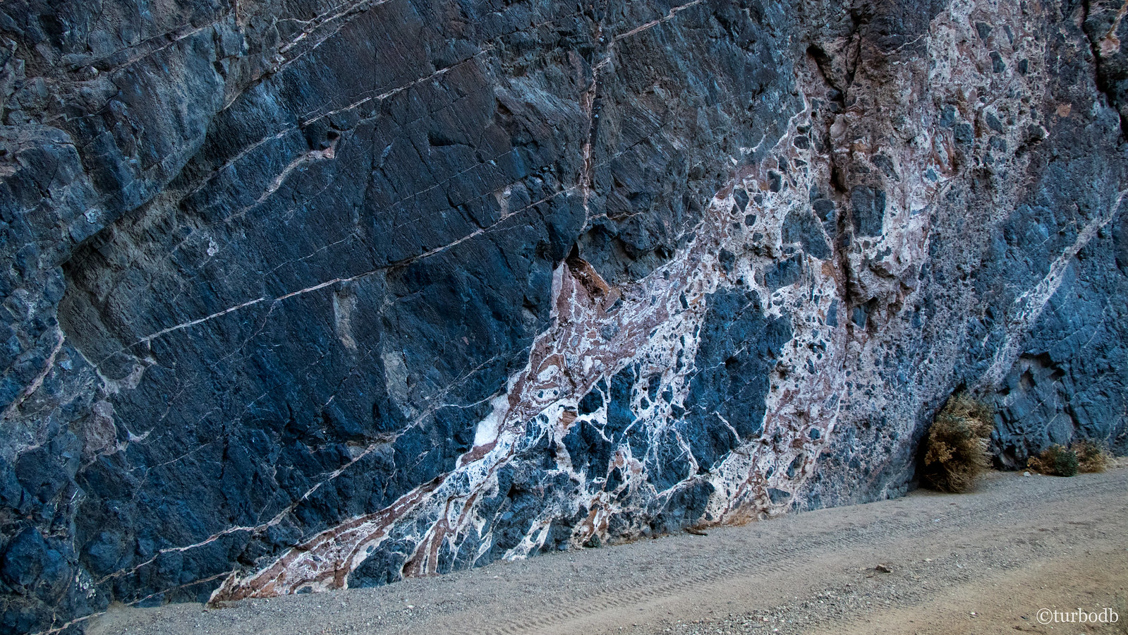
As we drove up Marble Canyon, we passed several sets of hikers - on foot, who looked semi-longingly at the truck. Unfortunately we were full, so there wasn't really any way to give them a lift. Of the two canyons, I think Marble Canyon is more beautiful than Cottonwood, and it has the added benefit of many petroglyphs if you know where to look. Unfortunately, we didn't, and we wanted to explore Cottonwood as well, so we only spent 20 minutes hiking up Marble Canyon once we hit the end of the road. In a bit of a rush, and not finding the petroglyphs we were after, I completely forgot to take any pictures!
Add it to the list of places to visit again next time!
Now 4:30pm, and with an hour of light left, we headed up Cottonwood Canyon to find a place to camp. We had no idea what we were looking for, but we figured we'd know it when we saw it.
We did. And then we drove right by. "To the end of the road!" we smiled, eager to finish out the adventure - after all, we'd come all this way, what was another 20 miles of dirt to say we'd been to the end?!
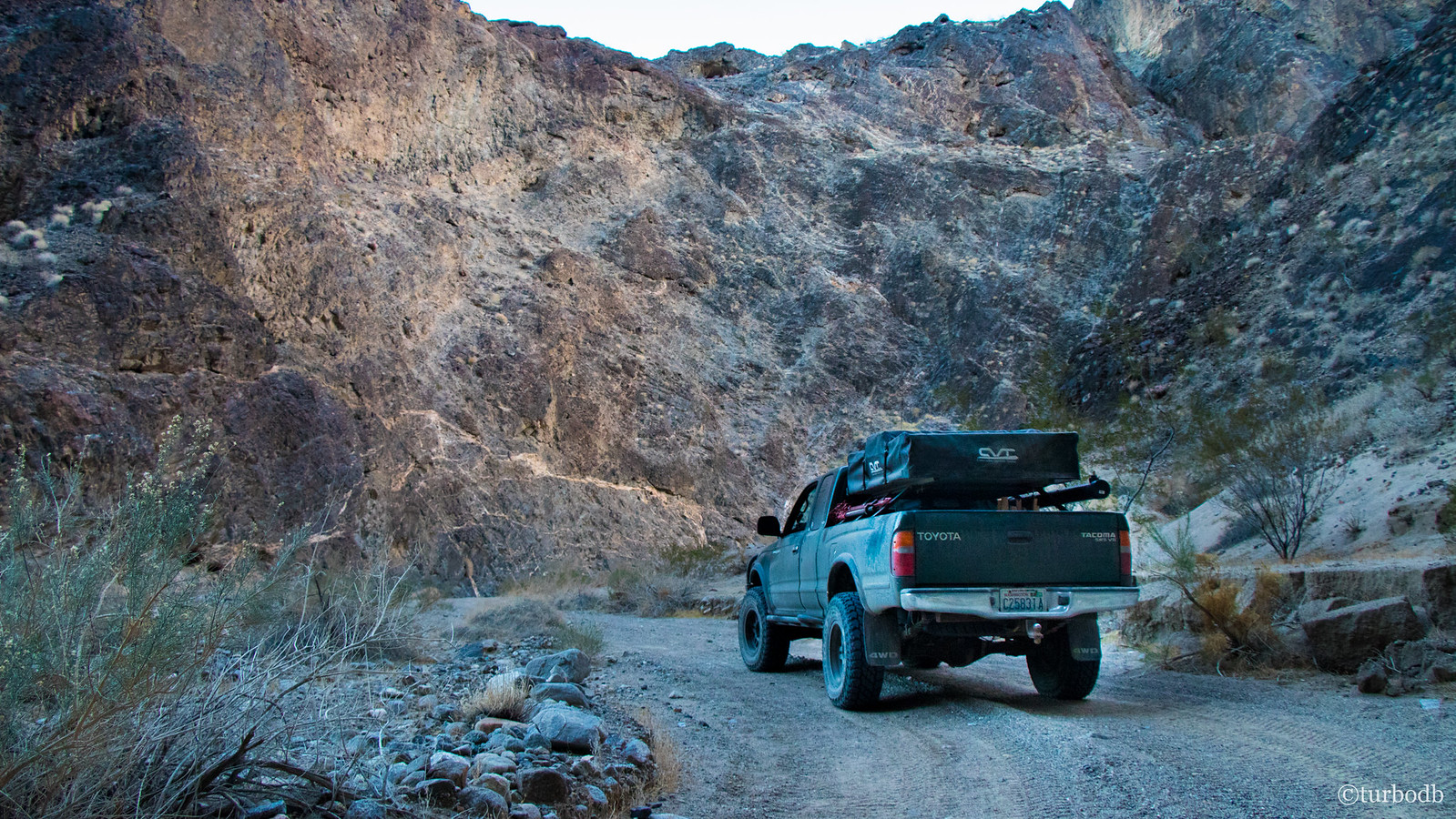
The end was a bit less dramatic than we'd hoped - the previously lush spring there had dried up years ago, leaving a stand of dead Cottonwood trees as the only witness to its existence. So, we turned around and headed back to the place we'd identified as camp.
We knew we'd arrive in the dark, but that was fine with us, the day had been another rousing success.
Beef tacos with fresh guacamole for dinner were nothing to complain about either.
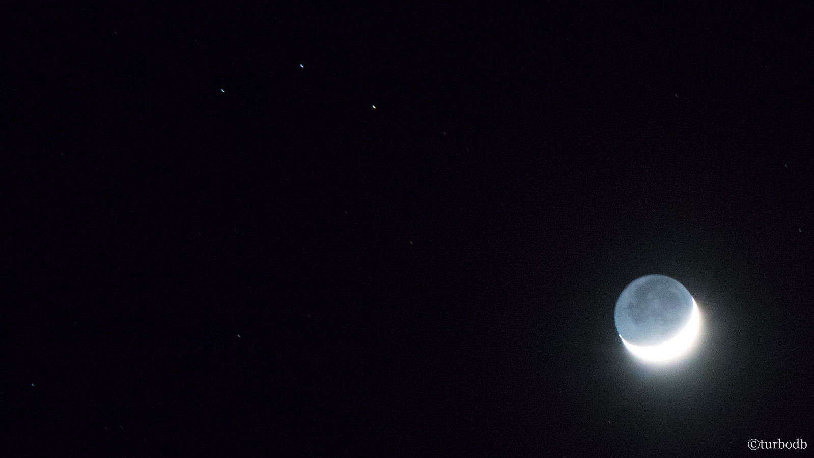
And the moon. And the stars.
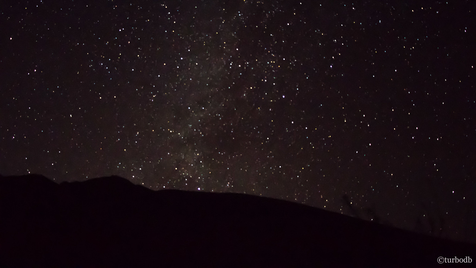
Sheltered in the canyon, there was little breeze - just enough to whisk away any moisture from our breathing, and we settled in for another good night sleep.
Knowing that in the morning - with some luck - we'd get to see the sun light up the canyon walls. And then, we'd continue our adventure (towards home).
The Whole Story
")


Love Death Valley? Check out other trips!
")

")


")

")
")


")
")

