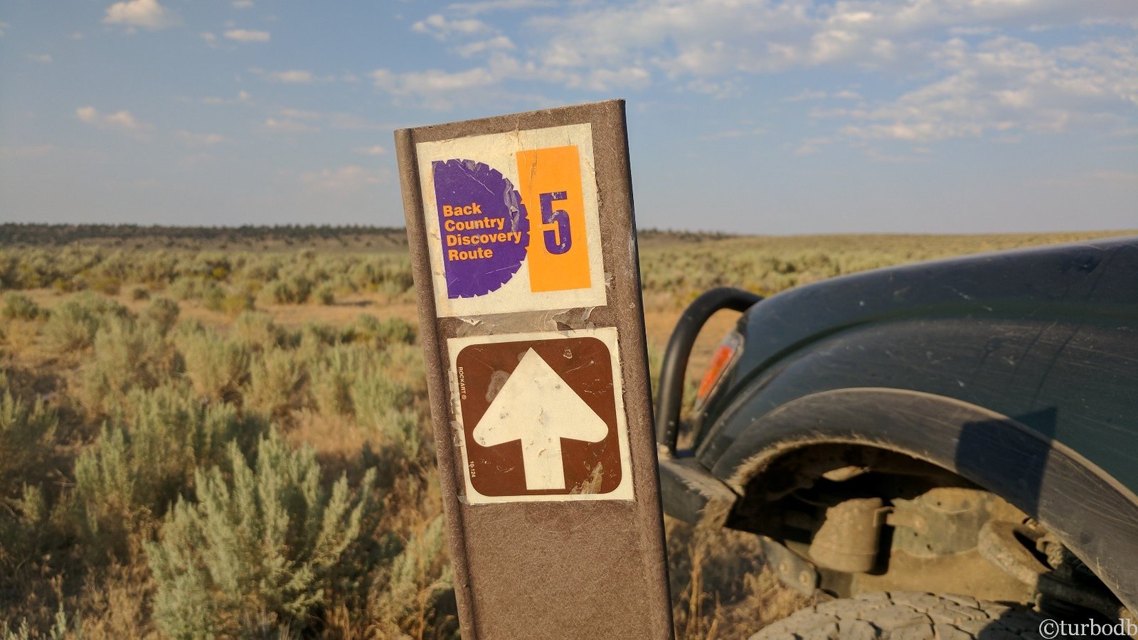
We've run two Backcountry Discovery Routes (BDRs) in the past - Oregon in 2017 and Washington in 2018. So, when it came to planning for this year, we decided that we'd run what we thought would be one of the coolest BDRs out there - Idaho.

Little did we realize that it would mean spending most of July in the beautiful state - we had, after all, just finished exploring the southeast and then the central parts of Idaho a couple weeks before we'd planned to embark on this south-to-north traverse of the state.
Not that we were complaining - this was clearly, our year to explore Idaho!
As far as the route itself goes, at 1,250 miles the IDBDR is much longer than either Oregon or Washington - understandable given that Idaho is as tall as the other two states combined.
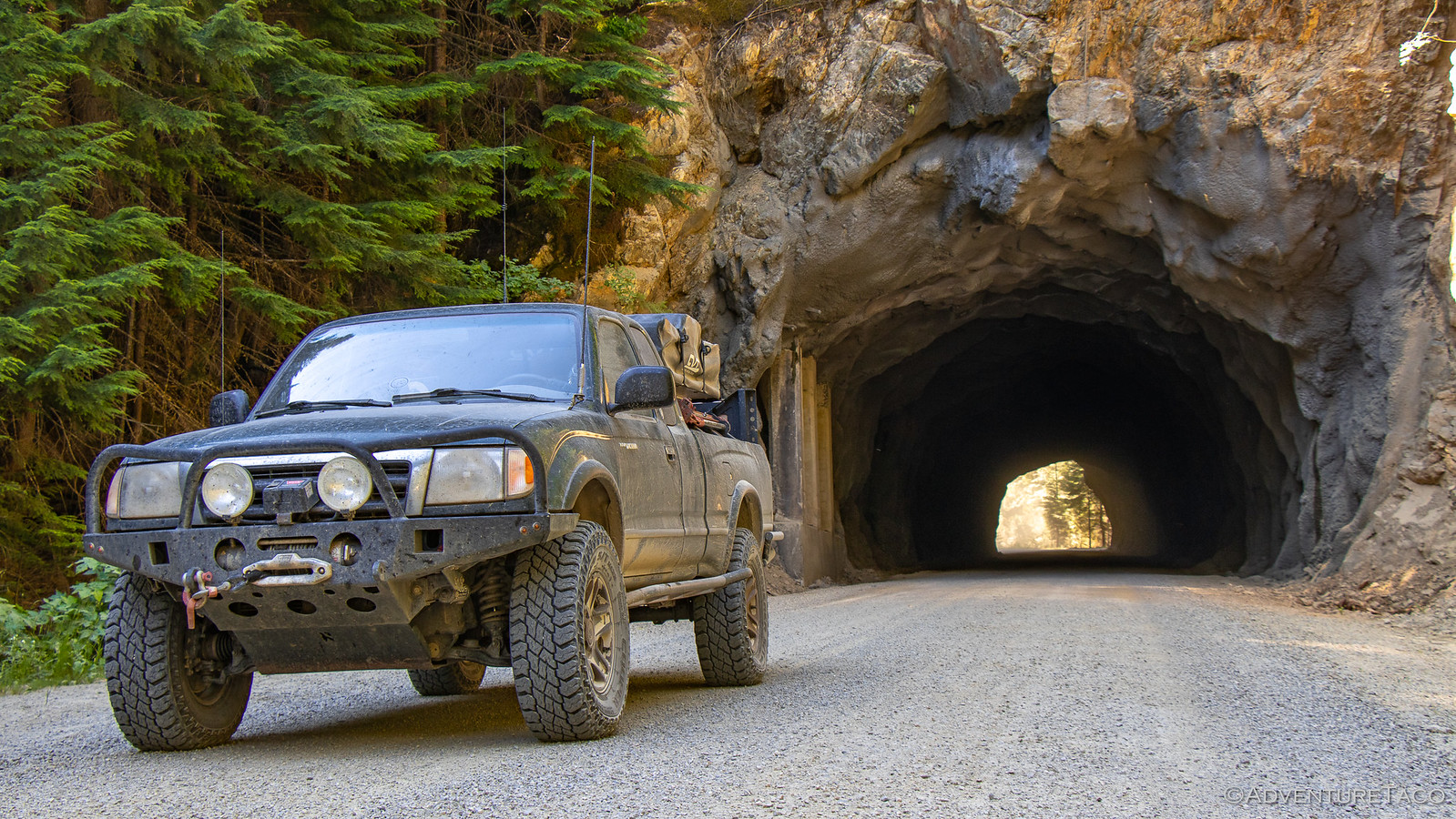
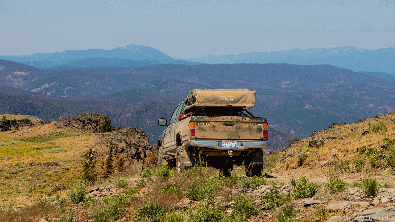
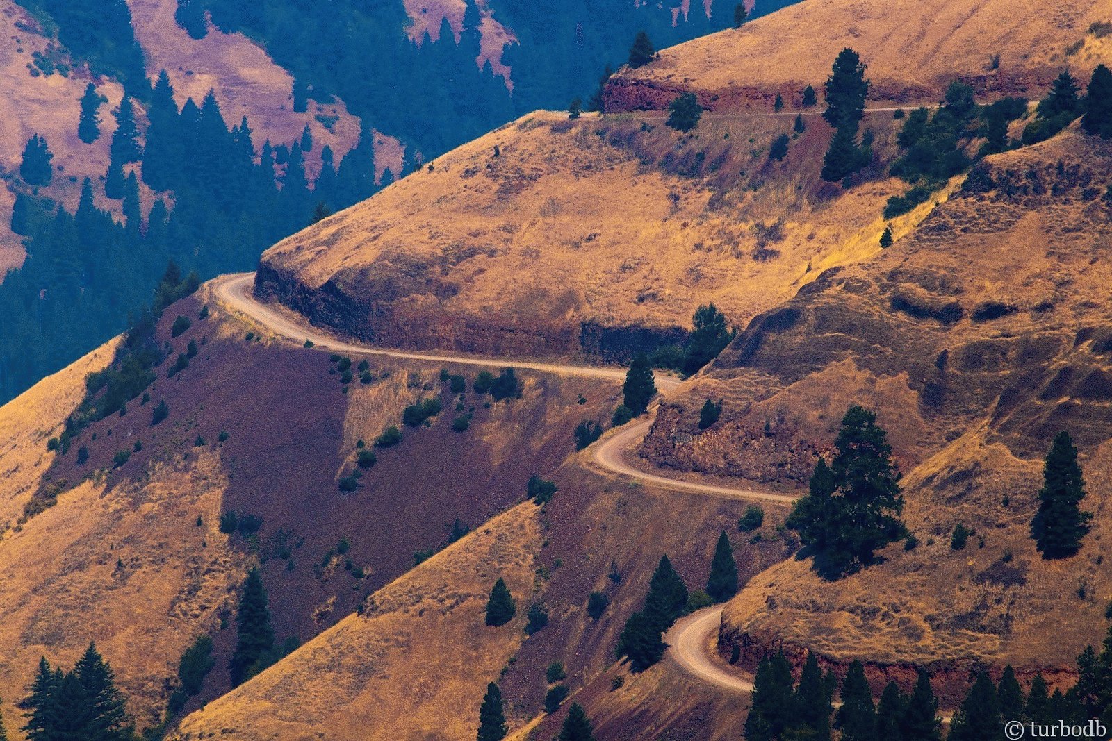
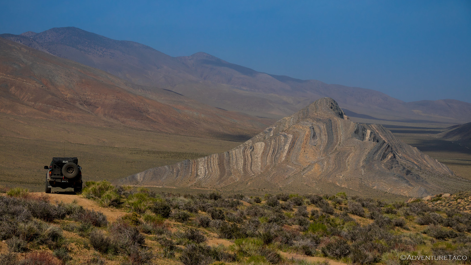
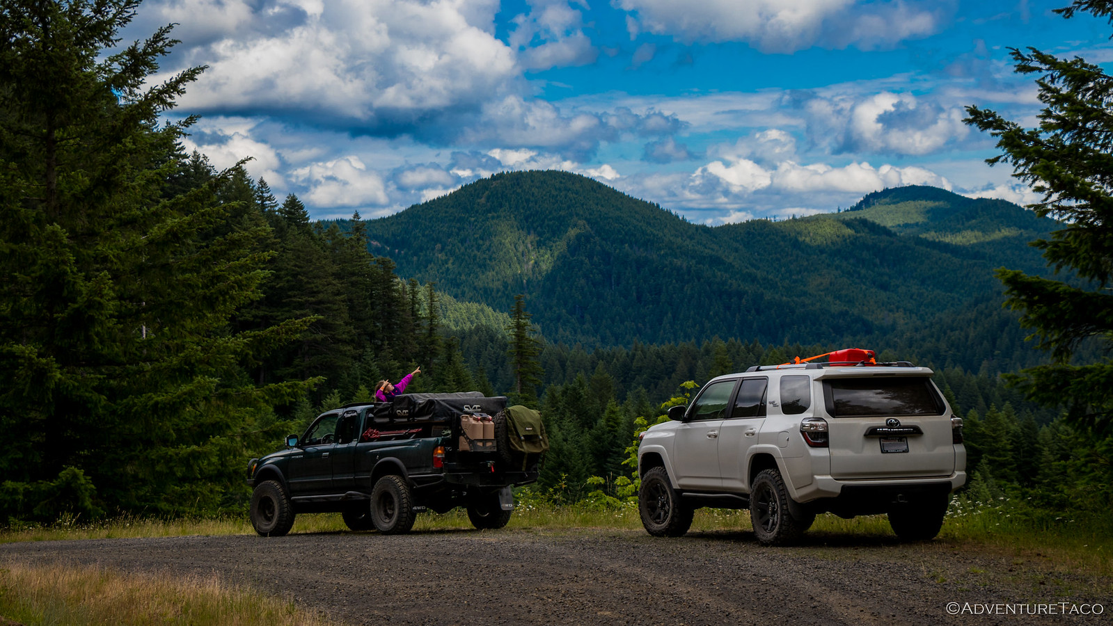
Over the eight stages, we'd have the chance to traverse both the historic Macgruder Corridor and the Lolo Motorway; to experience highs and lows - the route rising and falling from 1500' to over 8600' above sea level; to see and experience much that the state has to offer - from dry desert to temperate rain forest.
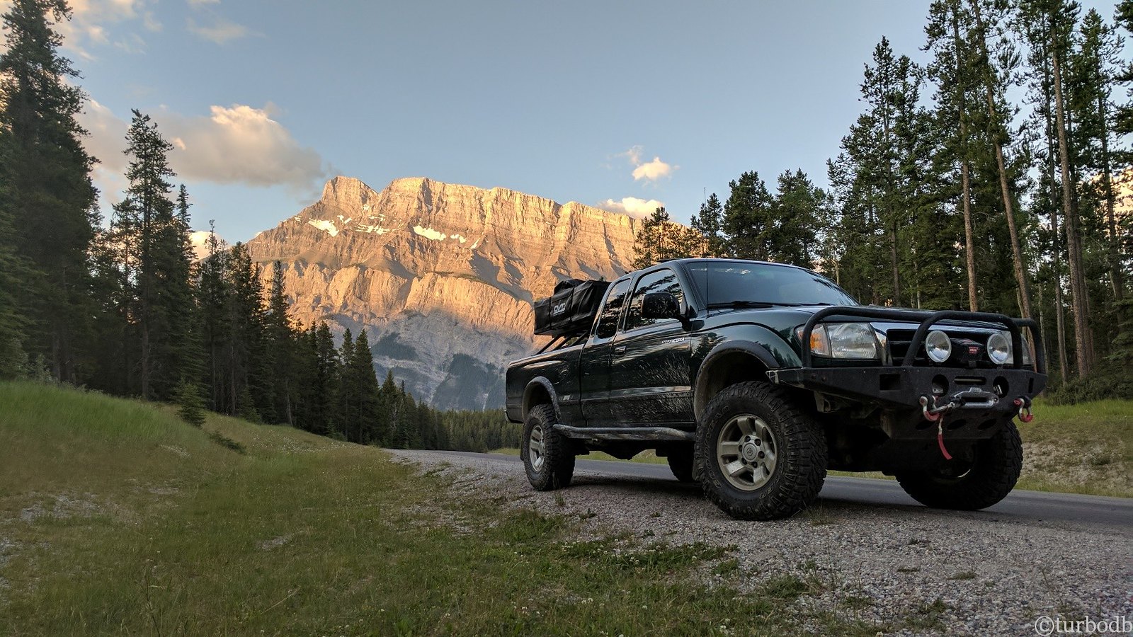
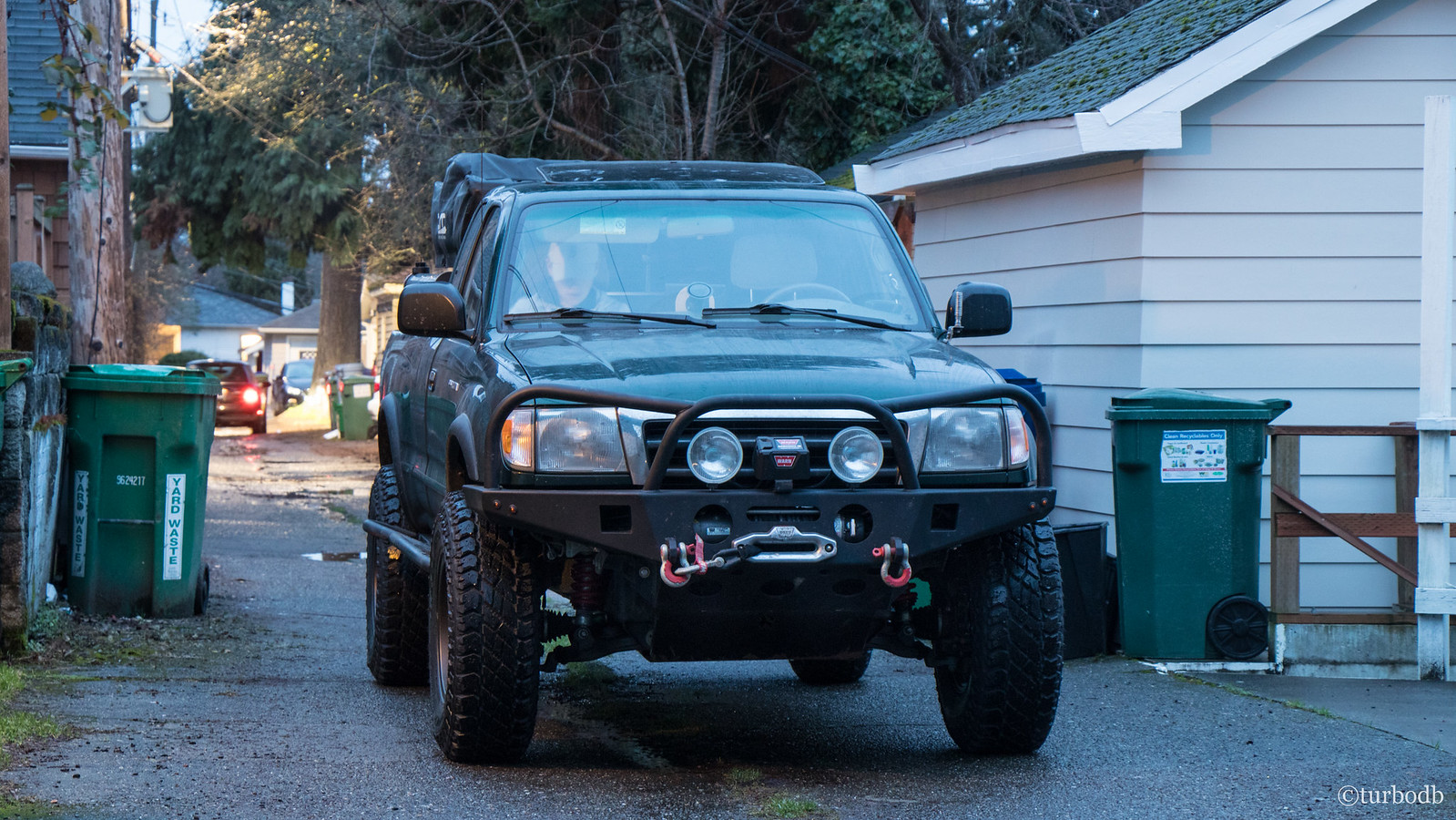
Of course, through it all, we knew we'd encounter some obstacles - we just didn't know what they'd be. Like Oregon had been, we'd be going solo; unlike Oregon, we and the truck were significantly more prepared and capable.
We'd allotted up to 11 days to complete the trip - unsure whether the roads would be fast (like Washington) or slow (like Oregon) - hoping that we could cover a section each day, with a couple days travel to-and-from home.
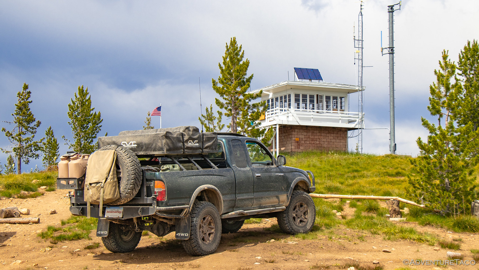
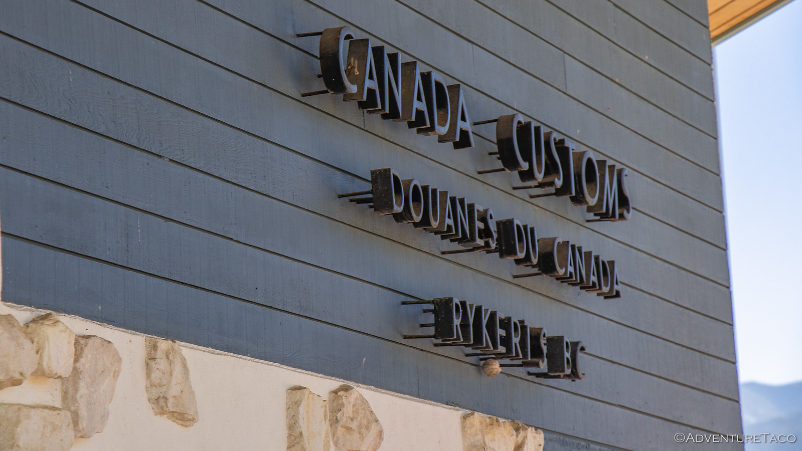
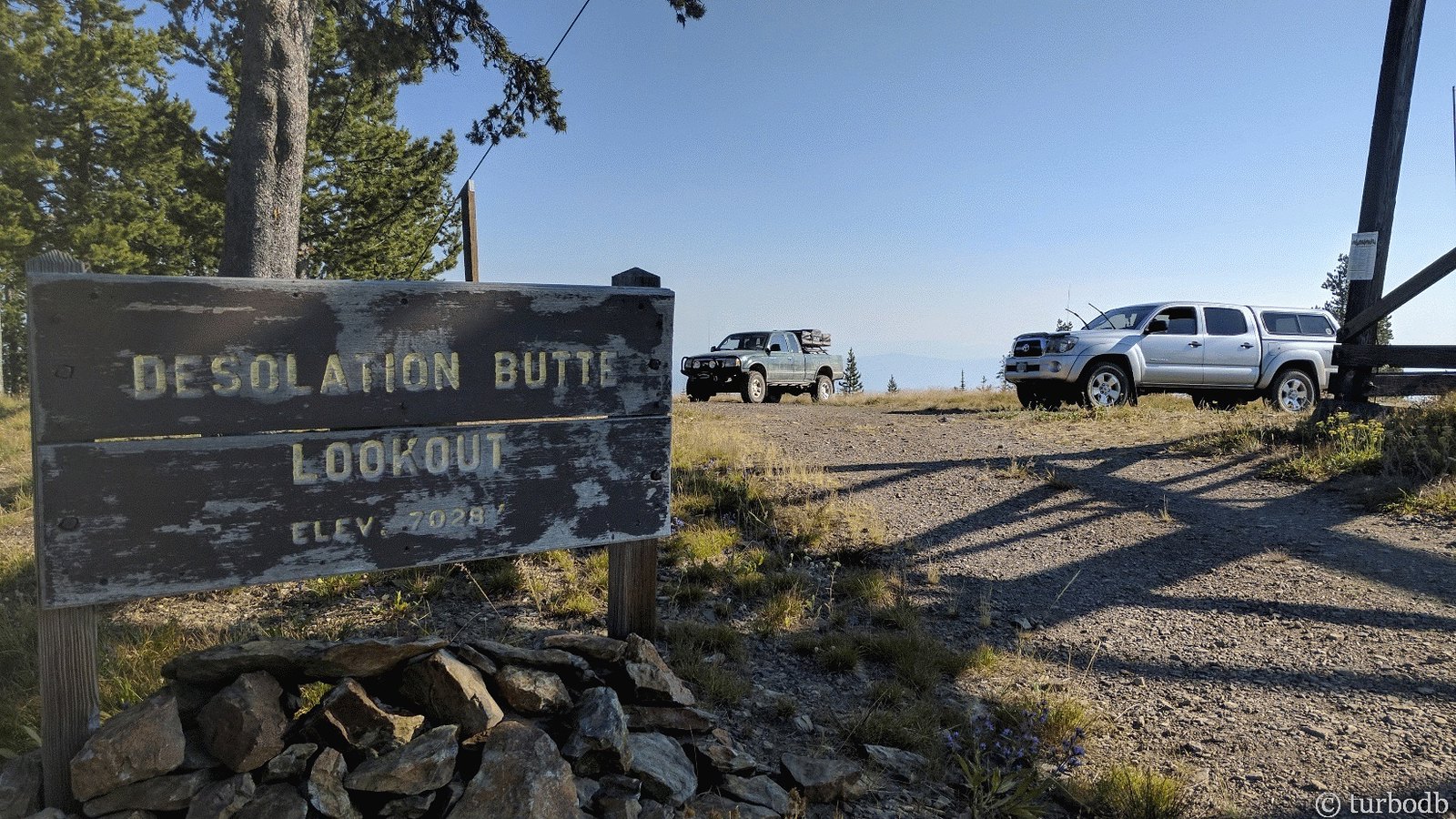
We'd start in the historic town of Jarbidge, NV as we made our way north - mostly on dirt roads - towards Canada and the Rykerts crossing. We'd surely pass countless fire lookouts and hot springs. If we were lucky, we'd see a wide array of wildlife - deer, elk, moose, perhaps even a bear or mountain lion.
And so it was, that on a Wednesday in the middle of the month, we packed up our passports, a few changes of clothes, and enough food for most of our trip, and headed east - a cool 717 miles standing between us and the beginning of our IDBDR adventure.
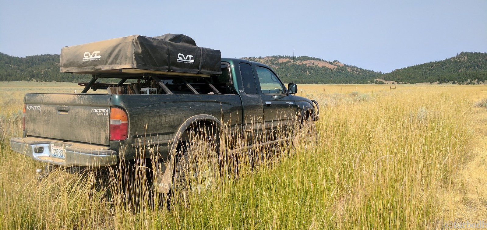
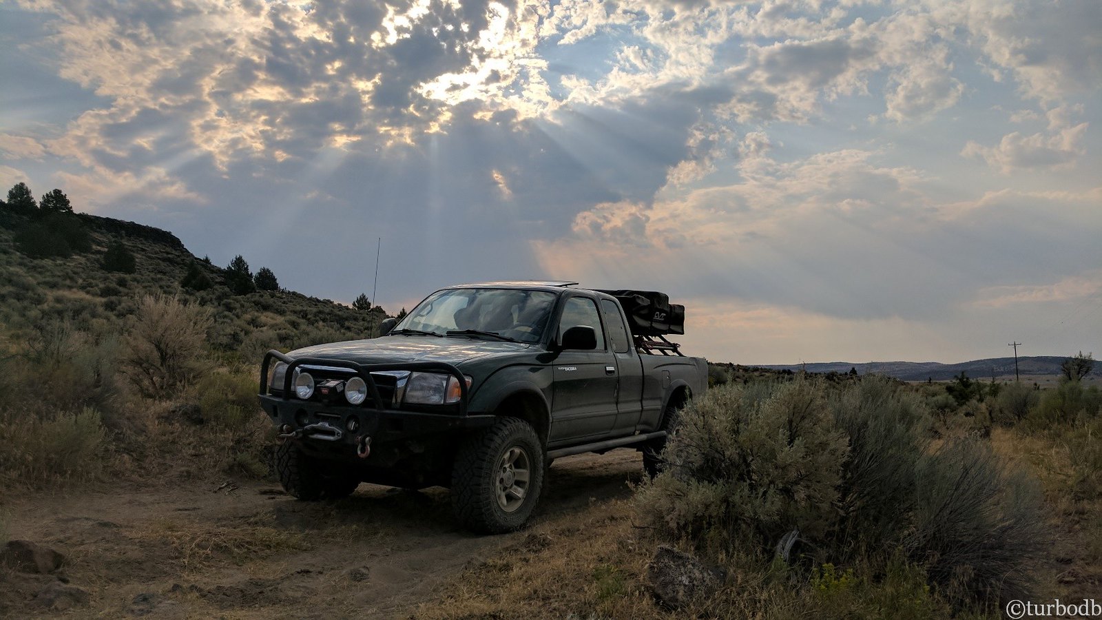
It was midnight when we finally found camp a few miles outside of Jarbidge, having just missed hitting a cow calf who wandered into the road in front of the truck. Exhausted, we climbed into the tent and were asleep within minutes, excited for what the next day had in store!
The Whole Story







Any links to routes you followed?
Hi Sean,
I don't generally share the raw GPX tracks when folks ask for them, for a couple reasons:
Probably not the exact answer you were hoping for, but I hope you understand.
Anyway, a few tips for trip planning and IDBDR specifically:
I am happy to answer specific questions about a specific route/option/location if you have any as you’re coming up with a route.